
|
|
Mountain/Rock |
|---|---|
|
|
36.30092°N / 115.72403°W |
|
|
Download GPX » View Route on Map |
|
|
Mountaineering |
|
|
10154 ft / 3095 m |
|
|
Overview
Rank: Amargosa Overlook is Nevada’s 215th highest ranked peak
Prominence: 460 ft
Amargosa Overlook rises near Lee Canyon Ski area in the Spring Mountains of Nevada Northwest of Las Vegas. From near the ski area, you could follow a trail to a 9720 ft saddle where you will leave the trail and go up a forested slope to reach the top of a 10010 ft high point. A 1.5-mile forested ridgetop hike that involves a lot of small ups and downs will then get you to the summit of Amargosa Overlook where you will have great views of Mt. Charleston and the town of Pahrump. Along the way, you will see Bristlecone Trees that might be thousands of years old.
Getting There
From the intersection of I-15 and US 95 in Las Vegas, drive roughly 29 miles north on US 95 and turn west onto Nevada Route 156. Continue 18 miles to the end of 156 just past Lee Canyon Ski Area at Upper Bristlecone Trailhead. Driving time from Las Vegas strip is about one hour.
Route/Trip Report
Hike Length: 7.09 miles
Starting Elevation: 8680
Summit Elevation: 10154 ft
Total Ascent (per my GPS): 2360 ft
Pictures taken May 28, 2023 (second snowiest year on record).
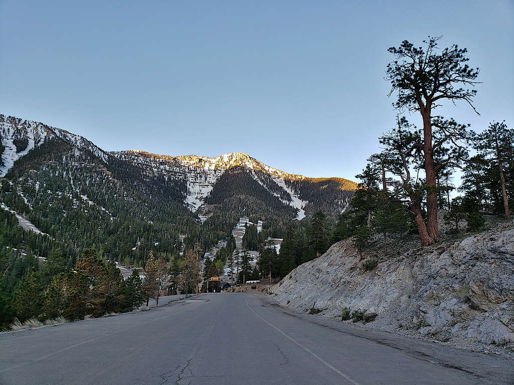
Left the hotel on Las Vegas Strip around 4:40 AM (sunrise 5:30 AM) and drove to Lee Canyon Ski Area going to Upper Bristlecone Trail parking area where I started my hike at 5:50 AM. View of the 11289 ft Lee Peak and the ski area from the trailhead.
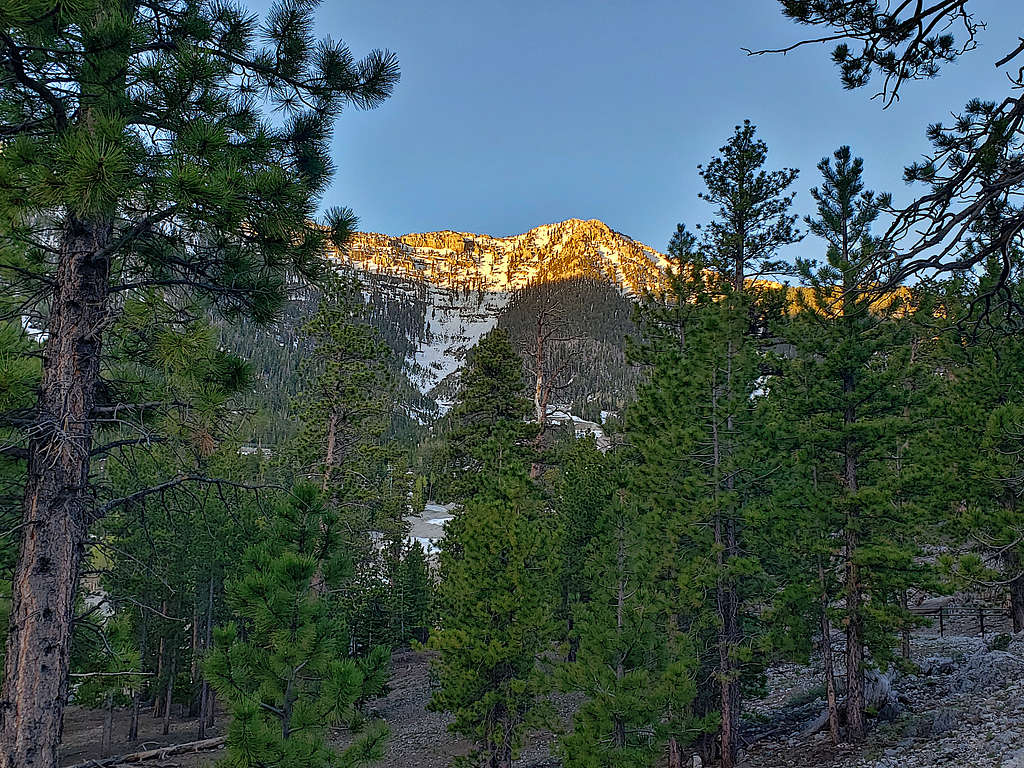
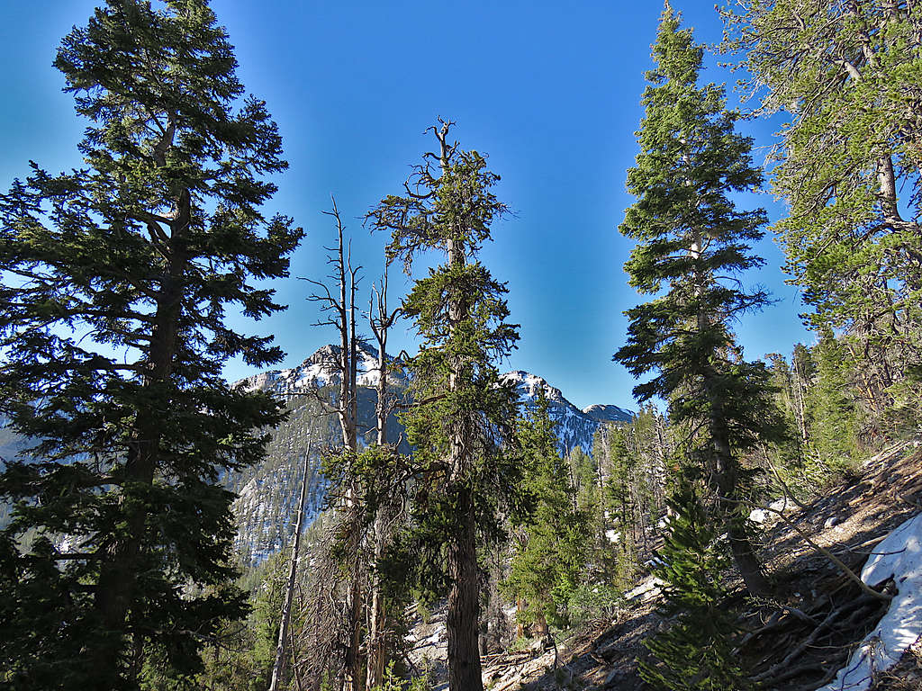
The trail took me into a pine forest giving me glimpses of the tip of Lee Peak.
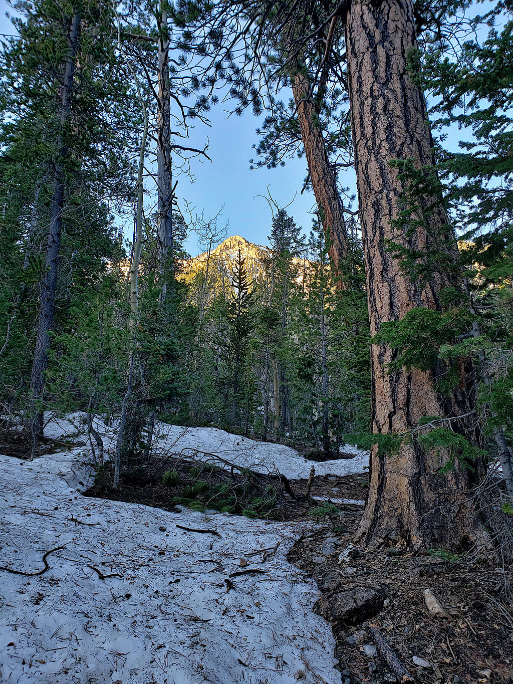
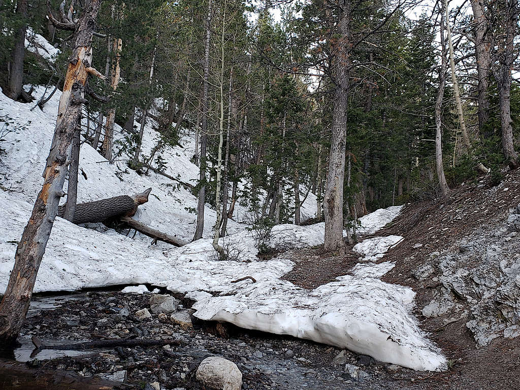
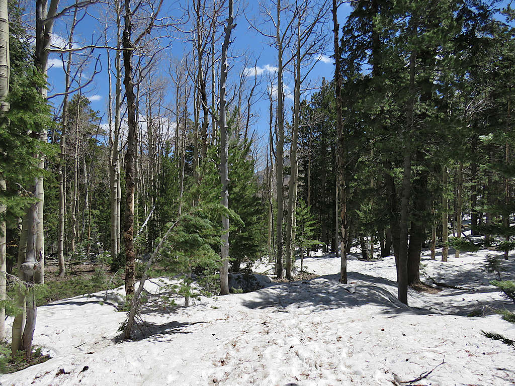
Snow came to cover parts of the ground, but the going was easy.
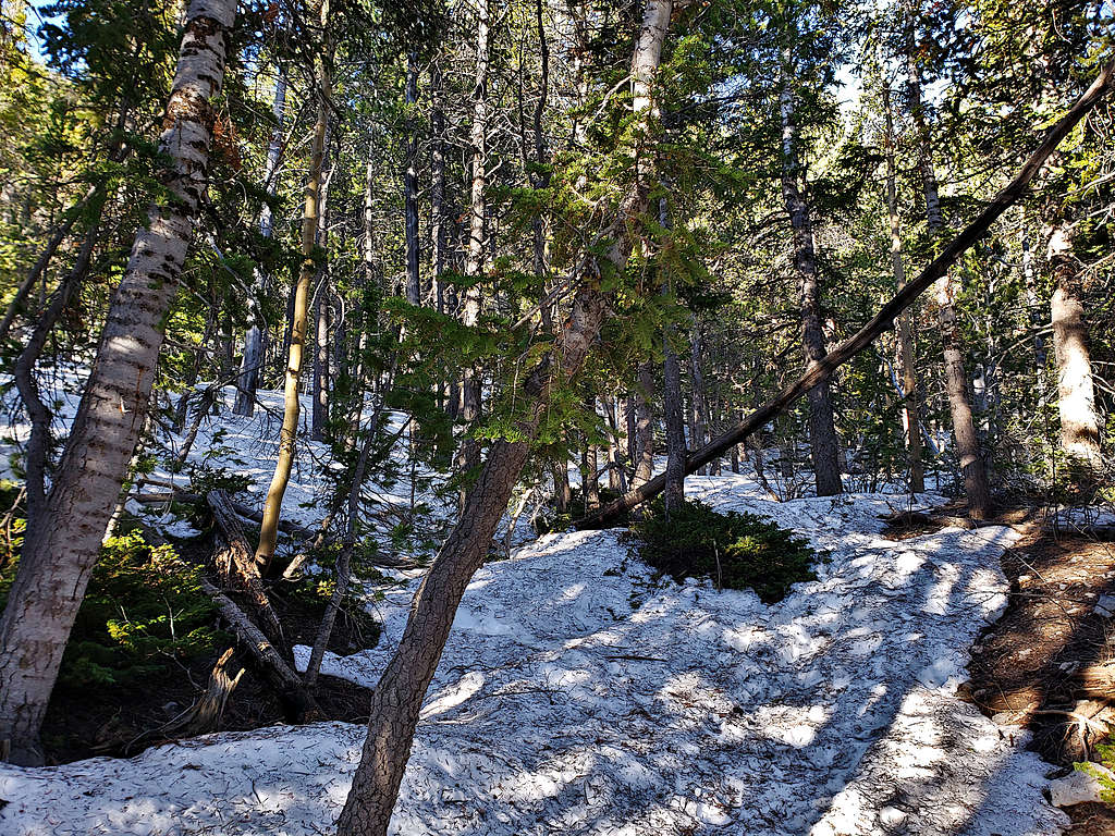
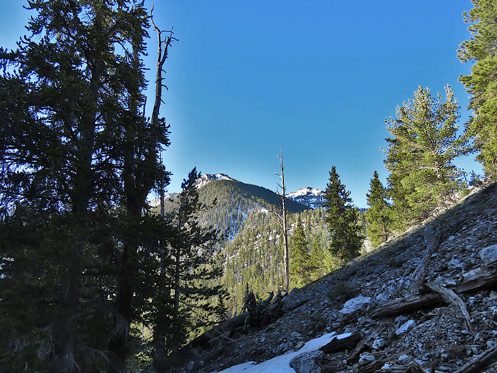
At 6:25 AM, 9080 ft elevation and 1.1 miles of hiking, I reached a place where the trail made a 180-degree turn. I left the main trail going up the bottom of the drainage until I found an old trail and began to follow that up. Started getting good views of Lee Peak. The tip of Charleston Peak also appeared.
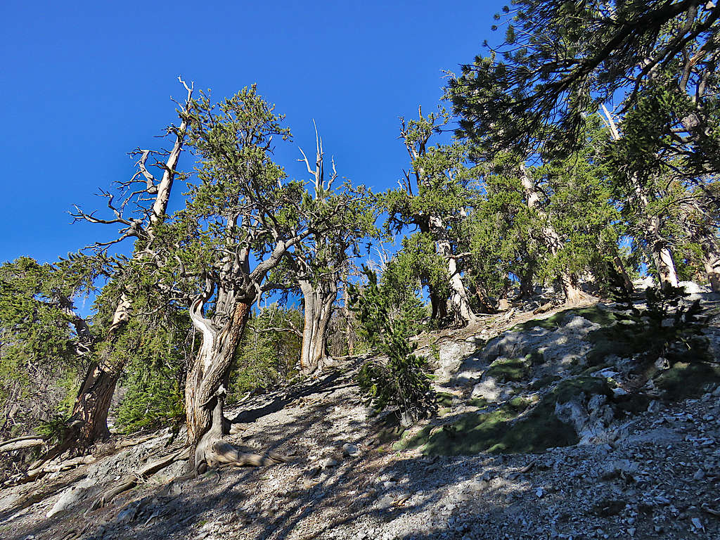
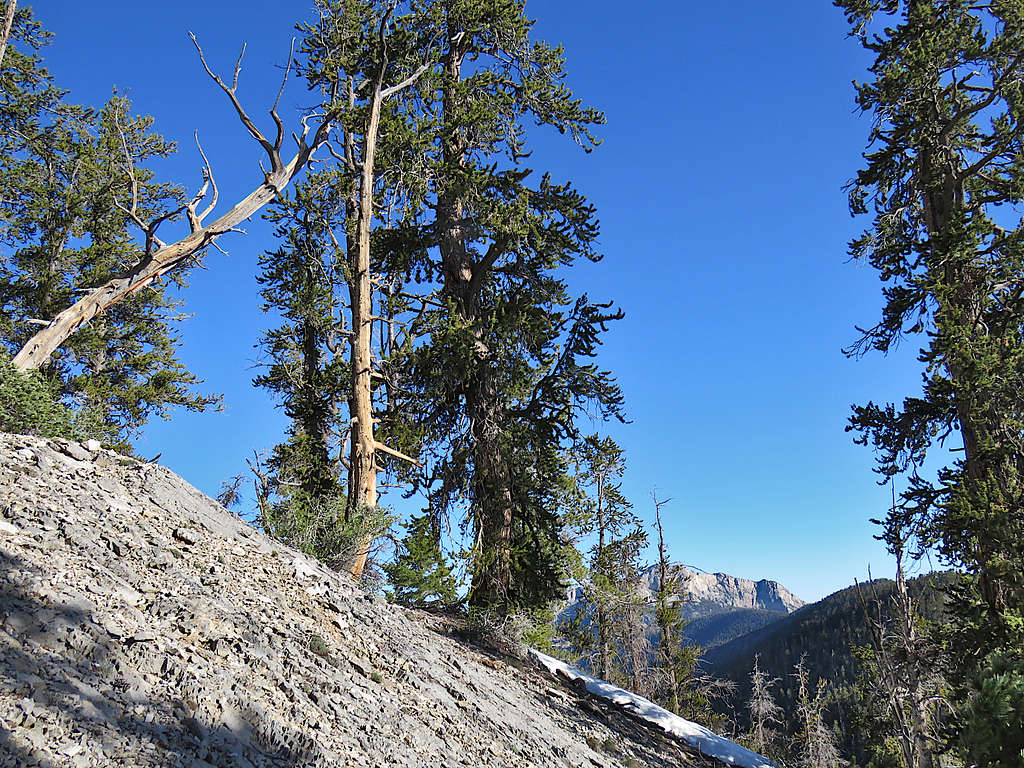
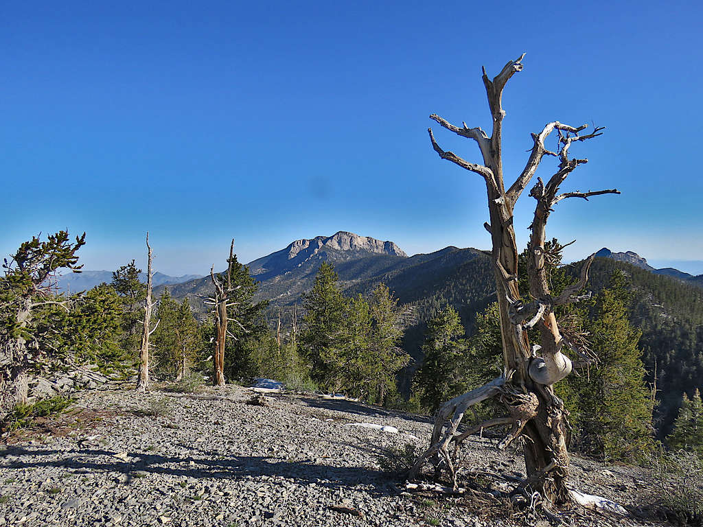
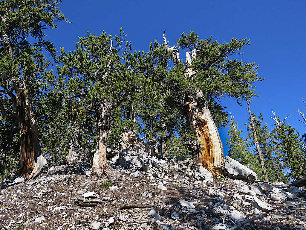
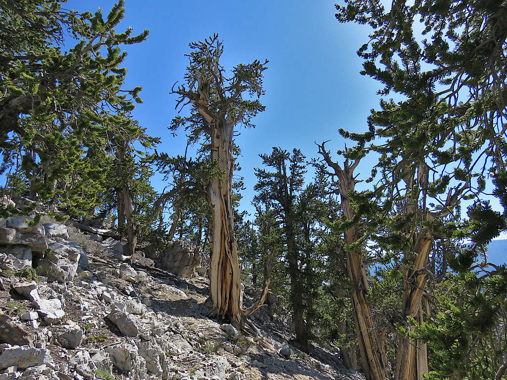
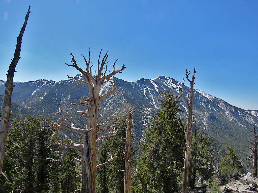
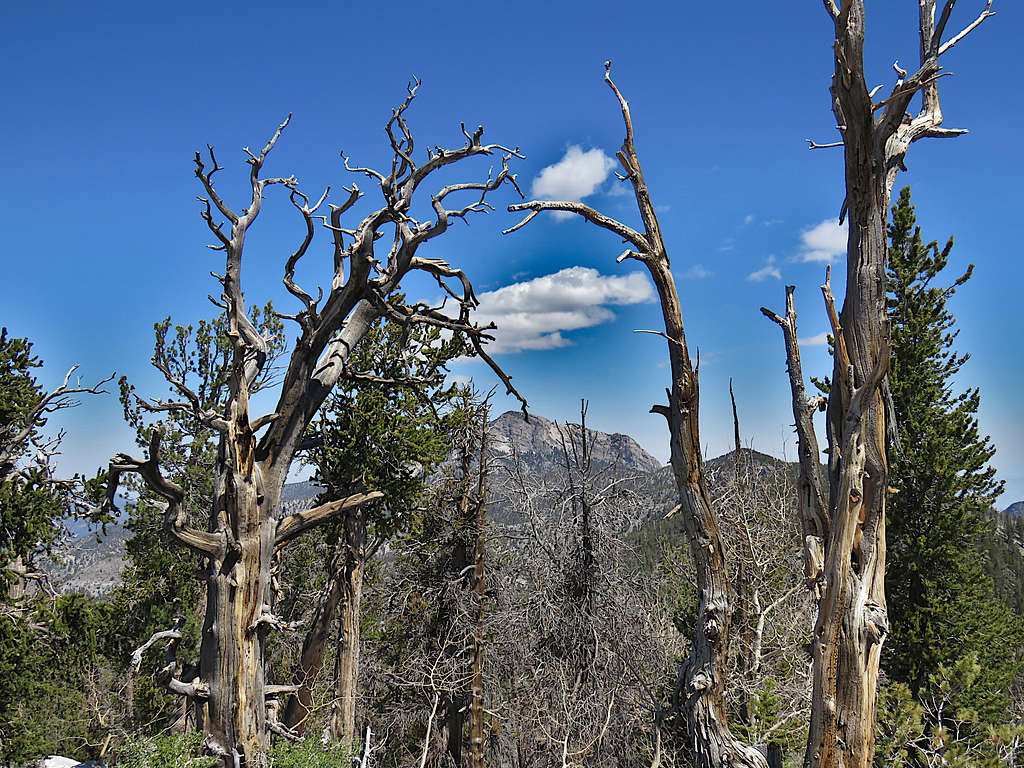
Old Bristlecones gave me a strange sense of happiness. They were probably thousands of years old.
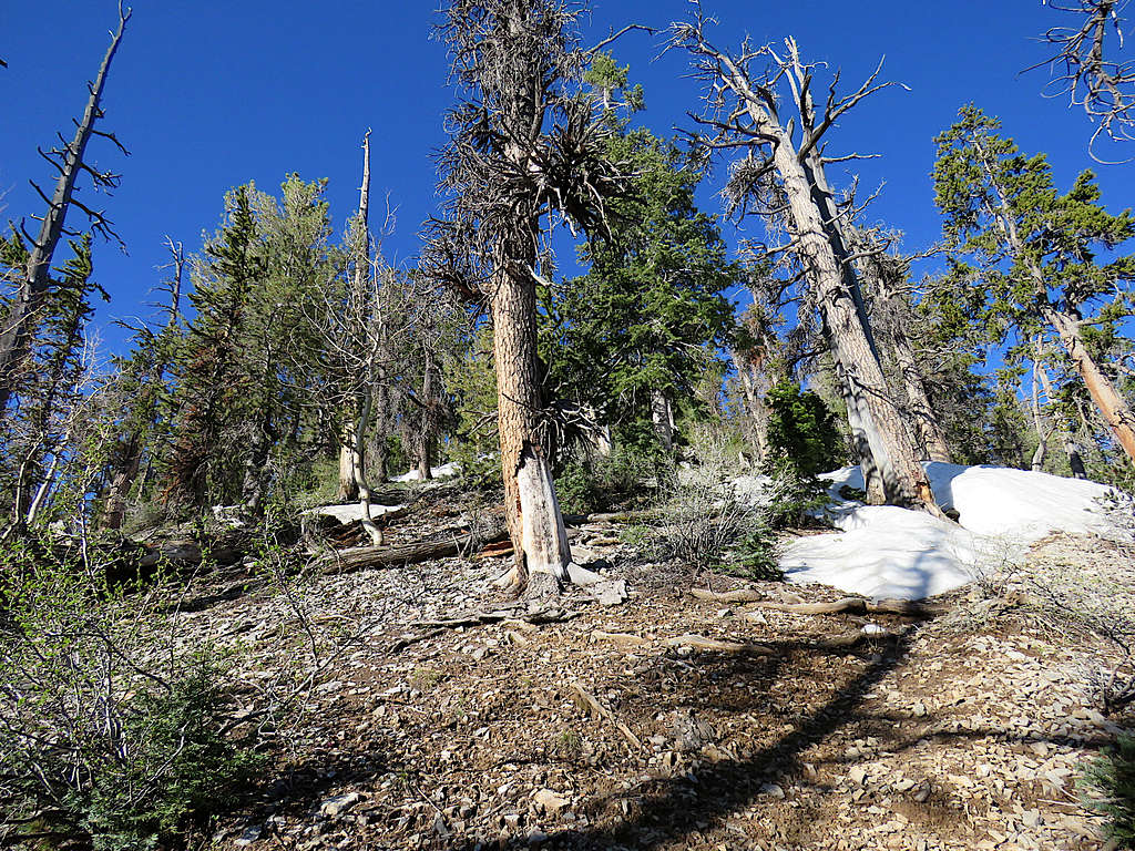
At 7:05 AM, 9720 ft and 1.8 miles of hiking, I reached a saddle. Left the trail and began going up a forested slope to the south.
McFarland Peak.
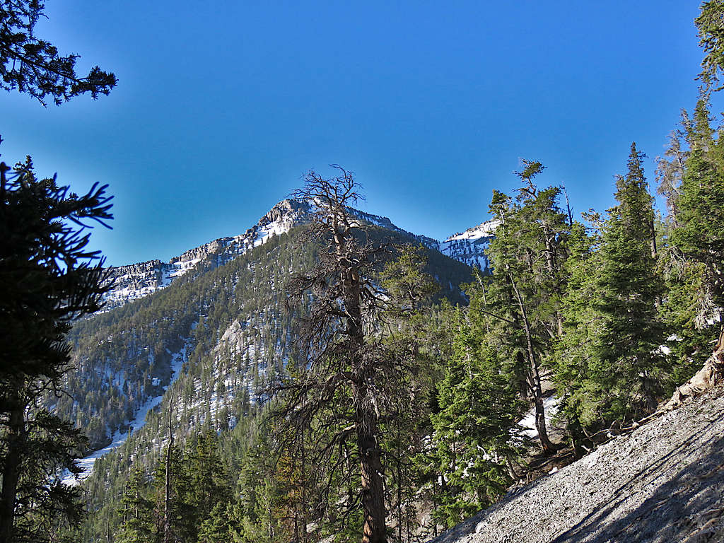
South Sister Peak.
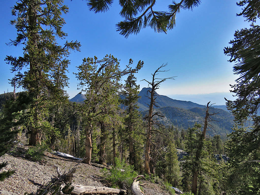
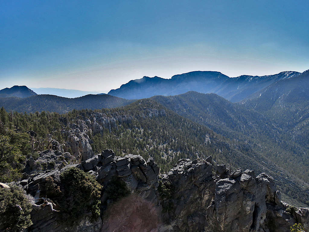
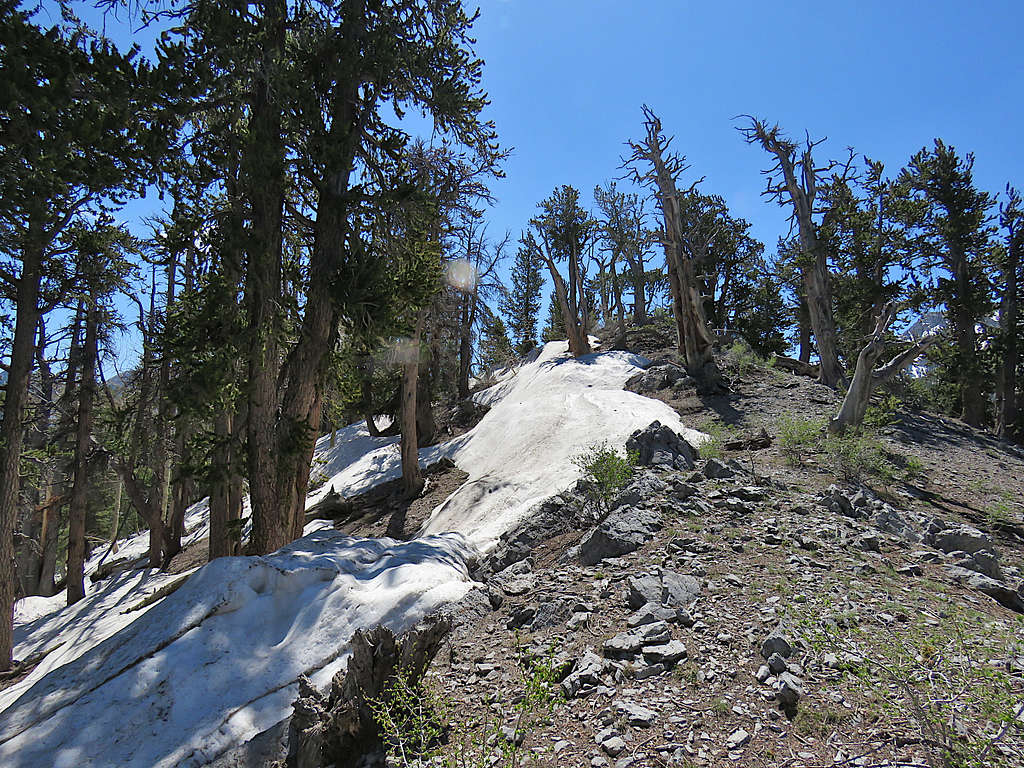
I was soon on top of Point 10010 ft. Amargosa Overlook came to view.
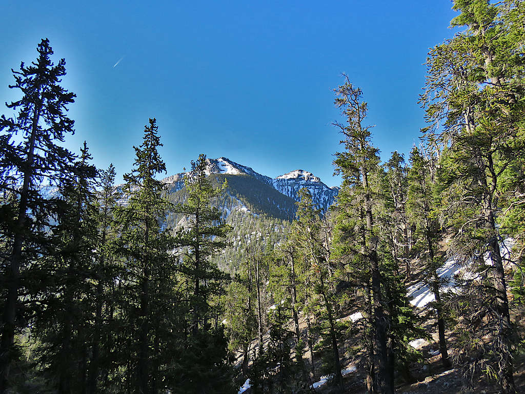
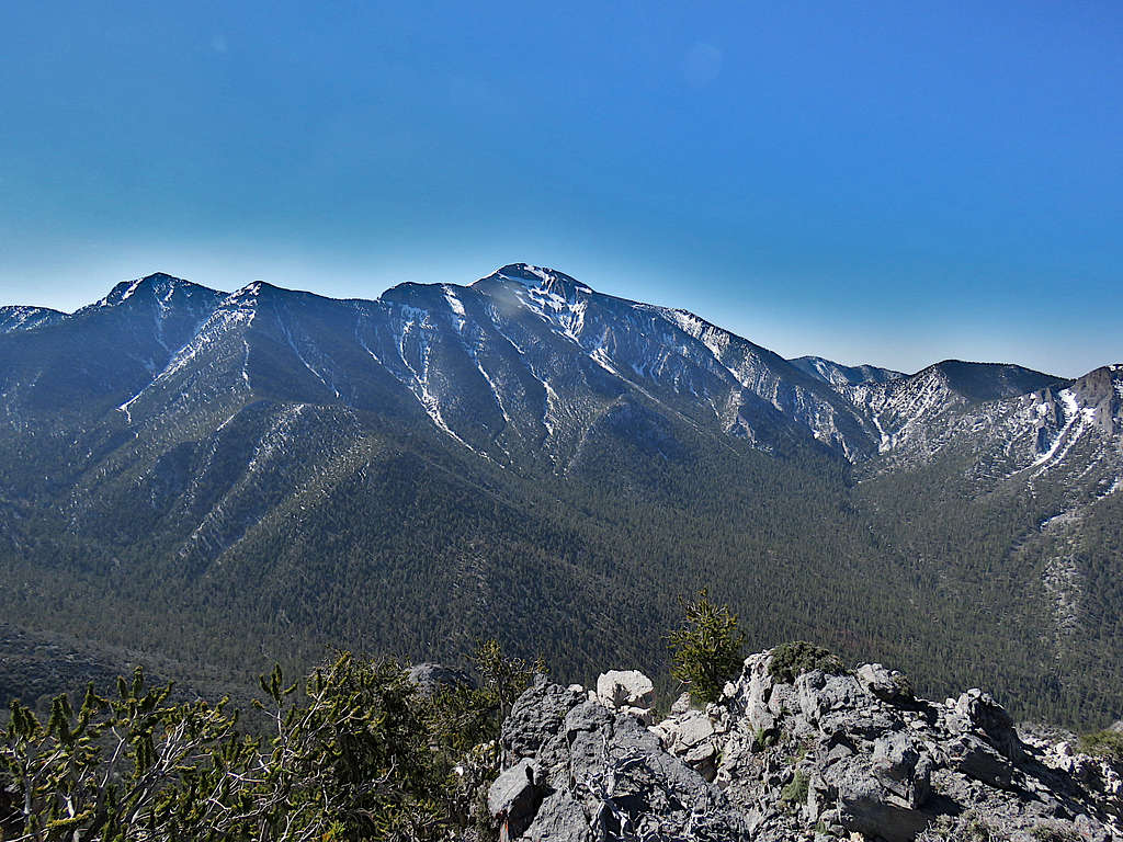
Charleston Peak, Lee Peak and Point 11161 ft.
McFarland Peak.
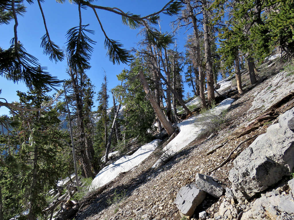
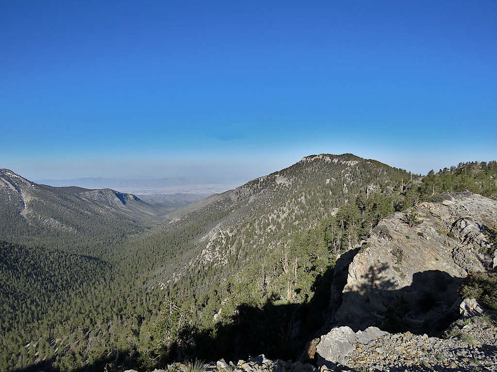
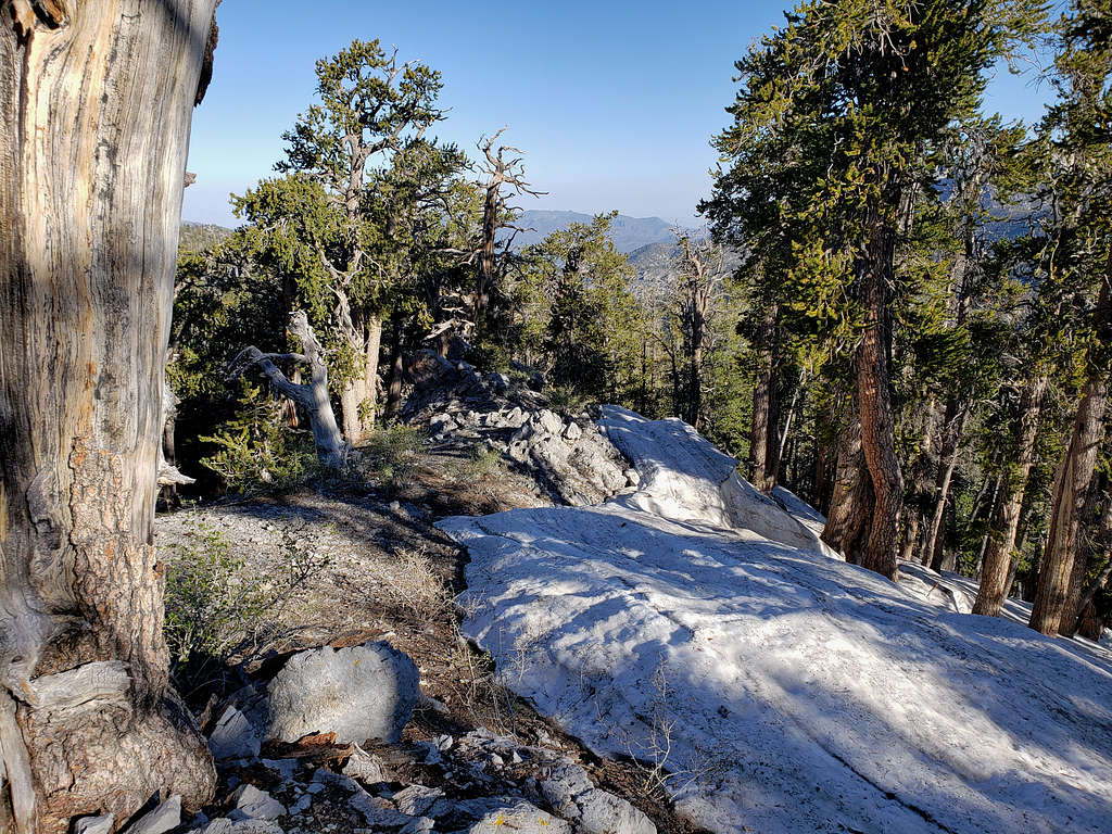
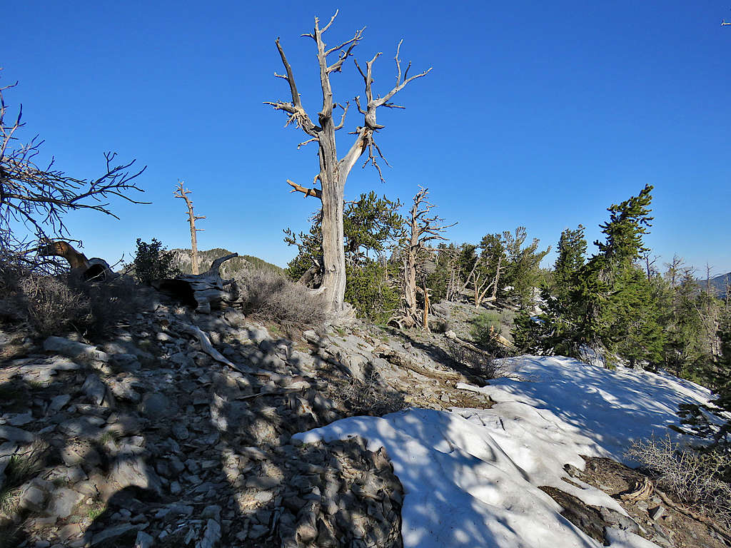
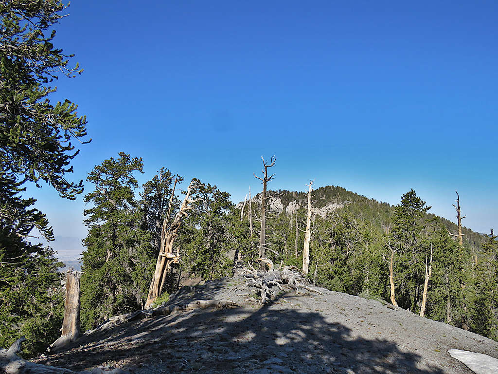
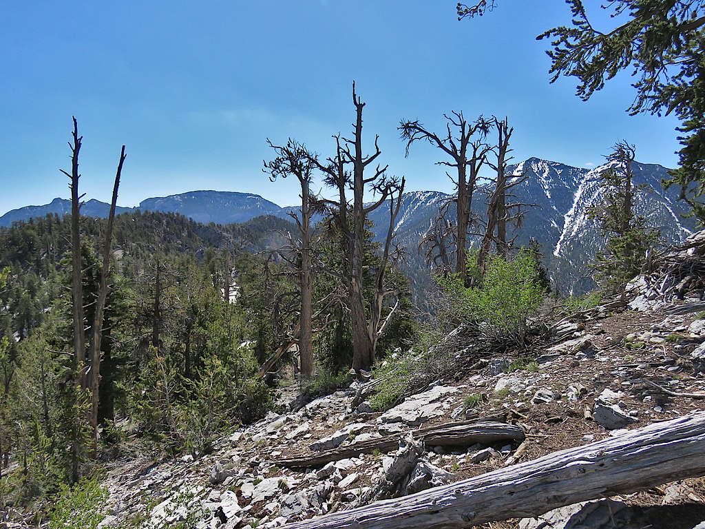
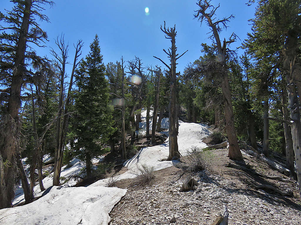
Turned west and began to follow the forested ridgetop which did a lot of little ups and downs (minimum of 9790 ft)
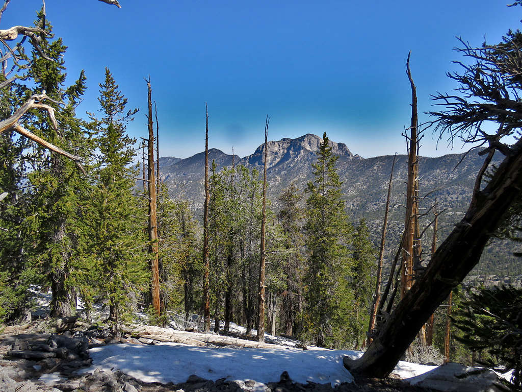
Charleston Peak.
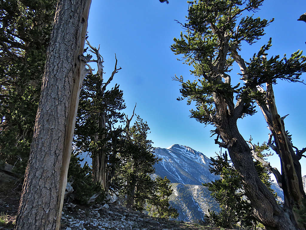
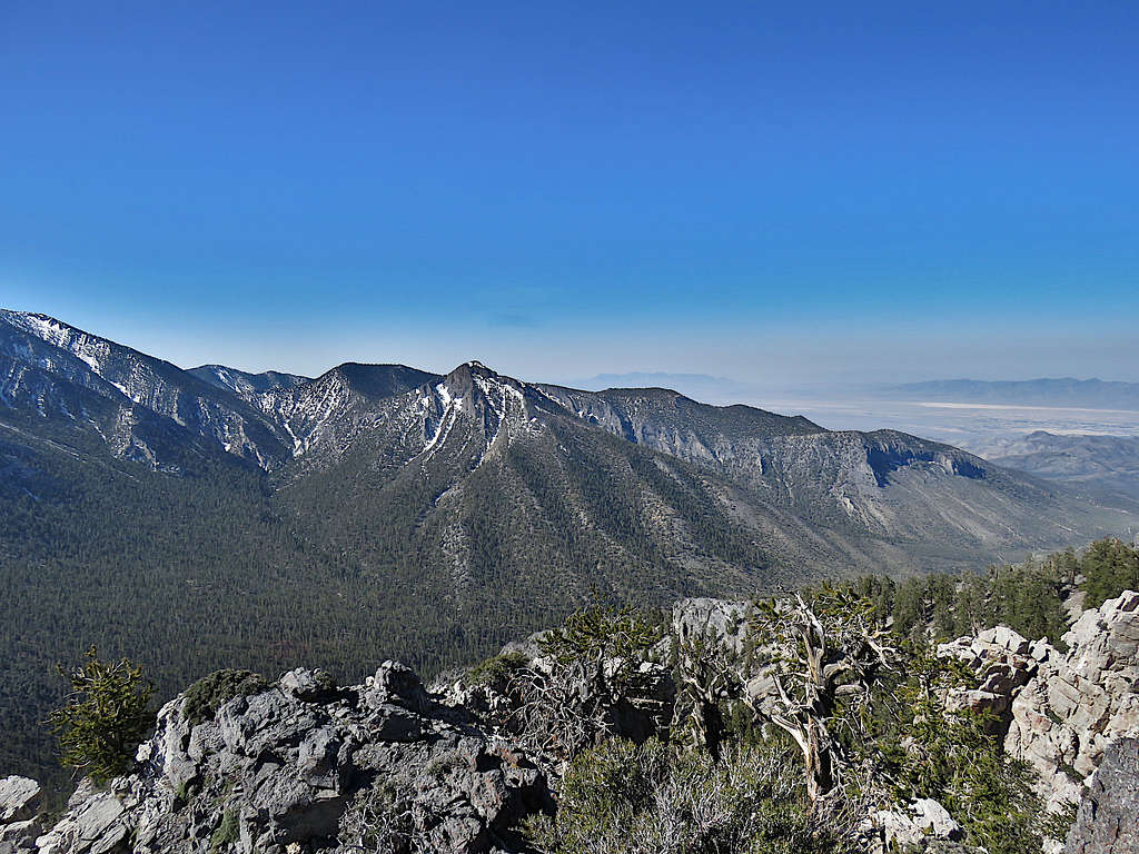
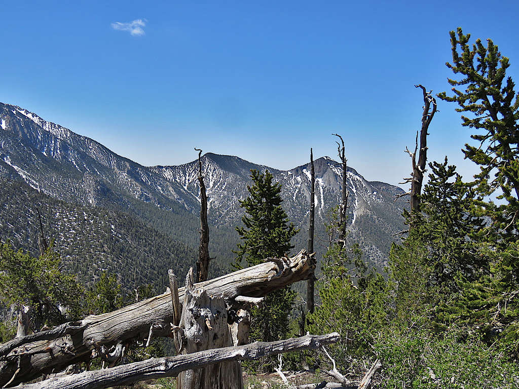
View to summit of Amargosa Overlook.
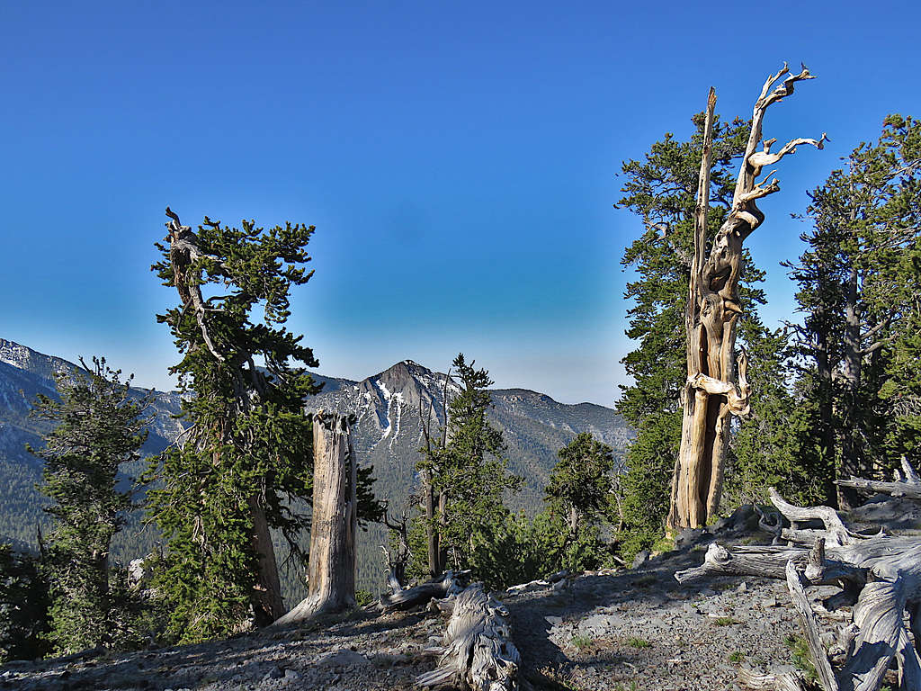
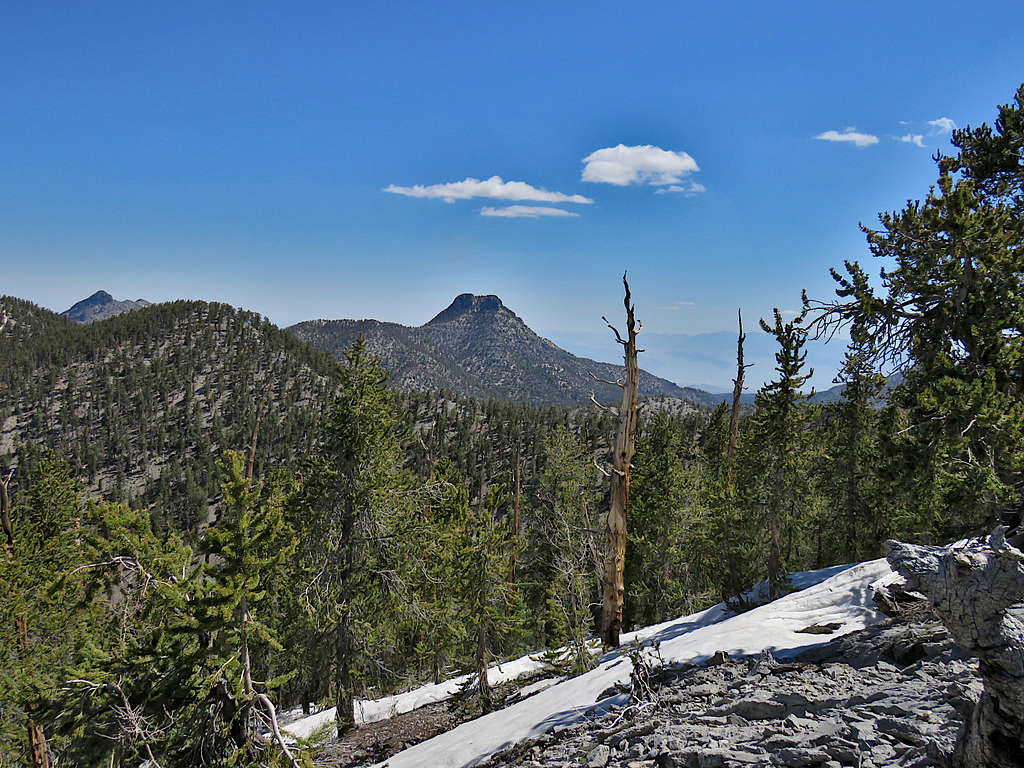
Clinton Peak.
Bristlecones.
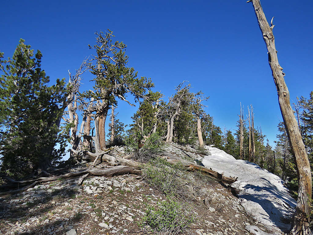
Reached the summit at 8:45 AM and 3.55 miles of hiking. What a view!
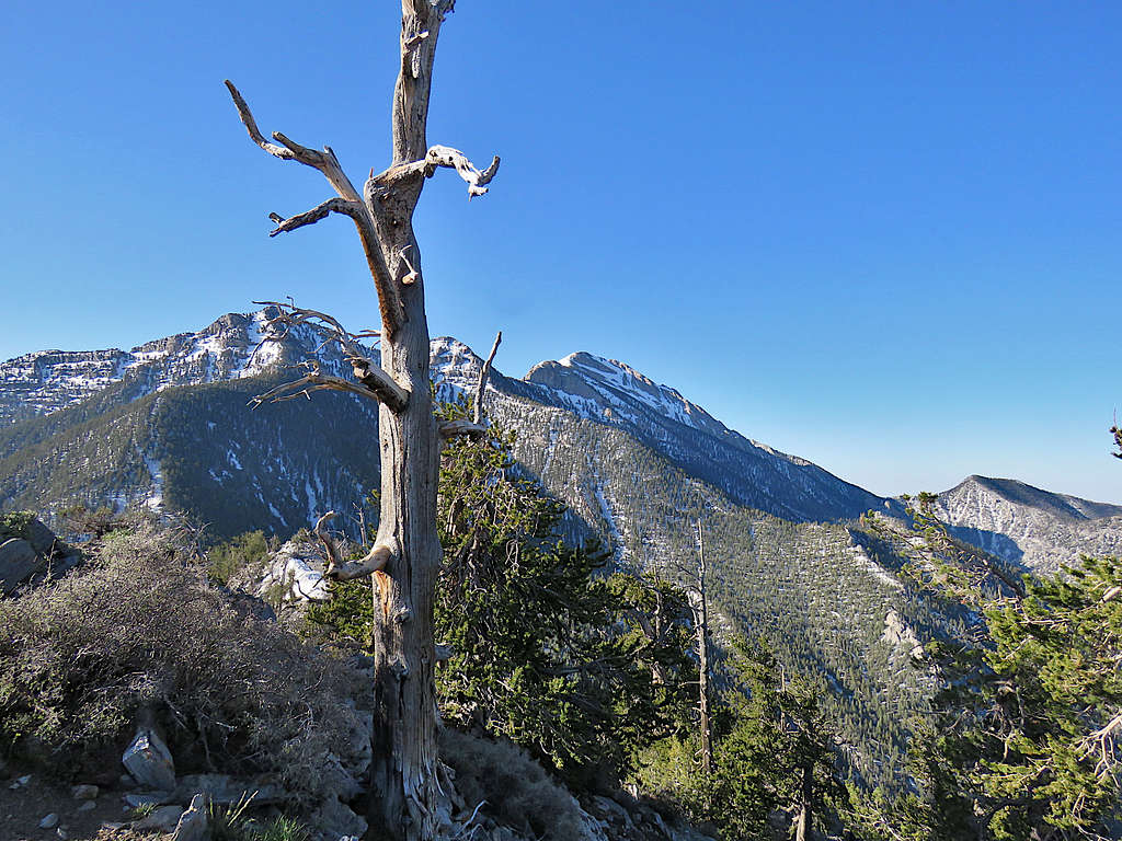
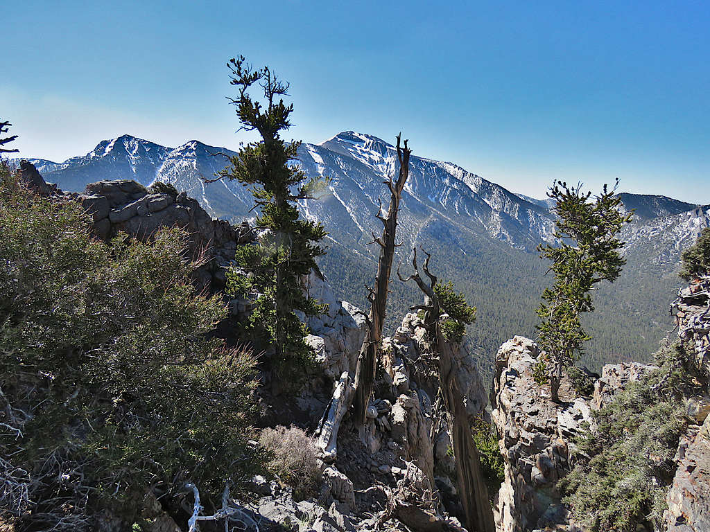
Charleston and Lee Peaks.
Clinton Peak and Mount Reagan.
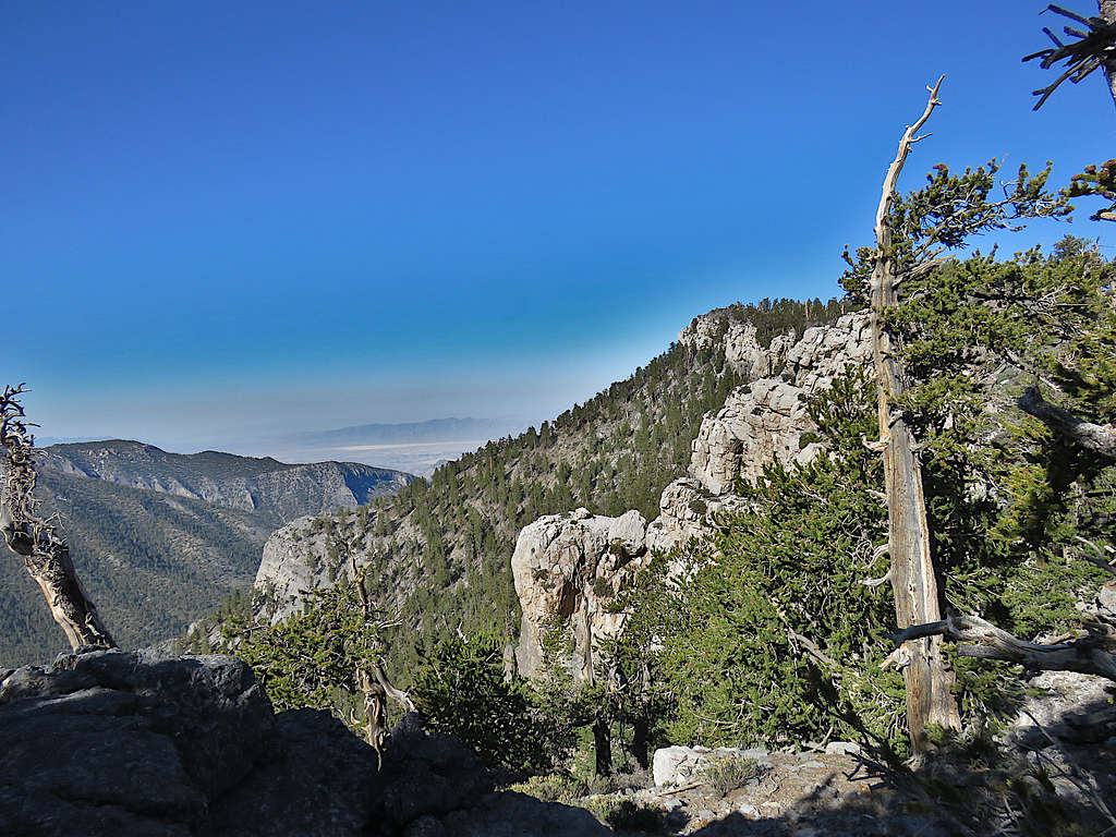
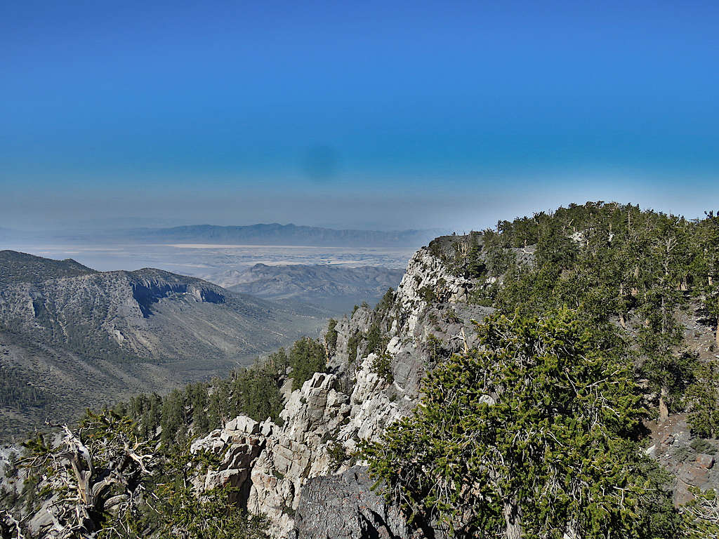
Town of Pahrump, Nevada.
Mummy Mountain. Point 10010 ft, where I came from, in front of it.
After eating and enjoying the summit, I left at 9:10 AM retracing the path I had come. The weather was very pleasant. My favorite mountain bird, Hermit Thrush, could be heard in the background. Loved those bristlecones.
McFarland Peak again.
Charleston Peak from the ridgetop.
Mummy Mountain and Lee Peak.
Clinton Peak and Mt. Reagan.
South Sister Peak.
Hiking up the ridgetop to reach the summit of Point 10010 ft.
Was on the top of Point 10010 ft at 10:24 AM and 5.16 miles. McFarland Peak.
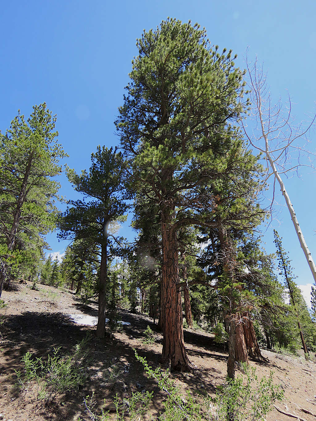
After a short rest, began to go down the slopes until I reached the 9720 ft saddle where I ran into 2 groups of people. Continued down the trail until I was on Upper Bristlecone Trail. A beautiful tall Ponderosa Pine.
Hiking down Upper Bristlecone Trail.
As I got close to the trailhead, I kept running into people walking up the trail. Was back at my car at 11:45 AM. The trailhead was crowded. The big gang of motorcycles was making very loud annoying noise.
Red Tape
No fees or permits.