
|
|
Mountain/Rock |
|---|---|
|
|
36.17350°N / 115.53629°W |
|
|
Clark |
|
|
Scrambling |
|
|
Spring, Fall |
|
|
7887 ft / 2404 m |
|
|
Overview
This is a challenging limestone peak located in the Red Rock NCA near the Willow Springs area. After leaving the parking area at the end of the pavement and starting up the Rocky Gap road for about a mile, you head cross country through the Rainbow Wilderness gaining about 3,800’ on your way to the highest point of Snoopy.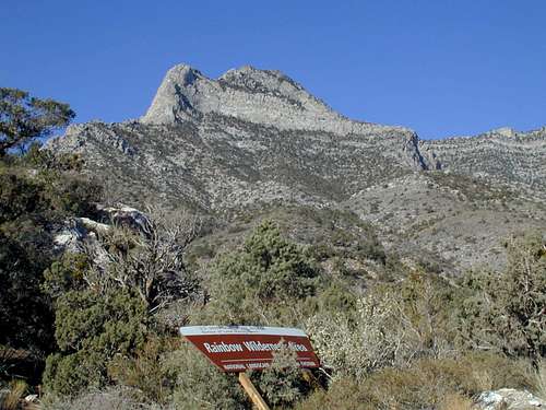
Rainbow Wilderness
Getting There
In Las Vegas, from Charleston Blvd and the 215 Beltway in the western part of town, take Charleston Blvd. (Highway 159) west for about 5 miles until you reach the entrance to Red Rock Canyon NCA. Once inside the park, follow the 13 mile loop road for about 7 miles to the Willow Springs trailhead parking area. You should allow about 30 minutes driving time from the strip to the entrance station.Red Tape
National Park entrance fees apply in Red Rock National Conservation area. Hours of operations vary by season. See Red Rock NCA Home PageCamping
There is a campground located south of SR159 two miles east of the entrance to RRCNCA. There is no developed campground within Red Rock NCA, although backcountry camping with a permit is allowed.Route Description
I parked at the end of the pavement near the Willow Springs picnic area. If you have a high clearance vehicle, you could drive partway up the Rocky Gap road to the start of the off road portion of the climb where there is a small parking spot with GPS coordinates of N 36 10’ 01.1” W 115 30’ 37.3”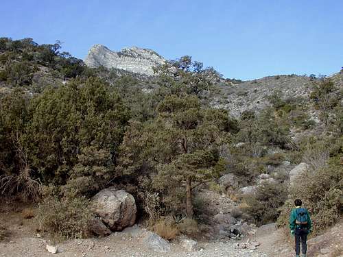
Start of offtrail
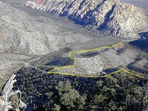
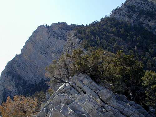
Route overview (pun intended)
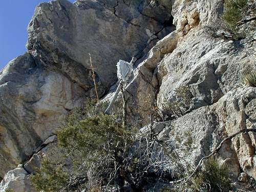
Ax Handle near break in cliffs
Once you attain the top of the cliff band,
Top of ridge
As you reach these summit block cliffs, start down and around them on the left side staying close to their base. There is a gully of white rock near the top that you will need to descend while looking for an
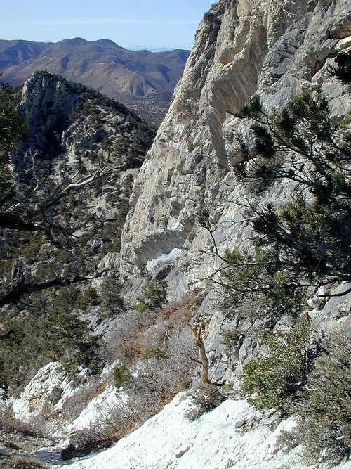
White rock gully
I placed a cairn at that point and highly recommend climbing up at this point because if you continue descending, you will end up in thick, almost impenetrable, brush in addition to having to regain even more elevation loss.
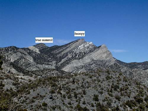
When you have attained the top of this cliff band, it is an easy climb up to the first summit. This summit has great views down the route you have traveled, but there are two more summits to go.
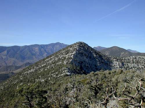
View from SE
Final summit
There are several options for your return trip, but I suggest retracing your route. Another option is to head back to a saddle near where you climbed up onto the final summit ridge. From that saddle, you can fight your way down a canyon that is very brushy and contains a couple of difficult falls along the way. Both of these falls are best passed on your right as you head down and will test your ability to locate a safe descent. The lower one is very interesting as the entire very steep hillside along the falls is damp and muddy. When you reach the base of this lower falls there is a nice stream flowing from springs which you will follow until you reach the road. For those who enjoy bush whacking in the desert, this route can be used to climb Snoopy, but I wouldn’t suggest it with the current thickness of brush.
MoapaPk - Nov 24, 2009 1:25 pm - Voted 10/10
14 or 7 miles RT?The loop I took came out to be 6.8 miles RT. I parked about 0.3 miles from Willow Springs pavement.
jimegan - Nov 30, 2009 10:03 pm - Hasn't voted
Re: 14 or 7 miles RT?Looking at your topo, I agree that 7 miles RT looks about right...it only felt like 14 (probably due to all the course changes to avoid cactus and agave!)