
|
|
Mountain/Rock |
|---|---|
|
|
36.08580°N / 115.49575°W |
|
|
Clark |
|
|
Bouldering |
|
|
Spring, Fall, Winter |
|
|
5970 ft / 1820 m |
|
|
Overview
This climb starts at the First Creek trailhead on highway 159 and follows First Creek up canyon between Mt Wilson and Indecision Peak. As you approach the mouth of the canyon, the summit block can be seen with its distinctive brown knob sometimes referred to as the Hershey Kiss peak.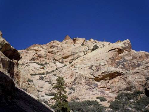
Hershey Kiss summit
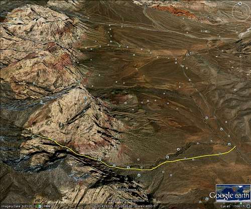
Route on Google
Getting There
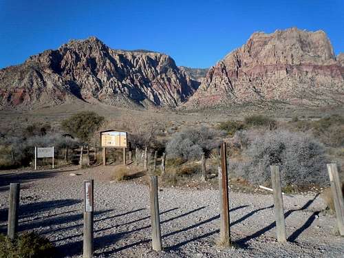
trailhead to First Creek Canyon
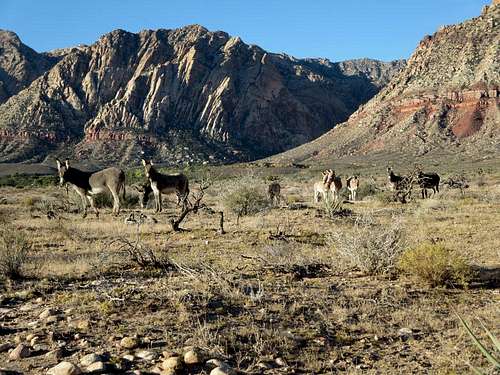
Wild burrows near trailhead
Red Tape
While this peak is located in Red Rock National Conservation area, there are no requirements for an entrance permit in this portion of the NCA. See Red Rock NCA Home PageCamping
There is a campground located south of SR159 two miles east of the entrance to RRCNCA. There is no developed campground within Red Rock NCA, although backcountry camping with a permit is allowed.Route Description
From the trailhead parking area, start hiking toward the mouth of the canyon following the well worn trail across the desert. As you come to forks, generally follow those on the left and try to avoid entering the wash too early. Staying on trails that enter the canyon on the left side above the base of the wash and the trees is best. After about 2 miles the trail will be forced into the wash and the bouldering challenges will begin.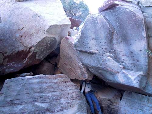
tunnel near dead pine
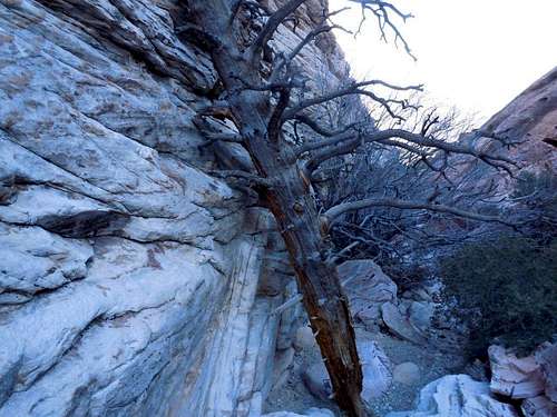
dead pine near junction of routes
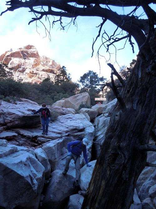
route upcanyon by dead pine
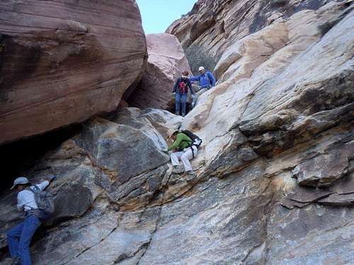
dry fall challenge
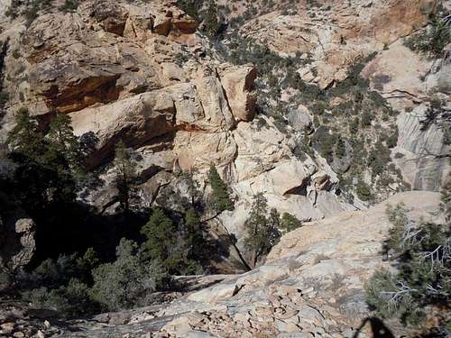
waterfall below summit heading NW
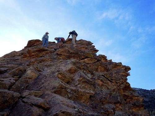
summit scramble