
|
|
Route |
|---|---|
|
|
35.98704°N / 82.78566°W |
|
|
Hiking |
|
|
A long day |
|
|
Overview
From Allen Gap on the border of Tennessee and North Carolina, one can follow the historic Appalachian Trail northbound to the summit of Camp Creek Bald.Getting There
From Greeneville, TN: From the intersection of S Main St and W Summer St in downtown Greeneville, TN, head southwest on S Main for 1.2 miles. Turn left onto TN-70 S (locally known as the Asheville Highway) and follow to the state boundary with North Carolina at Allen Gap. There is not much parking here, but one spot can be found adjacent to the US Forest Service sign which marks the boundaries of Cherokee and Pisgah National Forests.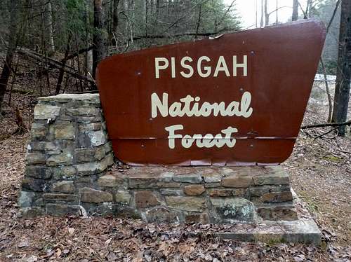
Forest Service Sign
From Hot Springs, NC: From the intersection of US-70 and Spring Street in downtown Hot Springs, NC head northeast on US-25 S/US-70 E/Bridge St for 5 miles. Turn left onto NC-208 N and follow for 9 miles to Allen Gap.
Route Description
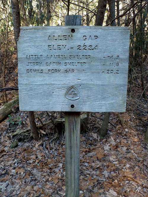
Allen Gap Trailhead Sign
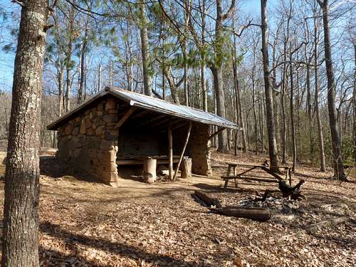
Little Laurel Shelter