The Ptarmigan Tunnel
Layout designed for best viewing on a "1024 x 768" screen.
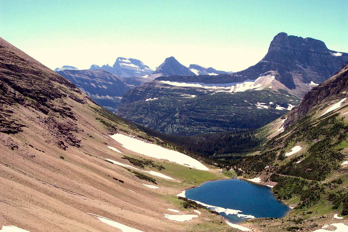
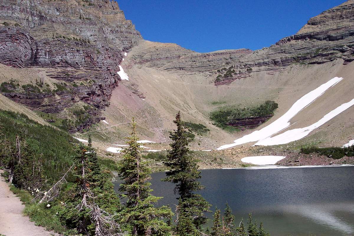
At the top of the Ptarmigan Creek, above Ptarmigan Lake and below the Ptarmigan Wall lies the Ptarmigan Tunnel, the only tunnel in Glacier National Park.
In 2010 Glacier National Park will be celebrating its 100 year anniversary. I believe it is fitting to take a look back and celebrate the work of those who have made Glacier National Park the "Crown of the Continent".
To properly pronounce (at least at Glacier National Park), "
ptarmigan" drop the "
p" in the front of the word and say "
tar-mi-gan."
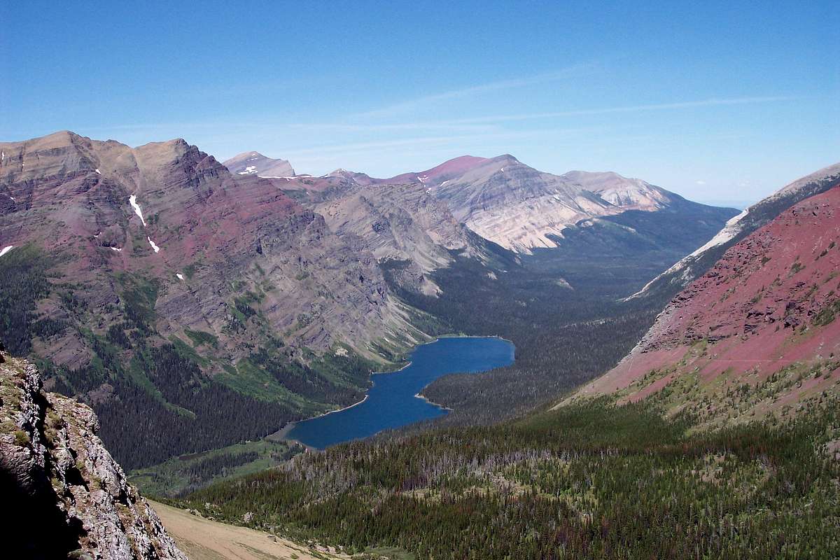
This 240 foot tunnel through nearly vertical rock on the Ptarmigan Wall allows access from the Many Glacier Valley into the Belly River Country. Before 1930 access into the Belly River was gained over Red Gap Pass or Gable Pass from the eastern border near Chief Mountain as well as along the Belly River which flows southwest from the Chief Mountain Customs station on the U.S.-Canadian Border between Glacier National Park and Waterton International Peace Park. The Belly River country could also be reached via Stoney Indian Pass from Waterton Lake or even Browns Pass above Bowman Lake.
Building the Tunnel:
![The Ptarmigan Tunnel]() The Ptarmigan Wall
The Ptarmigan Wall![The Ptarmigan Tunnel]() The Ptarmigan Tunnel
The Ptarmigan Tunnel![The Ptarmigan Tunnel]() The Ptarmigan Tunnel
The Ptarmigan Tunnel
According to the National Historical Landmark Association, “The Ptarmigan Tunnel embodies exceptional qualities of landscape architecture and engineering in a pedestrian-scaled tunnel, cut through a sheer mountain wall. The portals frame spectacular views.”
Excavation of the tunnel lasted almost three months and was directed by Westman, Ole and their crew. To construct the tunnel, platforms were blasted into the sheer rock wall on the northern side and southern sides of the Ptarmigan Wall. Jackhammers were lowered to these platforms and then used to drill from opposite sides of the proposed tunnel entrances and eventually dynamite charges were used to blast the rock out of the tunnel.
The rock that was blasted out was used to build doorway entrances, or adits, on each end of the tunnel as well as build retaining walls along the trail. This is especially true as the drop-off on the northern side of the tunnel is severe. The rock wall gives trail users a sense of security as they continue down the trail to the Belly River and Elizabeth Lake. The builders also lined the interior of the tunnel with rock.
In 1975, steel doors were added by the National Park Service to each end of the tunnel. These doors remain closed from October 1 until the opening of the trail in mid-July.
The trail and the tunnel were originally built for horses and early park tours frequently used this approach to The Belly River Country.
The Ptarmigan Wall Trail, cut largely from solid rock and expensive to build, negated the need to travel the "much longer and less scenic" Red Gap Pass Trail.
This trail is one of the most frequently traveled in the park and is wide, even, and contains numerous log or rock water bars arranged in series and often paired with lateral drains to mitigate erosion. Dry-laid stone walls line the outside of exposed trail sections. The trail then drops to Ptarmigan Lake before proceeding to the south portal of the tunnel puncturing the Ptarmigan Wall, first by a long traverse across shale and then by switchback, occasionally cut through rock.
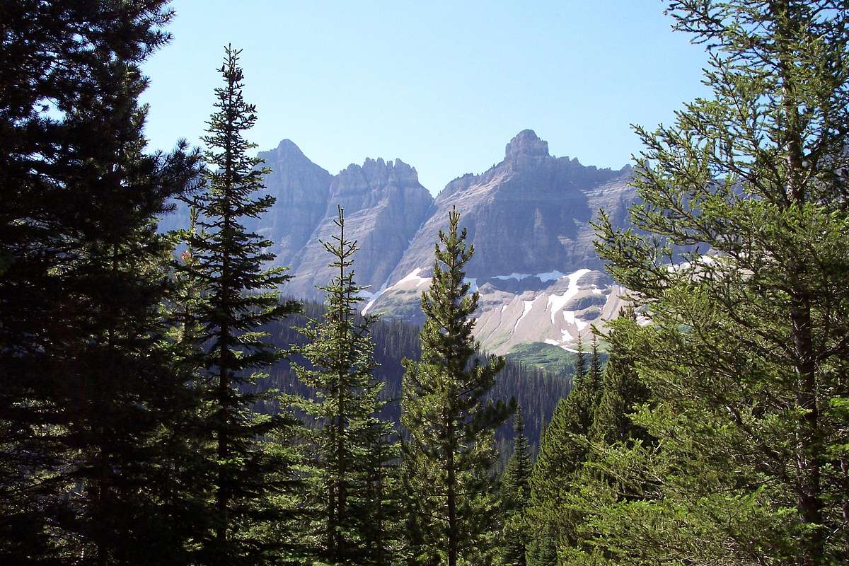
A passing trail, with mortared stone walls, is located at the beginning of the first leg of the south-side switchback. Views from the north portal include Elizabeth Lake, Mount Merritt, the Belly River Valley, Gable Mt, Mount Seward, and the Alberta Plains.
The trail along the north face of the wall "involved the heaviest construction on any trail constructed to date [1931] in Glacier National Park." Construction crews, aided by dynamite and compressor-run jackhammers, cut trail from the wall's vertical north slope. The mortared stone walls that protect travelers from the sheer exposure are constructed of rock slabs released during trail construction and are two feet wide. The tread averages four feet in width and the cliff wall is concave, allowing for passage of loaded pack animals.
The tunnel and associated parapet wall are listed in the National Register of Historic Places.
|
For a video view of The Ptarmigan Tunnel and the surrounding areas follow this
YOUTUBE VIDEO link.
Getting There:
![The Ptarmigan Tunnel]() The Ptarmigan Trail
The Ptarmigan Trail![The Ptarmigan Tunnel]() The Ptarmigan Trail
The Ptarmigan Trail
The Ptarmigan Tunnel is located in the Many Glacier Valley in Glacier National Park. The trail takes off from behind the Sherburne Motor Inn. Call the Glacier National Park Headquarters in advance to check on trail conditions and closures.
The trail from the Sherburne Motor Lodge to Ptarmigan Tunnel is 5.3 miles one way and gains some 2,300 feet in elevation. Passing below the grass covered western slopes of Mount Henkel and spectacular views of the Swiftcurrent Valley and incredible Mount Wilber and its class 4 routes to its summit. This trail also leads to Iceberg Lake which is frequently closed due to bear danger. Ptarmigan Falls which is crossed along the trail which present enjoyable diversions for lunch and photo opportunities.
Beyond the falls lies the junction of the trail to Iceberg Lake and the Ptarmigan Lake trail.
The Ptarmigan Tunnel Tragedy
In early July, a woman lost her life falling over the parapet north of Ptarmigan Tunnel. The accident was one of the most freakish in the history of Glacier Park.
Connie Lindsay, 47, of Polson, Montana had ridden to the tunnel from Many Glacier. She was accompanied by her husband and two companions, also on horseback. They led their horses through the tunnel and remained dismounted to view the scenery on the other side.
Lindsay stopped to take a picture some 25 yards from the tunnel gates. She was standing beside low stone parapet (which is less than three feet high) overlooking hundreds of feet of sheer cliffs.
Lindsay's horse was standing beside her, eating snow from a snowbank. The horse abruptly jerked and stumbled, perhaps reacting to the coldness of the snow. It knocked Lindsay onto the retaining wall, then lost its footing and fell on top of her. Horse and rider both rolled over the wall and fell for hundreds of feet.
Lindsay's husband rode to Many Glacier to get help. Rangers helicoptered to an area below the cliffs. They climbed up dangerous pitches of scree and snow to recover Lindsay's body from a chimney in the rocks.
The Glacier Park Foundation carried a tragic story about an accident at The Ptarmigan Tunnel in their Fall 1998 publication, The Inside Trail. This story takes on a more immediate reality when standing at the northern adit of the Ptarmigan and looking over the edge of the rock retaining wall. That is a long way down there. Imagine the horror that this family must have experienced during this tragedy. It also hits home and become more of a reality when I visited with a colleague who was a member of the recovery team.
|
Ptarmigan Creek, Ptarmigan Wall, Ptarmigan Lake and Ptarmigan Tunnel: So What Is A Ptarmigan?
![Ptarmigan]() Ptarmigan, echoguy photo
Ptarmigan, echoguy photo
A ptarmigan is a bird that lives in alpine areas of Glacier National Park. They have been seen on approaches to mountains in the sub-alpine areas as well as on the summits of mountains. They prefer to eat plants but will also eat insects if they are available. The most unique trait that a ptarmigan has is that it moults in the spring and has brown feathers. What makes this bird unique is that in the fall its feathers begin to change back to white for the winter months.
In the spring male ptarmigans mate with only 1 female at a time and stays with her and guard the nest until the chicks are born 3 weeks after the eggs are laid. The female, or hen, raises the chicks on her own. In one week they are able to fly short distances and by October they are independent and the same size of their parents.
Sources:
Historic Registry
Inside The The Trail


Comments
Post a Comment