
|
|
Route |
|---|---|
|
|
45.83355°N / 11.14992°E |
|
|
Mixed |
|
|
Half a day |
|
|
Overview
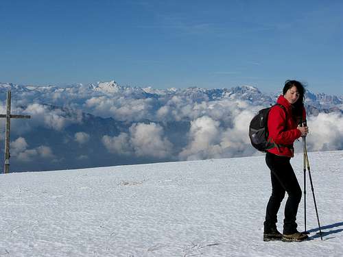
Located north of massive Pasubio, Col Santo rises round over 2,000 metres. From the top, where a big wooden Cross is placed, you can enjoy an excellent view to 360 °.Col Santo 2112m belongs to the North- east ridge of the Pasubio group.
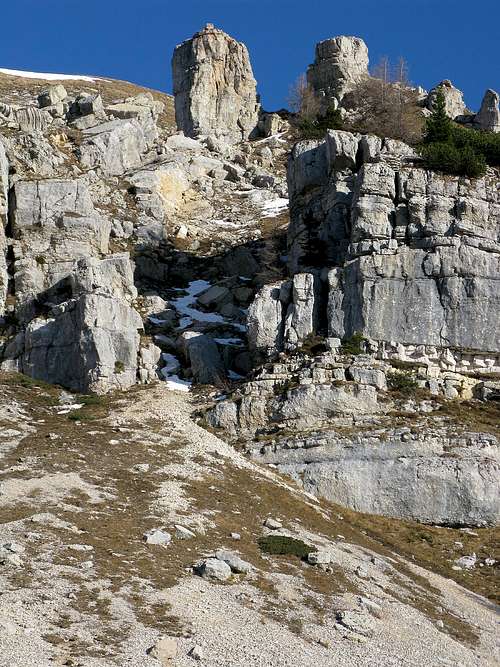
View of the North side of Col Santo with chamois
Getting There
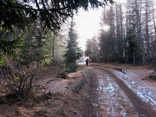
From Rovereto ( Trento) drive along SS. n° 46 Pasubio road, this is the natural access to the Vallarsa Valley, then after the S.Colombano bridge go left anf take the SP. n° 50 for trambileno to Giazzera village: the start for the excursions.Route Description
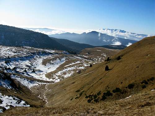
The trailhead at Col Santo summit can be reached from Giazzera village. We will walk until the path SAT 132 found on the left called " trail ull".Then you cross the prairies of Monte Pazul and then the the Path SAT 131 until the summit.
Start altitude: 1092m
Summit altitude: 2112m
Type: 3 h along path
Effort: 1020m of altitude gain
Power: 1 - hike
|
Essential Gear
Hiking gear is sufficient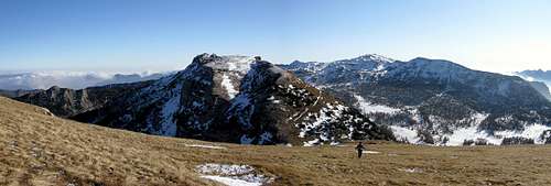
Descending the South side of Col Santo.
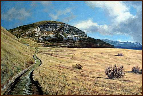
Col Santo and Alpe Alba - oil on canvas by Tiziana