-
 3922 Hits
-
 70.59% Score
-
 1 Votes
|
|
Mountain/Rock |
|---|---|
|
|
38.69324°N / 111.38048°W |
|
|
Sevier |
|
|
Hiking |
|
|
Spring |
|
|
8408 ft / 2563 m |
|
|
Overview
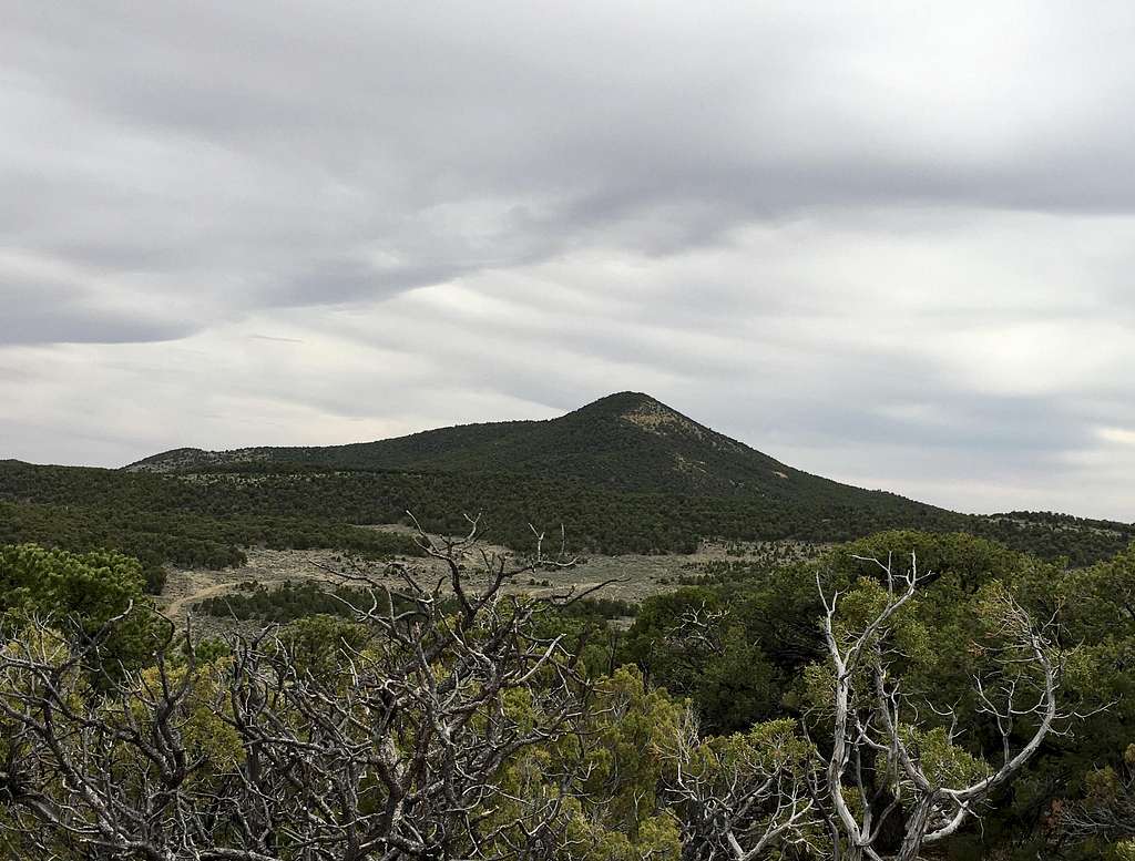
Deer Peak is an old volcanic cone now cover in juniper on the eastern edge of the region of ancient volcanic activity in and around Fishlake. It offers an interesting vantage point to see much of the western edge of red rock country in Utah from Capitol Reef in the south to the San Rafael Swell in the north.

Getting There
5.1 miles south of I-70 on Utah Highway 72. Drive 0.5 miles East on the dirt road to the 3rd fork in the road, which should be on the South side of the peak.
Route
From the stopping point next to where the fences converge, walk straight toward the summit. The trees and vegetation are spread out well enough to provide fairly easy passage. Be careful with the cryptobiotic soil crusts.
Round-trip Distance: 1.1 miles
Elevation Gain: 610 feet
Red Tape
The peak is on land managed by the BLM. No red tape.
When to Climb
Year-round.
Camping
There are some pull outs in the area that may serve as primitive camping sites. Otherwise, you'll have to travel south 20 miles to Elkhorn, Sunglow Campgrounds.

