-
 8955 Hits
-
 72.08% Score
-
 2 Votes
|
|
Mountain/Rock |
|---|---|
|
|
38.51979°N / 111.48187°W |
|
|
Sevier |
|
|
Hiking |
|
|
Spring, Summer, Fall, Winter |
|
|
10597 ft / 3230 m |
|
|
Overview
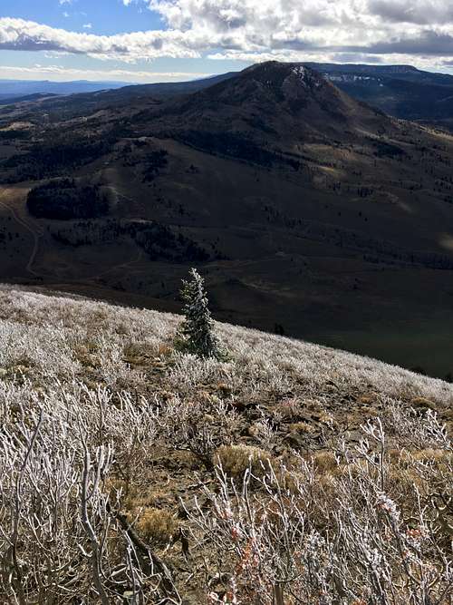
The northernmost 10,000-foot mountain overlooking Capitol Reef National Park, Geyser Peak rises 4,000 feet above the deserts to the east. Forest fires destroyed much of the forest that capped the peak but young aspen are beginning the comeback of the woods. From the summit, the Tushar Mountains, Sevier Plateau, Wasatch Plateau, Henry Mountains, La Sal Mountains, and Abajo Mountains are visible.Getting There
The dirt road (FR206) starts on UT-72 17.3 miles north of Loa, 24 miles south of I-70. Travel on a well-maintained dirt road for 3.1 miles. Take a left onto FR212 and continue one for 0.3 miles until a cattle guard and fence are encountered. Park here.Route
Hike on the left side of the fence toward the north-northwest until it stops at a bottom of a large red rock outcropping. Meander and scramble onto the ridge above and follow for several hundred feet. Continue straight west from here through the burnt forest and young aspen.Round-trip Distance: 1.7 miles
Elevation Gain: 1026 feet


