-
 7950 Hits
-
 85.22% Score
-
 20 Votes
|
|
Area/Range |
|---|---|
|
|
46.26758°N / 9.75137°E |
|
|
Mountaineering, Trad Climbing, Ice Climbing, Mixed, Scrambling, Skiing |
|
|
Spring, Summer |
|
|
12067 ft / 3678 m |
|
|
Overview
What's New on this Page?
* Jan 6, 2023 - Ownership switched by Antonio Giani
* Jan 6, 2023 - Page under review
* Jan 9, 2023 - Overhaul of the page
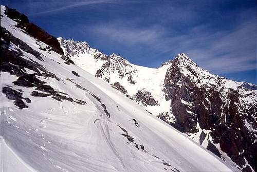
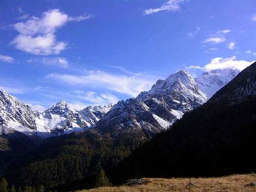
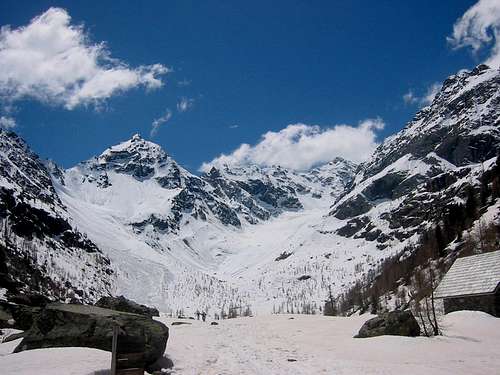
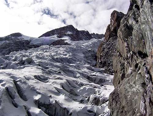
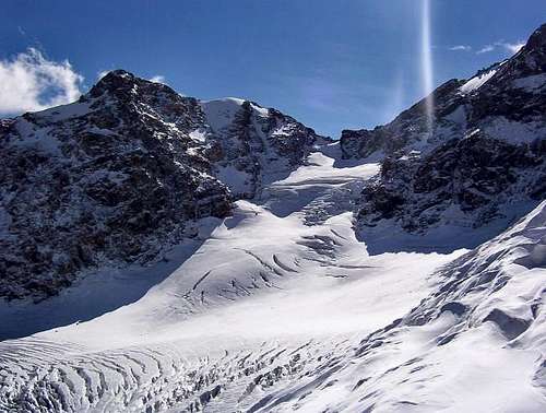
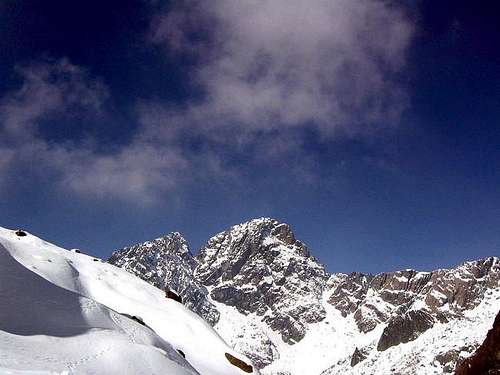
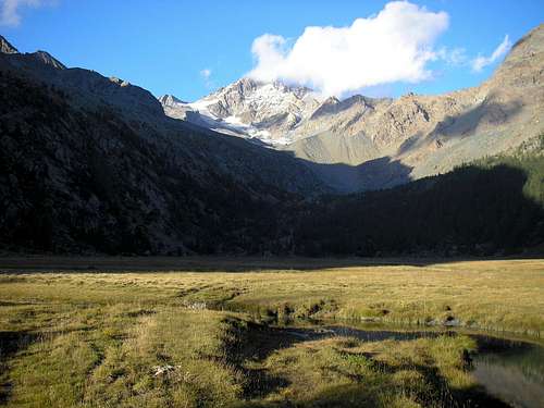
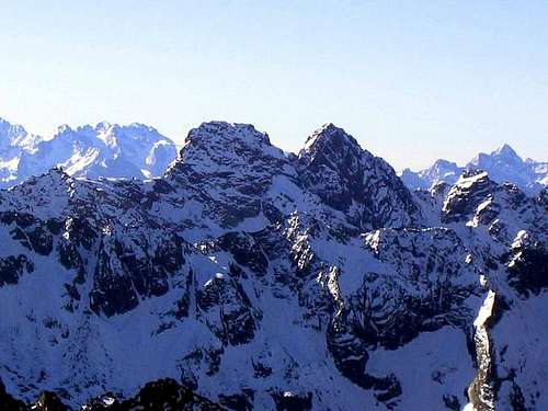
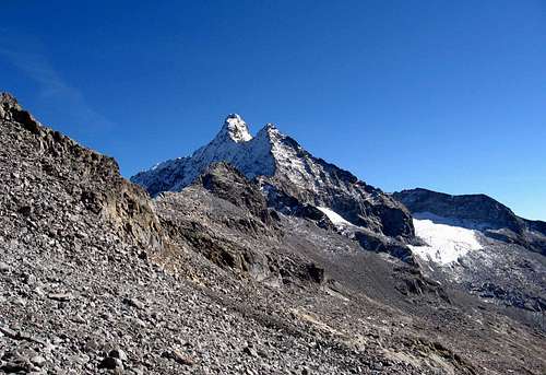
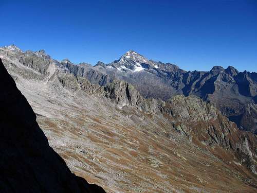
This small mountain group, part of the Rhaetian Alps, takes its name from the highest mountain part of it, the Monte Disgrazia. Although small and with a limited number of peaks, this group from the geological and geographic point of is quite different from the proper group Val Masino/Bergell, recognizable in reason of its famous high quality granite. In fact the Disgrazia group with all the ramifications is too distant and too different in geological composition to be part of it. So, with the name Disgrazia Group it's indicated the whole complex of peaks amongst the Val Masino (West), the Valtellina (South) and the Valmalenco (North-East). The limit for the North-West side is the Passo di Mello (2.992m), which is the lower elevation and wherefrom the Val Masino Alps begin. Monte Disgrazia is composed of 4 main ridges, which are divided into several branches, including many smaller peaks and glaciers.
North ridge
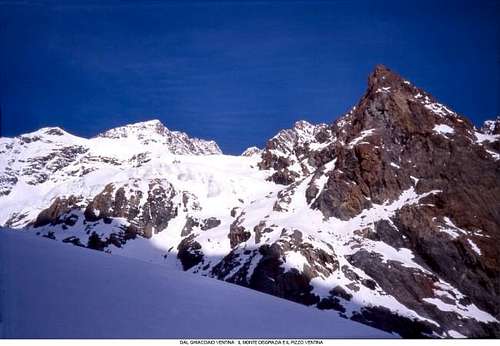
The most charming of the group. It is placed between the Disgrazia Glacier and the Glacier of Ventina. It has 2 more branches in the east side, that enclose the small "glacier della Vergine". The upper part of the ridge hosts the famous route" Corda Molla". Main summits:
- Punta Kennedy (3.283m)
- Pizzo Ventina (3.261m)
East ridge
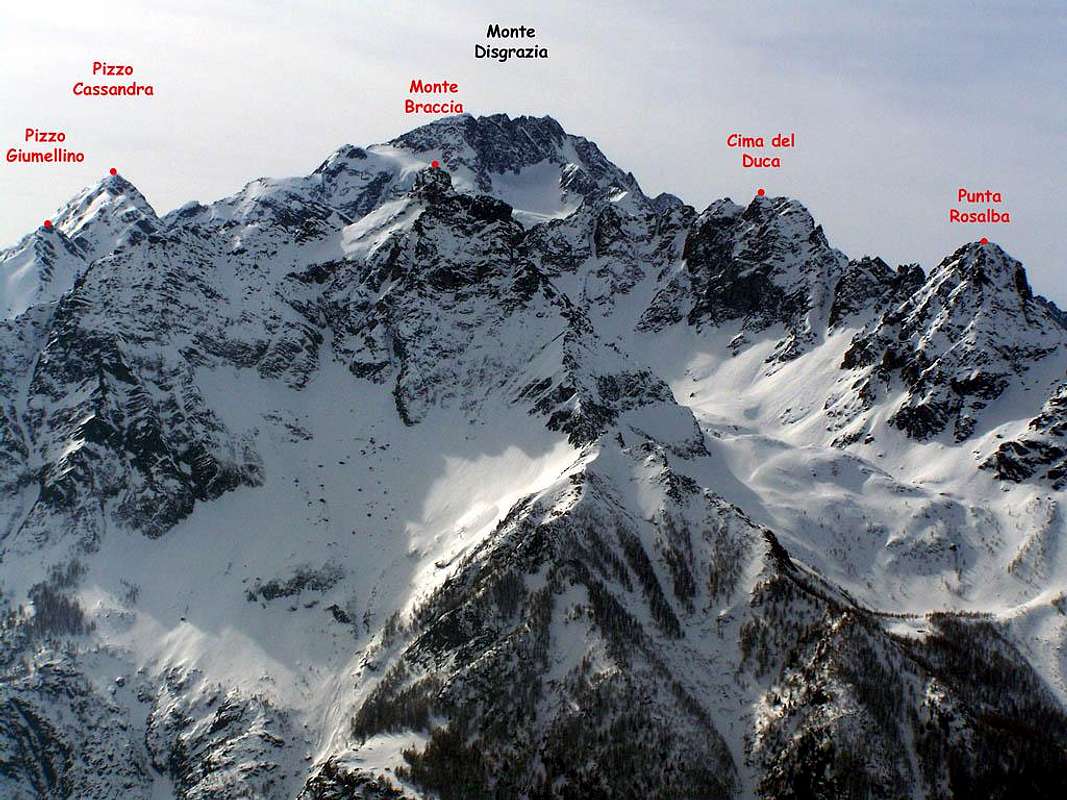
The crest developes southeast and then bend toward northeast. Its northern side surrounds the glacier of Ventina, while its southern side is now almost completely devoid of ice, facing the Valtellina with large rocky cliffs. It is the largest part of the group, and with the most mountaineering interests. Main summits:
- Pizzo Cassandra (3.226m)
- Punta Giumellino (3.094m)
- Cima Sassera (2.977m)
- Pizzo Rachele (2.998m)
- Cima del Duca (2.968m)
South ridge
This side of the group is very wild and not very popular, especially for the bad quality rocks. It overhangs the Valtellina and divides the valley of Airale from the Valley of Predarossa. The "Cornarossa" pass (2.836m), that connects the two valleys, is the transit point of the "Sentiero Italia". Main summits:
- Cima di Cornarossa (3.180m)
- Corni Bruciati (3.114m)
West ridge
This section covers the entire west side of the group. It begins as a single ridge that descends from the summit of Monte Disgrazia, untill the Monte Pioda. From here the ridge is divided in the shape of a Y. The northwestern branch takes shortly to Passo di Mello, and then to Monte Sissone, and it divides the Valmalenco from the Valmasino. While the southwest branch, is composed by a long ridge between the Valmasino and Predarossa Valley, culminating with the Summit of Arcanzo. It isn't commonly climbed, and crossed only by Bocchetta Roma (2.898m). Main summits:
- Monte Pioda (3.431m)
- Punta della Remoluzza (2.814m)
- Punta dell'Averta (2.853m)
- Cima d'Arcanzo (2.714m)
Red Tape
No fees no permits required
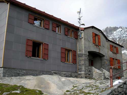
Huts and other accomodation
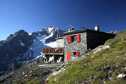
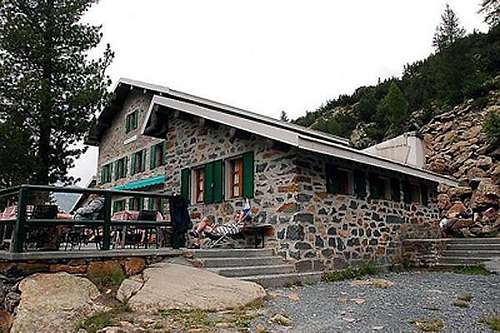
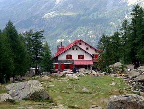
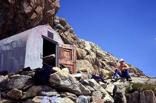
- Ref. GERLI PORRO (E) Alpe Ventina (1.965m) tel. 0342/451404. From Chiareggio 1h'30 hours
- Ref. BOSIO (E) Alpe Airale (2.089m) tel. 0342/451655. From Ciappanico 2h'00
- Ref. DEL GRANDE CAMERINI (E) Cresta di Vazzeda (2.660m) tel.0342/556010. From Chiareggio 2h'30
- Ref. PONTI (E) Alpe Preda Rossa (2.559m), places 85 Tel. 0342-640138. From Piano di Preda Rossa 2h'00
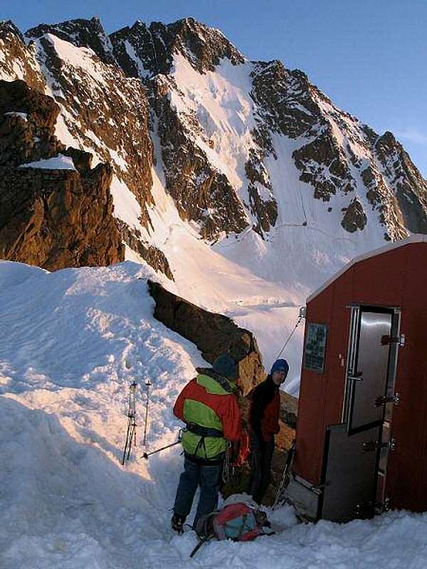
- Biv. TAVEGGIA (F) Sentinella della Vergina (2.894m). From ref. Porro 3h'00/4h'00
- Biv. OGGIONI (PD) Colletto Disgrazia (3.151m). From biv. Taveggia in 1h'30
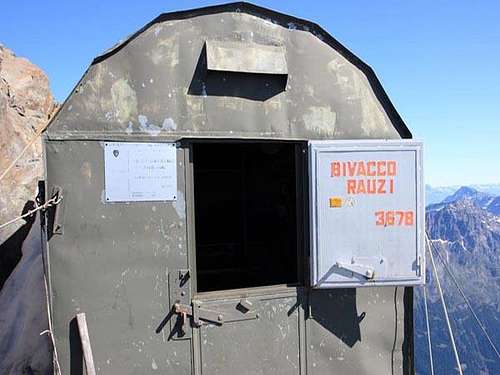
- Biv. RAUZI (AD+) Cima Disgrazia (3.640m). From biv. Oggioni in 5h'00/7h'00
- Biv. ODELLO GRANDORI (PD/E) Passo di Mello (2.992m). From Chiareggio in 4h'00/5h'00 or from Mello in 5h'00
- Biv. KIMA (E) Head od Val di Mello (2.700m). From Mello in 5h'00. (brand new, but placed in a not very useful position).
Mountain condition
www.aineva.it
www.waltellina.com
Meteo
Guidebooks and maps
Guidebook

“Masino – Bregaglia – Disgrazia Vol. II” by Aldo Bonacossa – Giovanni Rossi – Collana Guide dei Monti d'Italia C.A.I.-T.C.I.
Maps
- Kompass n° 92 "Bernina - Sondrio" 1:50.000
- Multigraphic “Pizzo Bernina – Monte Disgrazia”
- CNS “Monte Disgrazia” 1:50.000


