
-
 3661 Hits
-
 77.48% Score
-
 8 Votes
|
|
Route |
|---|---|
|
|
38.89320°N / 105.037°W |
|
|
Hiking |
|
|
Spring, Summer, Fall, Winter |
|
|
Half a day |
|
|
Overview
Easy trail hiking
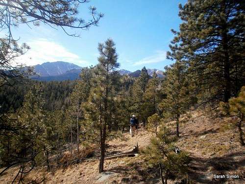
This route combines trails and use paths, plus a little bushwhacking and easy Class 2+ scampering, to reach a rocky, open summit serving up fantastic views. Successfully navigating to the summit requires a little “connect the dots” of these various paths, plus comfort with off-trail scampering, but otherwise this is a relatively straightforward outing.
Roundtrip Distance: 5.5 miles
NET Elevation Gain: 1,700 feet
YDS Class: 2+
Bushwhack Rating: B1Getting There
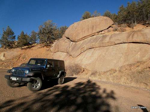
Parking area
Travel Hwy 24 westbound from Colorado Springs.
From the Pikes Peak Toll Road gate, travel 3 miles to a turnout on the right side of the road near mile marker 4.
From the Pikes Peak Toll Road gate, travel 3 miles to a turnout on the right side of the road near mile marker 4.
(The gate is about 1 mile from the start of the Toll Road at Hwy 24).
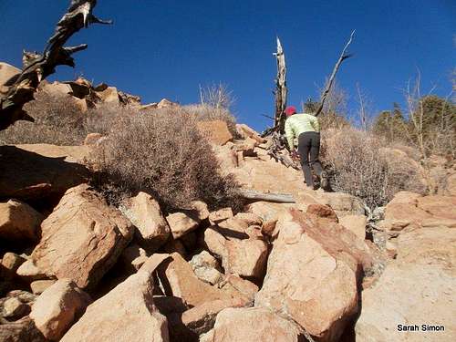
Note: You will pass the Crow Gulch Picnic Area / Trailhead to reach this unmarked gravel parking area, which has space for numerous vehicles.![Easy scampering]()
Easy scampering to the summit
![Rocks and brush]()
Rocks and brush•Map & compass and/or GPS
•Comfortable hiking boots or shoes
•Outerwear appropriate to the season
•Snowshoes or skis in snow season
•Water and snacks
•A camera to save memories of the high country
views
•First aid kit
•Other standard backcountry essentials
Route Description
Easy scampering to the summit
· Carefully cross the road to the southwest and begin hiking on an old road bed. You may notice in passing an old stone gatepost.
· The old trail heads first west / west-northwest up a drainage, then the drainage turns to the southwest.
· The trail seems to dead-end in this little valley, but if you look carefully, you may notice a faint footpath heading up the sandy hill. The trail in this area is not well-defined.
· Trend southward up a gentle drainage, and the trail again becomes more defined.
· Crest a gentle ridge where two social trails converge. Head to the right (south).
· The trail soon descends in a slow, traversing fashion into another drainage.
· Down in this wooded valley you will again encounter more social trails that may / may not be indicated on your map.
· Climbing out of this drainage, the footpath what appears to be a decommissioned roadbed (#331).
· Cruise briefly along a small, scenic ridge before beginning the switchbacks that take you to the southern slopes of Crystal Benchmark.
· Contour along the southern slopes of the peak for roughly one mile before selecting a spot to leave the trail and ascend the steepish southern slopes.
· Initially, you will encounter moderate bushwhacking and some rocks. Soon, the trees end and you will find yourself at the base of a rocky jumble of boulders. Ascend these (steep Class 2+)
to the summit.
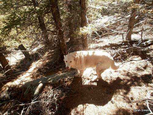 Lela on southern slopes | 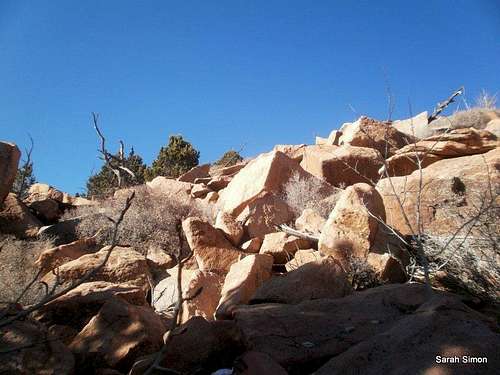 Easy summit scramble | 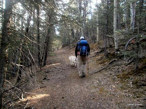 Hiking old roadbed | 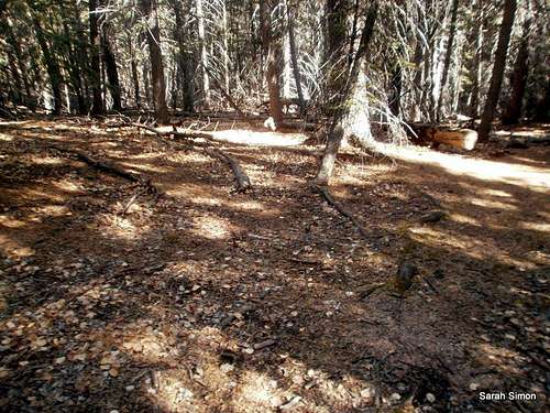 Social trail junction | 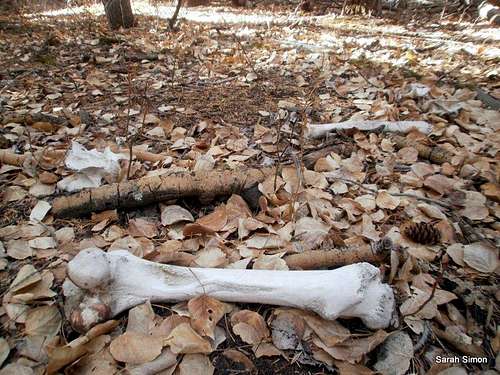 Valley boneyard |
Essential Gear

Rocks and brush
•Comfortable hiking boots or shoes
•Outerwear appropriate to the season
•Snowshoes or skis in snow season
•Water and snacks
•A camera to save memories of the high country
views
•First aid kit
•Other standard backcountry essentials