-
 7545 Hits
-
 78.66% Score
-
 10 Votes
|
|
Mountain/Rock |
|---|---|
|
|
38.89320°N / 105.037°W |
|
|
Teller |
|
|
Hiking, Scrambling |
|
|
Spring, Summer, Fall, Winter |
|
|
10504 ft / 3202 m |
|
|
Overview
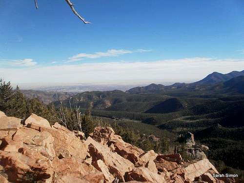
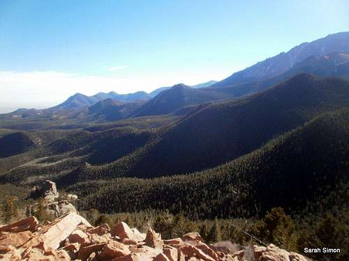
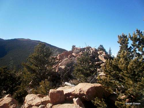
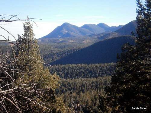
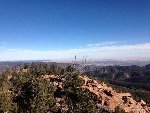
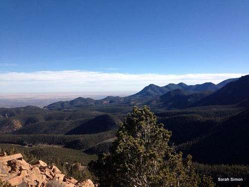
Crystal Benchmark is one of those peaks that falls far under the radar for your standard hiker. When viewed from Colorado Springs, it is indistinguishable from the rest of the Pikes Peak massif and the piles of green mountains sitting at its base. There are no trails to the summit, discouraging most hikers from visiting the top. Despite rising close to the communities of Green Mountain Falls and Chipita Park, the peak is out of sight and out of mind. It is the essential peak hunter’s mountain.Crystal Benchmark holds an amazing secret, however, and it’s this: After bushwhacking through rocks and downfall misery, the peak treats the visitor to a fun, rocky scamper topped off by incredible 360-degree views. From the top of this unheralded little peak broadside views of nearby giant Pikes Peak dominate, but there’s more: The city of Colorado Springs, Cameron Cone and neighbors, and three reservoirs (Crystal Creek Reservoir, South Catamount Reservoir & Catamount Reservoir) spread below. Enjoy this rocky perch, and drink in the views.
Rank: 2037th highest peak in Colorado
Prominence: 404 feet
USGS Quad: Woodland Park
Planning Map: Trails Illustrated #137 Pikes Peak | Cañon City or the Pikes Peak Atlas
Peak Stats: Lists of John
Getting There
From Pikes Peak Toll Road: Travel Hwy 24 westbound from Colorado Springs. From the Pikes Peak Toll Road gate, travel 3 miles to a turnout on the right side of the road near mile marker 4 (the gate is about 1 mile from the start of the Toll Road at Hwy 24).
See the detailed route description from the Toll Road attached!
Red Tape
For those driving up the Pikes Peak Toll Way, usage fees and curfews apply.
• Curfew: Generally speaking, the gates at the tollbooth close at 7:00 PM in the summer and 5:00 PM in the winter. Check the Pikes Peak Highway Website or call 719-385-Peak to check when the gates will be closed for the day you plan to visit.
• Fees: As of this writing, the fee for the Toll Road is $10.00 per adult (16 and over $5.00 per child (6 - 15) or total $35.00 per car. Cash and credit cards (Visa and Master Card) are accepted.
Camping
The National Forest Service operates three general-use campgrounds in its Manitou Park Recreation Area. The Manitou Park Recreation Area is located about 5 miles north of Woodland Park along Hwy 67. Below is information about these campgrounds as provided by the Forest Service.
• South Meadows Campground: Site has 64 camp sites with parking areas up to 30' long within the 8,000' elevation. Camping season is year round with a user fee of $15.00/per night/per site. The camp-ground has paved roads. Limited sites are reserved by calling 1-877-444-6777. Reservations may be made 240 days prior to arrival and there is a reservation fee. There is also a 2-night minimum stay if your reservation is for Friday or Saturday nights.
• Colorado Campground: Site has 81 campsites with parking areas up to 30' long within the 7800' elevation. Camping season usually begins late May and runs until early September. The user fee is $15.00 per night/per site. This campground has paved roads. Limited site reservations can be made 240 days prior to arrival by calling 1-877-444-6777. There is a reservation fee. There is also a 2-night minimum stay if your reservations are for Friday or Saturday night.
• Painted Rocks Campground: This camping area has 18 campsites with parking areas up to 30' long within the 7800' elevation. Camping season usually begins in May and runs through early September. A user fee of $13.00 per night/per site is charged. Limited sites are reserved by calling 1-877-444-6777 and can be made 240 days prior to arrival. There is a reservation fee.
Additionally, the Crags Campground sits on the western slope of Pikes Peak and provides a convenient campsite option for anyone visiting Crystal Benchmark from west. This 17-site campground sits at 10,100 feet in elevation about 8 miles south of Divide.
Here are two trip reports outlining the route from Emporia Street in Cascade.
From SP member shknbke: http://www.listsofjohn.com/PeakStats/TripReport.php?Id=128&pkid=2793
From SP member cftbq: http://www.listsofjohn.com/PeakStats/TripReport.php?Id=961&pkid=2793
Weather & Seasons
Crystal Benchmark is nearly 4,000 feet higher than the city of Colorado Springs! Still, the below table should provide some general guidance regarding the area climate. I suggest combining the results below with data on current conditions on Pikes Peak to get a general feel for what to expect weather-wise on Crystal Bencharmark.External Links
Here are two trip reports outlining the route from Emporia Street in Cascade.
From SP member shknbke: http://www.listsofjohn.com/PeakStats/TripReport.php?Id=128&pkid=2793
From SP member cftbq: http://www.listsofjohn.com/PeakStats/TripReport.php?Id=961&pkid=2793


