
|
|
Mountain/Rock |
|---|---|
|
|
34.79400°N / 115.695°W |
|
|
Mountaineering |
|
|
Fall |
|
|
6761 ft / 2061 m |
|
|
Overview
The Granite Mountains are located in the Mojave National Preserve. They are one of the four major ranges within the preserve, the others being the Providence, Clark, and New York Mountains. The rugged Granite Mountains are the lowest of the four major ranges, and don't seem to attract much attention. They are located far off the beaten path, and there are no trails or campgrounds here.
Like many desert mountains, the Granite Mountains tend to fade away into insignificance against the desert landscape. As a result of these factors, it appears that few people visit the Granite Mountains. However, the University of California at Riverside does maintain the Sweeney Granite Mountains Desert Research Center in the Granite Mountains.
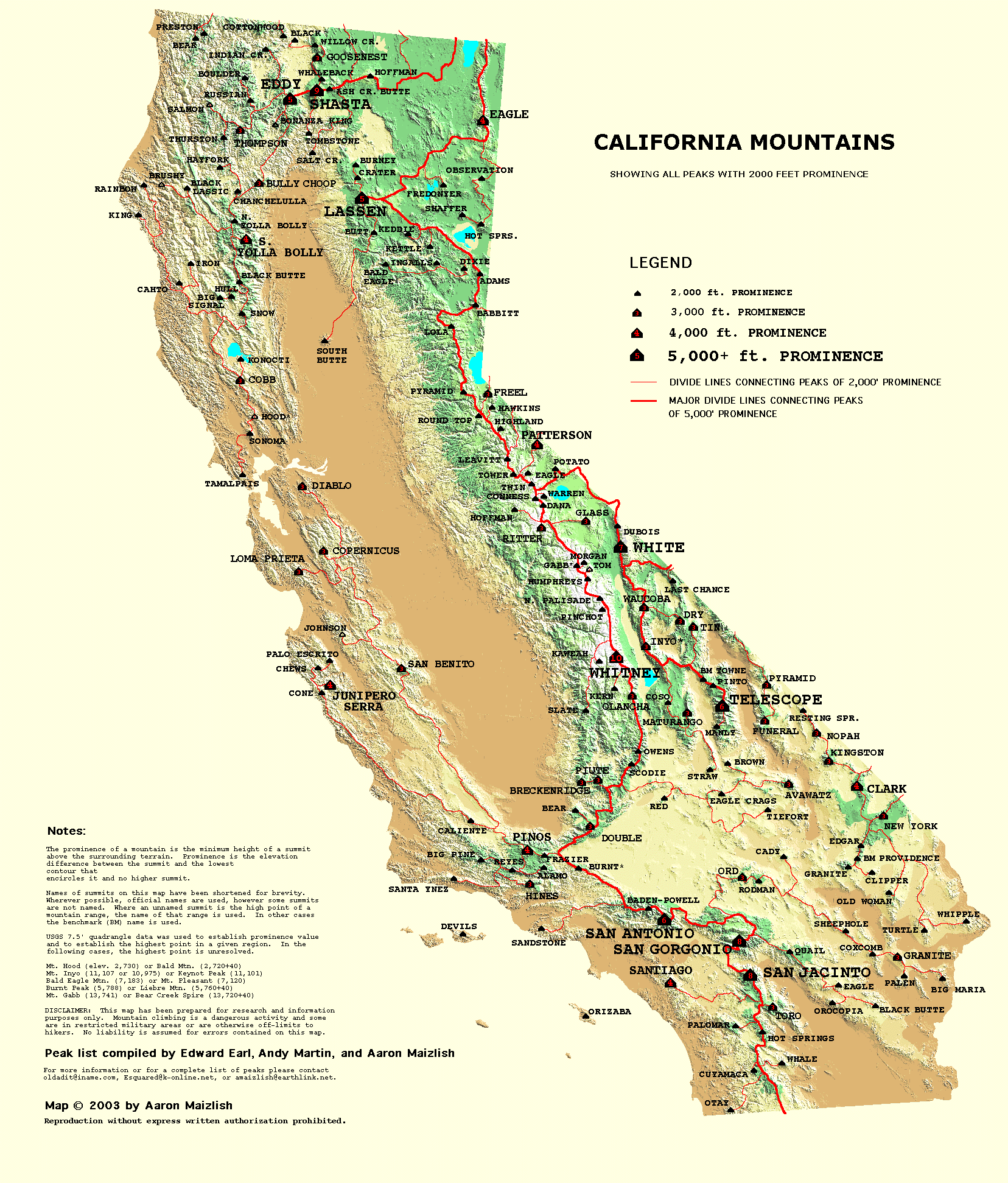
With an elevation of 6,761', the Granite Mountains rank way down on the California elevation list. But the new field of Prominence has put the Granite Mountains on the climbing map. With a prominence of 2,792', they're just big enough to make an appearance on the California Prominence Map.
Getting There
From Barstow, drive about 78 miles east on Interstate 40 to the Kelbaker Road exit. Drive north on the paved Kelbaker Road about eight miles to Granite Pass. Continue north about two more miles until you see a dirt road running southwest. Turn left and drive about two miles until the road ends. Park here next to Hill 1402.
Mountain Conditions
Contact the Mojave National Preserve HQ in Barstow at 760-252-6100, or the BLM Needles Field Office at 760-326-7000 for the latest information about this area.
Map: Trails Illustrated Mojave National Preserve TopoMap.
Topo Map: Bighorn Basin.
Camping
There are no developed campgrounds in the Granite Mountains. This is a primitive camping area.
External Links
- Kelso Dunes Wilderness
- Mojave National Preserve Information
- Geology of the Mojave National Preserve
- Mojave National Preserve
- The Sweeney Granite Mountains Desert Research Center
- California Prominence Map
- Granite/Old Dad - Dec 9, 2005
MoapaPk - Nov 17, 2007 7:03 pm - Hasn't voted
No trespassing Cottonwood Basin RteThe road now has a bright orange "NO TRESPASSING" sign stating this is a California ecological study area: Orange sign . The route described in this page has been illegal from the period of at least 2006 to 2015. It MAY be legal in the future. See this map.
MoapaPk - Apr 9, 2009 10:36 am - Hasn't voted
Access changedHere is the last communication from the folks who run the preserve (GMDRC): Even though Granite Peak is just inside the reserve boundary, we don't mind if people climb the peak, as long as you are accessing it from outside the reserve. You can get up to the peak via Willow Springs Basin, Budweiser Canyon, or Bull Canyon, all of which are beautiful areas So DON'T use the DPS route (Cottonwood Wash), as indicated on SP currently (Apr 09, 2009). I specifically asked them about Willow Springs Basin, and that really looks like a better route.
jdmorehouse - Mar 21, 2013 9:38 pm - Hasn't voted
Re: Access changedDo you have a good route description for the Willow Springs route? I took the usual DPS route and saw no evidence (besides the sign) that the area had any one out there. There was evidence that an ATV had been up there, though. We saw the tracks, as well as a fair amount of foot prints on the road through the Cottonwood area.
MoapaPk - Mar 24, 2013 7:17 pm - Hasn't voted
Re: Access changedGo to Willow Springs campground and head up the nearest ridge! The UC Center gets sporadic checks by the police, and that is it. But they are trying to run experiments in that area, on the assumption that there will be no people to disturb the native plants and animals. They were nice and helpful, and I hope we give them reason to stay that way. If you do a google search on DPS and "Granite Mountain," you will find some reports of recent trips, and even photos of the route. Add "^ina ?owman" (^=T, ?=B) to the search and you will likely see the most relevant reports.
jdmorehouse - Mar 21, 2013 9:34 pm - Hasn't voted
Register FoundOn January 11, 2013, Dennis Poulin said on peakbagger.com that the register was not be found. I was up there with Lorraine Wajda in March, and she found the register. There was a Pringle's can with a few sheets of notebook paper in it serving as a substitute for the register. We signed it, and put the Pringle's can inside the ammo box and returned it to the summit cairn. http://3.bp.blogspot.com/-rgU2O_H0X5U/UT3e8XFszJI/AAAAAAAAFDE/jv4kD_cTxgI/s1600/P1010294.JPG
MoapaPk - Mar 16, 2015 11:02 am - Hasn't voted
Cottonwood stillMarch 15, 2015 I confirmed, by contacting the head of Sweeney Reserve, that they view the routes through Cottonwood Basin as closed. They want to develop a permit system for hikers, but have to wait for NPS approval. See this map.
MikeToffey - Feb 10, 2021 5:57 am - Hasn't voted
Cottonwood OpenNo longer any closed signs or any signs that it ever was closed. We hiked the standard DPS route on 2/7/2021.
T. White - Aug 2, 2023 12:34 am - Hasn't voted
Re: Cottonwood OpenThat's fantastic to hear. Thanks for sharing this news!