-
 14005 Hits
-
 88.61% Score
-
 27 Votes
|
|
Mountain/Rock |
|---|---|
|
|
46.62023°N / 8.44583°E |
|
|
Mountaineering, Trad Climbing, Sport Climbing |
|
|
Spring, Summer, Fall |
|
|
10407 ft / 3172 m |
|
|
Overview
The Graue Wand is a well known mountain in the Uri Alps Group. It is part of the Gletschhorn-Schöllenen-ridge, which lies at the SE-side of the Uri Alps Group.
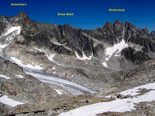
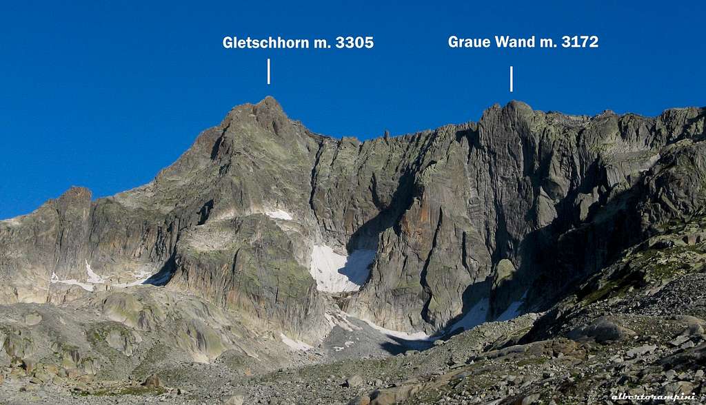
Although the summit isn't very prominent it is still very well known, probably because of it's famous South-face, wich contains some of the best climbing routes of the Uri Alps. Like almost all routes in the Uri Alps, it offers steep climbing on beautiful Urnergranite. Another reason becauase it is climbed pretty often is the easy and short access. It is possible to climb the Graue Wand in a day from Tiefenbach (2110 m), located on the Furka pass road. As far I know there isn't really a Normal route on the mountain and all ascents today are made on the South-face. Therefore I'm only focusing on it's southside. This picture gives a good impression of the 'other side/north side' of the mountain, and shows why it isn't popular, in fact it's full of loose rock. Because of it's popularity it can be very busy on the South-face, especially during the weekend.
Getting There
In General
Basicially the Furka pass road is the only starting point for the mountain. The Furka pass road is famous Swiss mountain pass wich runs between Andermatt (East) and Gletsch (West). The Graue Wand is often climbed in one day from the Furka pass road, wich is a bit longer than an approach from the Albert-Heim-Hütte.
By Car:
* From the north via highway A2 till Göschenen and via the Schöllenen gorge (6 km) and to Andermatt. Continue along the Furka pass road untill Tiefenbach (2110 m).
* From the south via the Gotthardpass (summer) or through the Gotthard tunnel to Göschenen.
* From the Valais over the Furkapass (summer) or by car transport from Oberwald to Realp.
* From Graubünden (East) over the Oberalppass (summer) or by car transport from Sedrun to Andermatt.
By public transport:
* Andermatt can be reached by train with the Matterhorn Gotthard Bahn, then continue to Realp. From here by Postbus (July – September) to Tiefenbach (2110 m).
To the Albert-Heim-Hütte
From Tiefenbach (2110 m), 1.5 hours. Follow a well marked path which starts at the north side of the road, to the Albert-Heim-Hütte.
Or, drive by car on a concrete road to Tätsch (2270 m), and start walking from there (Attention: toll road, 7 CHF need to be payed at Tiefenbach!).
To the Graue Wand (south face)
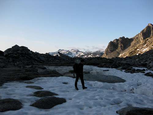
A rather short approach from the Albert-Heim-Hütte, 1 hour. Descent to point 2480 m and follow tracks in mainly NW direction (along a small river). Reach the small glacier beneath it's south-face and pick your climb.
Routes
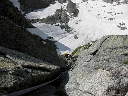
The South-face of the Graue Wand has several beautiful climbing routes. The longest routes are up to 400 meters long, like the classic Niedermann. Most of the routes are re-bolted and therefore pretty safe to climb. The BGA (Bergsteigergruppe Alpina) has re-bolted some of the classic routes. Due to it's short acces and the fact that the face is south orientated, it is possible to climb the Graue Wand pretty early in the season.
A selection of routes on the South-face of the Graue Wand:
- Niedermann, 400m, VI (VI obl.) / M.Niedermann, W.Sieber: 1964
- Accept, 400m, VI+ (VI obl.) / C.Remy, Y.Remy: 1983
- Eisbrecher, 400m, VII (VII obl.) / M.Scheel, R.Heer, T.Müller: 1982
- Conquest, 395m, VIII (VIII obl.) / C.Remy, Y.Remy: 1988
- Cannibal Island, 250m, IX- (IX- obl.) / Portela, Schwitter, Heinl: 1990 A great picture of the route (Thanks to Gabriele!)
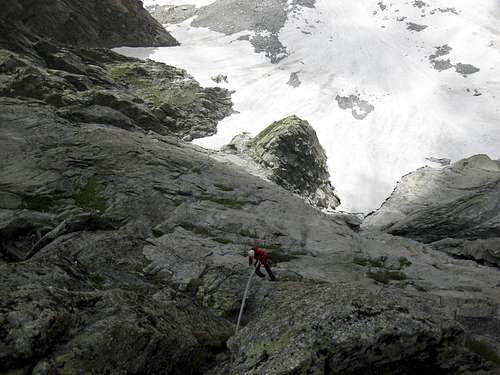
Descent: rappel down the south face along the perfectly bolted rappelroute. Which contains some very clever belays, made for rappeling down very fast. Don't rappel down your route if there are any parties behind you!
Red tape
No particular restrictions in climbing and hiking. Anyhow, pay attention to these two rules:
- Free camping is not allowed in Tatsch
- Pay the ticket at the starting of the road towards Tatsch; to be fined is not a pleasant surprise after a day of hard climb...
Hut
Albert-Heim-Hütte SAC 2541 m
Claudia Rey
Postfach 203
CH-6490 Andermatt
Phone (hut): +41 41 887 17 45
Albert Heim Hütte m. 2541 - S.A.C. (Swisse Alpine Club) SEKTION UTO
Albert Heim on Summitpost: Albert Heim Hut
When to climb
Best season goes from July to September
Meteo
Guidebooks and maps
Map 1:25 000:
- SAC Map: 1231 Urseren
Map 1:50 000:
- SAC Map: 255 Sustenpass
Online Maps:
- http://www.mapplus.ch / www.swissgeo.ch/
Guidebook:
- Topoguide Band 1, Nicole Luzar & Volker Roth, ISBN 3-00-016204-6
- SAC Guidebook: Urner Alpen Bd.2, T. Fullin & A. Bahnholzer, ISBN: 3-85902-222-9
- Plaisir OST, Jürg von Känel, ISBN 3-906087-28-X
To order SAC Maps: www.toposhop.ch
To order SAC Guidebook: www.sac-cas.ch
To order Plaisir OST: www.filidor.ch
To order the Topoguide: www.topoguide.de
External Links
Useful links:
WSL Institute for Snow and Avalanche Research SLF - Avalance Bulletin
Weather Forecast - Detailed weather forecast
Railroad information - Railroad schedule
Bus information - Postbus schedule
Hotel Tiefenbach - Hotel Tiefenbach


