|
|
Mountain/Rock |
|---|---|
|
|
49.18381°N / 121.68255°W |
|
|
Hiking, Mountaineering |
|
|
Spring, Summer, Fall |
|
|
7182 ft / 2189 m |
|
|
Overview
4.3mi roundtrip (out and back), 2,467 ft elevation gain - class 2/3 scrambling towards the top with a couple low class 4 chimneying moves with exposure on the summit block. Beautiful overviews of the Fraser Valley, North Cascades, and the Wahleach Glacier below
Getting There
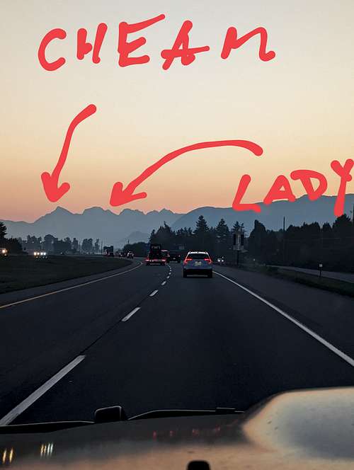
From Hwy 1 heading East:
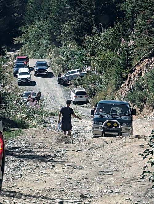
Truly the most challenging part of this climb is more the mandatory 4x4 road access which takes a savvy offroad driver 1hr + to navigate. Per All Trails: A high-clearance 4x4 vehicle is strongly recommended to reach the trailhead, as there are many sections on the road with deep cross ditches.
This is putting it lightly. My 16' Toyota Tacoma scraped on the rear tow hitch every swale cut into the road for erosion control the entire way up and down. I assisted a young gentlemen from the town of Hope who highpointed his low clearance sedan on a rock in the road, puncturing his oil pan, and draining it fully on the drive out. Not to be taken lightly ... photo below taken at primary washout 1.5mi from TH (September 2023)
Route
Per All Trails: The Lady Peak trail begins by following the same trail as the one used for Cheam. The trail breaks off from the Cheam trail in a small rocky segment of the Cheam trail, the trail split is marked by some orange tape but it can be easy to miss so keep your eyes peeled for it. Once you split off from the Cheam trail, the trail pretty much goes directly uphill towards lady, the general route is well marked by numerous cairns and some orange spray painted rocks. After picking your way up the rock fields for about an hour you will arrive at the ridge and Lady is not far after that. Scrambling your way up to the summit after this is easiest if you keep right whenever possible and if you take the right route there is almost no exposure. Once you reach the summit you will be treated to a beautiful view of the Cheam Range and the glaciers below.
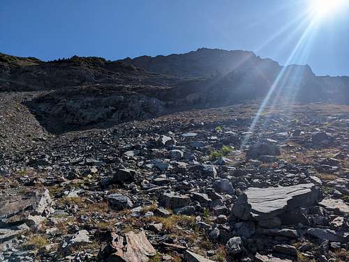
Per me: no spray painted rocks found anywhere on route (September 2023). However, well marked smaller evergreen shrub (tons of orange flagging) that directs attention from the Cheam trail to the right. Steep bushwhacky route leading up through some heather which opens up to a scree field. There are markings with orange flagging on both sides of this scree field, with a slightly more technical approach to the left, easier trail that leads into some evergreen trees to the right and switchbacks up from there:
All trails eventually meet up above this scree field at the base of another scree field, and the social trails that lead up from this spot are numerous and marked with cairns (all over).
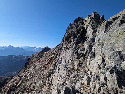
Once through this scree field and on the ridgeline, the trail is again relatively obvious without snow and well protected.
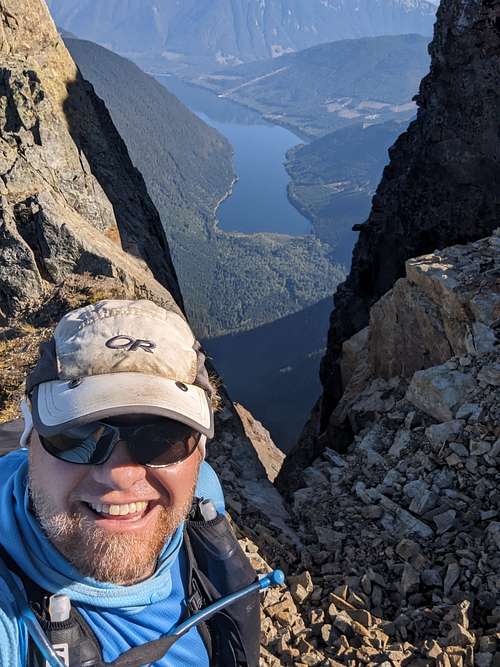
The final summit block has a small section of chimneying to attain the true summit (probably low class 4) with some pretty decent exposure, but again very manageable for anyone comfortable with grippy rock and exposure. Generally agree with AllTrails about staying right when in doubt. Summit block pictured below:
Red Tape
No camping at trailhead, and dogs allowed on leash. Be prepared to beat your vehicle up to get to the TH. Saw a ton of wildlife with an early start, including black bear - may want to bring bear spray if so inclined
Also per All Trails: It has been reported that using Apple maps for directions takes vehicles to an incorrect location near Bridal Veil Falls. Google Maps seems to not have this error occur.
When to Climb
Spring, Summer, Fall - unsure on Winter access or conditions
Camping
No camping at TH
External Links
Information gathered from personal experience and the following: All Trails


