|
|
Trip Report |
|---|---|
|
|
39.03290°N / 107.1893°W |
|
|
Jul 2, 2018 |
|
|
Hiking |
|
|
Summer |
Overview
The 11314 ft (3449 m) Marble Point rises to the south of the town of Marble in the Elk Mountains of Colorado. A trail starts near Marble Quarry and goes to the top of Marble Point. My original plan was to go off trail from Marble Point heading west bypassing Point 11930 ft and Peak 11961 ft to reach the 12094 ft Ragged Mountain. Once I reached Marble Point, I became lazy. The cost to benefit seemed too high so I decided to have an easy day enjoying the views from the top of Marble Point.
Trip Report
Left the vacation rental house at 5:35 a.m. and drove 6 miles east to the town of Marble. On the road, at the bottom of the valley, it was 35 degrees F. Once in Marble, turned onto Marble Quarry Road which was a well graded dirt road and drove 2.9 miles to near the quarry where the road made a broad U-turn. There were no signs there but I had looked at satellite photos and knew that my trailhead was in that area.
Started my hike at 6:00 a.m. Elevation was 9000 ft and it was 45 degrees F. I was in the shade. Yule Pass Trailhead was hidden behind the bushes but once I got on it, the trail was well-established. It seemed to go directly up the slope among a dense growth of bushes. After only 750 feet, the trail had already climbed 300 vertical feet reaching the edge of a pine forest.
The map in my GPS had shown that Anthracite Pass Trail, where I wanted to go, separated from Yule Pass Trail before entering the forest. Satellite photos however had not shown a trail split. I had seen Anthracite Pass Trail on satellite phots much farther up the slopes where the forest thinned out so I knew that it really did exist. I just did not know where the split was.
Followed Yule Pass Trail into the forest and kept going knowing that with each step, I was getting farther away from where Anthracite Pass Trail was on my GPS map. Since I did not reach a trail split, I decided to leave trail and whack my way up the slopes toward Anthracite Pass Trail. The slope turned out to be extremely steep. Fallen trees and bushes created nasty obstacles. After going up only 50 vertical feet, I reached Anthracite Pass Trail. I could see that had I stayed on the trail just a little longer, I would have reached the split.
Got on the trail and continued up the pine forest. In 0.8 miles, I had climbed 900 vertical feet. At 7:11 a.m., 1.33 miles and 10280 ft elevation, I reached a signed 4 way. I don’t remember the names but I got on the trail that went toward marble Point. The sun rose on me as the forest thinned out. The steep black southeastern slopes of Marble Point came to view. Fortunately, the trail did not go that way.
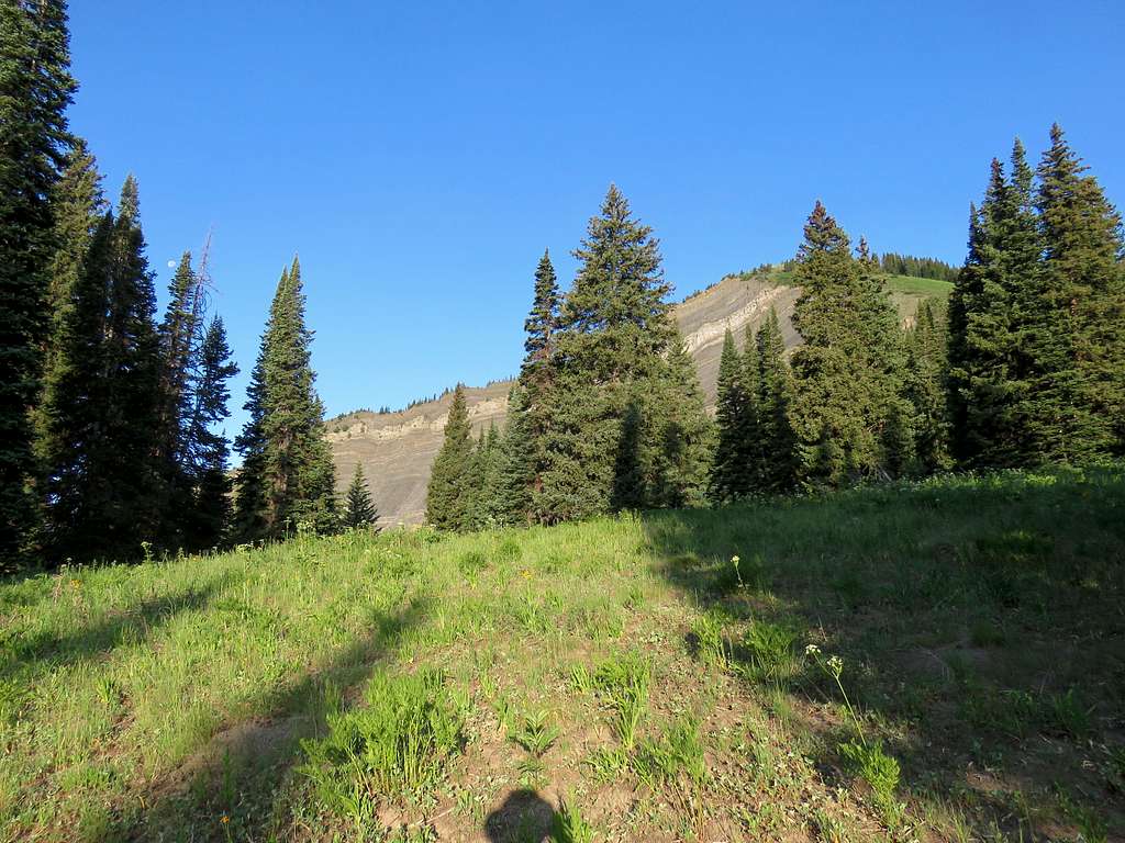
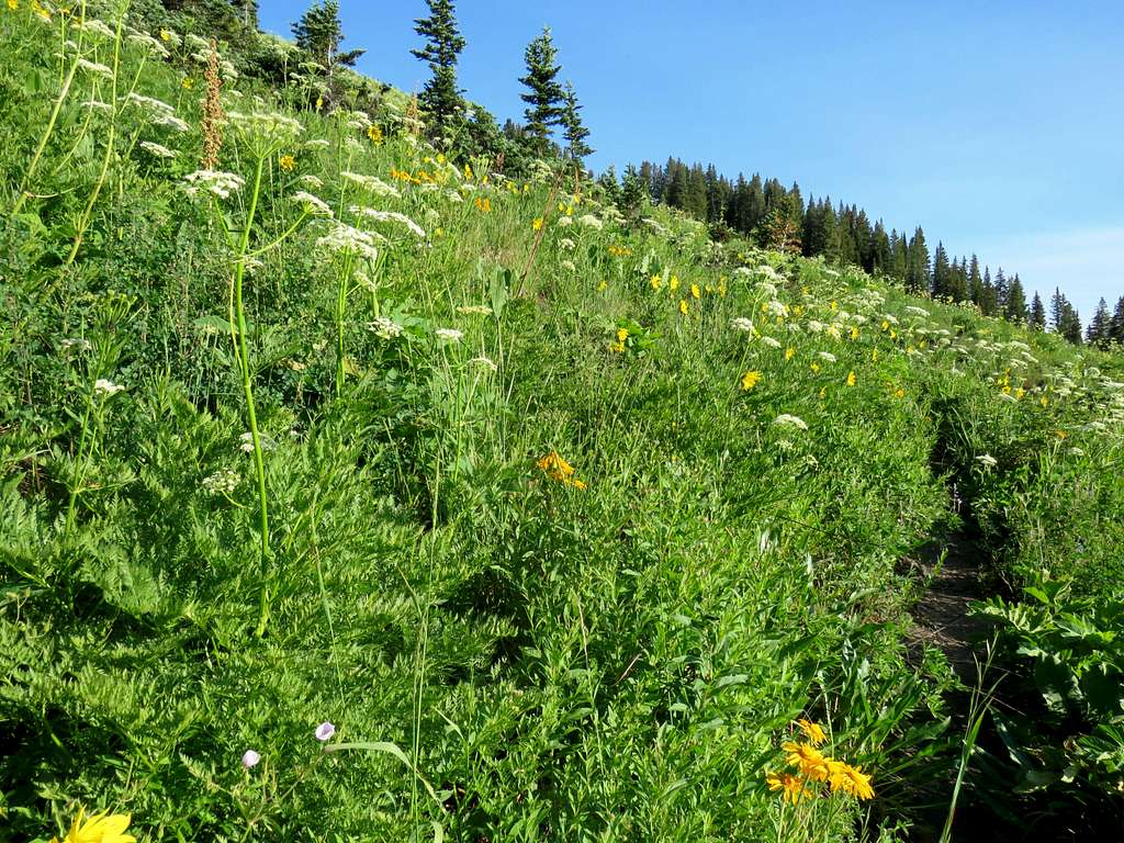
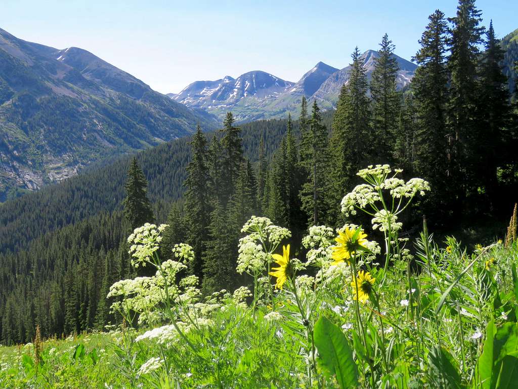
Instead, the trail zigzagged up a beautiful flower filled meadow.
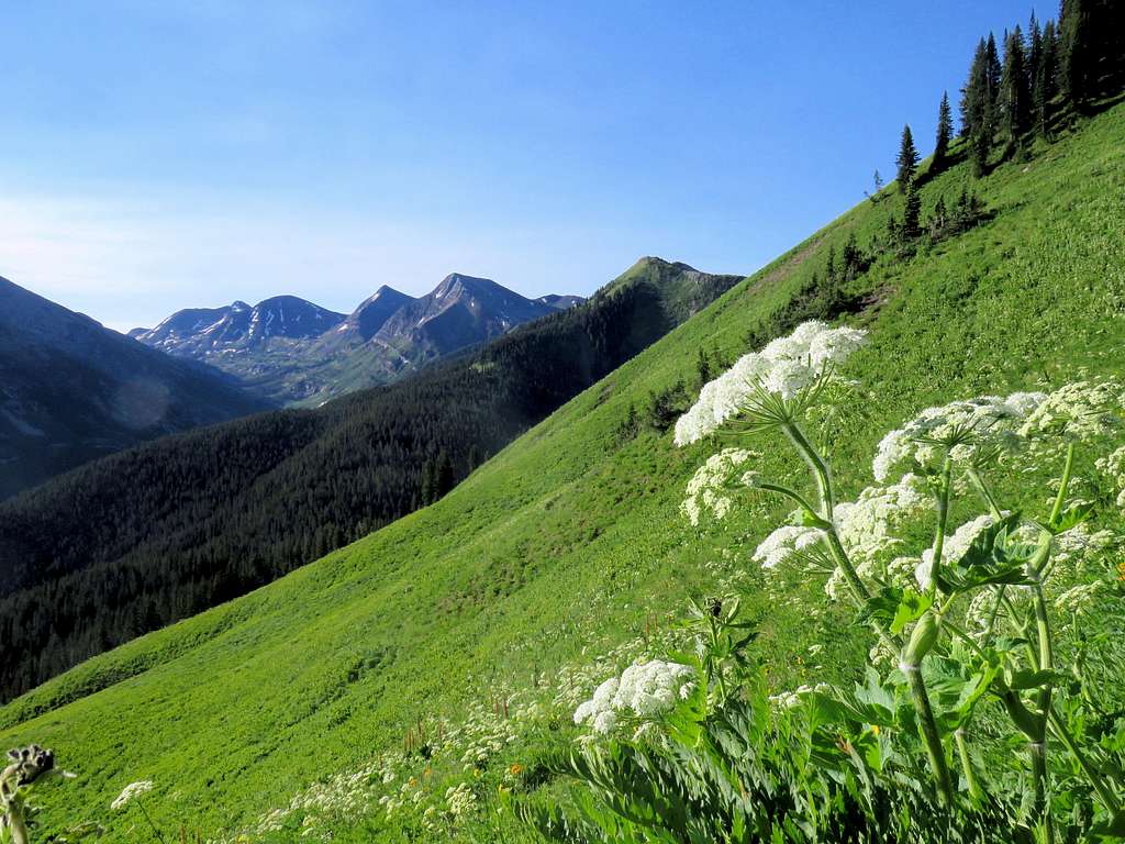
To the southeast, I could see the nameless 12000 ft points that rose above Yule Creek Valley.
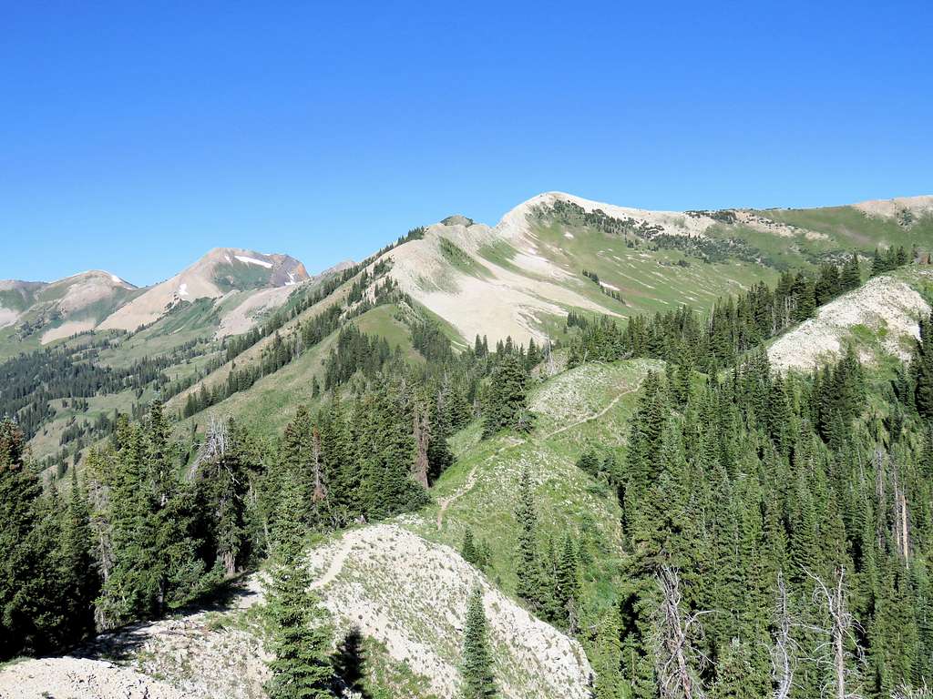
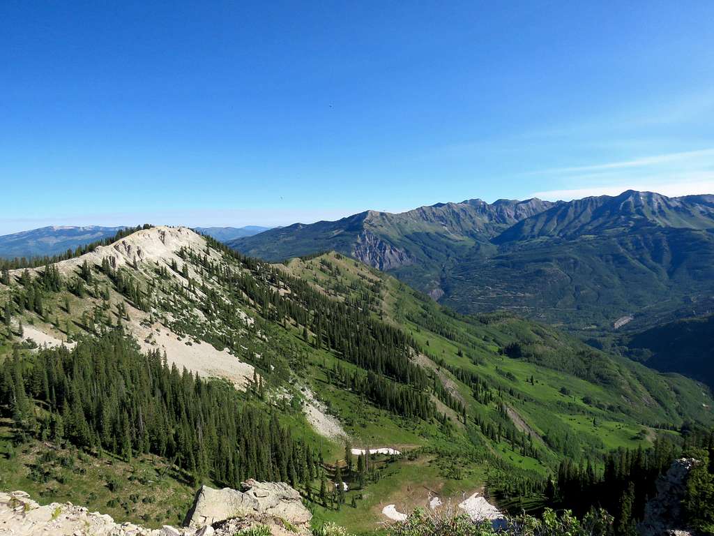
At 8:10 a.m. and 2.45 miles, I reached the top of Marble Point. Most of my path to Point 11930 ft, Peak 11961 ft and Ragged Mountain could be seen. I told myself: ”Are you crazy? Why would you want to get yourself involved with those potentially nasty slopes? You are getting too old for this”. I decided to sit there, have my sandwich and enjoy the views.
A cloud of mosquitos was bugging me. I put on my raincoat. Only hands, lips and nose were exposed.
Elk Mountain and Mount Daly.
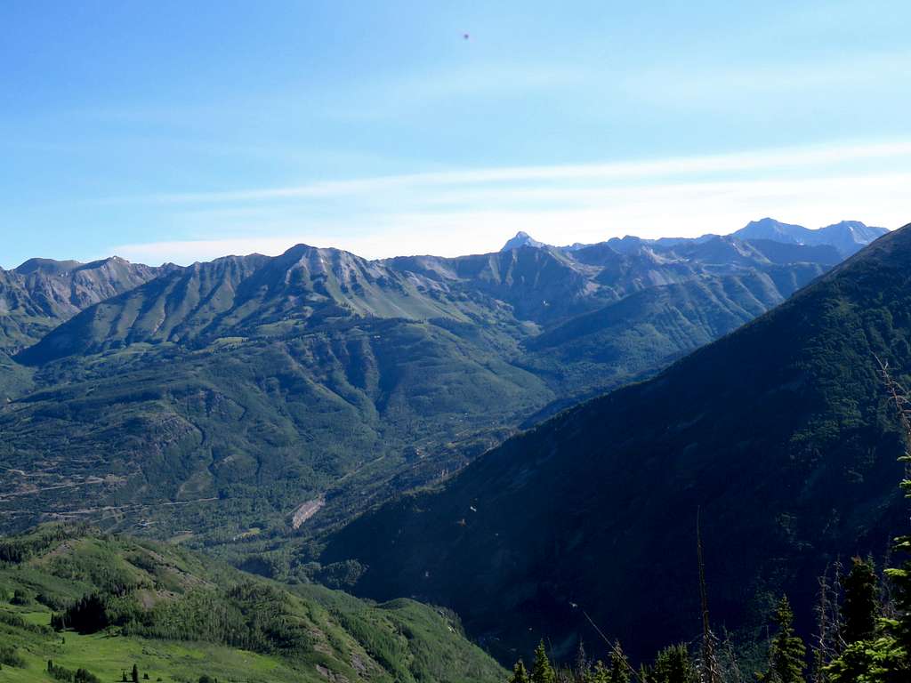
\Mount Snowmass, Capitol Peak & Mount Daly.
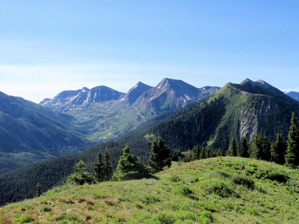
Mount Justice and the 12ers on the south side of Yule Creek pass.
Zoomed view of Gothic Mountain.
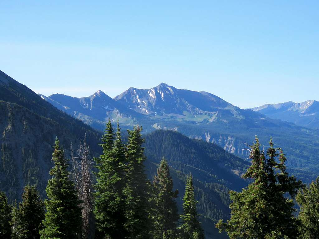
East and West Beckwith Mountains.
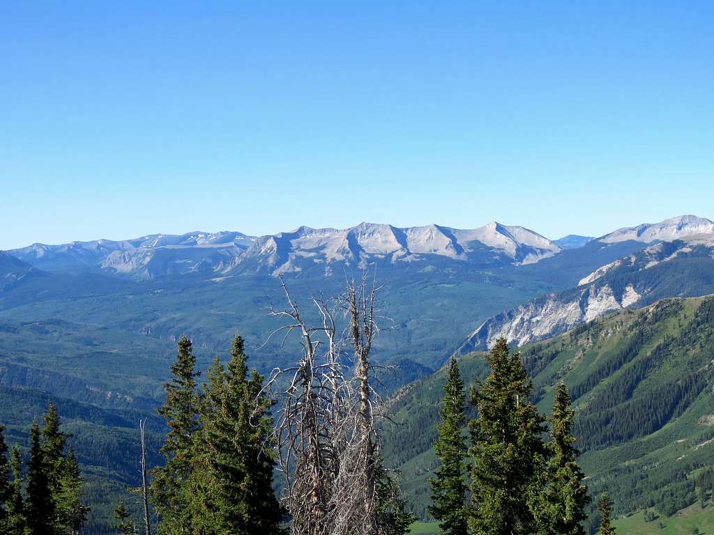
Point 11896 ft.
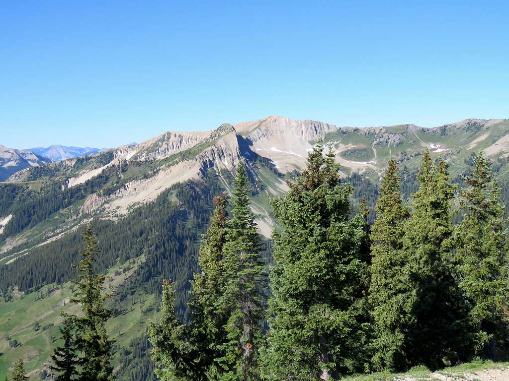
Left at 8:50 a.m. and began to hike back down. Marble Quarry had begun to operate and I could hear its noise from the bottom of the valley.
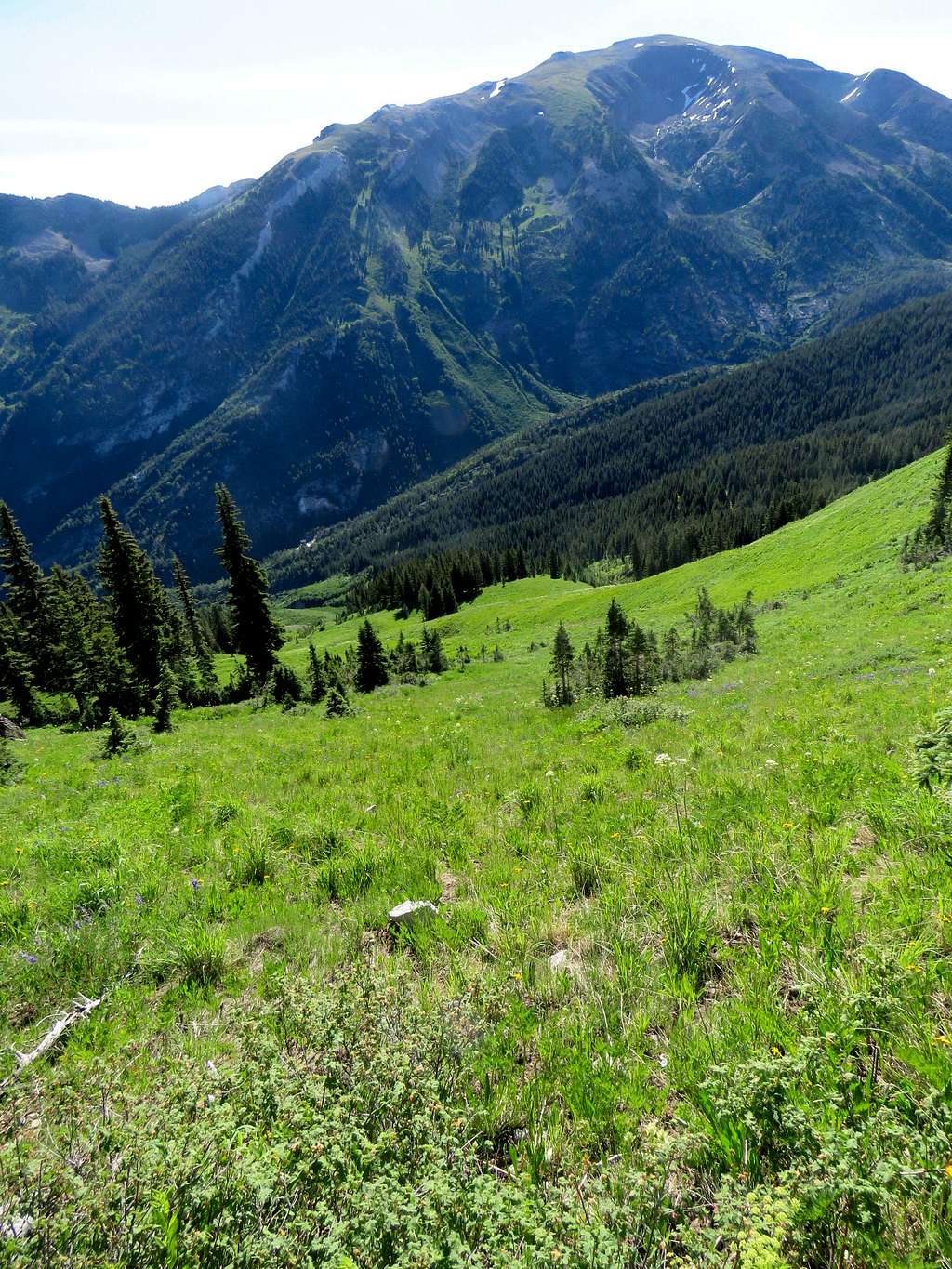
Despite the drought and bone dry earth, everything looked lush green.
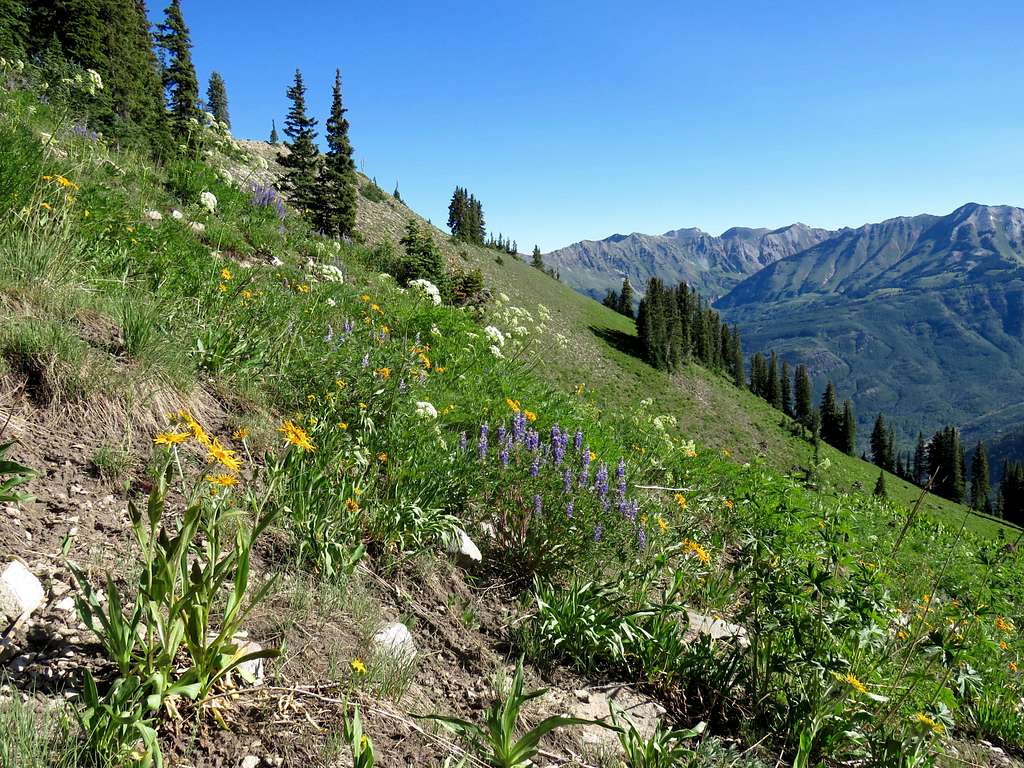
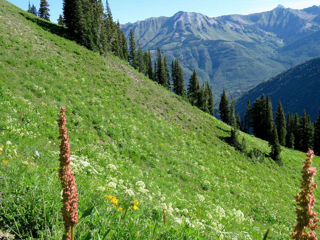
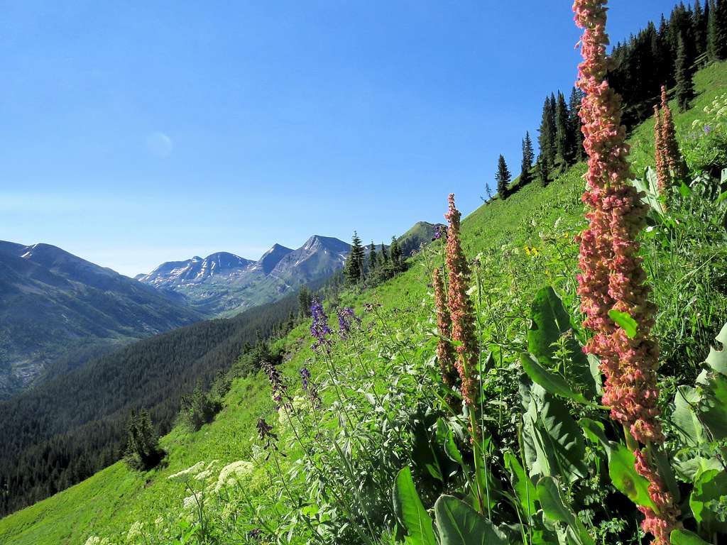
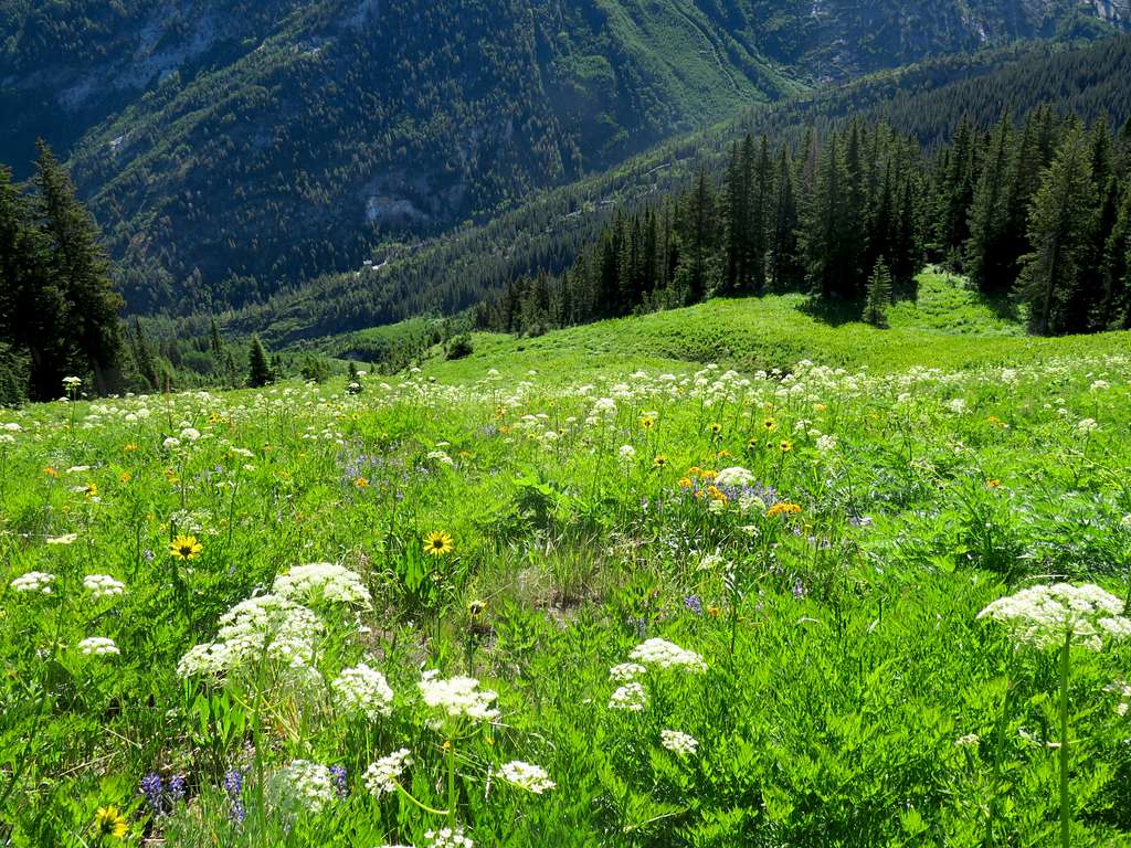
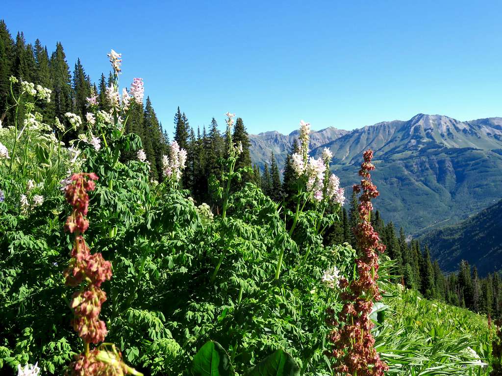
Nearing the forest.
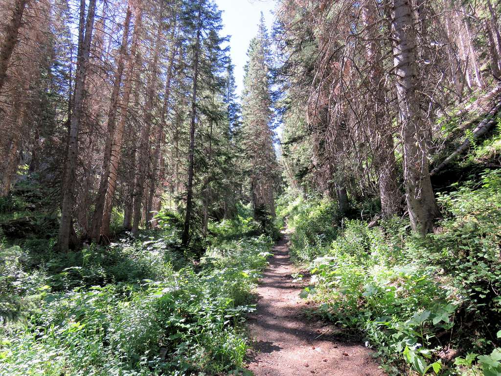
Hiking down the pine forest.
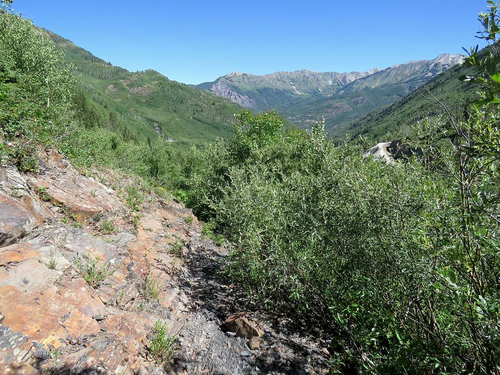
In the bushes near trailhead.
Reached my car at 10:35 a.m. having done a 4.96 mile hike with 2430 ft elevation gain per GPS.

