-
 28896 Hits
-
 77.48% Score
-
 8 Votes
|
|
Mountain/Rock |
|---|---|
|
|
39.03280°N / 107.1892°W |
|
|
Gunnison |
|
|
Hiking, Skiing |
|
|
11314 ft / 3449 m |
|
|
Overview
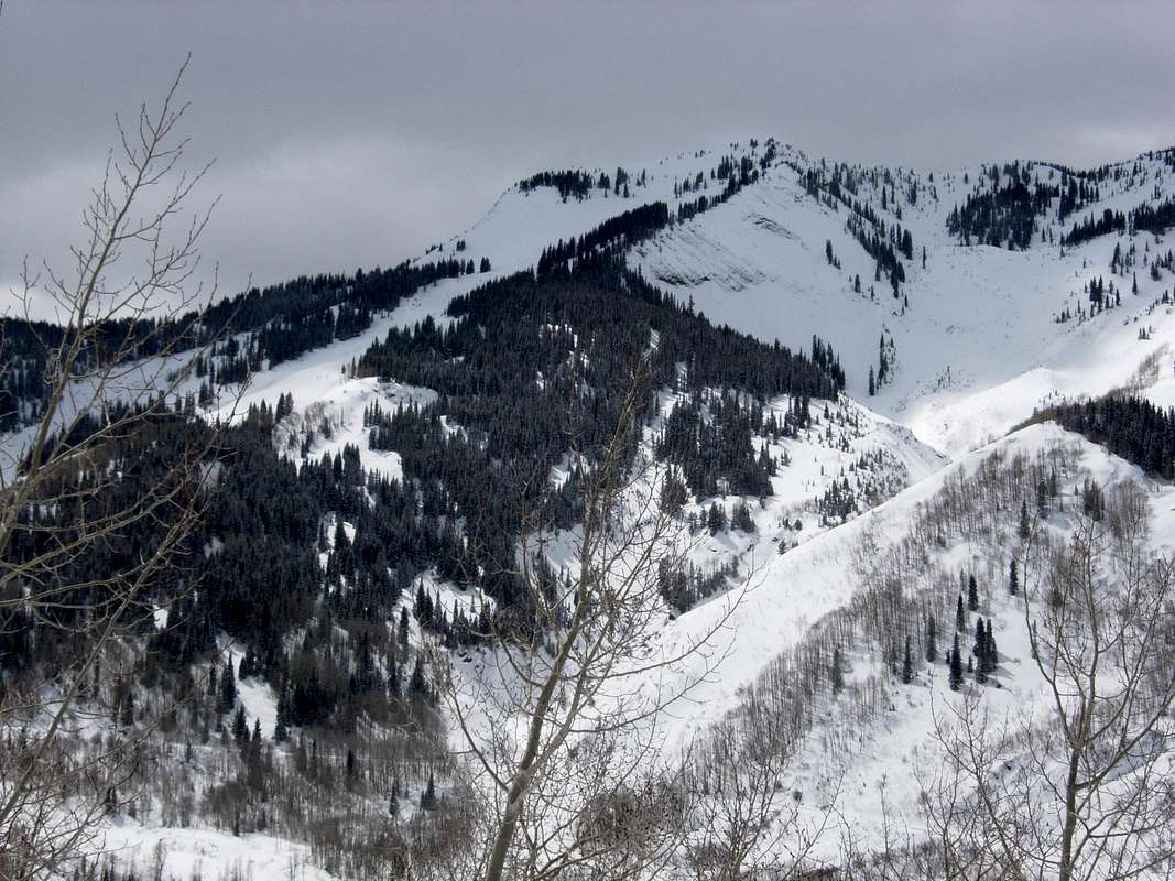
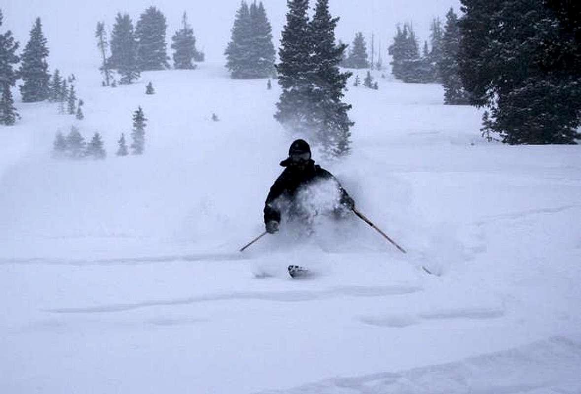
"Marble Peak" is located about two miles south of Marble, CO in central Colorado. Yule Marble Quarry is about one mile from the summit. "Marble Peak" is a popular destination for people living in the area. The East Bowl offers an excellent ski run of over 2,000 vertical feet with no approach! The East Bowl is an advanced ski descent rated as a II D5 R1 on the D Scale.Check out these photos of skiing "Marble Peak".
Check out this article in Summit Daily News about skiing "Marble Peak". Free registration required.
From the summit, Alley Peak, Anthracite Peak, Ant Peak, Capitol Peak, Chair Mountain, East Ragged Peak, Elk Mountain, Hawk Peak, Mount Daly, Huntsman Ridge, McClure Pass, Mount Justice, Mud Peak, Purple Mountain, Raspberry Peak, Snowmass Mountain, South Mount Justice, The Kite, Thompson Peak, Treasure Mountain, Whitehouse Mountain and Yule Pass are visible.
Check out this interactive, panoramic summit view.
Getting There
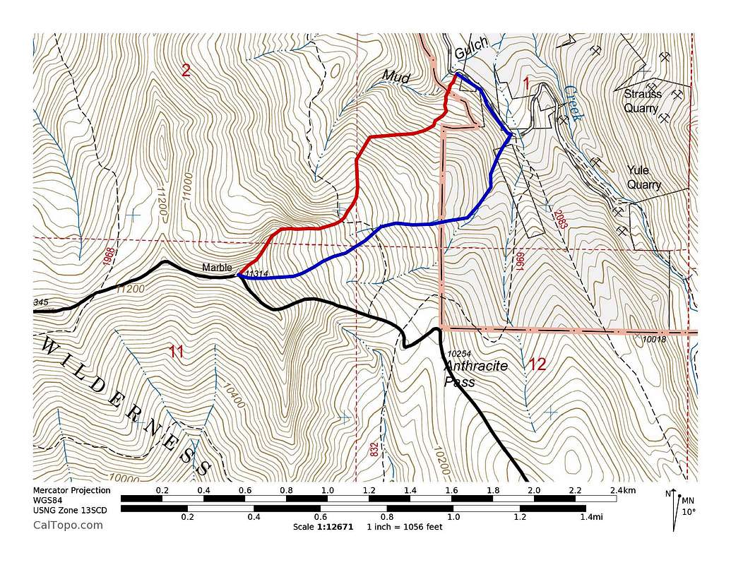
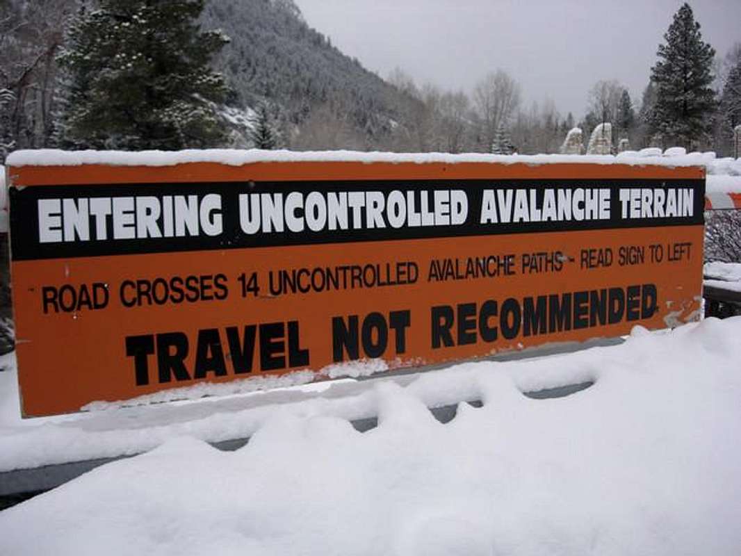
Drive Highway 133 from Paonia or Carbondale. Turn east onto a well-signed road leading to Marble on the north side of McClure Pass. Drive 6 miles to a stop sign in Marble. Turn right onto Quarry Road. Drive 2.6 miles and park at the base of Mud Gulch.The Northeast Ridge is the safest winter route.
Red Tape
There is a lot of private property in this area. For more details refer toDawson's Guide to Colorado Backcountry Skiing, Volume 1."Marble Peak" is located in White River National Forest Aspen Ranger District.
Mountain Conditions
7 Day Forecast for Marble, COColorado Avalanche Information Center (CAIC)
Roaring Fork Avalanche Center
Camping & Lodging
I'm not aware of any camping in or around Marble, CO.Lodging is available in Marble, CO.


