|
|
Mountain/Rock |
|---|---|
|
|
43.57010°N / 114.1923°W |
|
|
10400 ft / 3170 m |
|
|
Overview
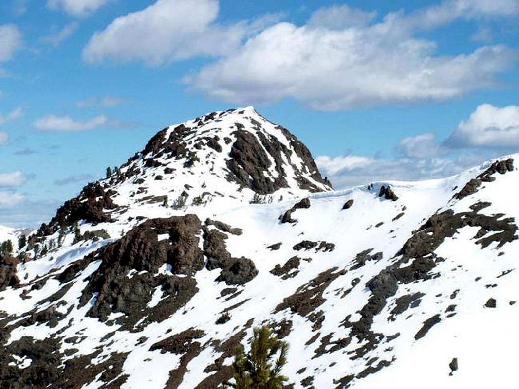
Meridian Peak is located in central Idaho's Boulder Mountains on the northeastern fringes of the largest peaks in the range. It is a large, triple summited mountain in shape of a giant L.

Although it is not a particularly attractive mountain itself, its setting on the backside of the Boulder Mountains provides breath-taking views and outstanding surroundings. The highest summit of the three in the northernmost at more than 10,400'. The middle summit, which is falsely identified as the real summit of Meridian Peak, is a triangulation station and sits at 10,285'. The third summit is the lowest and furthest east of the three and has a summit elevation of 10,217.
The terrain of Meridian Peak consists of generally rolling foothills at the base, gradually increasing in steepness the higher up you go. Half way up Meridian small cliffs make for some interesting topography but do are not obstacles on the main route. Finally the summit blocks of each of the peaks are quite small and require no technical climbing skills whatsoever.
This are of the Boulder Mountains see little, if any, traffic throughout the year. It is very remote and more than an hour and half from any towns or cities. Suprisingly, a very well cut trail leads through portions of this valley and provides an excellent day hike for those near Ketchum and Sun Valley.
Getting There
From Sun Valley, drive northeast on Trail Creek Road. Eventually the road will begin its chug up a steep face and turn to dirt. After a few miles of rough dirt road driving, Trail Creek Road then turns and drops into another valley. Here, the dirt road improves and descends slowly down Summit Creek.
Continue on this road until seeing a sign that reads North Fork Big Lost River on your left. Shortly after the sign another dirt road will leave Trail Creek Road and make a large arc up another broad canyon. This is the beautiful North Fork of the Lost River.
Follow this improved dirt road until it ends at the Hunter Creek trailhead, in about 12.2 miles...
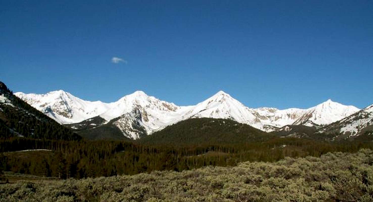
The North Fork of the Big Lost River Valley as seen from the trailhead.

Hike a few hundred yards on the Hunter Creek trail before turning northeast and gaining Meridian Peak's southwest ridge. At about 8,800' the ridge will become a little more defined and weave in and out of thick forests.
At 9,600', the ridge then opens up onto a somewhat flat opening below Meridian Peak's middle summit. Make your way easily up onto the rocks to take a look at the strange 25 foot poll sticking up at the summit, which is being held up by wire tied to three different points. This first summit requires class 2 climbing and a little exposure to the west.
Then turn northward and begin working toward the highest summit of Meridian Peak. Drop down onto the saddle between the two points without loosing much elevation and begin hiking up the summit block. Again, class two climbing and a little scree will great you on this funky little block. Once on the summit, take in the spectacular views of 8 different Idaho mountain ranges and think you are one of the very few that have climbed this peak.
Red Tape
No permits required or red tape, however, the North Fork Big Lost Road is not open during winter months to the end.
When To Climb
Because of its remote location, Meridian Peak would be a long and strenuous approach. But because of its gentle terrain, a ski, or snow ascent would not present and significant danger.
Climbing this mountain would be feasible most years by early June.
Camping
Camping is possible along the North Fork Big Lost River Road and at the trailhead.
Two established campsites are located along Trail Creek Road, shortly before the turn off, they are
Phi Kappa Campground
Park Creek Campground
Mountain Conditions
The closest weather observation is the Lost River SNOTEL Site a few miles to the south. This provides past and current conditions for the area.
For an extended, general, forecast here is the 7-day outlook


