|
|
Mountain/Rock |
|---|---|
|
|
43.87650°N / 114.4156°W |
|
|
10680 ft / 3255 m |
|
|
Overview

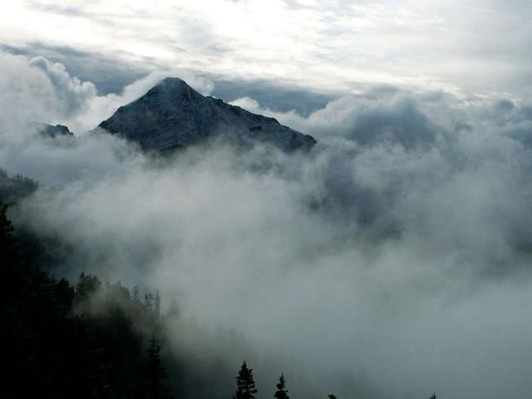
This peak is named for its almost symmetric cone-shaped appearence on TOPO maps as well the shape it takes on when viewed from Ketchum. Its slightly lower elevation, its location which is just south of the main crest, and its setting amongst the most impressive Boulder peaks, make the views from this mountain difficult to beat.
Although it may appear as a giant cone from Ketchum, the north face of this peak is quite picturesque as it towers of the West Pass Valley.
On the summit, as of July 16th 2005, is a summit register that I brought up. If my intuition is correct, I feel I could return in a year or two and not see one new name in that notebook.
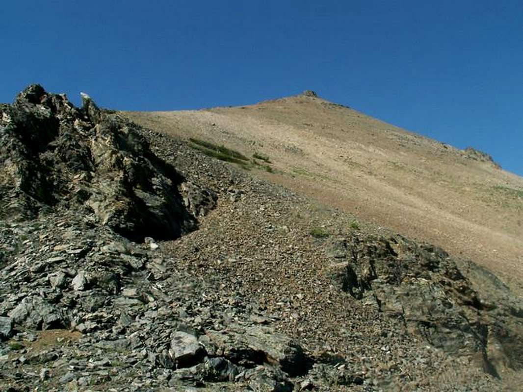
Because of its proximity to the two highest peaks in the Boulders, Kent and Ryan, The Cone is almost always overlooked. And it may seem to be an easy scramble to head directly up its southern slopes, it is not. Most of the mountain, like the majority of the range, is composed of rotten rock, allowing only one, easy class three route to the summit.
West Pass Basin Route
To access The Cone from Ketchum, Idaho, drive north on highway 75 for 7 miles until coming to the Sawtooth National Recreation Area Headquarters. Turn right on this road follow it 5 miles to its end at a large parking area. A 4-wheel drive is not required.
Requirements For Climbing The Cone's West Pass Basin Route
From the parking area, take the North Fork Trail that leaves on the northern side of the lot heading up a small hill. The trail climbs up and over into the beautiful North Fork Valley slowly meandering upstream.
At 1.5 miles the trail will enter a meadow and come across a small rock cairn and wooden cross on the right. This, easily missed landmark, is the fork with West Pass Trail. Go right on at this fork.
The trail then steeply ascends out of North Fork Valley and into West Pass Basin. At the 9,200' contour line, or shortly after, leave the trail aiming eastward for saddle 9,908', on the peaks northeastern side. Be sure only to leave the trail once past the very thick alpine shrub that covers the lower portion of the basin.

Once you have reached the saddle, turn southwestward and start climbing on relatively good footing. Stay as close the actual ridgeline as possible.
Half way up the ridge, the summit block comes into view and seems quite intimidating. However, as you approach, it becomes clear that the block is not as difficult as it looked from below.
Climb directly up the class three summit block using caution for hand and footholds as even the largest and most stable rocks seem to crumble with even the slightest movement.
Once you have reached the top of the block, follow the ridgeline easily to the The Cone from a very small false summit.
Red Tape
All red tape has been discontinued and permits are not required.
The 5-mile long access road is closed during winter.
When To Climb
The primary route up The Cone is snow free from around late-June to early-October.
Its isolation and steep faced walls would not only make a winter ascent difficult, but very dangerous. There are no reports of such activity.
Camping
Camping is ideal for either the many campgrounds located along the access road, at the trailhead, or in West Pass Basin, where a wonderful view of The Cone awaits.
Mountain Conditions
The Cone is not located near any major reporting weather stations, SNOTELS, or observations.
This website will give you a general idea of what the weather will be like in the next few days in the area.


