
|
|
Mountain/Rock |
|---|---|
|
|
18.33390°N / 64.72792°W |
|
|
Hiking |
|
|
Spring, Summer, Fall, Winter |
|
|
1277 ft / 389 m |
|
|
Overview
Purchased from the Danes in 1917 amid fears of a German U-boat base in the Caribbean during WWI, the US Virgin Islands are now a tropical oasis that don't require US travelers to have a passport to visit. Of the three main islands, St John is the least developed and over half of the island is devoted to the Virgin Islands National Park and Coral Reef National Monument. The island features peaceful white sand beaches and turquoise waters at the edge of steep volcanic terrain covered in tropical and semi-arid vegetation. A network of well-maintained trails crisscross the island offering visitors excellent access to secluded beaches, 18th century sugar mill ruins, and pre-Columbian petroglyph sites.
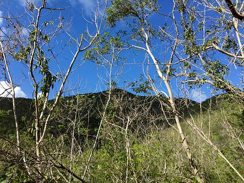
At 1277' / 389 m, Bordeaux Mountain sits as the highest point on St John and a worthy objective for hiking day trippers and highpoint peakbaggers alike. An easy, kid-friendly trail leads to the top from the south coast, allowing for an enjoyable sea-to-summit hike. Allow about 1-2 hours for the 1.8 mi hike to the summit where you can be picked up by vehicle, make the return trip, or continue on a longer loop trail.
 Bordeaux Mountain
Getting There
St John does not have an airport nor a cruise ship terminal, therefore most visitors will arrive via plane or cruise ship to St Thomas or the British Virgin Islands. From there St John is a short ferry boat ride away. Traveling around the island can be accomplished either in a taxi or with a rental car. 4WD is not required, but due to the steep terrain and possibility of wet, muddy roads it may be a desired feature of your rental vehicle. Driving time from Cruz Bay to the trailhead is about 35 min, which makes the hike to the summit and back a possibility for cruise ship passengers visiting St John for the day.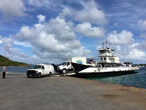 Ferry from St Thomas
The Trail
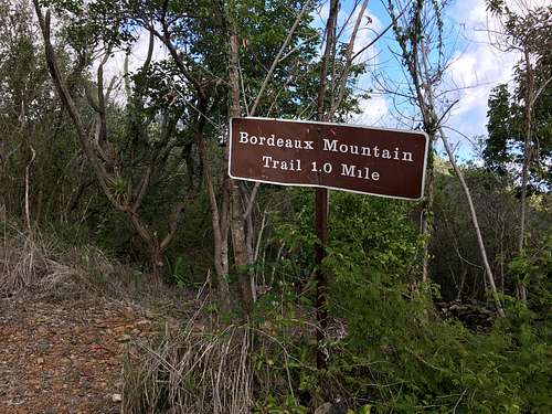
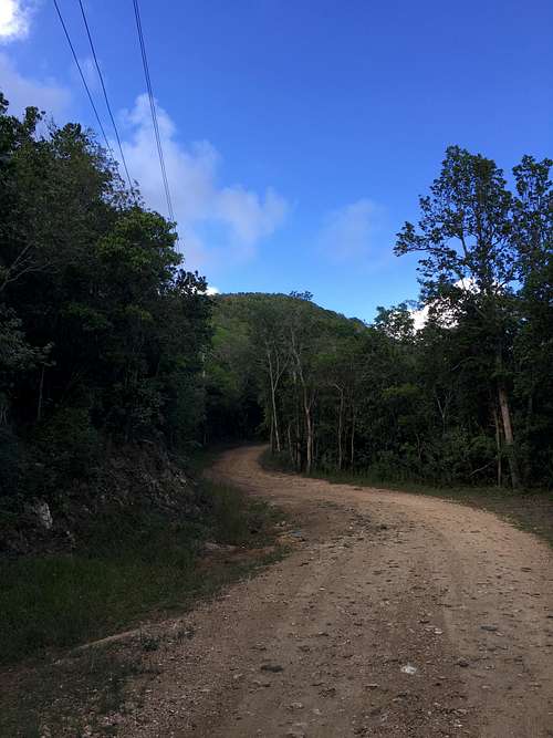
While the summit is a short 200 ft stroll from your car on the Bordeaux Mountain Road, for the truest sense of accomplishment head to the Bordeaux Mountain Trailhead at Little Lameshur Bay on the south coast of the island. A short dirt road leads to a small parking area next to a picnic area and the beach, and from there your 1.8 mi hike to the top begins. You'll quickly pass some small building ruins on your left as you make a right turn to follow the sign and walk up a rough, sun-exposed rangers quarters access road. After 0.2 mi you'll see another sign directing you off the 4x4 road and onto the much more shaded trail. You'll pass a couple of Geologic Survey markers and the trail will become slightly more overgrown as you pass from the semi-arid vegetation at the base to more tropical-type forest closer to the top. Approximately another mile of hiking from the access road will bring you to the Bordeaux Mountain Road. Here you'll make a left turn and continue walking up the road, looking for the small un-marked use trail leading to the summit on the left side of the road. From there the summit is just a short walk away. No marker or summit log exists at the top, and the view is marginal at best looking through the forest canopy to the southeast.For those interested in a longer hiking day, you can include your summit push in a rewarding loop hike beginning at the Reef Bay Trailhead on Centerline Rd. From the small parking area there hike downhill on Reef Bay Trail where you'll have the options to make short side trips to see the petroglyphs left behind by the Taino Indians as well as continuing down to Reef Bay and the ruins of the Reef Bay Sugar Mill. From Reef Bay Trail take the Lameshur Bay Trail over to Little Lameshur Bay (I recommend a swim in the calm turquoise waters of this secluded bay) where you'll begin the summit trail described above. From the summit continue down Bordeaux Mountain Road and Centerline Road back to your car for a 7.5 mile total trip.
Trail Marker
 Summit from Bordeaux Mountain Road
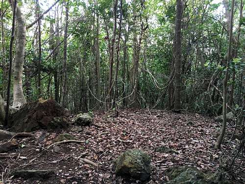 Unmarked Summit
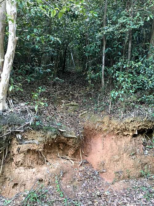 Unmarked use trail to summit
Red Tape
There is no fee required to enter the National Park, nor is a permit needed to hike any of the park's myriad of trails. Upon your arrival in St John you can head to the Visitor Center located in Cruz Bay, or call (340) 776-6201, for visitor information.