|
|
Route |
|---|---|
|
|
47.65487°N / 121.32062°W |
|
|
Overview
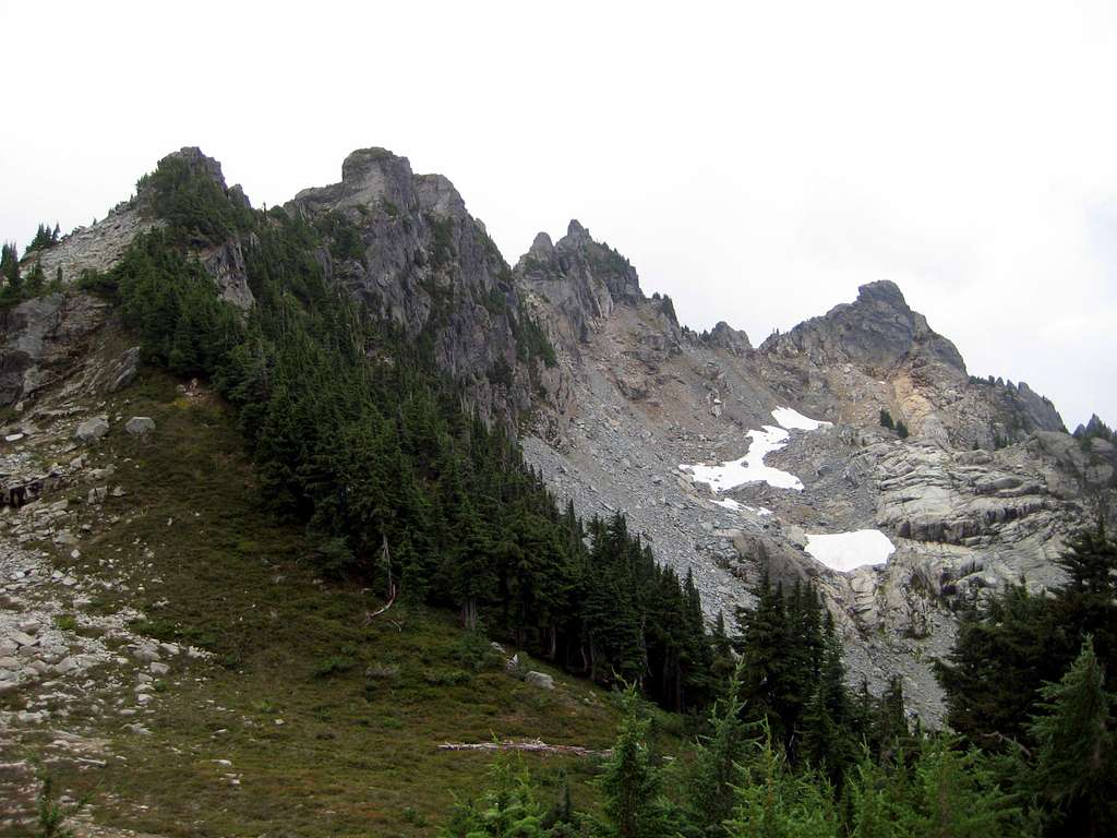
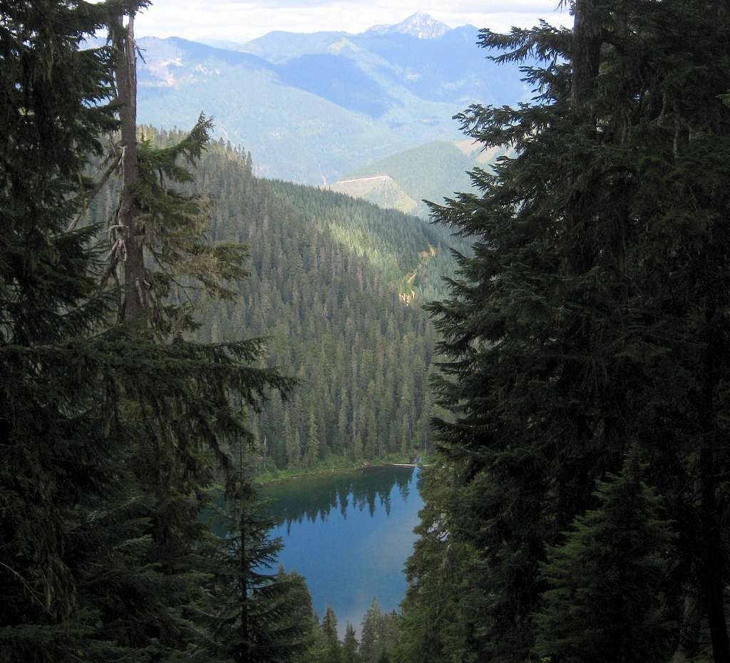
In all likelihood, this is the simplest and easiest way up Malachite Peak (although I have never tried the South Route), and seems to get the bulk of the traffic heading for the summit. It has the advantage of starting out at a relatively high elevation (tempered by several small ups-and-downs), and a well-defined trail leading to the high country north of the peak. It is also very scenic, passing within spitting distance of six alpine lakes (ok, two of them are tarns).
Getting There
Navigate to the Evans Lake 'trailhead' - directions stolen from the USFS: From Monroe, Washington take US Highway 2 east for about 34 miles to mile marker 50.5, just east of the Skykomish Ranger Station. Turn south onto Foss River Road (Forest Service Road #68). Continue on Forest Service Road #68, staying to the right at the junction with #6835. Drive about 3.5 miles beyond that junction. Turn left onto Forest Service Road #6846, continue 2 miles to the Evans Lake trailhead on the right side of the road. Continue a short distance past the Evans Lake trailhead until the road comes to a very obvious end - park here. Now walk about 100' back toward Evans Lake, where you will find the start of the 'Rock Lake Trail' (unofficial) on the west side of the road.
Route Description
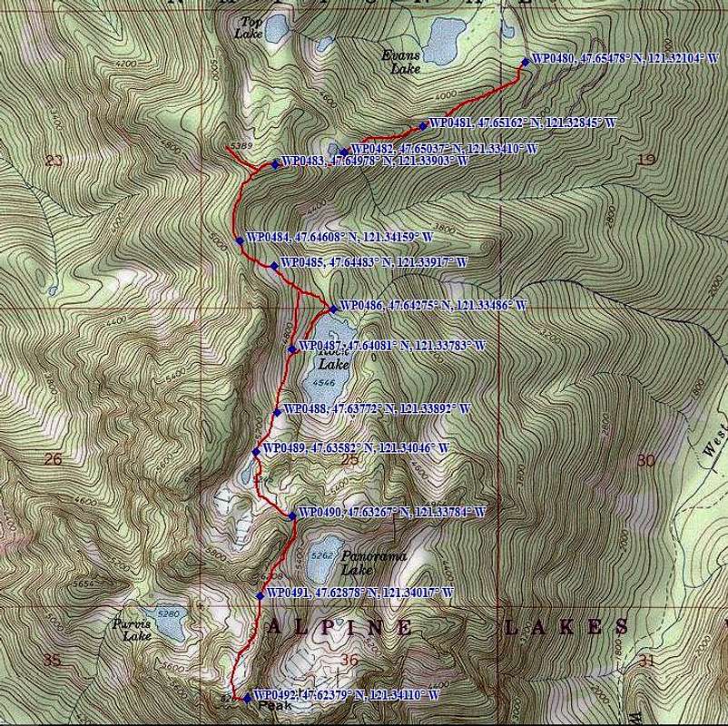
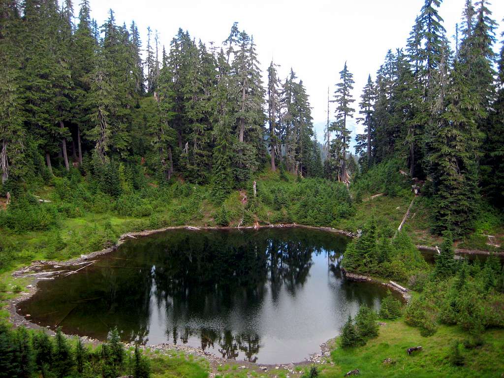
The 'Rock Lake Trail' will start out brushy for about the first 200', but will very quickly enter open timber and become very well-defined, following the hogsback just south of Evans Lake. The first point of significance is a tarn at 4700', which the trail will route around counterclockwise.
From this point, the trail will climb very steeply to the top of a 5300' ridge west of the tarn. If you have some extra time, Pt. 5389 is nearby, and makes for a quick class 3 scramble with unrestricted views.

After a short cruise south down the ridge, the trail will make an abrupt 600' drop down to Rock Lake. One has the choice of going all the way to the lake, or breaking off into the talus slopes 100'-200' above the lake.
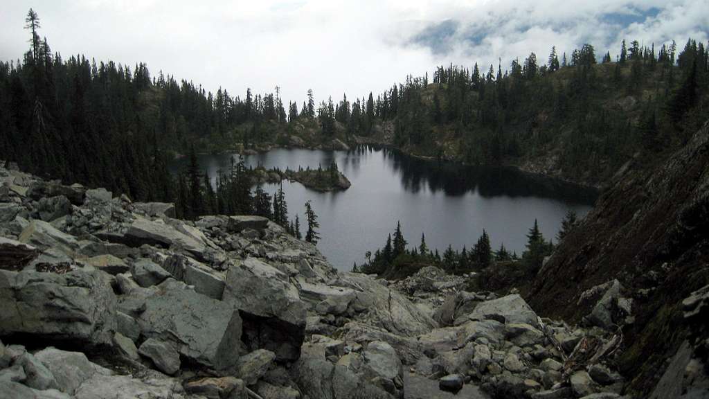
From the talus slopes on the west side of Rock Lake, head generally south toward an outlet stream that drains a tarn at 5245.
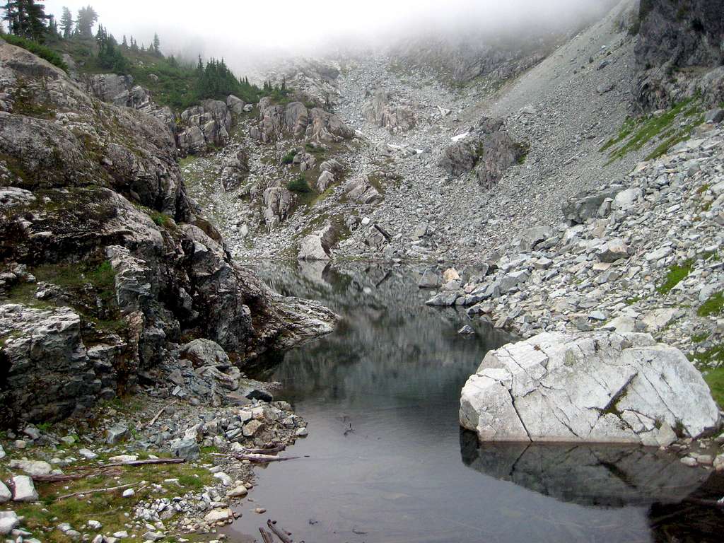
Hike to the southeast side of the tarn, which will involve going up and over a small rocky outcropping. From here, travel E/SE to a 5600'+ saddle that lies just northwest of Panorama Lake.
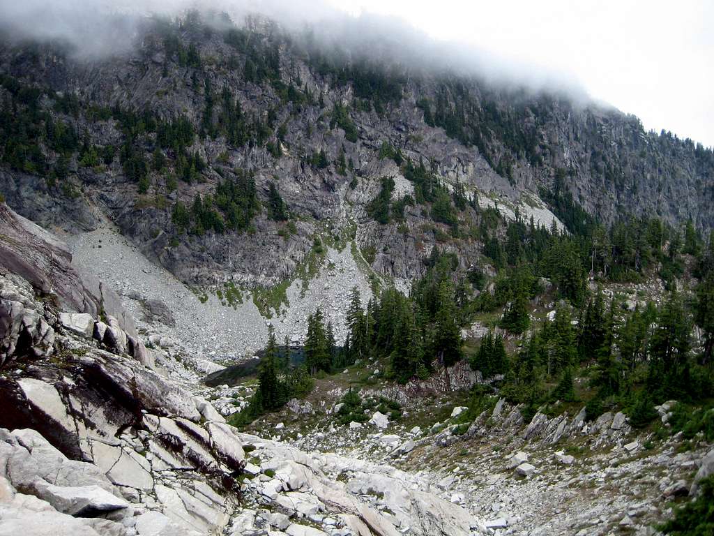
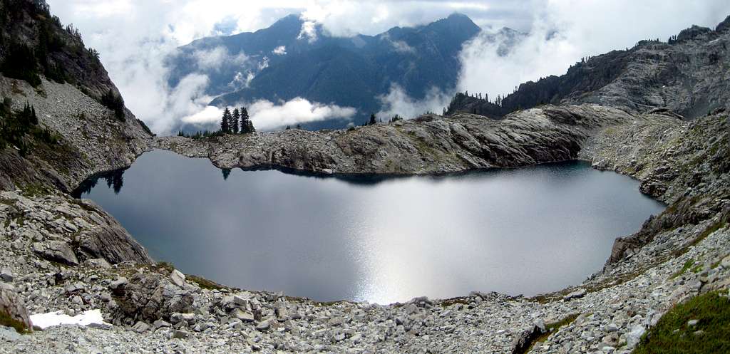
Now travel S/SW toward a 5850' saddle that lies just south of Pt. 6208 - a faint trail will start you out in the right direction. You should not have to drop more than 100' in the process.
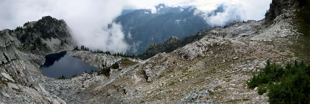
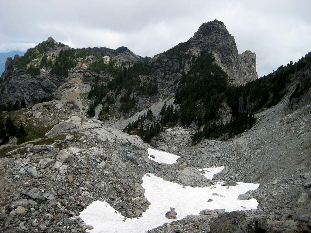
From here, you should be able to study Malachite Peak's summit block (the pointy one in the middle). Your objective will be the first minor saddle west of the summit (marked with an 'X' in the photo below).
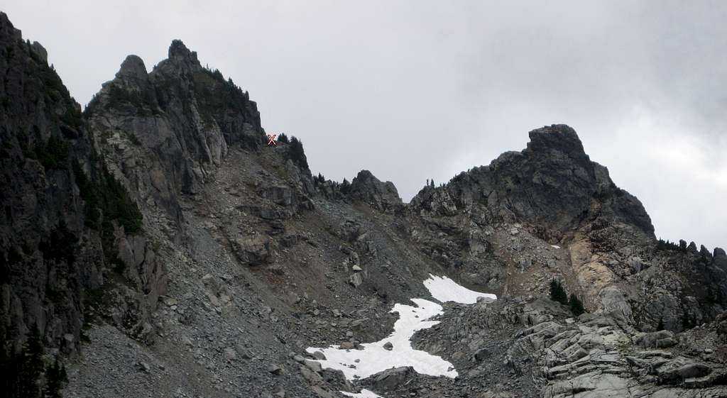
Getting to the 'X' will involve a little class 2/3 scrambling, and unfortunately, another 100' elevation drop. From the 'X', one has the choice of breaking left for 50' of class 4 on the north side of the summit block (we were discouraged by some wet moss), or breaking right to a fairly clean gully on the west side (again, about 50' of class 4).
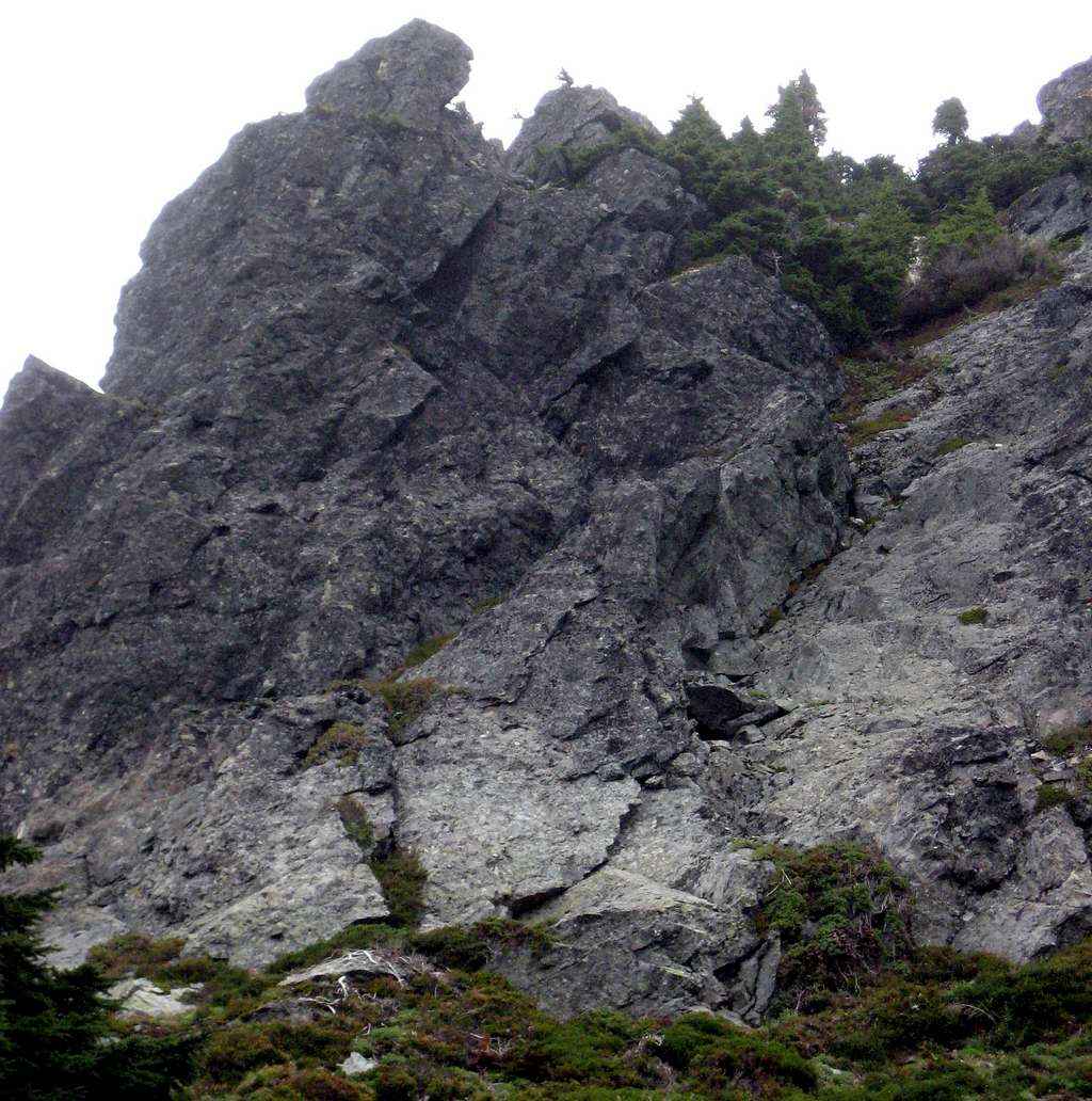
We did not feel the need to belay on the way up, but we did make use of 100' of 6mm rope for the descent.
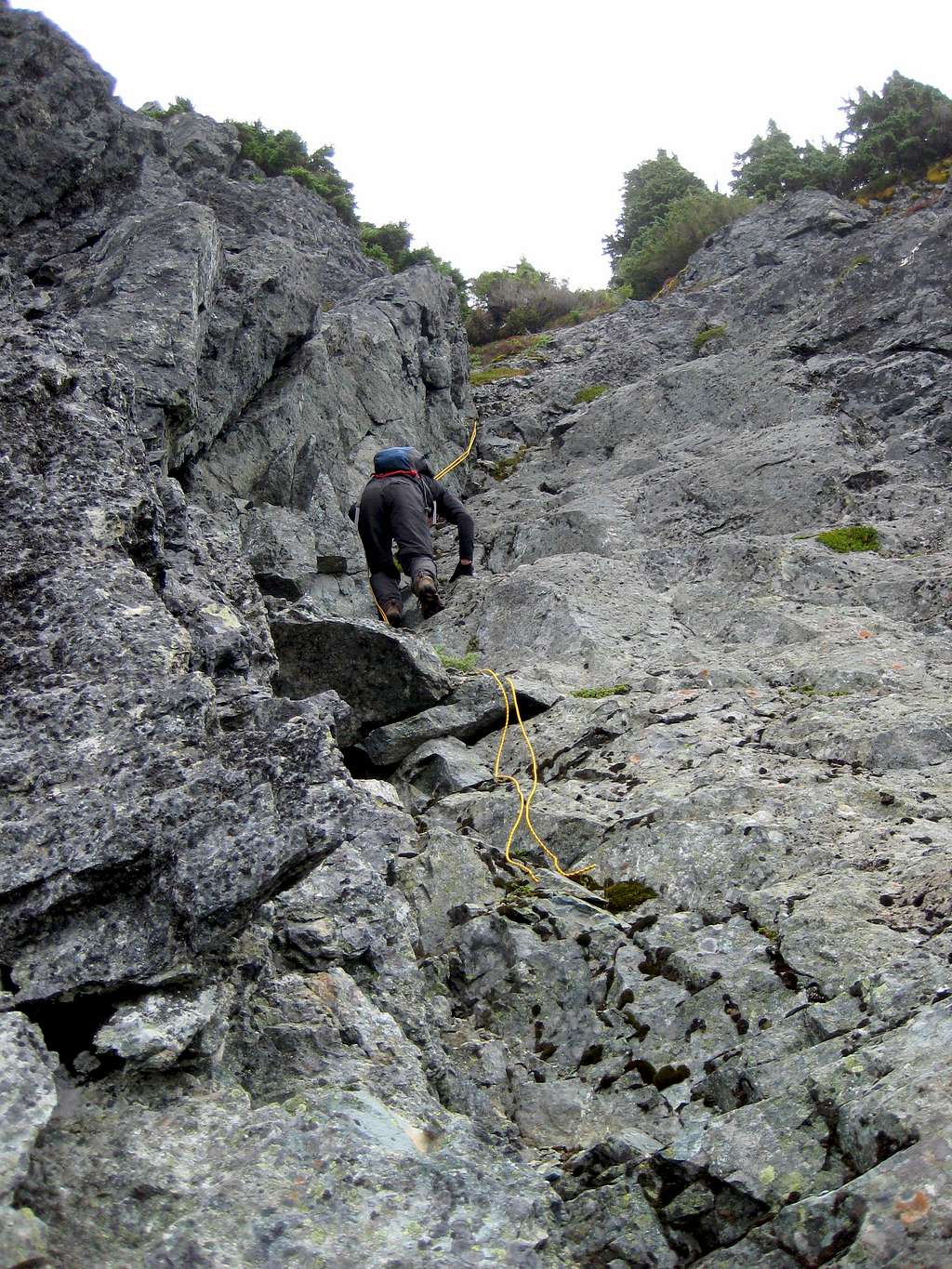
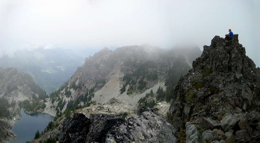
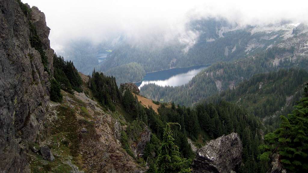
Clouds hindered our views a bit, but it was still a very enjoyable and worthwhile trip.

Essential Gear
I would highly recommend 100' of thin rope for handline or rappel on descent.

