Intro/Stats
Mt Oklahoma (13845')
Deer Mtn (13761')
"K49" (13535')
UN 13736
Mt Champion (13646')
13.8 miles RT/6600' gain
From Halfmoon Creek 4WD TH (10500')
Slideshow
I've made it a goal to try and work on some of my remaining centennials this summer since I only hit one last year. The Oklahoma to Champion traverse has been on my to do list for quite awhile, but other things seem to get in the way. This is a long hike above treeline and I had pretty low expectations that I would be able to pull this off with a 60% chance of rain in the forecast at the beginning of monsoon season! There's not too many hikes where you can climb 5 peaks in the top 300 in one day, so it was worth a shot.
My morale took a hit when it started raining about 30 minutes from the trailhead. The skies were looking gloomy. Oh well, maybe I can at least sneak up Oklahoma and call it a day if things looked bleak. The last 1/2 mile of Halfmoon Rd. was a bit rougher than I remembered. Maybe it was because I had only hiked it before and it was still dark.
Oklahoma to Deer
I set out at 5:30am under overcast, uncertain skies. It felt great to be hiking in summer trail runners, no gaitors, and a small pack for once! There was only one other car at the trailhead, which was a surprise since this is the same TH as the s.w. slopes route on Massive. The trail parallels North Halfmoon Creek up the drainage, which was roaring from all of the recent rains. I was hoping the stream crossing higher up wouldn't be a problem!
I made good time up the trail, uncertain of how long the weather would hold. I followed the trail past the turnoff for Massive to 11740'. I found the cascade mentioned on one route description and started across a log before backing off because it was too slick. I found a much easier crossing above the cascade where the creek narrowed to just a couple feet wide. I thought I was in the clear with stream crossings, but two more would plague me at the end of the day.
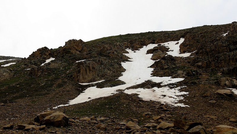
The bushwack to treeline was easy and the way became obvious as I hiked west up a steep bench, then traversed below the cliff bands guarding the s.e. slopes. I found an obvious weakness to the left of a lingering snowfield, following a faint trail.
The slope laid back as I reached the east ridge, but there was still a surprising amount of snow along this mellow ridge. I postholed in rotten snow for a bit and hoped it wouldn't be like this all day! It nicely firmed up the higher I got as the visibility dropped a bit when clouds engulfed me.
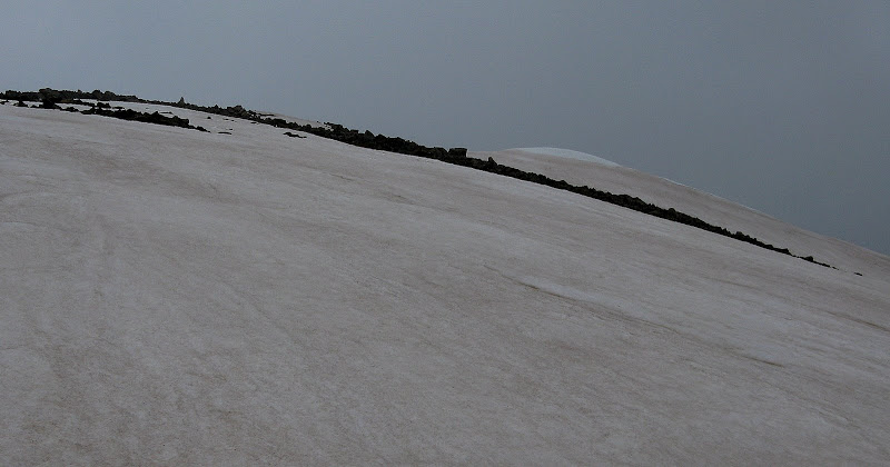
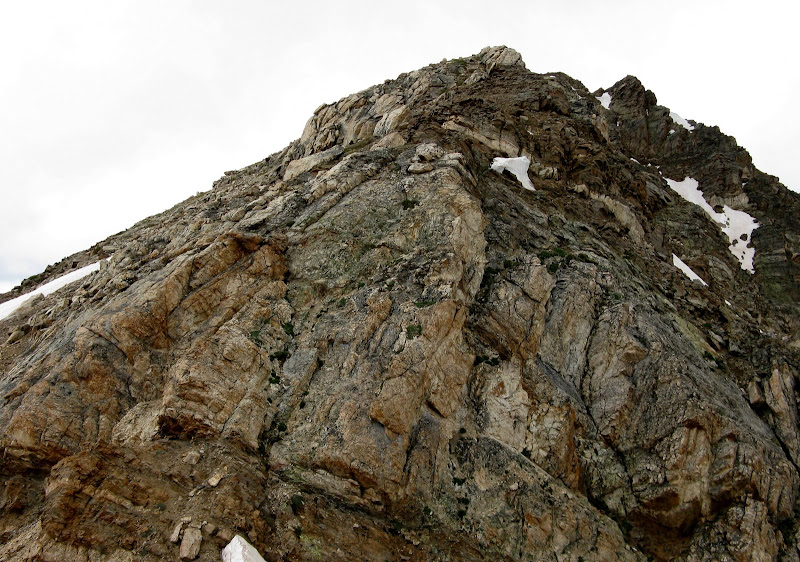
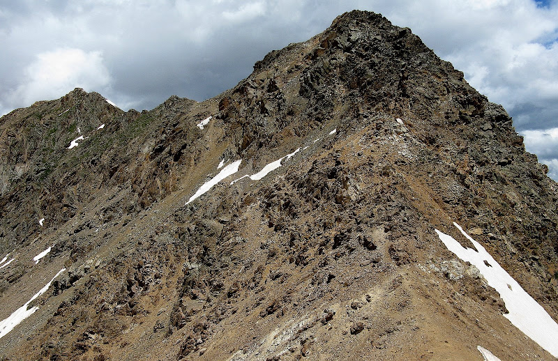
Nearing the summit of Oklahoma:
I topped out at 8:13 and stopped long enough to sign the register. Ken Nolan was the last to sign on the 30th as he had came over from Massive. Not wanting to be the highest object in the clouds, I decided to wait and take my first break at the saddle with Deer.
The clouds quickly lifted and I could see Deer off in the distance. The descent of the class 2 s.w. ridge of Oklahoma was a bit tedious on wet, lichen covered talus. I took my time and took a much needed break to refuel for the 940' push up the steep n.e. ridge of Deer. The good thing about this traverse is there a plenty of bailout options if the weather turns. Clouds were all around, but nothing looked threatening yet.
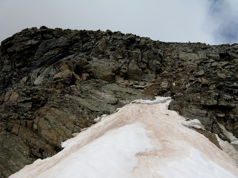
Deer was the toughest peak on the day and offered some route finding challenges to keep the scrambling at class 3. The ridge is mostly class 2 until the last 200 vertical or so. I crossed a couple of old snowbridges along the ridge and climbed a short class 3 section before topping out on the false summit.
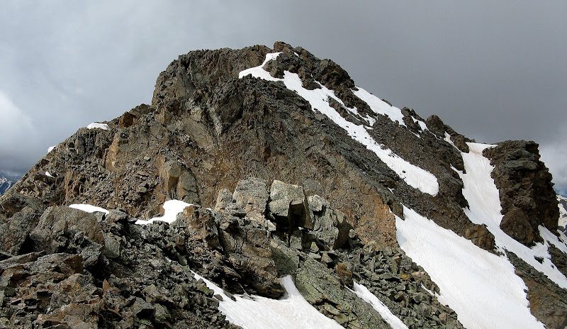
The view to the summit from the false summit is a bit discouraging, but it all worked out.
I scrambled to the left of a sharp rib of rock, then crossed over to the north side of it before the scrambling exceeded class 3. This avoided steep snow on the north side of this rib.
Once above this, I squeezed up an old moat to avoid more steep snow and scrambled up the summit block. Deer is not your typical Sawatch talus heap!
Once again, I stayed long enough to sign the register as the weather was still looking iffy. I noticed a couple of hikers high on the n.w. ridge of Deer as I left.
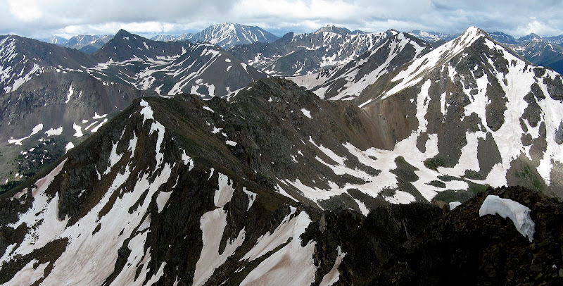
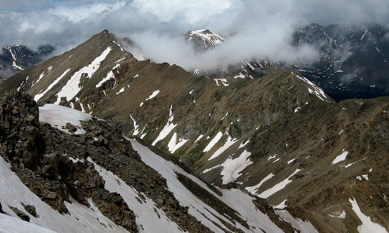
A long way over to 13736 (far right) and Champion (just left of 13736):
Deer to Champion: Race Against the Clouds
The south ridge of Deer provides some decent scrambling, the crux of which is a short class 3 wall just above the saddle with Pt 13445.
K49 is a short side trip off the ridge to the east that took a bit more time than expected. It's an easy class 2 stroll to K49's summit along its west ridge. The only drawback is you will have to reclimb Pt 13445 on the way back.
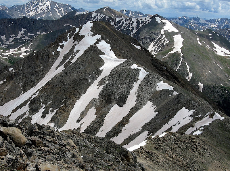
The west ridge of K49:
It was just a bit past noon when I summitted K49 and I took a much needed break here for the slog to 13736. It was looking like there was a chance the weather would hold to make it over to Champion! I reclimbed most of Pt 13445 and skirted below the top 40 feet or so once I was above some steep snow. The traverse down to the 13736 saddle featured many ups and downs and a loose class 3 downclimb near the saddle. I tried to stay at or near the ridge crest when I could.
The 2nd sustained class 3 section:
The wind began to pick up and clouds began to fill the valleys to the n.w., so I picked up the pace and motored up 13736 as quick as I could.
Looking back to Oklahoma (poking out of clouds) and Deer as clouds advance:
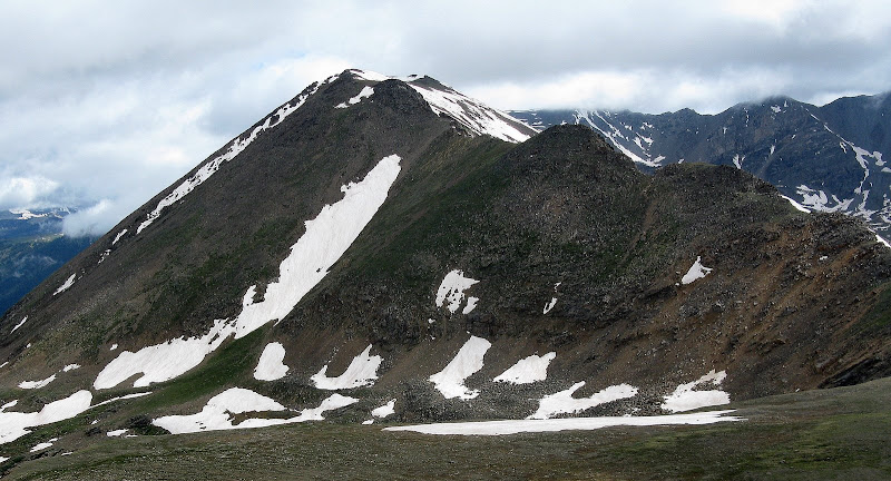
I was relieved to make it up 13736, and it was clear that the weather would now hold long enough to finish out the traverse to Champion. Champion is only a gentle 300 foot climb from the saddle and it was nice to save the easiest one for last!
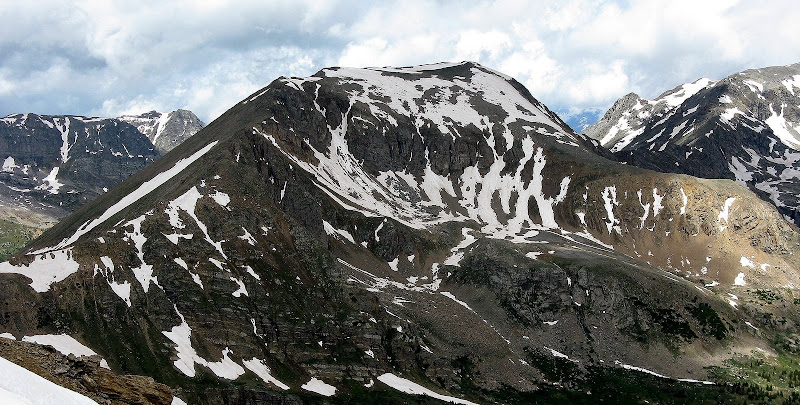
Champion from 13736:
Dark clouds were getting closer as I summitted Champion, so I pretty much went over it without stopping and spotted a nice scree chute to descend quickly down to the Halfmoon Creek drainage. It was very wet and boggy down here, but I managed to avoid the worst of it. I caught the road above Champion Mill and thought I was in the clear, or so I thought!
It rained lightly for a bit, but not enough to break out the shell. The road crosses the creek 3 more times and 2 of which were not exactly trivial! I bashed through some willows to avoid the deepest part of the 2nd stream crossing, but it was a futile effort to keep the feet reasonably dry. The road then crosses the main stream right before arriving back at the TH. This last crossing was knee deep, so needless to say I ziplocked my camera and cell phone this time! I made it across the frigid water without wiping out and was happy it came at the end of the day, as I arrived at 5:18. This hike was a fun way to kick off the summer scrambling season!
Oklahoma from K49:


Comments
Post a Comment