|
|
Mountain/Rock |
|---|---|
|
|
43.73110°N / 114.126°W |
|
|
11650 ft / 3551 m |
|
|
Overview

The Pioneer Triumvite consists of Hyndman Peak, Old Hyndman Peak, and Cobb Peak. These are three very impressive peak all towering over a gorgeous basin. Sitting at 11,650', Cobb is the lowest of the three, but is still Idaho's 35th highest peak.
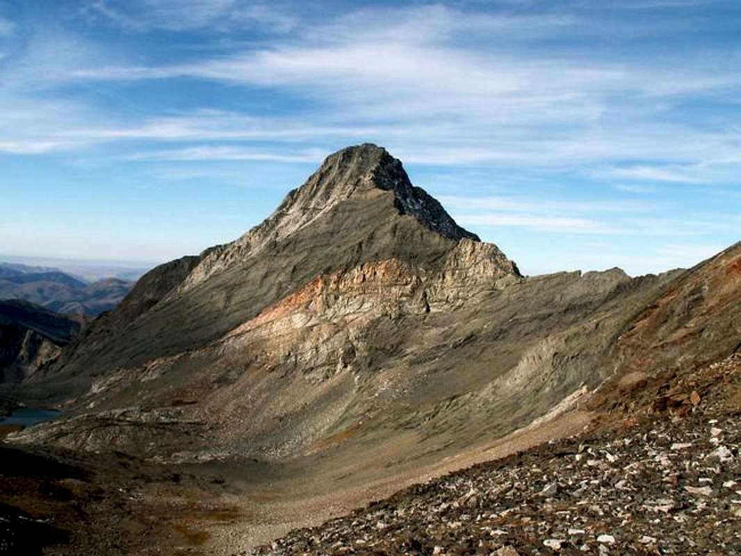
Because Cobb Peak sits just south of the main crest of the Pioneers, it stands out most of all. Cobb's most well known feature is its massive southwest face, which gains 3,400' in one mile. Its south face is made up of multi colored rock, towering cliffs, sub-alpine brush, and countless rotten gullys that cut the face.
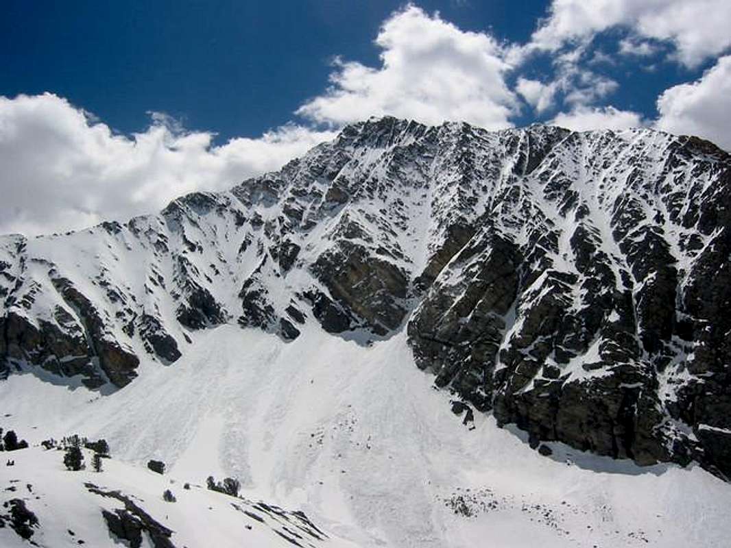
Cobb Peak's north face is its best kept secret. It has been described as one of the most enticing and difficult snow climbs in all of Idaho. The face drops 1,800' straight down into Hyndman Basin. it is truly awe-inspiring.
The summit of Cobb Peak is very exposed and uneasy to stand on. A summit cairn has not formed because of the rough nature of the area and summit register has undoubtedly blown away in the past few years.
The majority of climbers bypass Cobb Peak for the higher, yet less impressive, Hyndman Peak. However, because of its boldness, and location to Hyndman, Cobb sees more traffic than a usual Idaho Peak.

This mountain is not for the novice climber. Cobb Peak will test your endurance, route finding capabilities, and rope-free climbing to the max. To quote my favorite guide book, Idaho, A Climbing Guide, and Tom Lopez, to climb this mountain is a "great adventure."
Getting There
Drive 4 miles through the town of Triumph on the East Fork Road until the road turns to dirt. Half a mile after the changeover, the road splits. Go left.
This much improved dirt road follows the North Fork of Hyndman Creek. The first 4 miles are very easy going, while the last 1 mile to the trailhead is a little rough at most in spots. Four-wheel drive is not required.
Red Tape
No permits are longer required for access to Cobb Peak.
There is a well marked sign for where snowmobiling is not allowed in winter.
Just before the trailhead, a large beautiful home resides high on a hill. This is Pni Ranch. Please respect this ranch and the folk who own it, they graciously allow us to continue use of the access road to the trailhead.
When To Climb
The north face of Cobb holds snow well into the late summer months to provide excellent snow climbs throughout the year.
The west ridge is usually snow-free by late-June. However, if there is snow remaining in the gully (it is easy to tell from East Fork), the route is much more difficult.
An out of season climb would extremely dangerous because of avalanches, crevasses, and frequent surprise snowstorms. It has been done before but details of the journey are marginal.
Camping
For some, the most practical ways of ascending peaks in this portion of the Pioneers, is camping.
Because of the long approach, many usually sent up camp either in Hyndman or Big Basins below the peaks, or camp at the ample space at the trailhead.
There are no campgrounds along the approach but nearby ones include
Mountain Conditions
Because of Cobb Peak's isolated location away from the main crest of the Pioneers Mountains, conditions are unusually harsh on this mountain.
This exposure subjects all aspects of the mountain to high winds. Also, unexpected summer snow, frequent thunderstorms, and reported some flooding down the summit gully create a Cobb salad of variety of weather.
Cobb Peak is not located near any major weather reporting stations but the Hyndman SNOTEL reporting station is located nearby, albeit 4,000' lower in elevation.
Also, this website will give you a general idea of the forecast for higher elevations in the area.


fo$lrock - Jul 7, 2006 2:42 pm - Hasn't voted
Rock fallJust wanted to point out that there can be some potential dangerous rock fall on this route. I camped along the base of the mountain for a night, and it was raining big boulders a few time during the night and day. I suggest being highly cautious on this route. The upper part of the west ridge has giant boulders that can be kicked out, if caution isn't exercised.