|
|
Mountain/Rock |
|---|---|
|
|
43.70800°N / 114.067°W |
|
|
10805 ft / 3293 m |
|
|
Overview
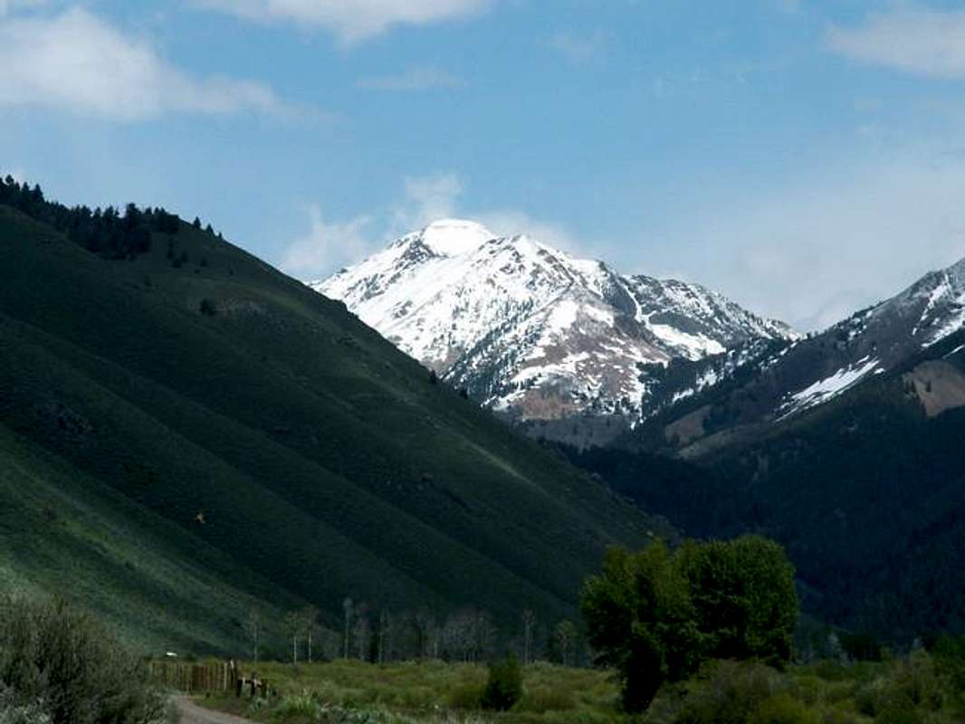
Peak 10,805' lies deeply hidden in the Pioneer Mountains of central Idaho. It is not a well known peak but is certainly unqiue and rugged.

Although not as impressive as it's surrounding Pioneer neighbors, Peak 10,805 rises apruptly out of the valley floor creating one of the many rock walls that tower over the beautiful East Fork Valley. Five spiny ridges spiral outward from the thin, arcing summit ridge, which forms the look of a starfish on a TOPO map. But perhaps what gives this mountain the most distinction is the multi colored rock that forms layers of pink and gray.
Like most peaks in Idaho, this one is rarely climbed. The fact that Peak 10,805 is not named, not a high point, and stands near some of the few popular Pioneer Peaks leaves little to be desired for those with not much climbing time on their hands.
The easiest route up Peak 10,805 also contributes to the fact that few climb it. A sustained, and tiring, class 2 climb on boulder fields leads 1,300' up from a trail pass reached by a trail. For the most part the main route is confined to scree and boulders, a few class 3 moves are required to ascend this peak.
Getting There
Peak 10,805 is located near the resort towns of Ketchum and Sun Valley, as well as near the Friedman Memorial Airport in Hailey.
Requirements For Acess
From Hailey, drive north for 7 miles to a stoplight. Turn right here and begin your long, 15 miles journey up East Fork Canyon.
The first 7 miles of this road is on gravel, first through subdivisions and eventually through an old mining town named Triumph. Shortly after Triumph, East Fork Road turns into an improved dirt road.
A major fork in the road greets you soon. A left will take you to the Hyndman Peak trailhead. Go right.
The next few miles of road are passable by all passenger vehicles and are quite nice by Idaho standards.
At mile 12, the road takes a turn for the worse. This is where excellent driving skills are necessary. Be prepared for fallen boulders, scree, and overflown stream to block the road that is already a mess. The going here is slow, 2-3 miles per hour at best.
After a short, ridiculous, climb up a boulder strewn hill on East Fork Road, a small sign will appear to your right at mile 15, reading PK Pass.
Park in a small grassy area to your left.
PK Pass
The PK Pass trail begins across the East Fork of the Big Wood River. Be careful as crossing this river in highwater years can be treacherous.
The sign indicates PK Pass is reached in 1 mile, while 1.25 miles is the actual distance. The trail quickly and steeply switchbacks out of the valley heading east.
Once you have reached PK Pass leave the trail and head north toward Peak 10,805. The terrain aprubtly changes from subalpine brush to a boulder field just below a set of cliffs.

Two, obvious, gullys cut the face of the cliffs. Both of these small gullys offer class two scrambling with some class 3 moves with very little exposure. Continue slowly boulder hopping up to Pt. 10,460. Most of the larger rocks are steady but watch out for the smaller ones, they may be loose and throw off your balance.
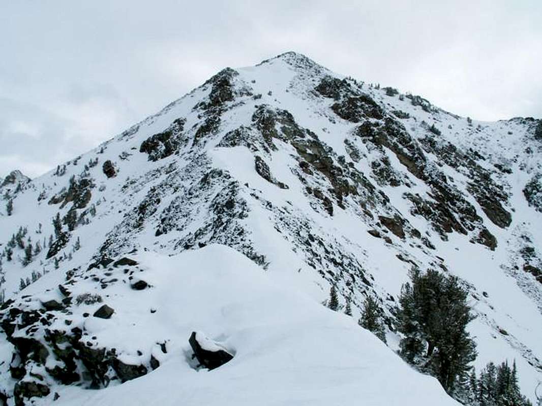
From Pt. 10,460 continure on the ridgeline that connects the two peaks. There are two spots where you may have to drop below the ridge to avoid exposure if you are not an experienced climber. Drop to the east side 50-70 feet below both sets making sure not to drop to far as it will be a difficult climb make to the main ridge.
Continue with more boulder hopping and scrambling up to the summit and enjoy!
When To Climb
A snow free climb can usually be accomplished from late June to late September.
Because of the closure of the East Fork Road in winter to around the turnoff for Cove Creek, a long approach through a canyon infamous for its large avalanches would be necessary for an ascent in winter.
Camping
There is ample room for tent camping near the trailhead. However, because of the short, steep nature of this climb, no camping is available along the route.
Shortly before the PK Pass trailhead there are two designated campgrounds with usual amenities.
Mountain Conditions
coming
Red Tape
No ATV or other off road 4-wheelers are not allowed in this area. Otherwise, no red tape or permits required for climbing this peak.


