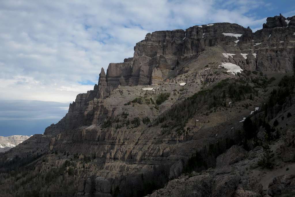
Seen from near a subpeak to the southeast.
The standard route goes up the drainage going from lower center to center right. Then you head up to where that largest snowfield is and continue up the path of least resistance to the cliff bands below the summit plateau.
The south couloir/face route follows beneath the huge cliffs, running right to that largest snowfield or left from it, depending on how one is using it.
Absaroka Range, Wyoming-- July 2014
