-
 11035 Hits
-
 70.59% Score
-
 1 Votes
|
|
Trailhead |
|---|---|
|
|
45.92241°N / 114.22494°W |
|
|
Ravalli |
|
|
Spring, Summer, Fall, Winter |
|
|
4592 ft / 1400 m |
Access to Trapper and North Trapper Peaks
From the south side of Darby, MT, drive south about 4 miles on Hwy 93 and turn right (west) onto Montana 473, also known as the West Fork Road.
Shortly after mile marker 6, and after passing the Trapper Creek Job Corps, on your right (west), you will see a big sign for the Trapper Creek Lodge(It’s the first right after the Job Corps).
Turn right (west) onto the Trapper-Chaffin road (374).
In a half mile you will come to an intersection. Stay to the left on Trapper Creek Road (5628).
After another 1.2 miles you will reach a bridge which you cross (do not follow the unmarked road to the right).
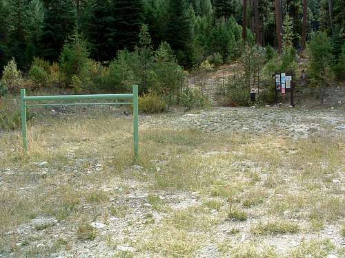
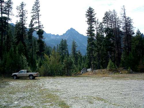
Drive another 1.4 miles to the trailhead (trail 598) where there are facilities for handling stock, but no outhouse.
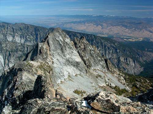
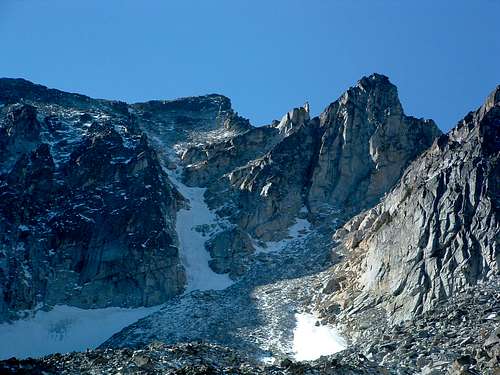
For information about the climbers' routes accessed from this trailhead, see the links included in the pictures' descriptions.
|
|
|---|


Michael Hoyt - Oct 30, 2006 9:32 pm - Hasn't voted
Re: accessThe only "currently listed" Trapper route which appears viable from this trailhead is the Northeast Couloir. Is that the one you want referenced?
Michael Hoyt - Oct 31, 2006 12:58 am - Hasn't voted
Re: accessI'll add the "Northeast Couloir" now. If more routes get posted which can be accessed from Trapper Creek, I'll add them when posted.