The 1347 ft (411 m) Valencia Peak sits 1.2 miles away from the Pacific Coast in California’s Montana De Oro State Park near Morro Bay. Although 26 ft. higher, Oats Peak rises behind (to the east of) Valencia Peak and provides less dramatic views from its summit. Starting at Valencia Peak Trailhead near the ocean, I climbed Valencia and Oats Peaks, then descended into Coon Creek Canyon going back to the ocean. I then followed the coastal trail, which gave me spectacular views of the rugged coast, back to the starting point.
Trip Report
Hiking Distance: 10.65 miles
Total Ascent: 2160 ft
My cousin Kris and I started at Valencia Peak Trailhead at 7:25 a.m. (elevation 70 ft, 270 ft away from the ocean). Valencia Peak from trailhead.
Valencia Peak from Trailhead
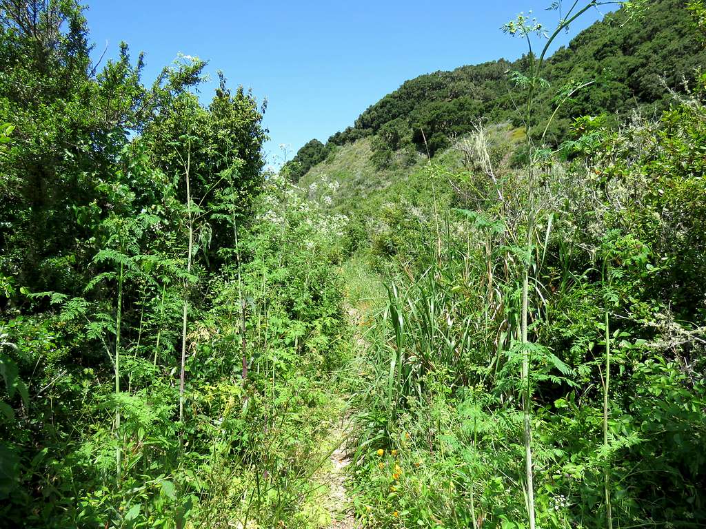
The trail must have been recently re-routed. It took a different path than what I had entered into my GPS but was otherwise well defined. The slopes were covered by a dense growth of grass and bushes.
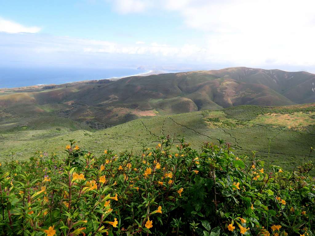
View of the ocean from the lower trail.
Pacific Ocean from lower trail
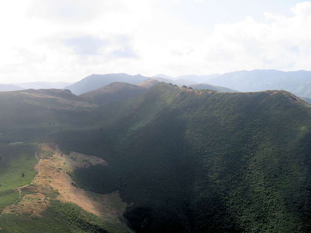
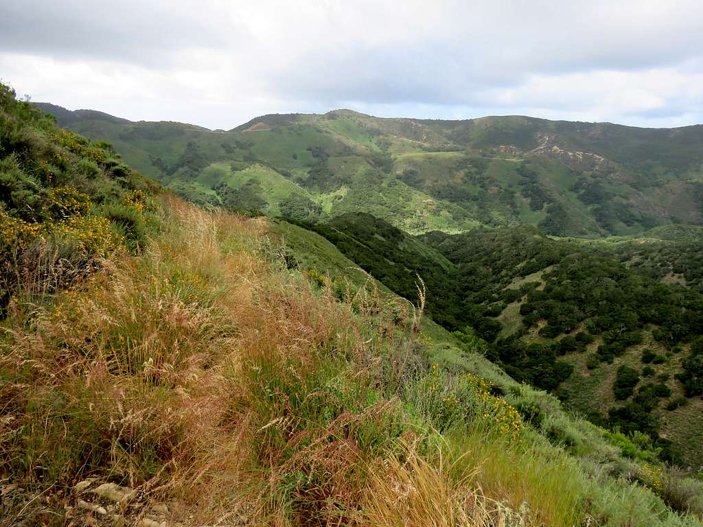
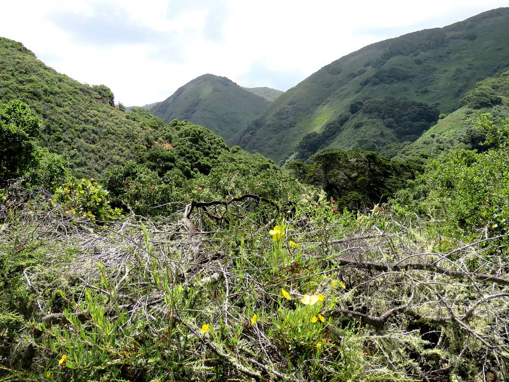
A ridgeline to the northwest of Valencia Peak appeared as a sub-peak in front of the main summit.
Valencia and what looks like a sub-peak
At around 720 ft elevation, we reached the top of the ridgeline that had appeared as a sub-peak.
Ocean from the ridgetopValencia from Ridgetop
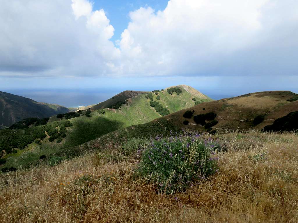
At 1060 ft elevation, we were at a split in the trail. One side went to Oats Peak and the other was a spur trail to the summit of Valencia Peak. Got on the spur trail and went 0.3 miles to reach the summit of Valencia at 8:50 a.m., 2.39 miles. The views were spectacular. Conveniently, there was a park bench on the summit.
Pacific Ocean from top of Valencia PeakMorro Rock and Bay from the summit of Valencia
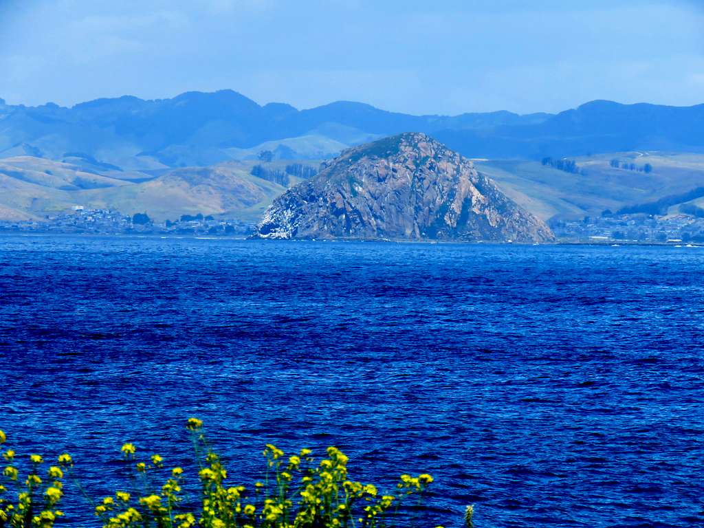
Zoomed view of Morro Bay and Morro Rock.
Zoomed view of Morro Bay & Rock from Valencia
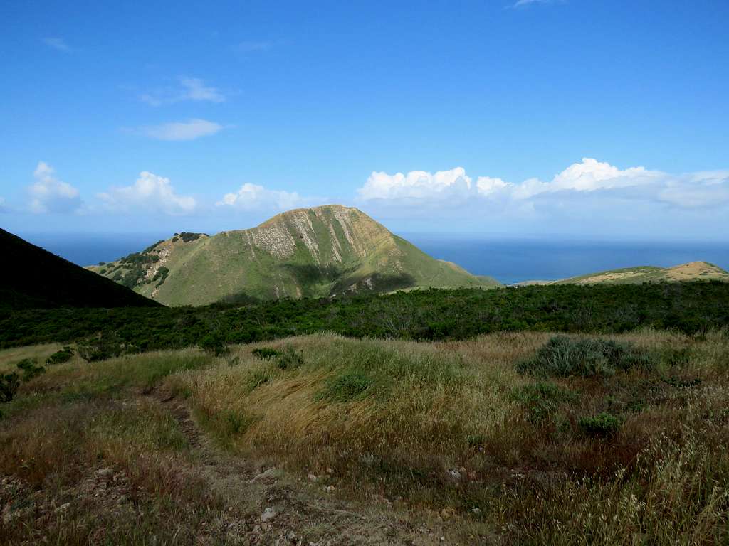
The sun was rising in the direction of Oats Peak making it difficult to see. There was a 550 ft drop on the trail from the summit of Valencia to Oats Peak.
Oats Peak from the summit of Valencia
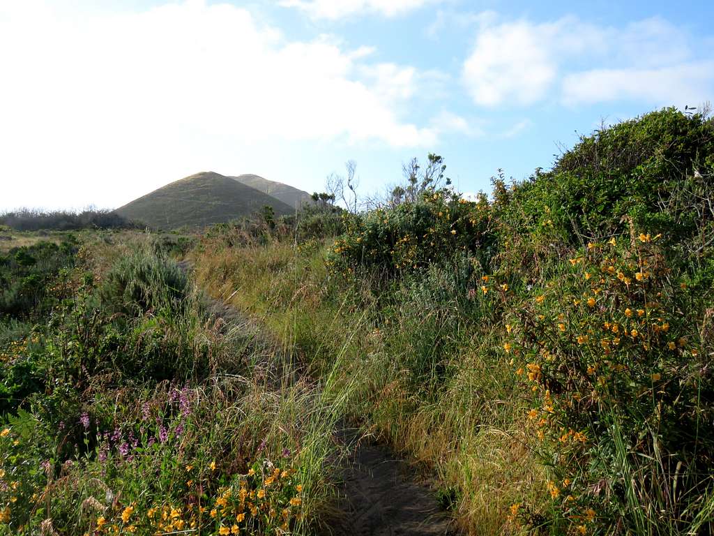
After a short rest, we left the summit hiking back to the 1060 ft split in the rail. Kris was having knee pain and said will go back to the car. I continued toward Oats Peak. The trail went down slowly toward a broad 820 ft saddle. View of Hazard Peak to the north.
Hazard Peak
Point 1334 ft from the broad saddle.
Point 1334 ft
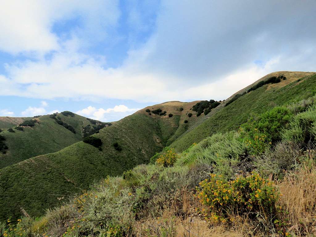
East face of Valencia Peak and the ocean.
East face of Valencia Peak
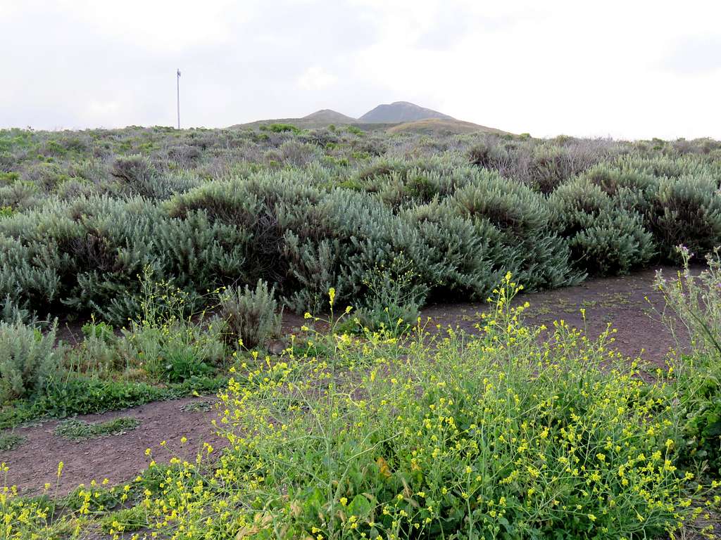
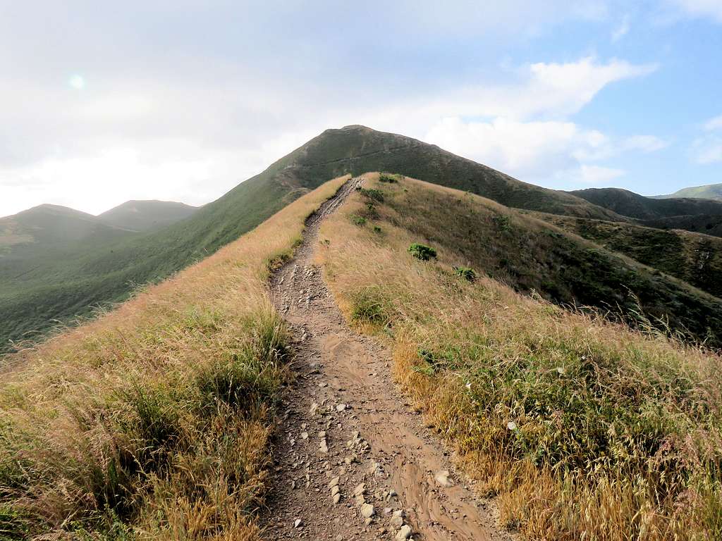
Went uphill toward the false summit of Oats Peak.
False summit of Oats Peak
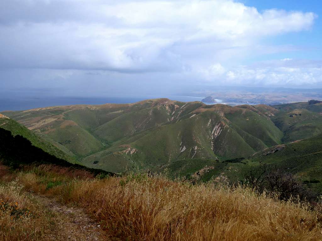
At 10:10 a.m. and 4.3 miles, reached the summit of Oats Peak. It too had a park bench.
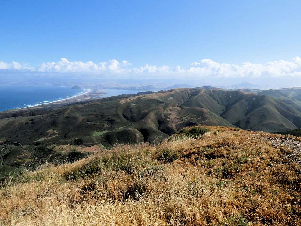
Valencia Peak and Point 1334 ft rising in front of it with the ocean in the back.
Valencia Peak with Point 1334 ft from Oats
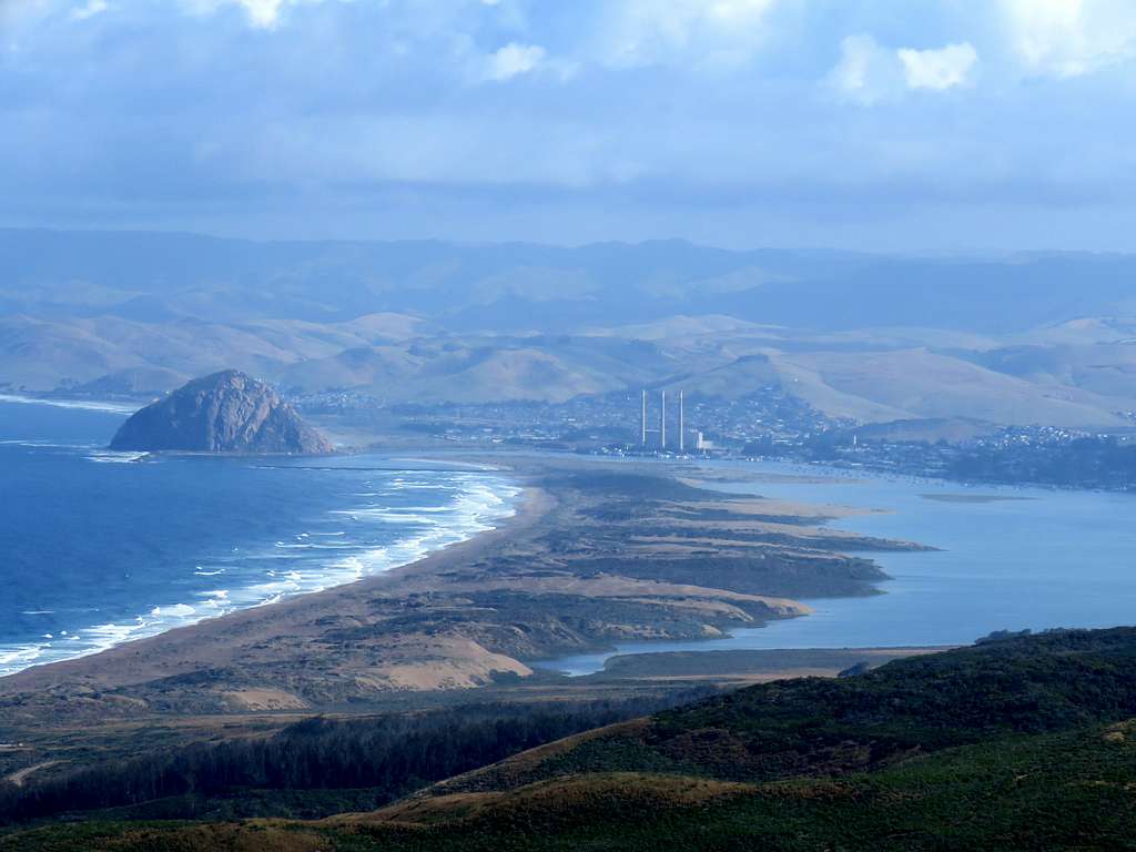
Hazard Peak and Morro Rock.
Morro Rock & Bay from Oats
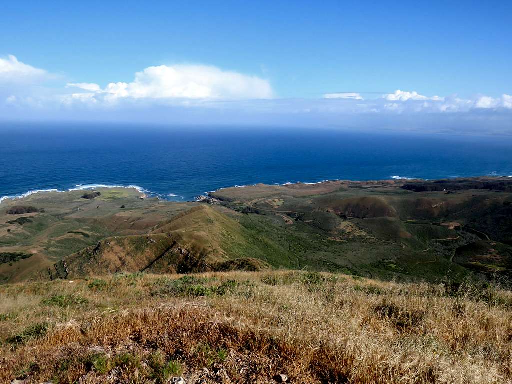
Looking south.
Looking south from Oats
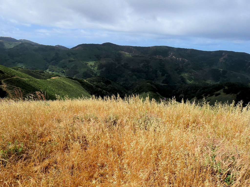
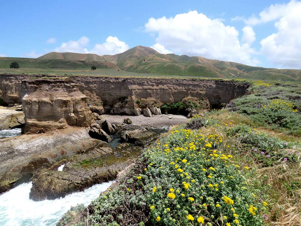
Had my lunch and left at 10:22 following the trail a short distance east and then south descending into Coon Creek Canyon. Threatening clouds were approaching from the northwest but fortunately no storm developed.
View of the ocean from the pretty grassy slopes.
Descending into Coon Creek CanyonDescending into Coon Creek Canyon
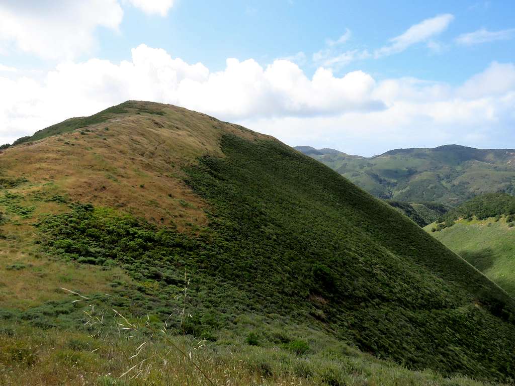
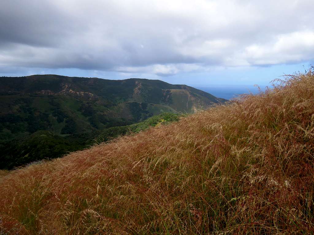
Looking back at Oats Peak and its sub-peaks.
Oats Peak on the right
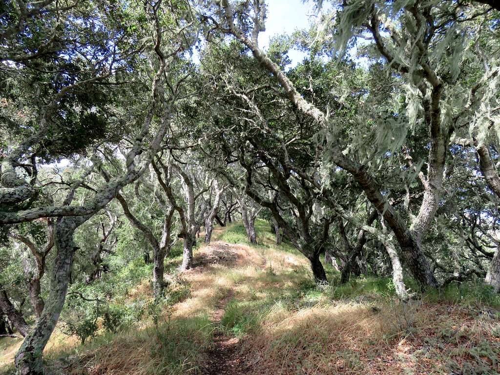
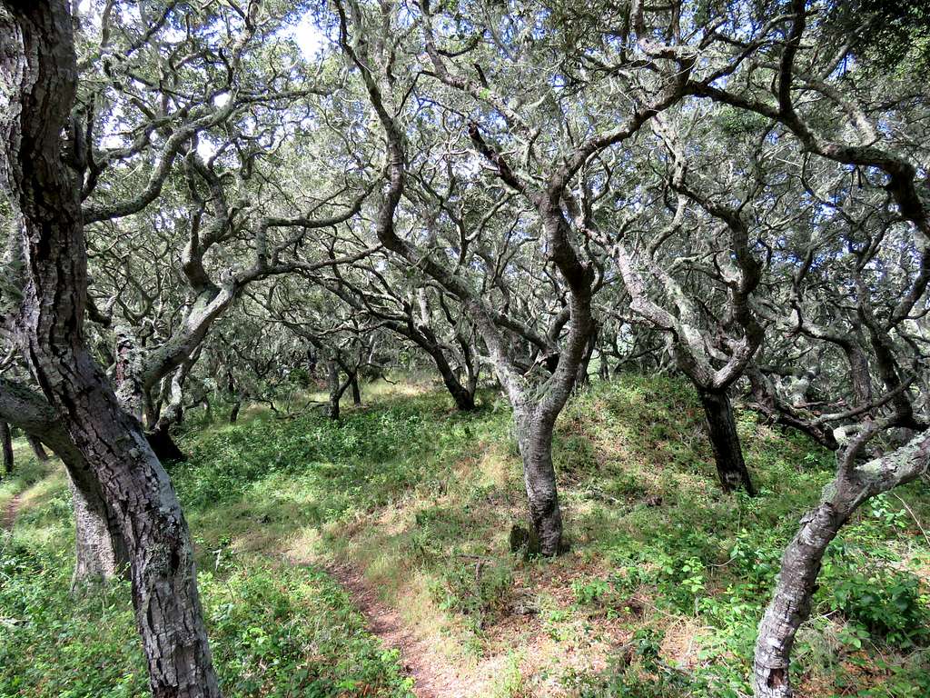
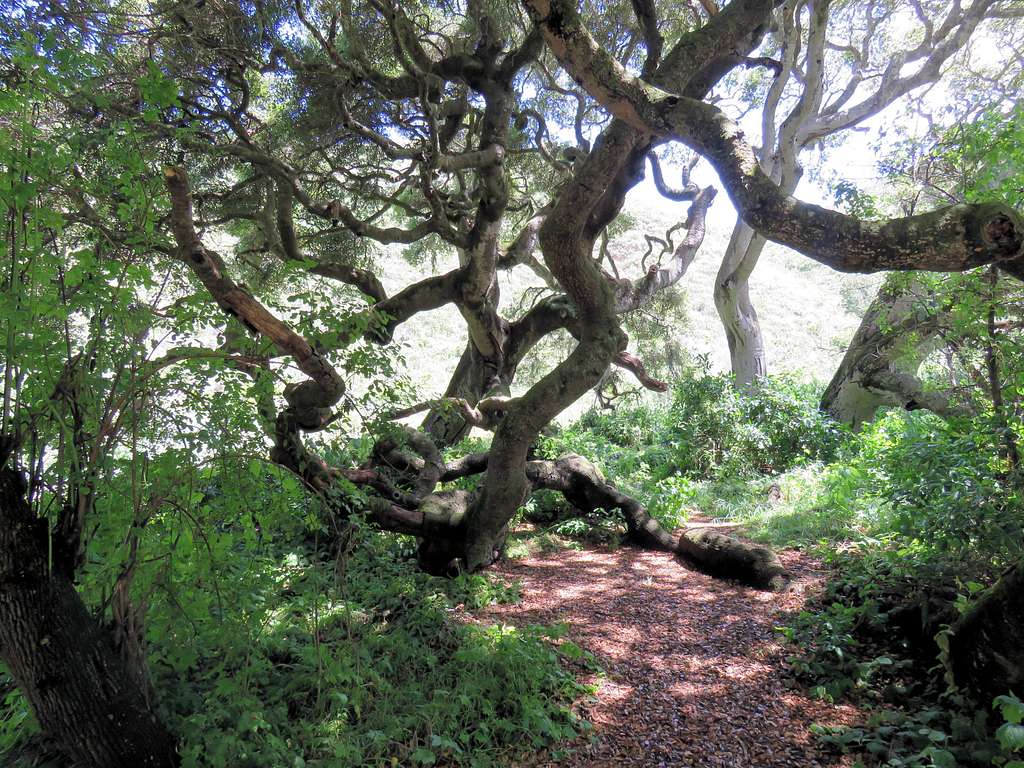
In a few places, the trail went into a beautiful forest.
Beautiful forest
Near the bottom of Coon Creek Canyon.
Near the bottom of Coon Creek Canyon
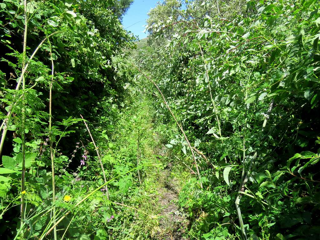
At 11:20 a.m., 5.9 miles and 300 ft elevation, I reached the bottom of Coon Creek Canyon. Followed the trail down stream toward the ocean. In some places, the grasses were quite overgrown. The thorns went through my pants and long sleeve shirt causing minor scratches.
Coon Creek CanyonCoon Creek CanyonCoon Creek canyon
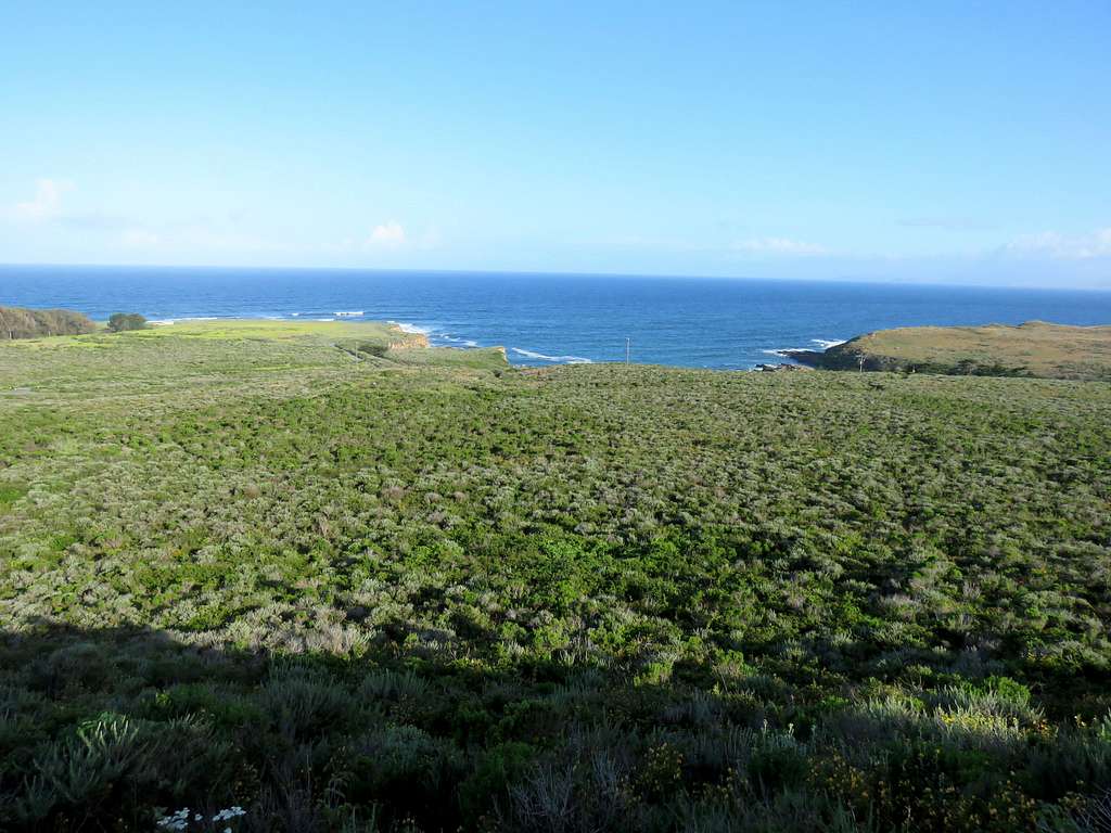
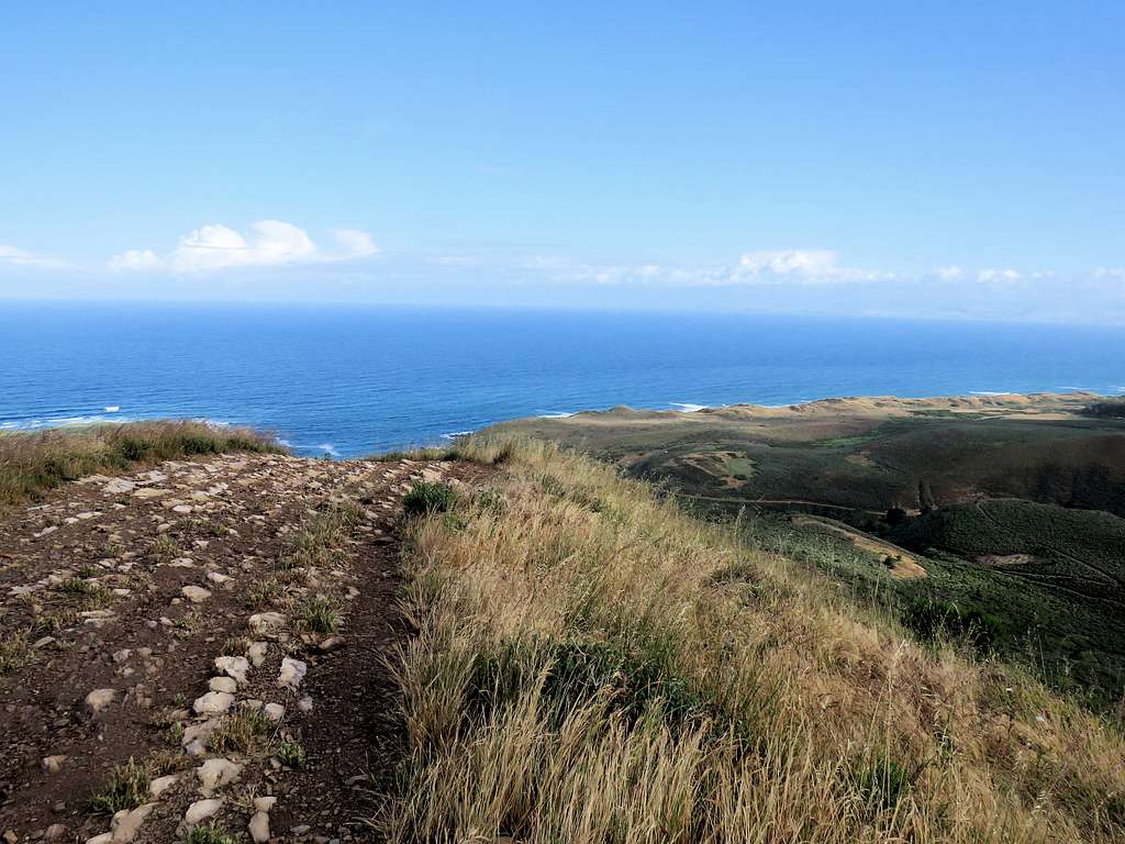
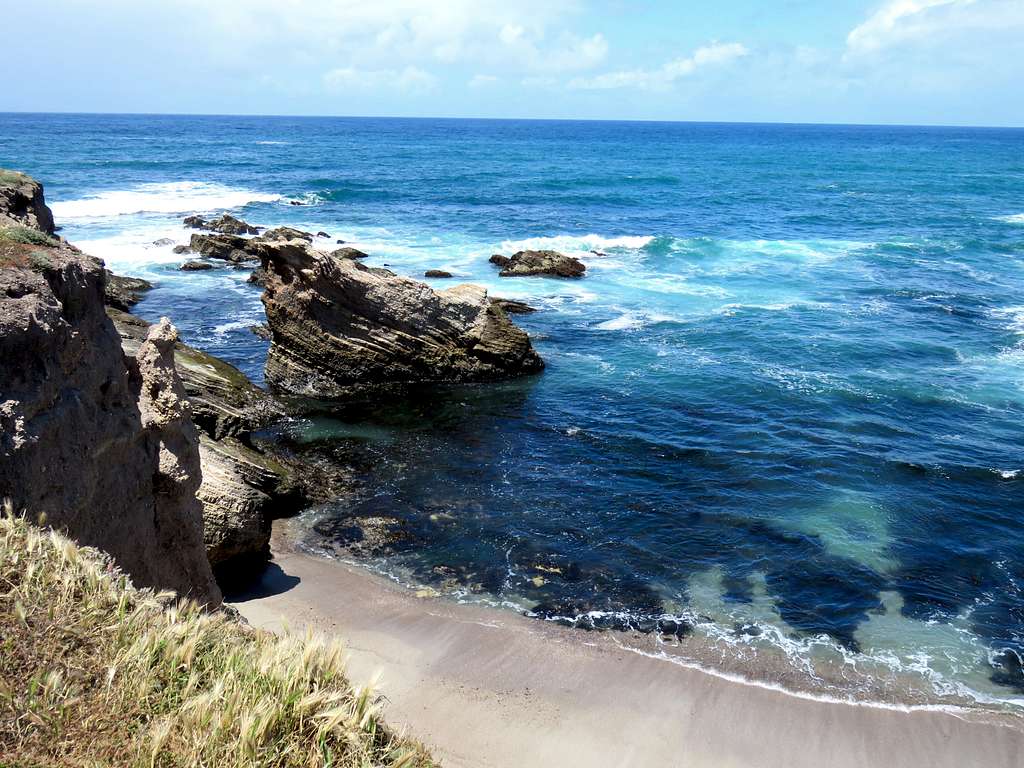
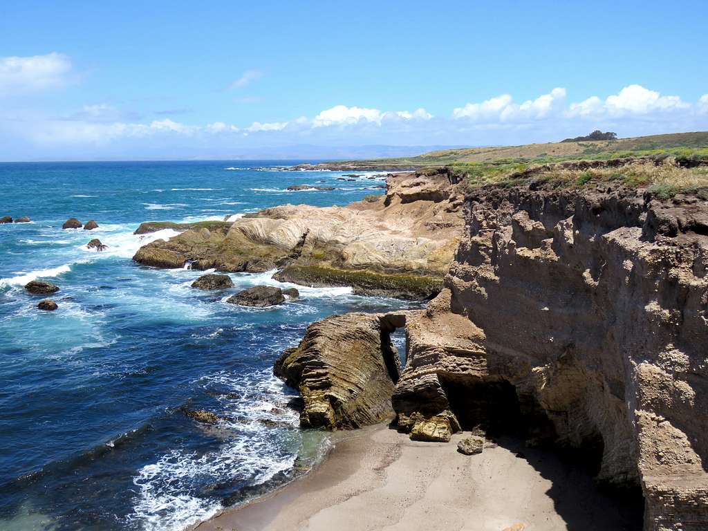
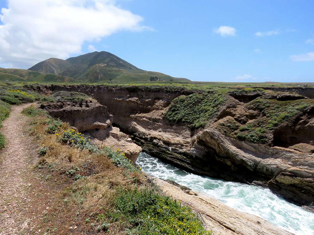
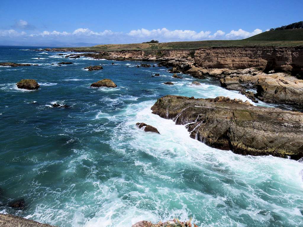
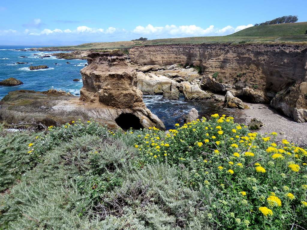
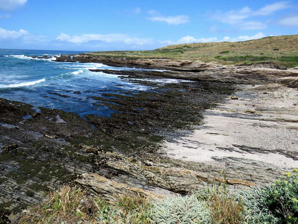
Near the end of the canyon, the trail went uphill and then exited the canyon to reach a parking area on the coastal road at 12:25 p.m. and 8.3 miles. A few people were in the parking area. They were the first people that I had seen all day. Rested there for a few minutes and then followed the trail 0.6 miles on open flat terrain to reach the ocean. Many people were walking on that trail. I was blown away by the rugged coastal scene.
Coastal TrailCoastal Trail
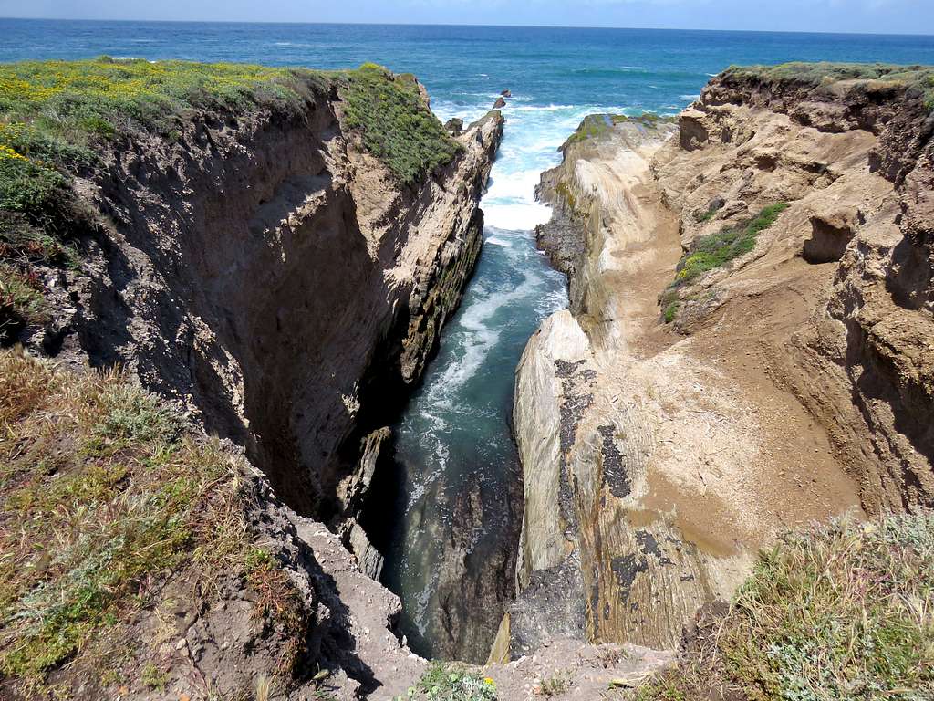
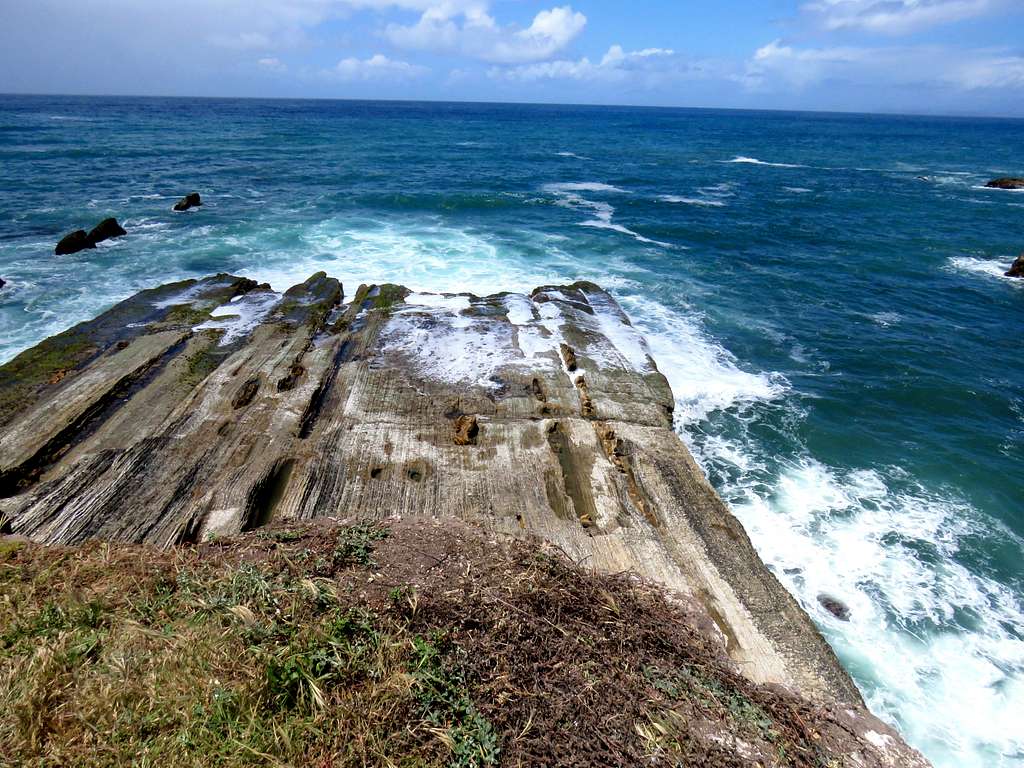
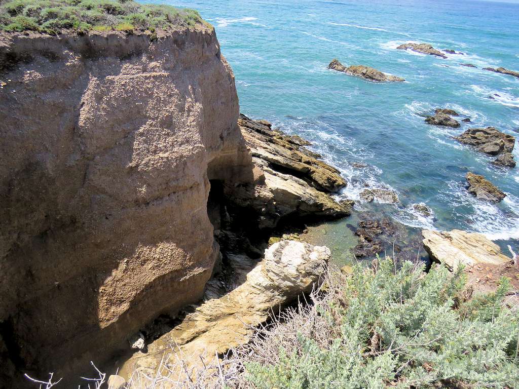
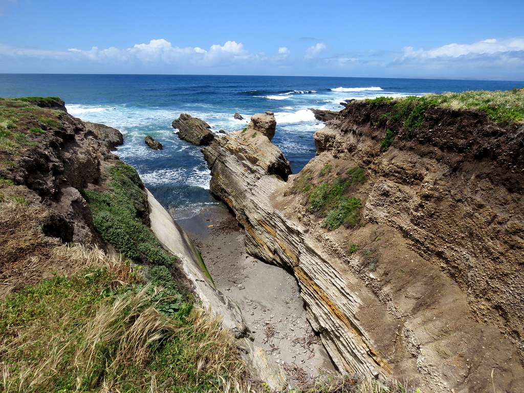
This little canyon was almost scary to look at. I hate to be in there when the wave slams you against the end wall of the canyon.
" Nomes de Cachorro Fizemos uma lista maravilhosa contando a ajuda de 5 cachorreiros que amam seus “dogs” e junto com um “brainstorm” em uma tarde de domingo, criamos mais de 1.000 nomes de cachorros para você decidir como batizar o seu melhor amigo e filhote. Confira abaixo e clique na palavra abaixo que mais condiz com o nome que procura.
(Clique nas palavras para ler o conteúdo que deseja)."
Parents refers to a larger category under which an object falls. For example, theAconcagua mountain page has the 'Aconcagua Group' and the 'Seven Summits' asparents and is a parent itself to many routes, photos, and Trip Reports.


Comments
Post a Comment