
-
 19254 Hits
-
 74.92% Score
-
 5 Votes
|
|
Route |
|---|---|
|
|
44.11242°N / 73.92383°W |
|
|
Download GPX » View Route on Map |
|
|
Hiking |
|
|
Spring, Summer, Fall, Winter |
|
|
One to two days |
|
|
Non technical long walk |
|
|
Overview
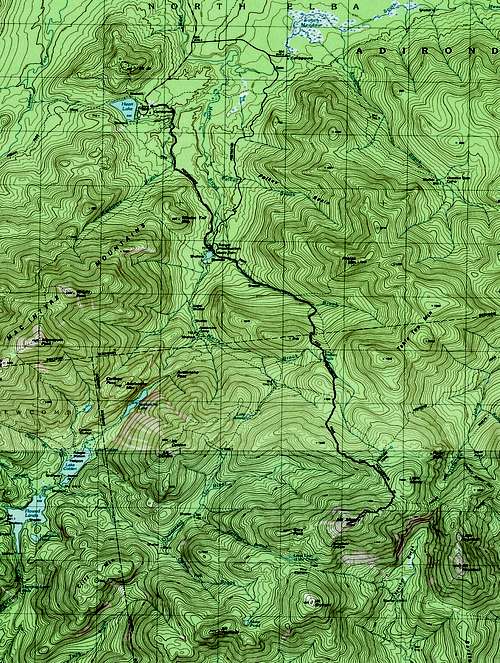
Topo map
Getting There
Get to the Adirondack Loj, I-87 to 9N to 73 to Adirondack Loj road. Park there (10$ in December 2016), and should you want to stay there for the night, you have the choice between the lodge, lean-tos and campgrounds. Car camping is forbidden there.Route Description
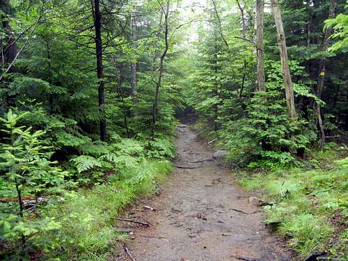
Sign the register and, from the common trail head (0 mile, 2208 ft), follow the signs for mount Marcy and the blue markers all the way to the summit. It is nearly impossible to get lost. Distances and elevations are from my GPS.
Loj to Dam
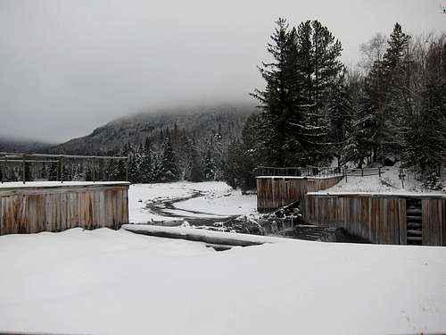
Marcy Dam
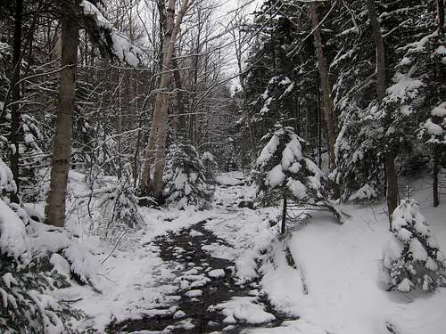
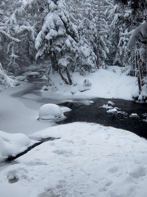
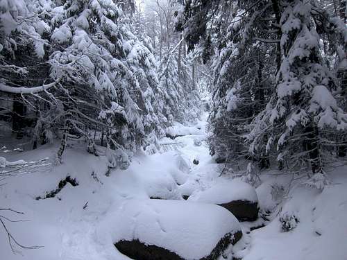
Wet in winter too
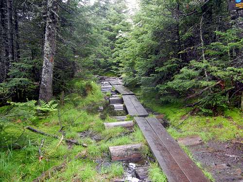
Lots of wet areas
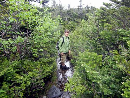
Marcy Brook
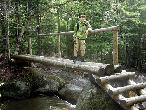
New High Water Bridge
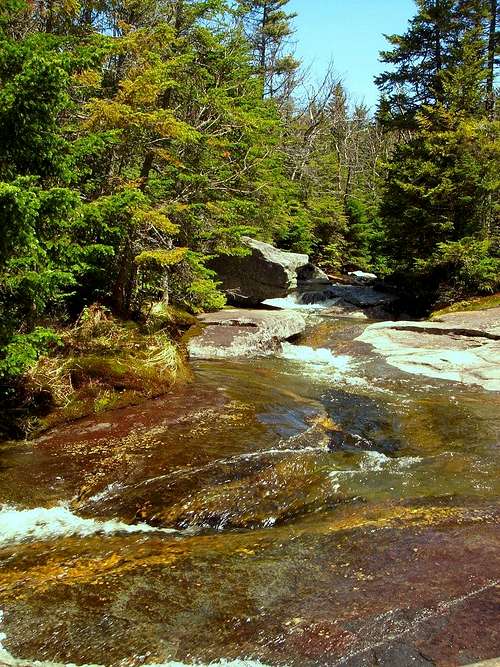
Indian Falls
Mud or rock, pick your poison
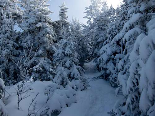
Tight quarters for skiers
Alpine Zone
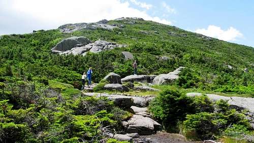
Getting Up There
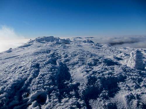
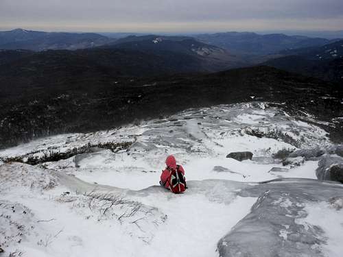
Summit view
Mt. Marcy
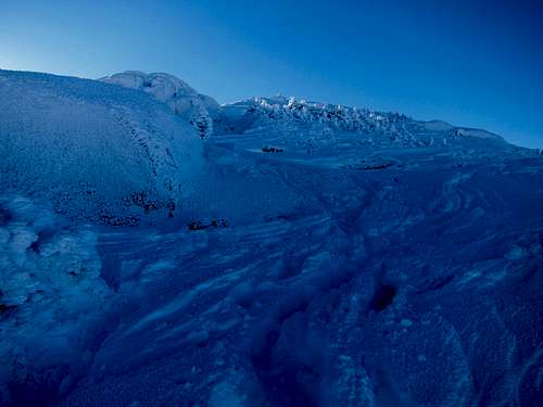
Thin snow on summit
Essential Gear
General hiking gear, bear barrel if camping. Water sources are plenty if you have a filter.
Marcy 360 Panorama
Winter Considerations
 The slope never gets above 30%, but there may be days you wish you had crampons
Snowshoes or skis are the footwear of choice from mid-December to mid-March. Traction devices may be helpful in the lower sections. Ice ax and mountaineering crampons will be overkill most of the time, but there may be a few days every year where skins or basic snowshoes will not suffice.
Above treeline, feel free to find your own trail. Below it, the slopes never get much steeper than an intermediate ski run in a resort, but the trail is much narrower and rescue is further.
If you are willing to summit in whiteout conditions, bring a compass or GPS to retrieve the trail from the summit.