
Comments
No comments posted yet.
|
|
Trip Report |
|---|---|
|
|
34.70880°N / 98.6818°W |
|
|
Download GPX » View Route on Map |
|
|
Nov 24, 2020 |
|
|
Hiking |
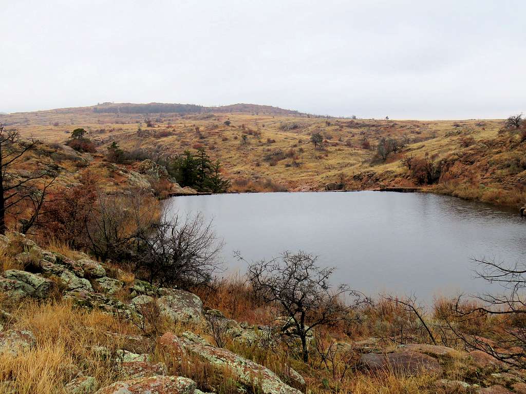
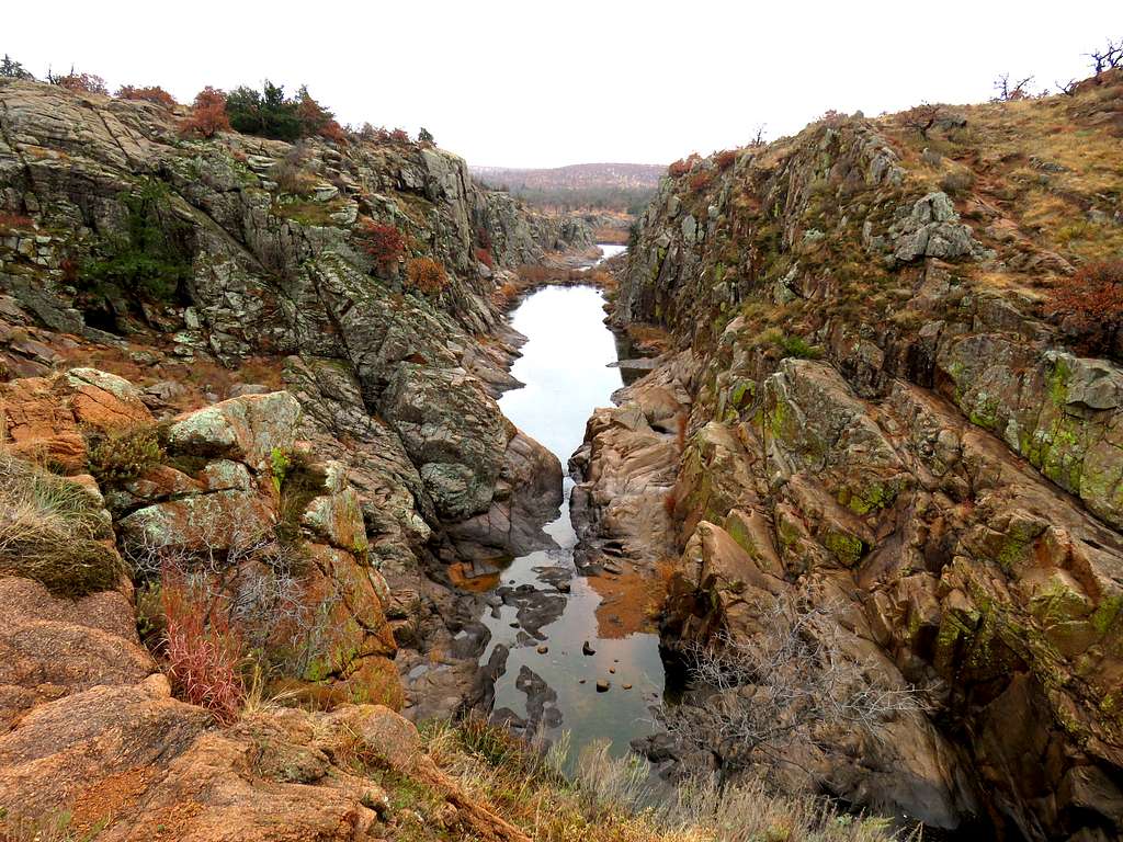
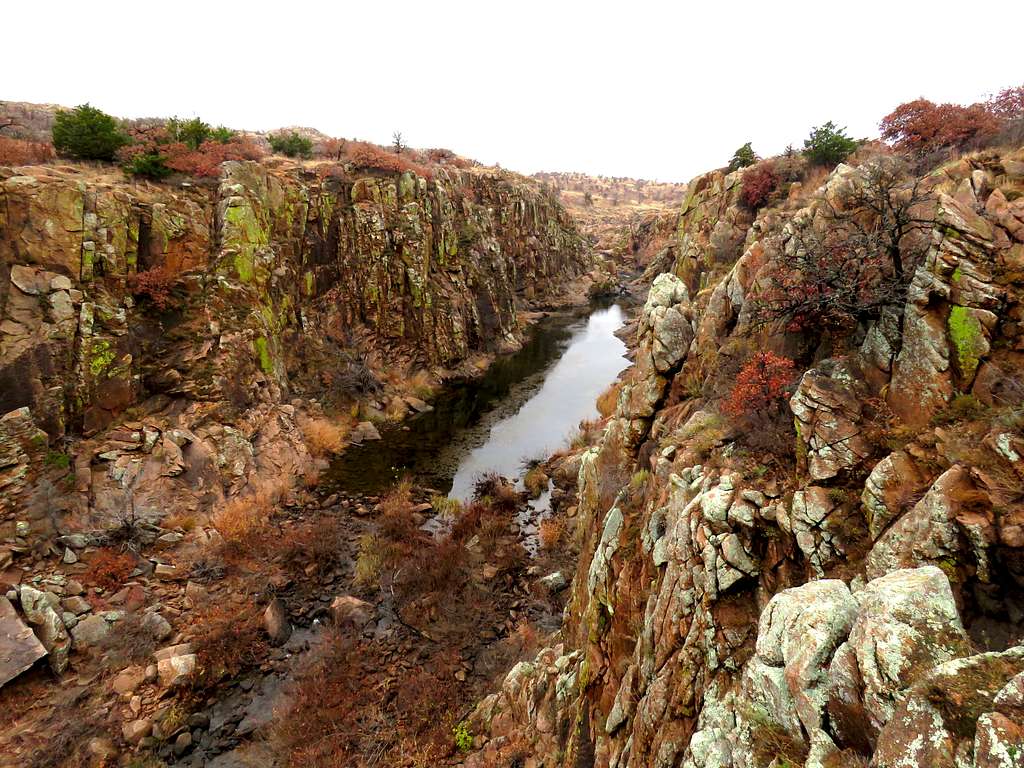
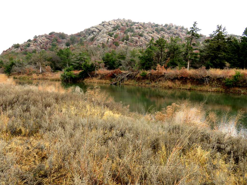
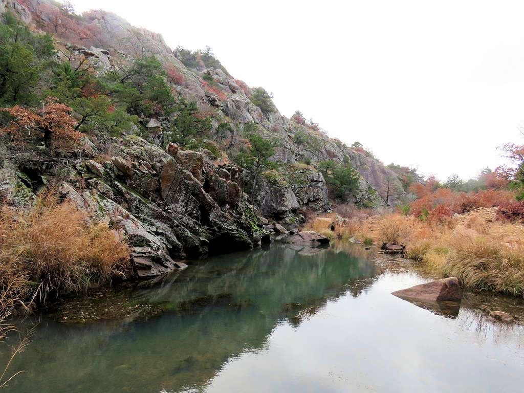
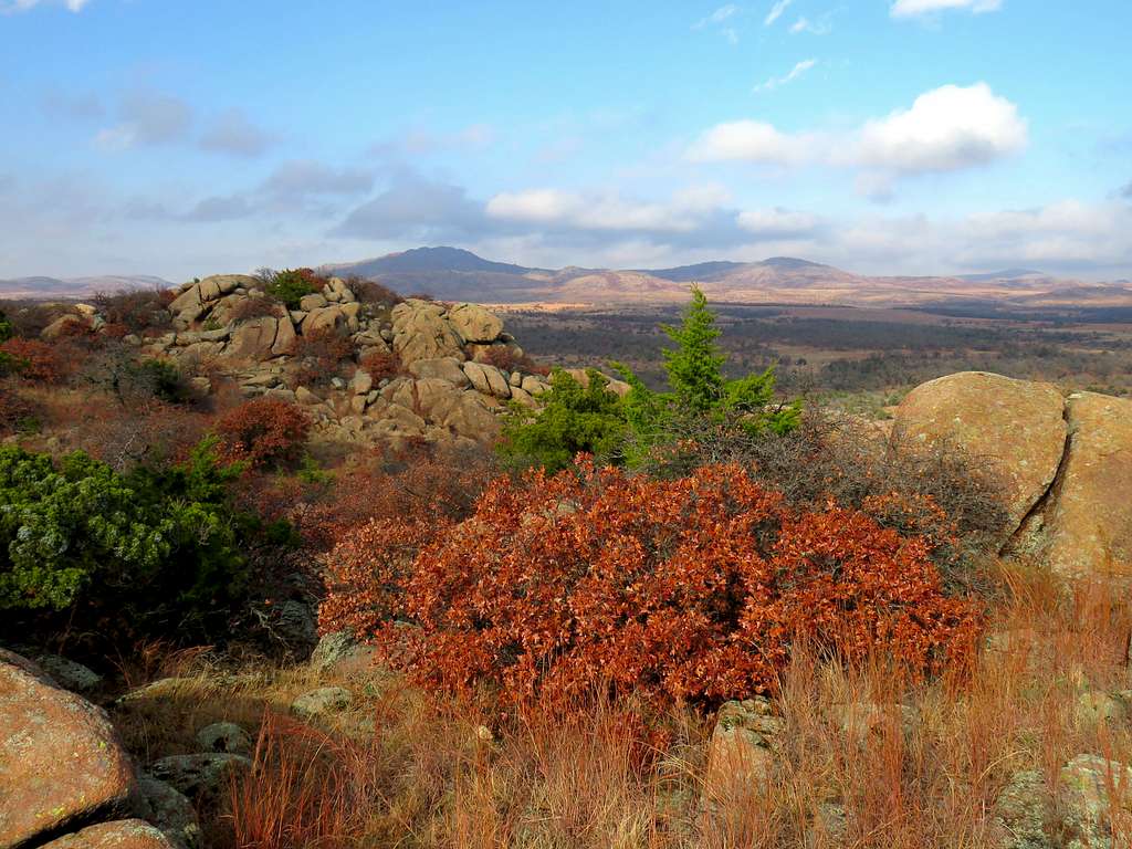
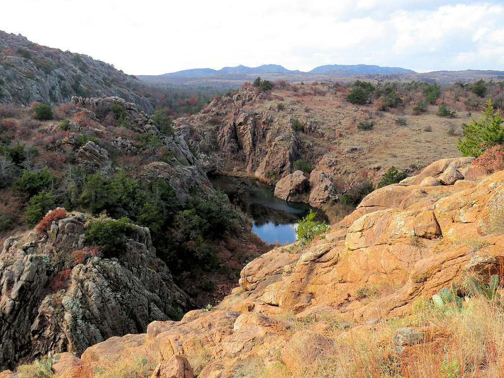
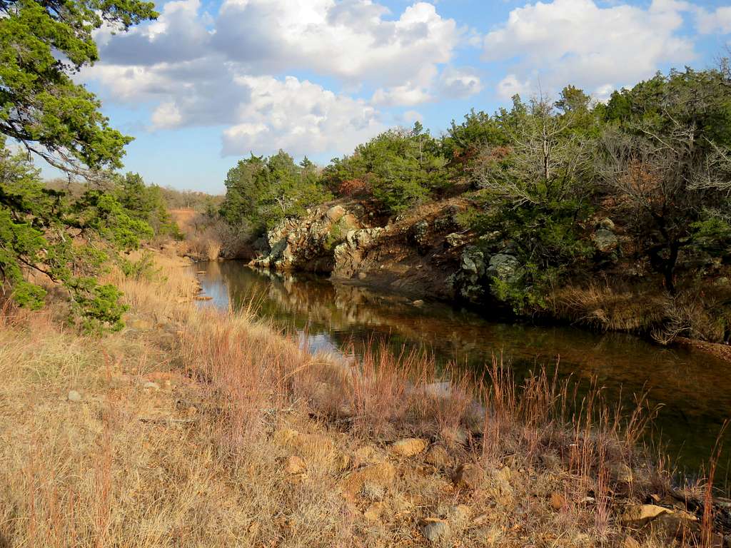
Forty Foot Hole is a canyon formed by West Cache Creek in the Wichita Mountains of Oklahoma. After exiting Forty Foot Hole, the creek flows on a plain for half a mile before entering another canyon known as The Narrows.
I had plans for extensive hiking in the area but it rained in the morning and I was not able to start my hike until 12:30 p.m. when there was less than five hours of day light left. From Lost Lake, I followed a trail over the eastern rim of Forty Foot Hole until I reached the entrance of The Narrows where standing water impeded further hiking. I then left trail and found my own way to near the top of a high point where I had good views of The Narrows to the west. Another canyon formed by Panther Creek could be seen to the east. Leaving the high point, I went down to Panther Creek and then up a nameless drainage to reach my starting point at Lost Lake.
Hiking Distance: 5.2 miles
Total Ascent: 830 ft
Maximum Elevation: 1580 ft
Minimum Elevation: 1390 ft
Tuesday November 24, 2020
Forecast called for rain in the morning but possible sunshine in the afternoon. Temperatures were supposed climb from the upper 30s degrees F the previous night into the lower 70s degrees F by the late afternoon.
I left the vacation rental house in Medicine Park, Oklahoma around noon when fog had lifted and rain had stopped. Drove around 13 miles to Lost Lake Trailhead. It was in the mid 50s degrees F and everything was wet. I started my hike at 12:35 p.m. No one was there.
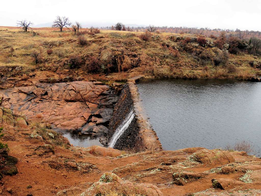
Got on a trail on the south side of the lake and soon reached the dam.
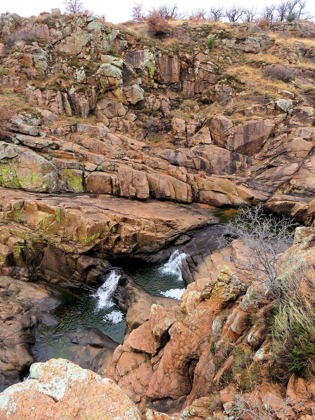
After the dam, a canyon began to form. At first, I could easily go down to the bottom of the canyon.
But soon walls began to form.
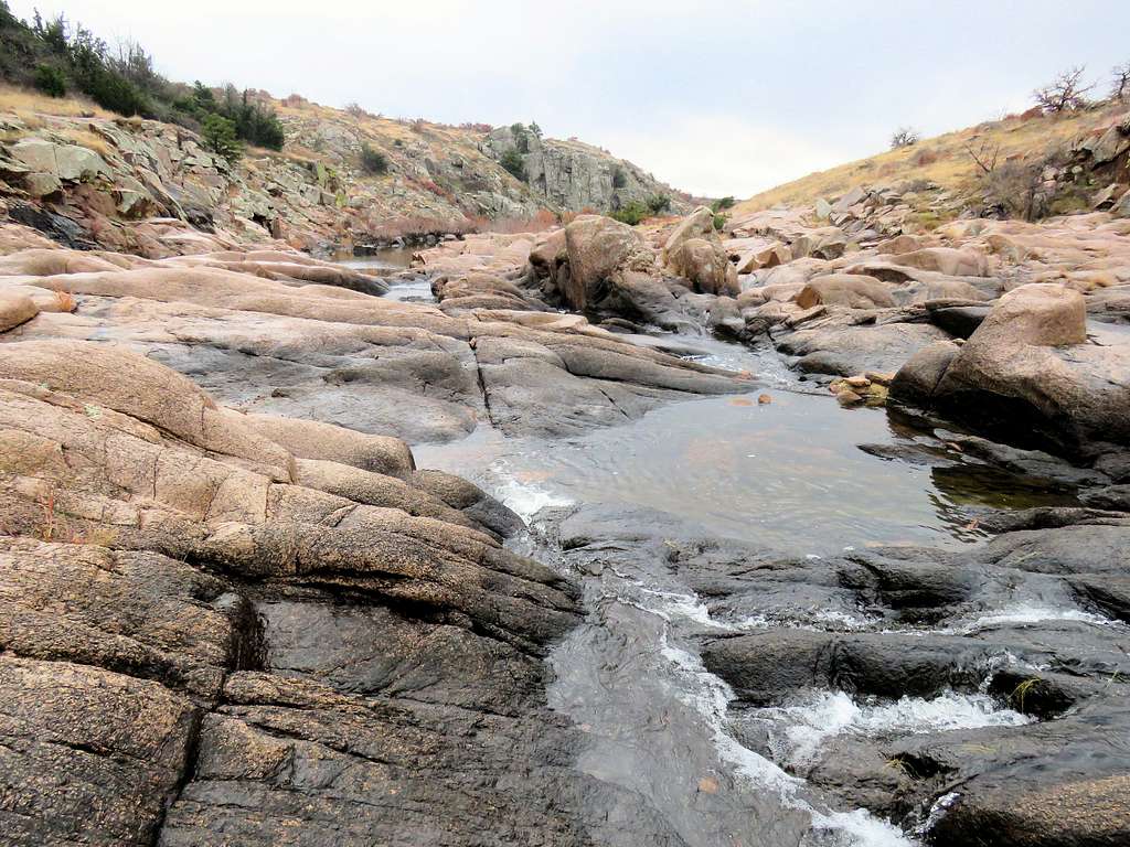
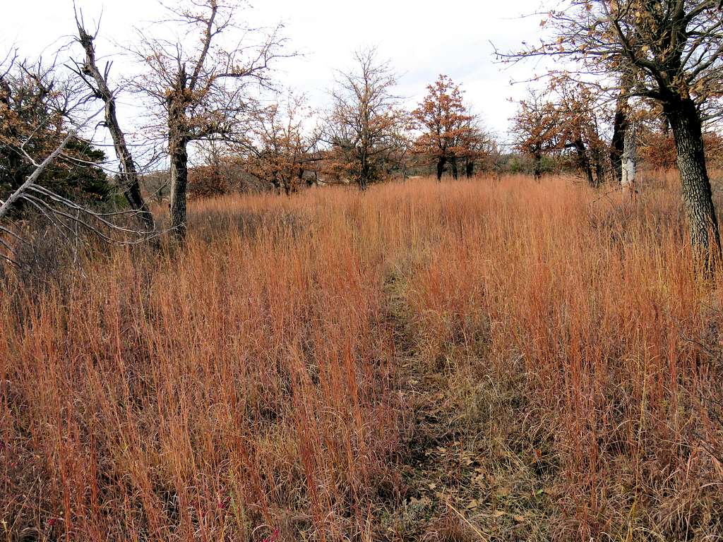
And finally a real canyon known as Forty Foot Hole appeared. The trail followed the eastern rim of the canyon.
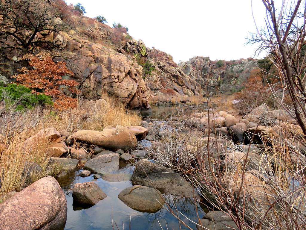
The deep canyon was no more than a quarter of a mile long. The trail soon went down to follow the creek on a flat plain.
Eagle Mountain.
I then reached another trailhead known as Boulder Picnic Area.
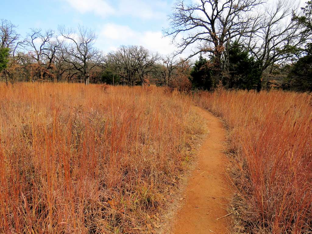
Hiked the road a short distance and then tried to walk by the creek but the vegetation was cumbersome. I finally found my way to a park-like area called Boulder Cabin. The sun began to come out. I sat on a bench and took off my rain pants since it was becoming warm and humid. I then found another trail that went parallel to the creek at some distance to it.
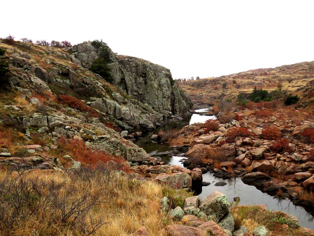
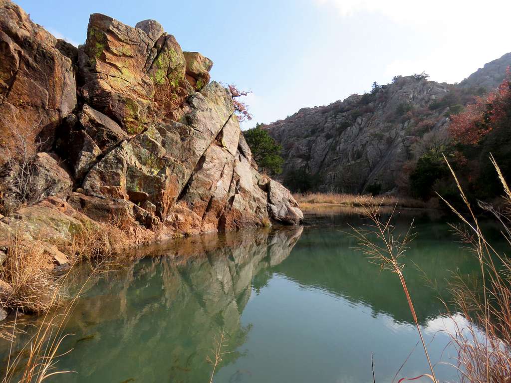
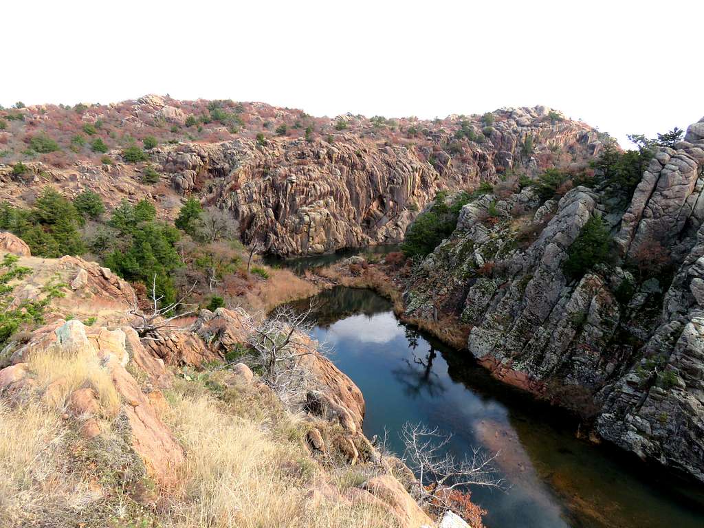
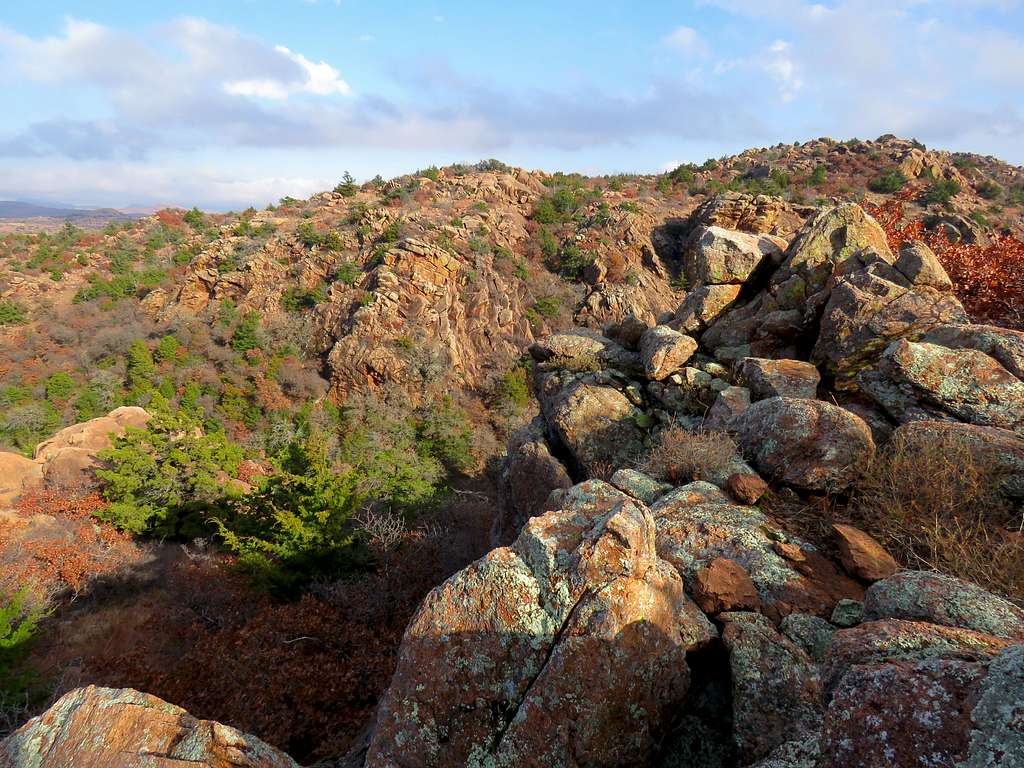
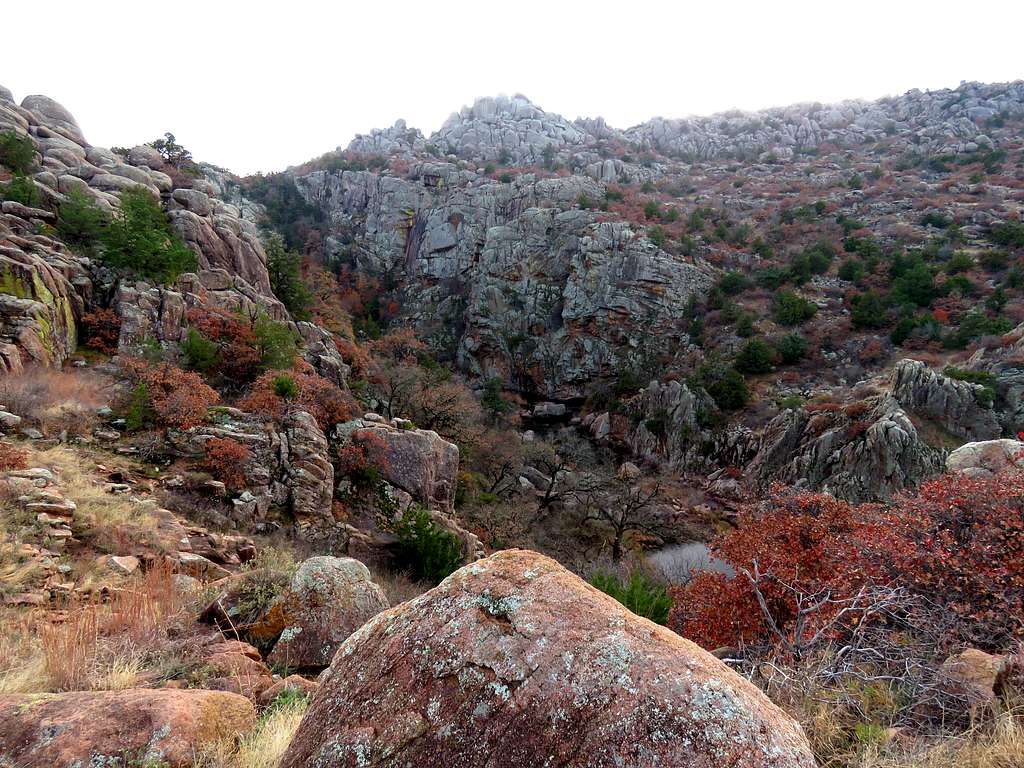
Soon was at the start of The Narrows.
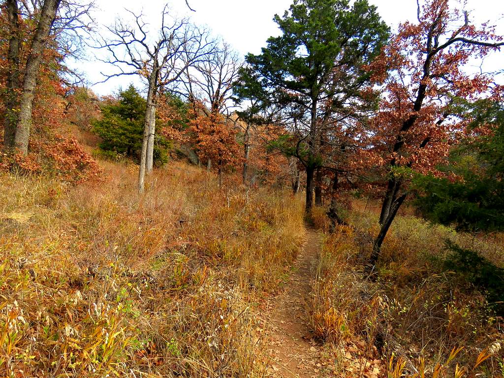
I followed a beaten path up a forested slope.
The path dead ended into the narrows a little downstream from where I had been earlier.
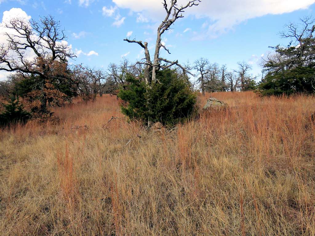
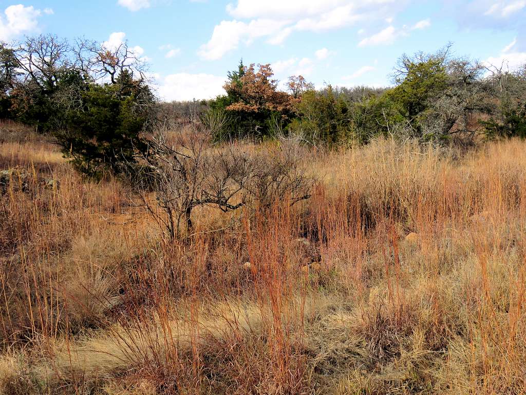
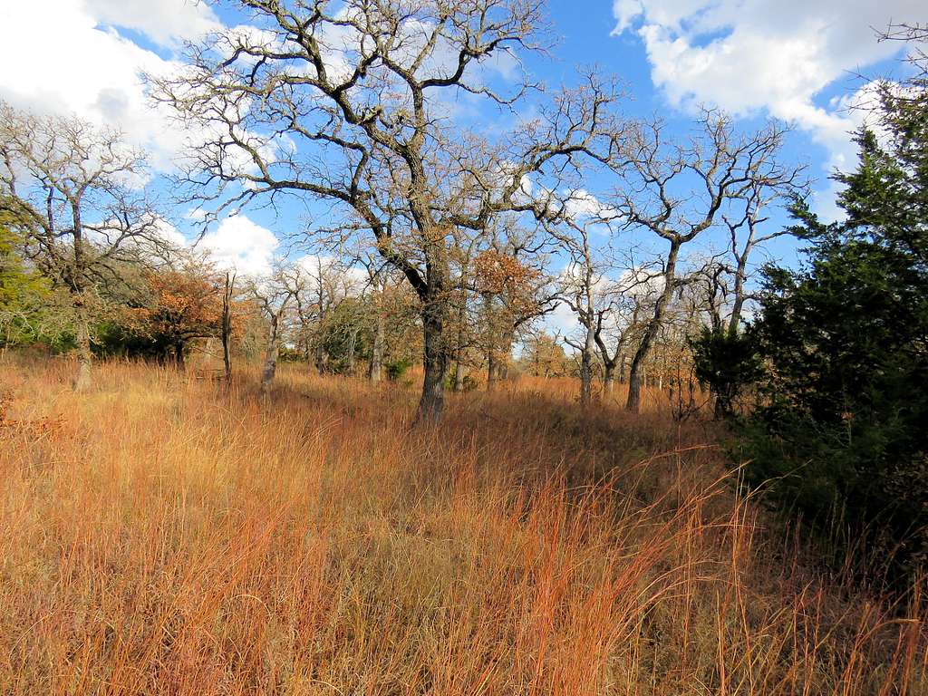
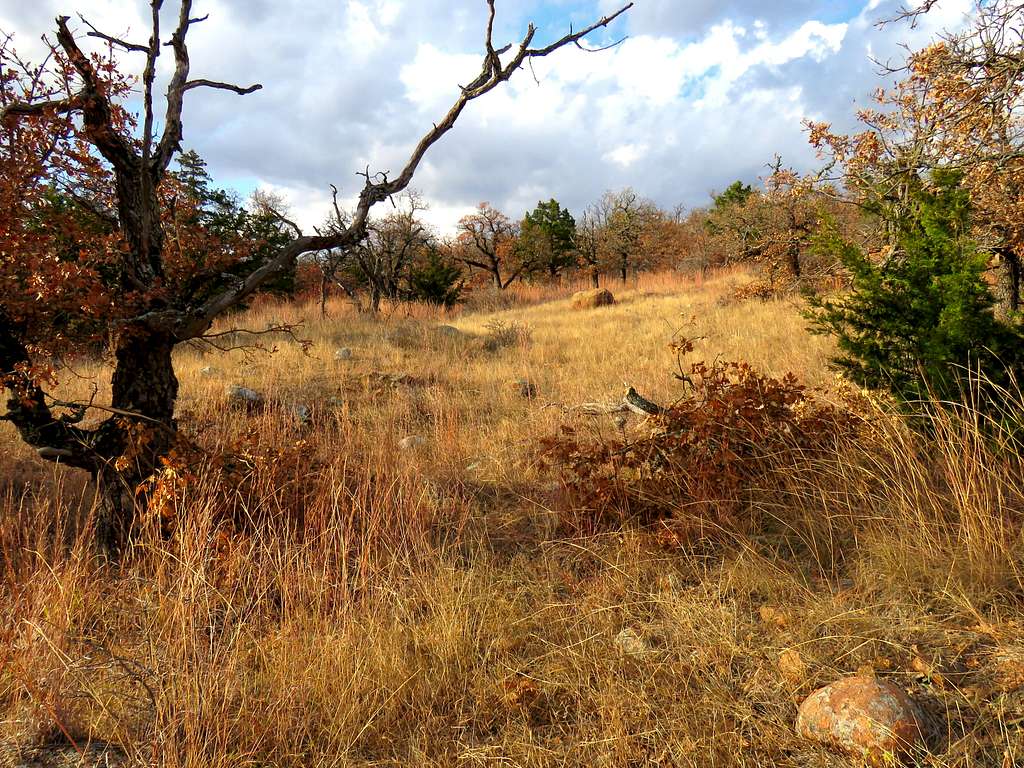
I then left trail and began to go up a slope toward a high point that I had identified on the map to the northeast of The Narrows. Fortunately, no annoying bushwhacking was necessary. The slopes were mostly covered by reddish grass and scattered trees with areas that required some boulder hopping. I was however concerned about coming across rattlesnakes since it had become fairly warm.
Went to an edge to get another view of The Narrows.
Continued up the slopes but I had no view of The Narrows.
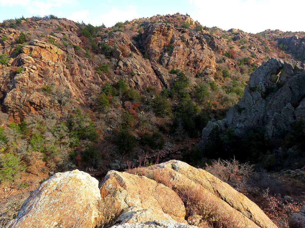
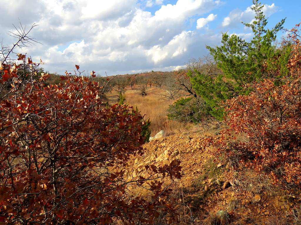
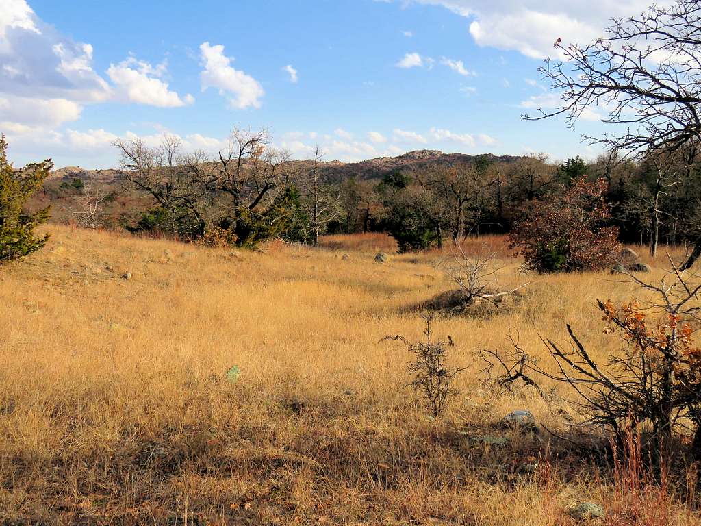
I then decided to veer west to get a view of the canyon of Panther Creek. I actually had to go down in elevation and to the top of a pile of boulders.
View of the canyon of Panther Creek.
Back uphill.
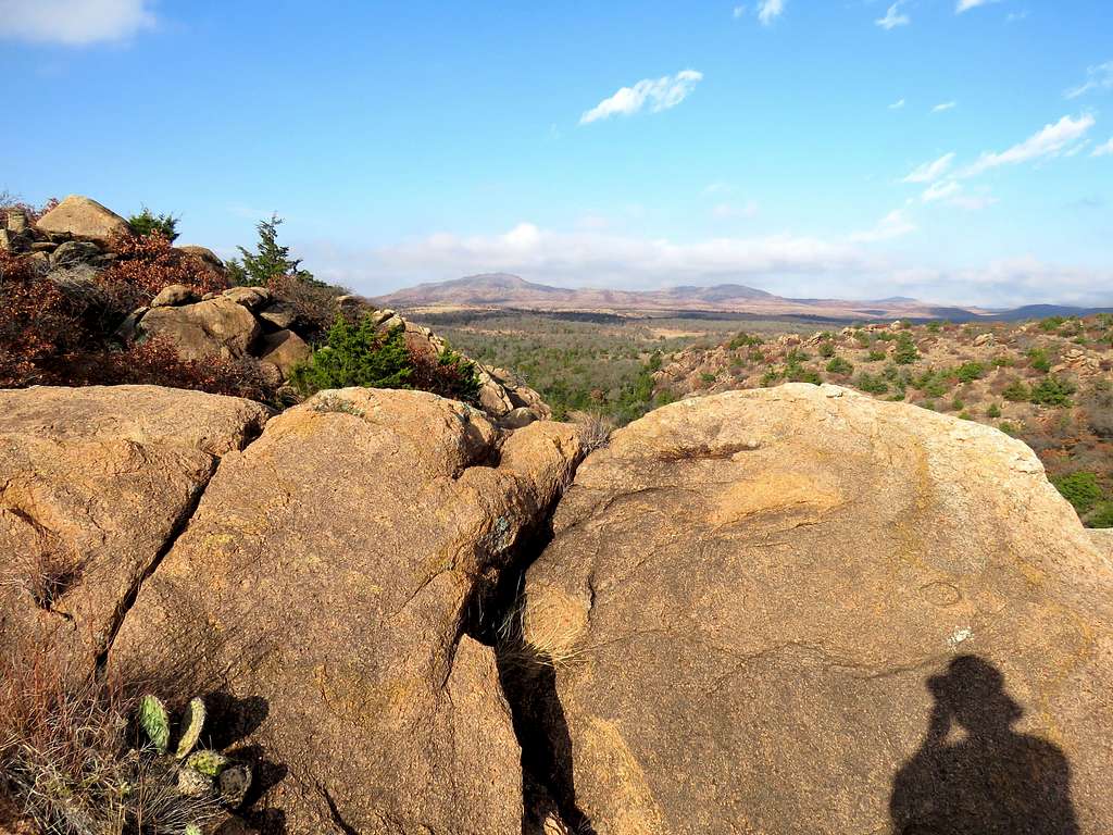
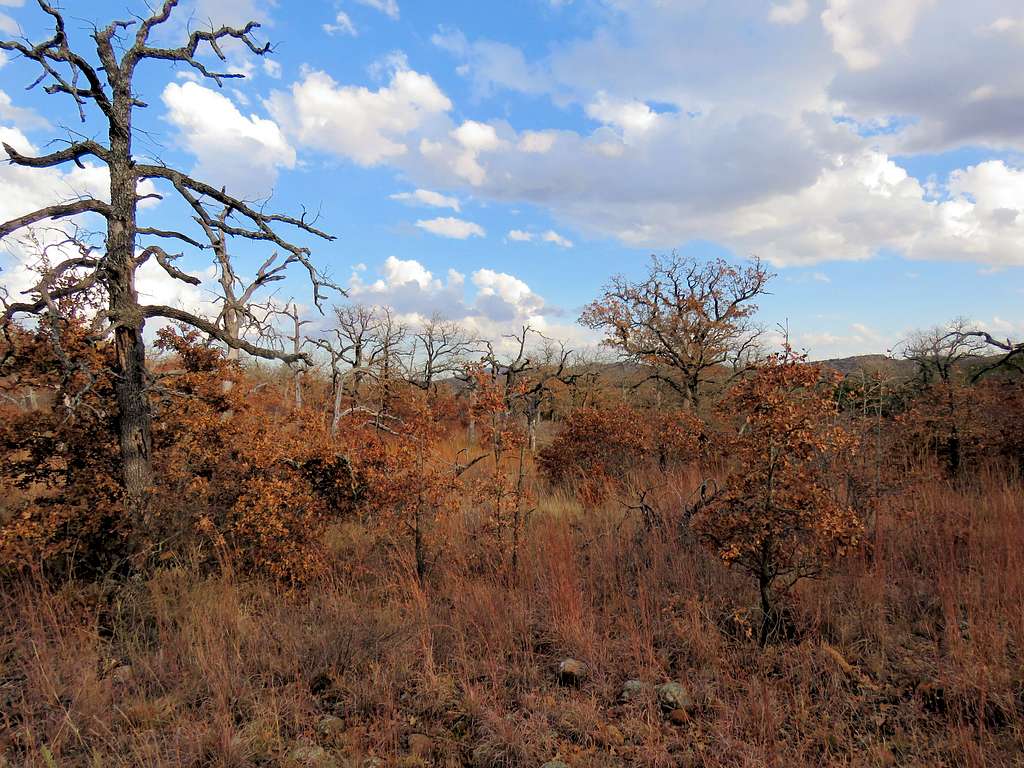
And then to the western edge for another view of The Narrows and Eagle Mountain.
I wanted to go down to Panther Creek and then return via a path that did not have a trail. There were only two hours of daylight left and I was concerned that off trail, I might come across impassable growths of bushes like I had on a different hike two days prior to that. In the end, I decided to take my chances. Began to go downhill toward panther Creek. Fortunately saw nothing but grassy slopes with scattered trees.
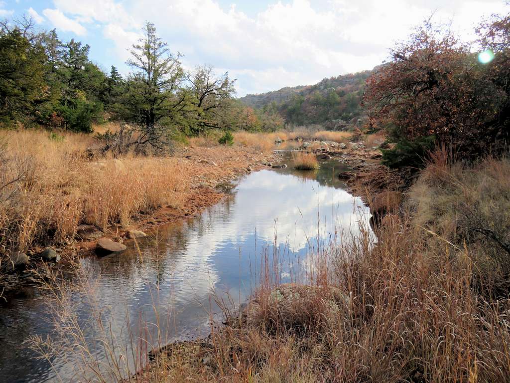
Panther Creek.
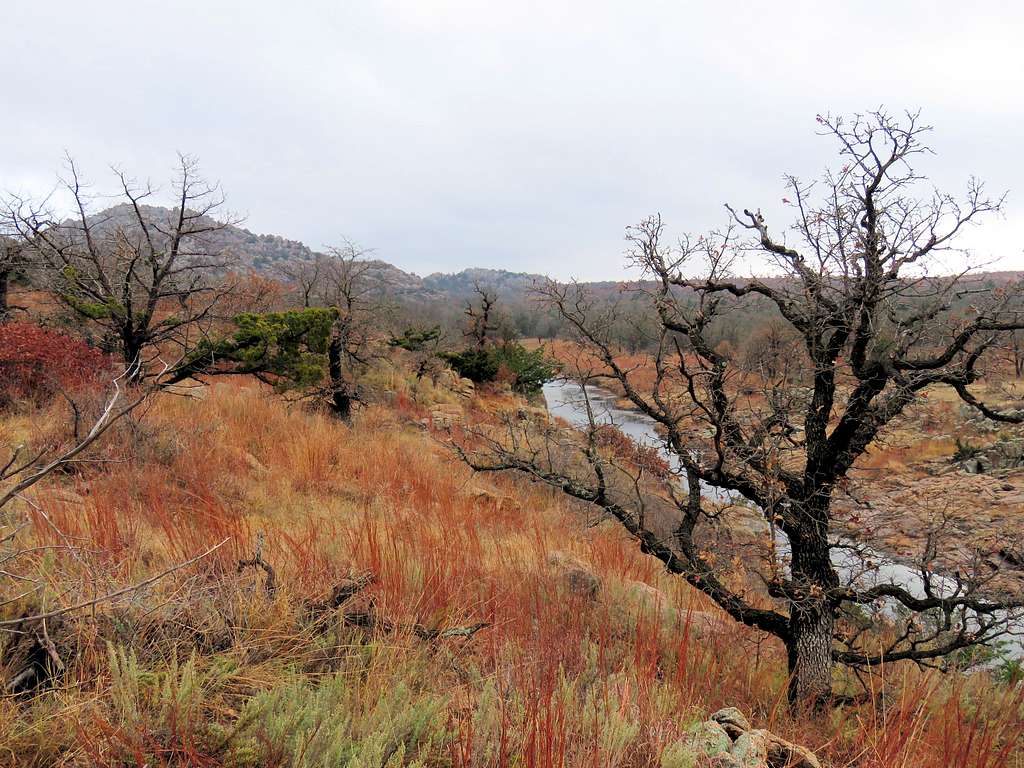
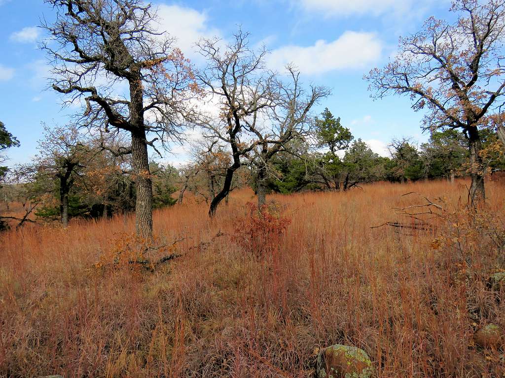
There was not enough time for me to follow Panther Creek into the canyon that I had seen from above. Turned north and went into a wide open drainage toward Lost Lake. Watching the fall colors all alone in the late afternoon sunshine in that beautiful place was a true pleasure.
Crossed the road and reached my truck at 4:00 p.m. As soon as I put my backpack on the truck’s seat, I saw a tick crawling over the seat. Did not find any others on my body or anywhere else.