

Comments
No comments posted yet.
|
|
Trip Report |
|---|---|
|
|
42.75570°N / 116.3712°W |
|
|
Download GPX » View Route on Map |
|
|
Apr 30, 2021 |
|
|
Hiking |
Rough Mountain Elevation: 7090 ft
Prominence: 1360 ft
Rank: Rough Mountain is Idaho’s 3255th highest ranked peak
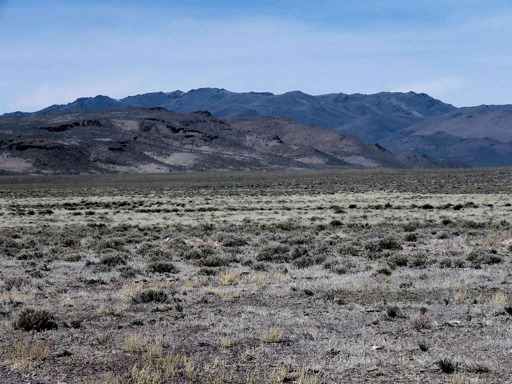
Rough Mountain is a remote desert peak in the Owyhee Mountains of southwestern Idaho. I had not been able to find any information about Rough Mountain on the internet but satellite photos had shown what looked like a rough dirt road going to/near its summit. Hiking to the top of Rough Mountain seemed to be pretty straight forward. My only concern was about potentially running into private property.
On the day of my hike, I found the area littered with free roaming cattle and their droppings. I also ran into two gates with no private property signs that I went through. A half mile section of the road was fenced off but I found a well-beaten path that went around the fenced section. Just below the summit, I got lazy and decided to go to the closer false summit rather than the farther true summit.
Elevation at Starting Point: 4670 ft
Highest Elevation: 7030 ft
Hiking Distance: 9.85 mile
Total Ascent: 2670 ft
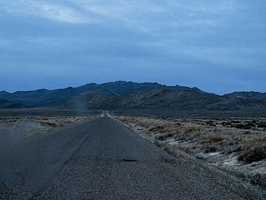
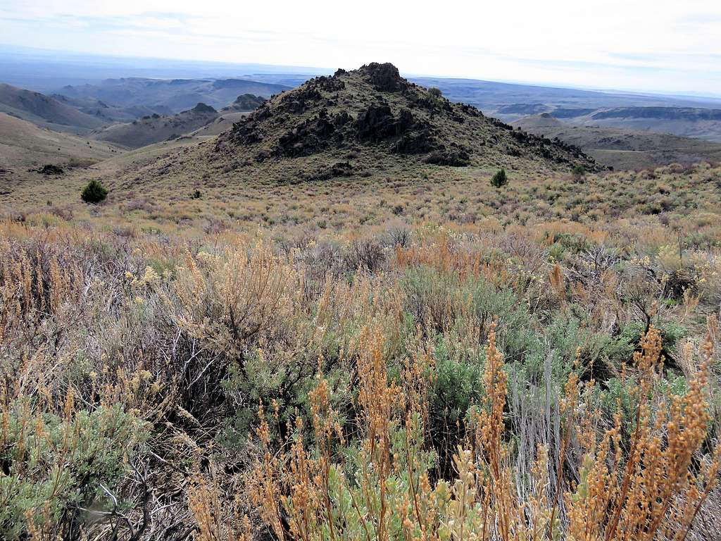
Left the vacation rental house at 6:10 a.m. Got on Mud Flats Road heading south over the desert plain toward the mountains. Rough Mountain from inside the Jeep.
The first 16 miles were paved, but then it became a wide dirt road passable by any car. The only problem was the wavy surface. If I went faster than 35 MPH, I often felt the Jeep swerving getting me worried about tipping over so I had to slow down. I had mistakenly measured 24 miles on Mud Flat Road until the junction with the road to Rough Mountain so at first I went by the junction, which was not well visible from Mud Flat Road anyway. I then had to turn around and look hard to find the road to Rough Mountain (The actual distance was 21 miles).
Parked on Mud Flat Road. Started my hike at 7:10 a.m. It was supposed to go up to 90 degrees F in town. I was concerned because it was already 65 degrees F. but thin clouds dimmed the sun to some extent.
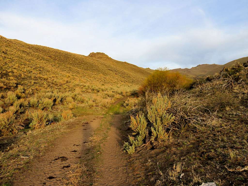
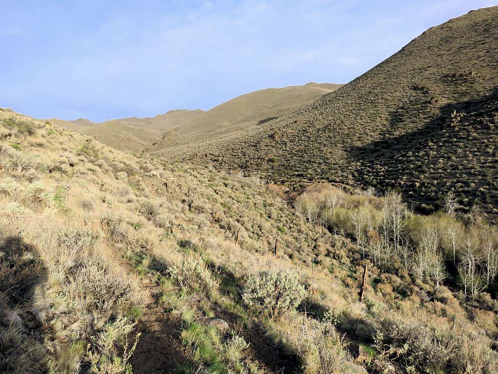
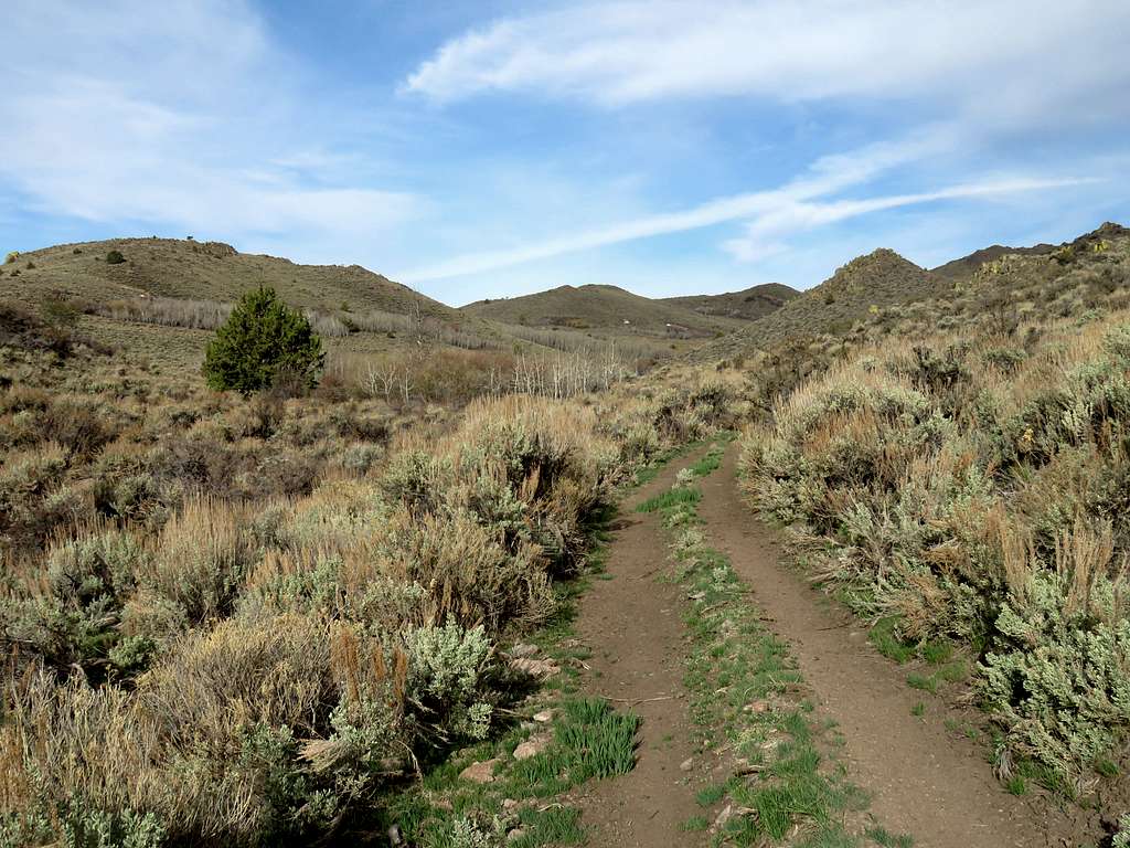
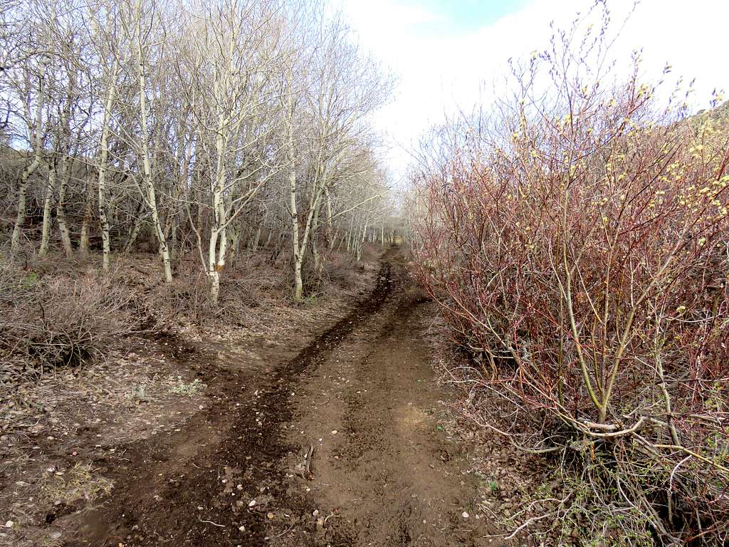
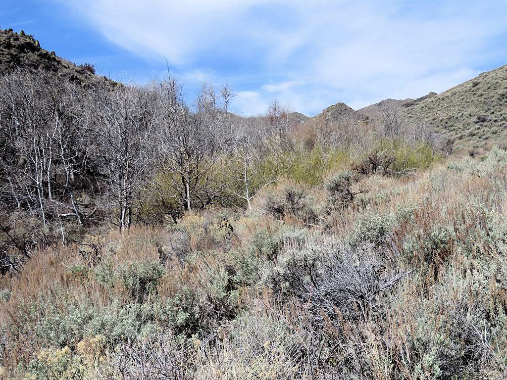
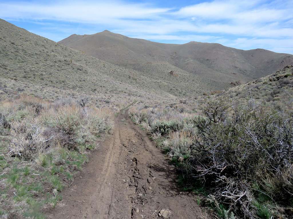
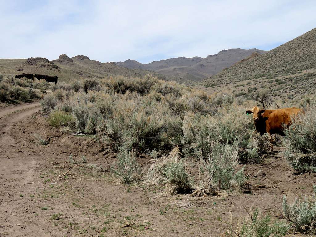
Found free roaming cattle and their droppings all over the place. Did not want to come across unhappy cowboys like I had during my hike the previous day on the rim of Little Jacks Canyon. Fortunately, did not see any other people all day long. Got on the rough nameless dirt road going west up a valley.
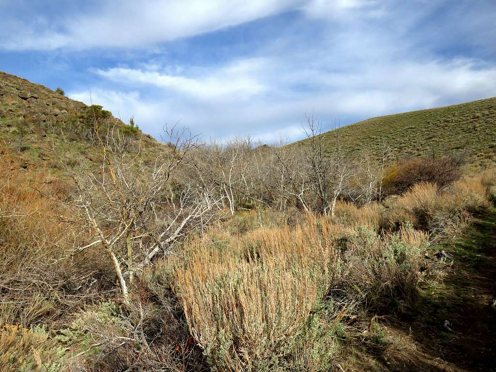
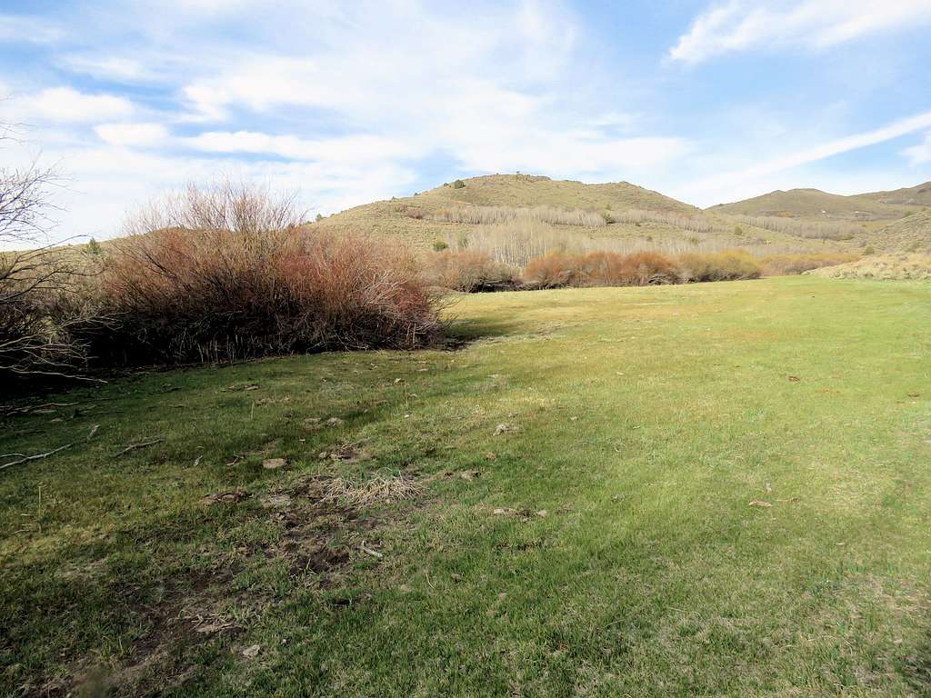
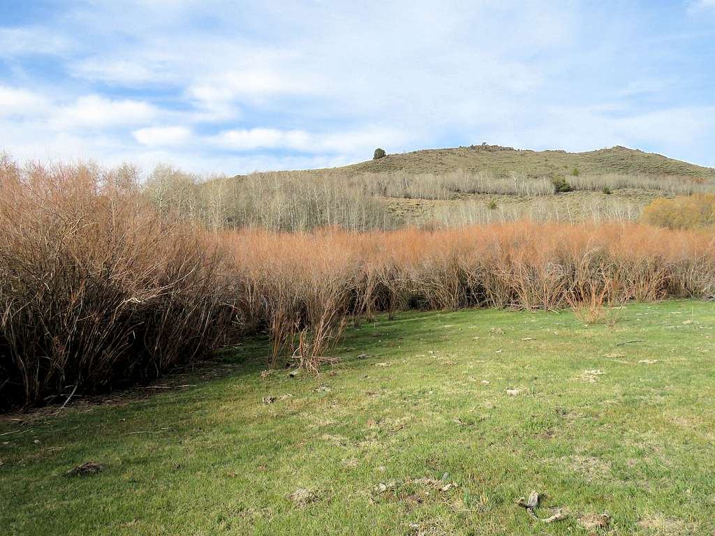
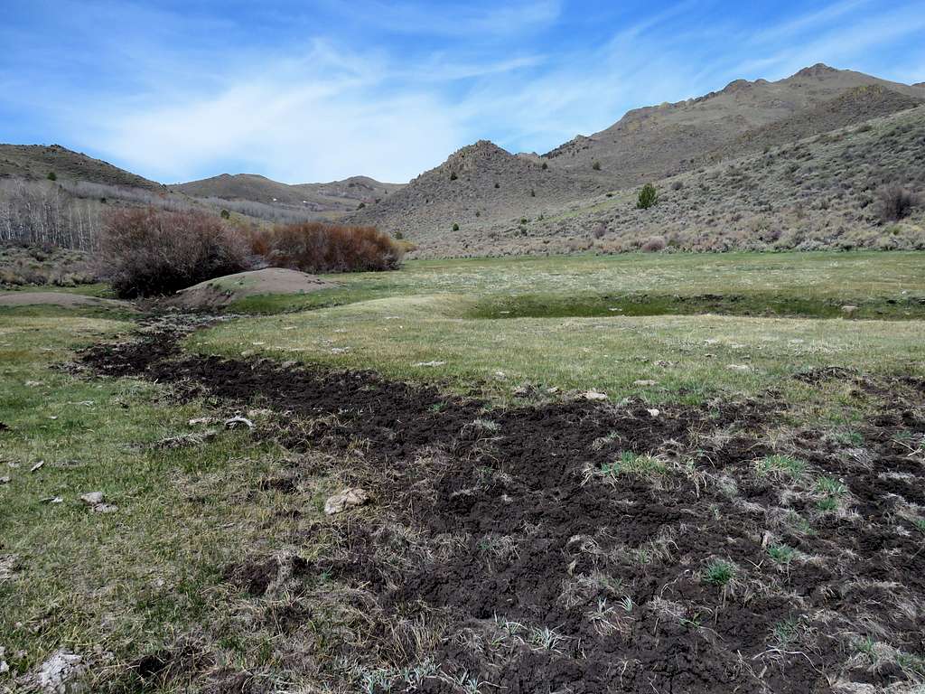
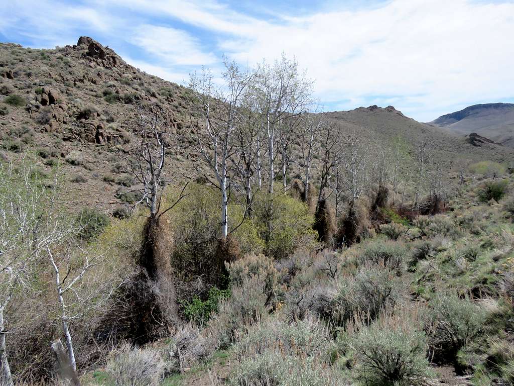
The dropping were really gross. I was thinking that instead of vacationing in a luxury resort. I had spent much time and money to toil in dirt and cow poop. After 0.85 miles, I reached a wire fence and a swinging gate with no private property or any other signs. I went through the gate and shut it behind me. There were no more cows there but the droppings continued all the way to almost the very top. I soon reached a barbed wire fence that blocked the road with no gates in the fence. I saw no private property signs but I still did not want to potentially trespass. Kept looking to find a path around the fence. Crossed to the south side of the creek and got on a well-beaten path that went parallel to the fence on the south side of the creek. I could see the road on the north side. A narrow band of white barked trees that were still winter bare grew on the banks of the creek.
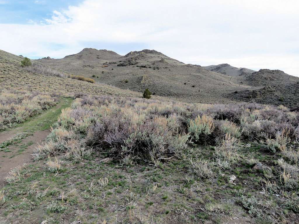
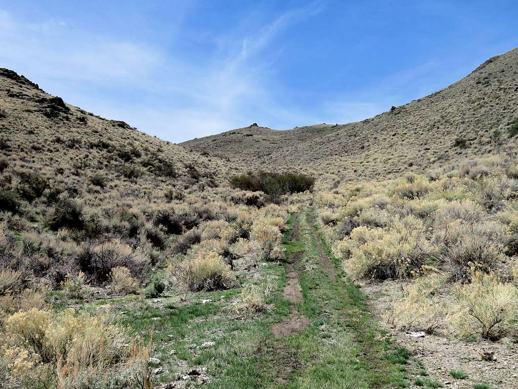
After half a mile, the path went back to the road where the fence ended. The road went up steeply until at 2.26 miles, I reached a 5730 ft saddle. View of the 6719 ft Bald Mountain to the south.
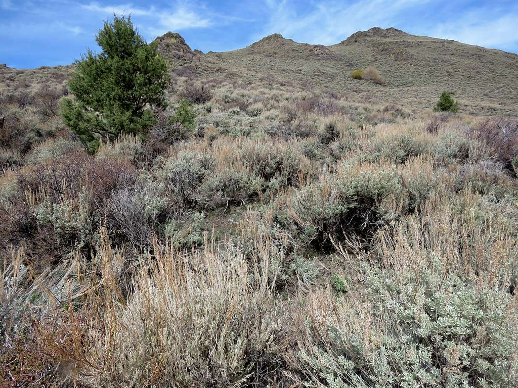
For the next quarter of a mile or so, there were cattle on the slopes again. The road went west going up a different drainage.
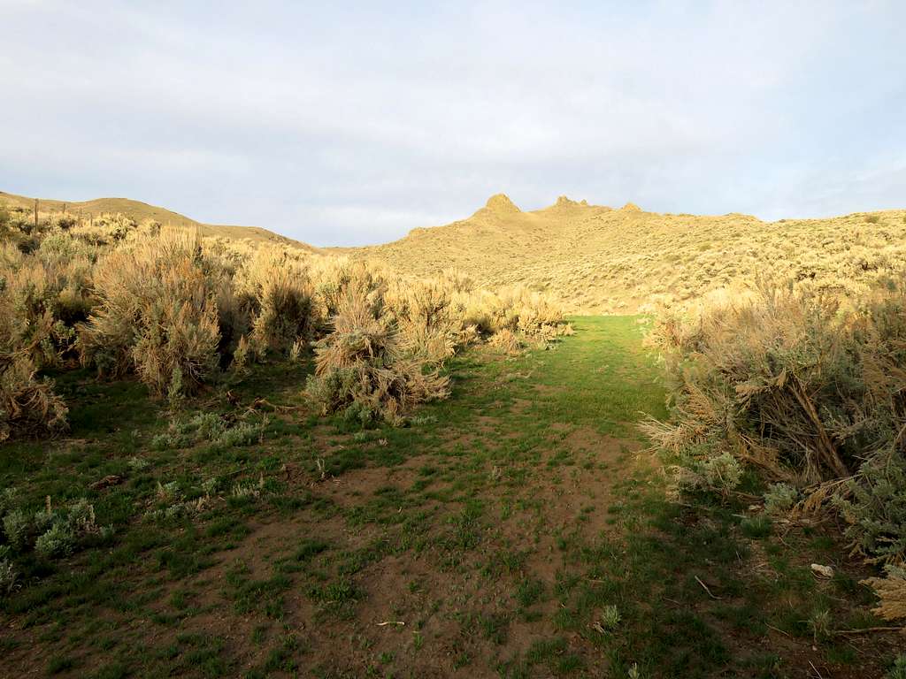
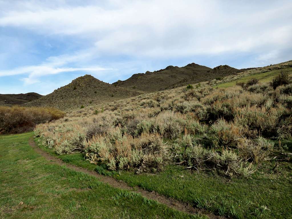
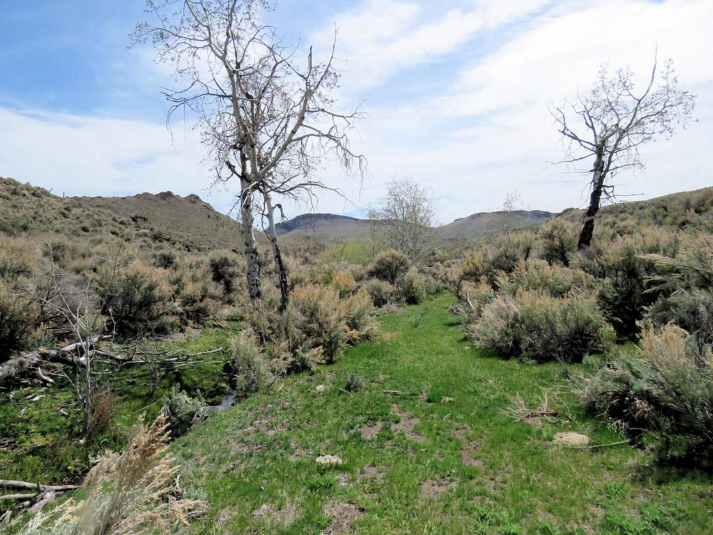
After a couple of broad 90 degree turns, at 3.25 miles and 6100 ft elevation, I reached a small flat area with pretty green grass. If it weren’t cow poop infested, I would have sat there for a few minutes to appreciate the beauty.
Short section of forest.
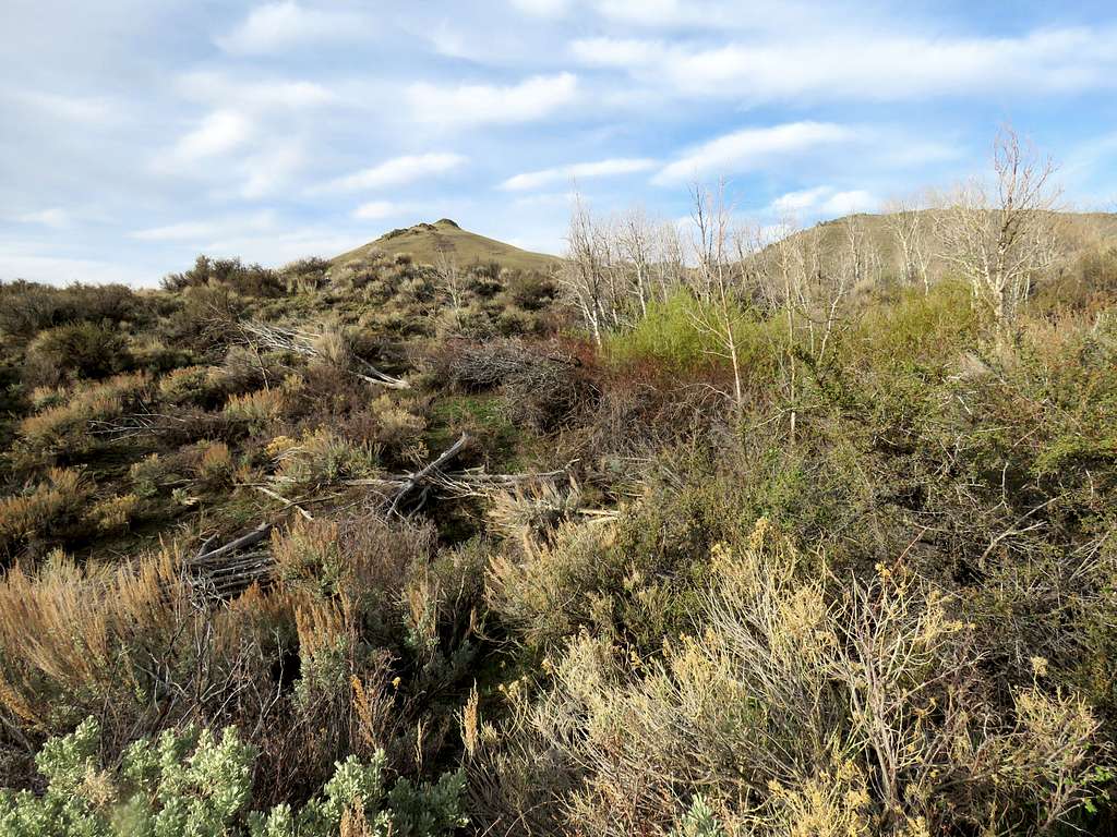
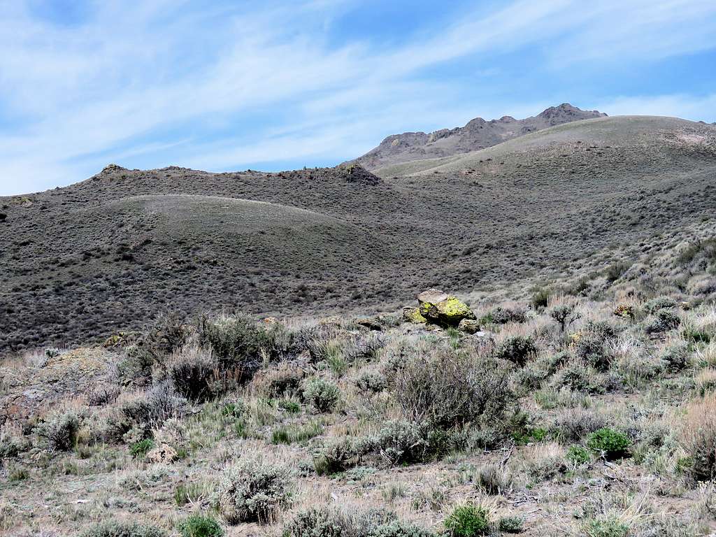
At 9:00 a.m., 3.9 miles of hiking and an elevation of 6390 ft, I reached a broad saddle where the road split. Turned right (north) and followed the road downhill some and then uphill again toward the many summits of Rough Mountain. I had, weeks ago, studied the maps and entered the correct path to the true summit into my GPS.
I then reached another wire fence (with no signs on it) blocking the road. There was no swing gate but I forcefully pulled a stick out of a wire loop causing a 15 foot section of the fence to retract like a spring and collapse to the ground “opening the gate”. I then tried to put the fence back together but the stick seemed to be a whole foot away from the wire loop. With all my force I kept pulling on the stick but I could not make the distance any shorter than 6 inches. How on earth was that stick inside the wire loop before I pulled it out? I did not want to leave the gate open behind me causing a cowboy to lose cattle but no matter how hard I pulled, I just could not bring the stick anywhere close to the loop. I was afraid that my forcing could cause the wire to snap hitting me in the face causing serious injury. Saw another wire loop that was not too far from the top of a pole in the fence. Kept forcing it as hard as I could for a good 10 minutes until I was able to barely put the top of the pole into the loop. That was enough to get the fence back up closing the gate. For my return, I thought I would just crawl under the wire, what I should have done to begin with. I had become paranoid wondering if I was not supposed to be there.
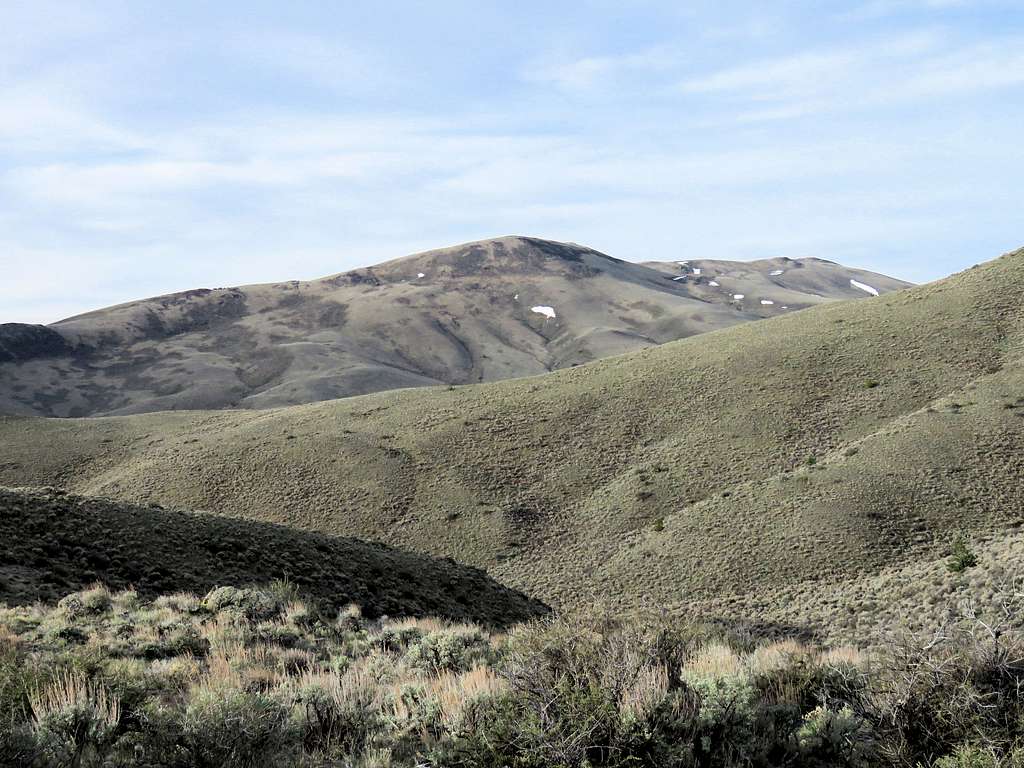
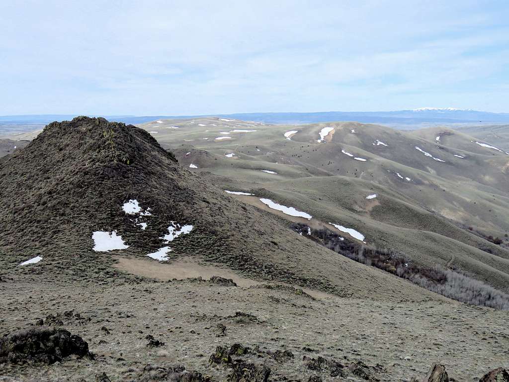
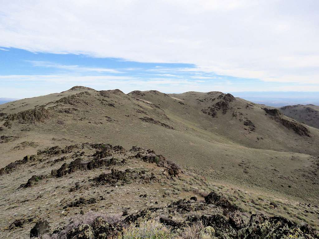
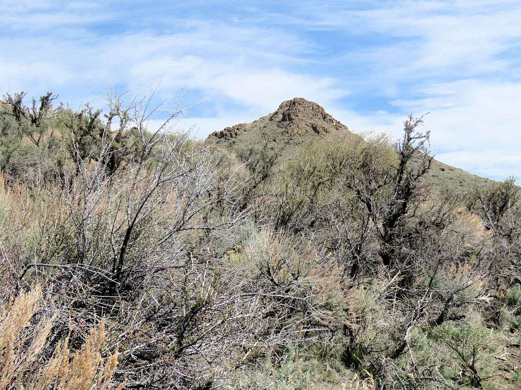
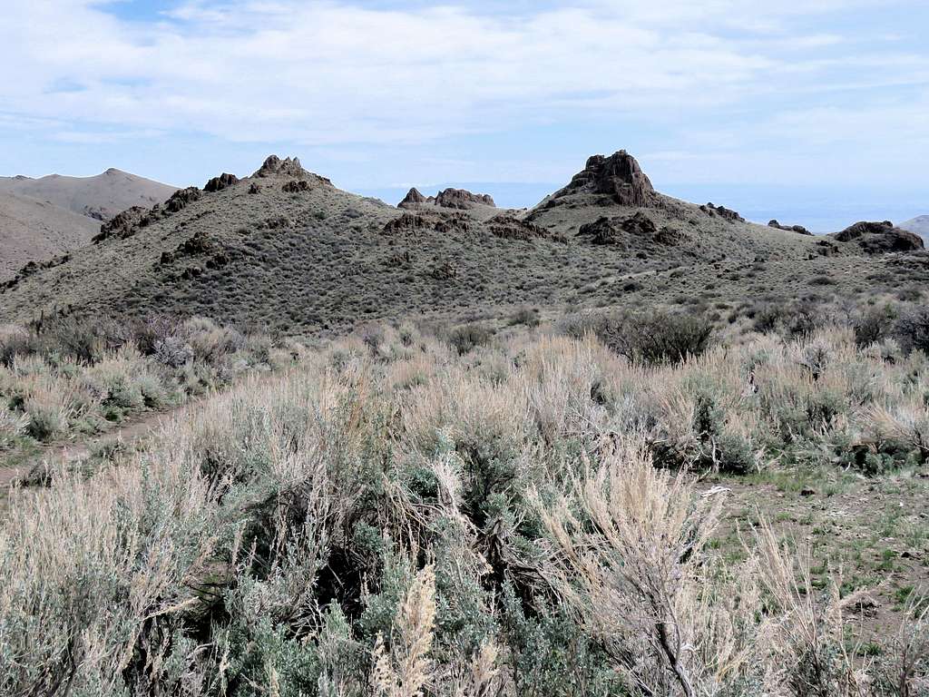
Went up the road to a 6470 ft saddle where I found the road going down 150 vertical feet to reach the base of the many summits of Rough Mountain. I knew the main summit sat still farther away behind the false summits that I could see. The slopes also seemed to be covered by a dense growth of sage which made me think would require whacking to get through. I decided to go directly up the slopes toward the one false summit that rose above where I was. Left the road and went up the sage covered slopes, no whacking required. Reached the false summit at 9:54 a.m. and 4.95 miles. It had become cloudy and was cold enough for me to put on my jacket.
Looking west/southwest. Point 7023 ft on the left and the distant South Mountain.
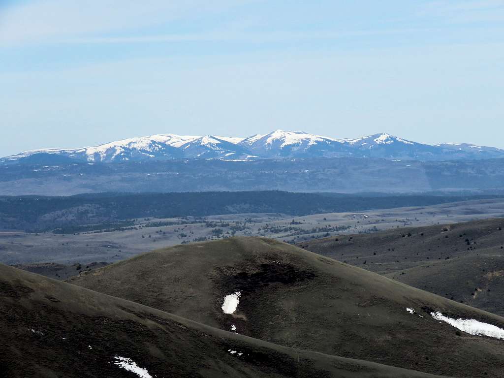
Zoomed view of South Mountain 27 miles to the west.
Zoomed view of Hayden and Quicksilver Mountains 21 miles to the northwest.
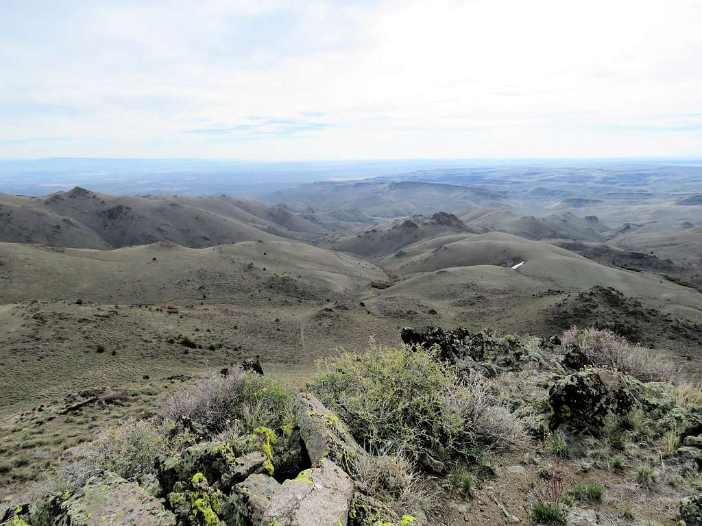
True summit and other sub-peaks to the north.
Looking east.
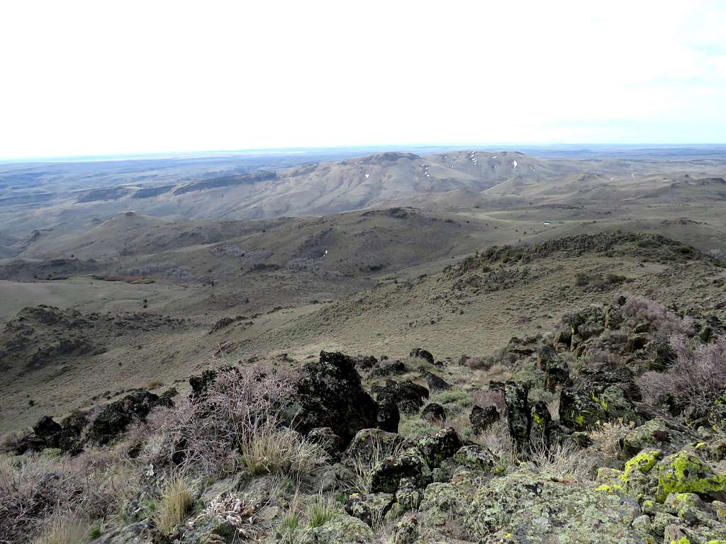
Bald Mountain to the southeast.
Had lunch and enjoyed the views, then left at 10:22 a.m. going back to the road. View of Point 6570 ft.
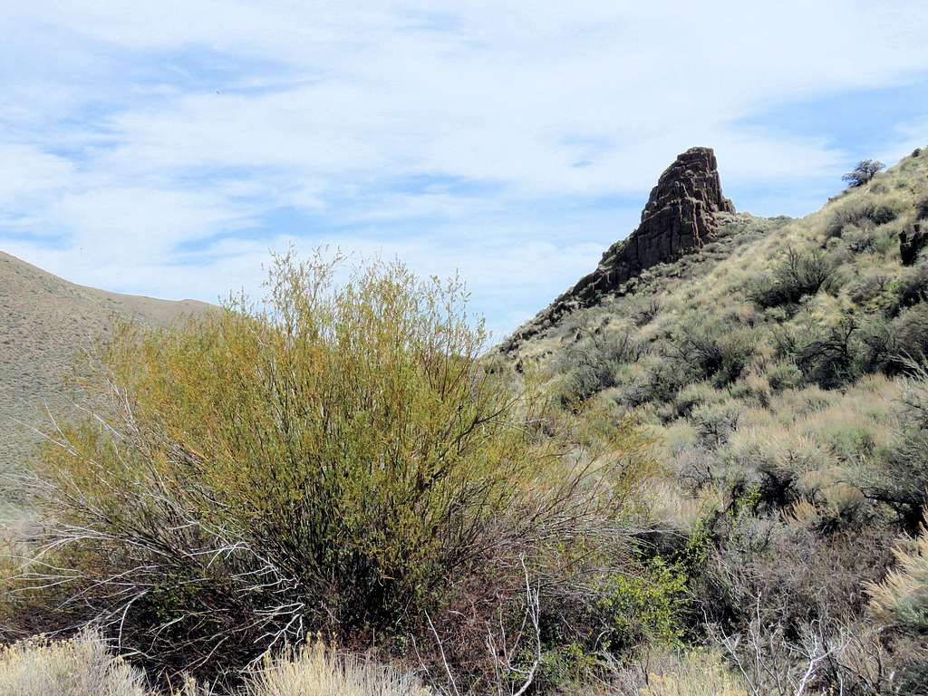
Made it to the road. At the gate, I took off my back pack and crawled under the fence. View of the sub-peak I climbed.
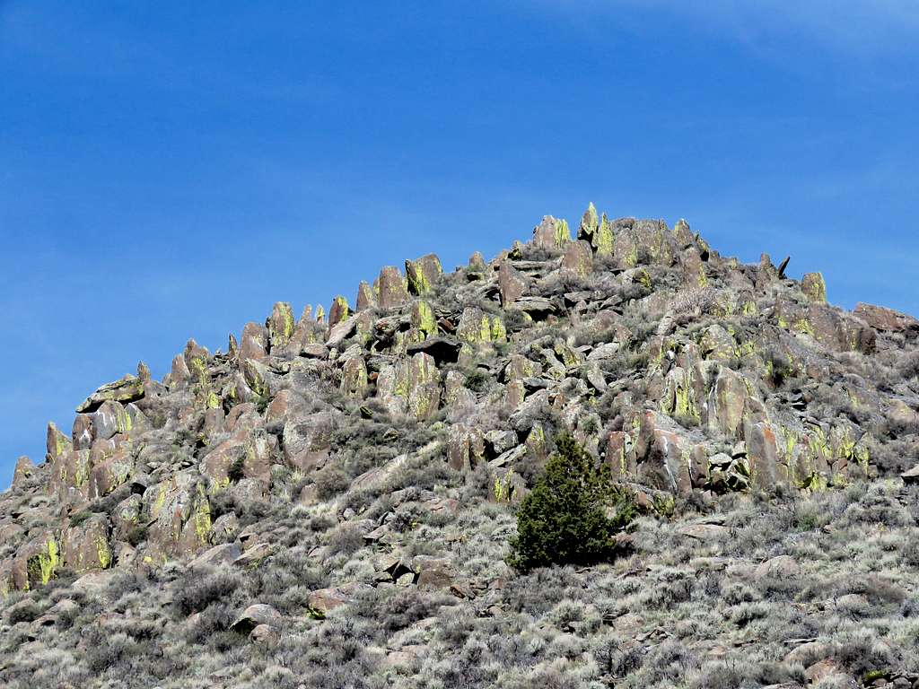
Needles.
It became sunny but fortunately a breeze blew most of the times causing me not to overheat.
Below the 5730 ft saddle.
Cows at the junction of Mud Flat Road.
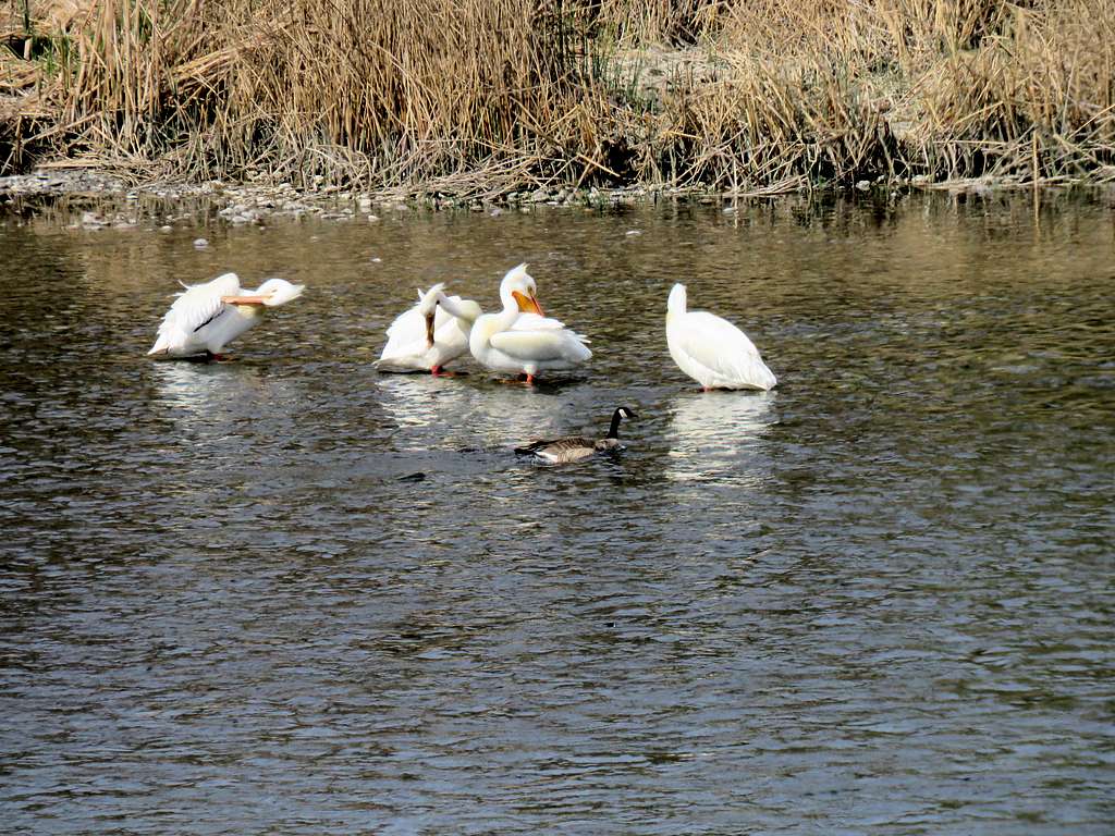
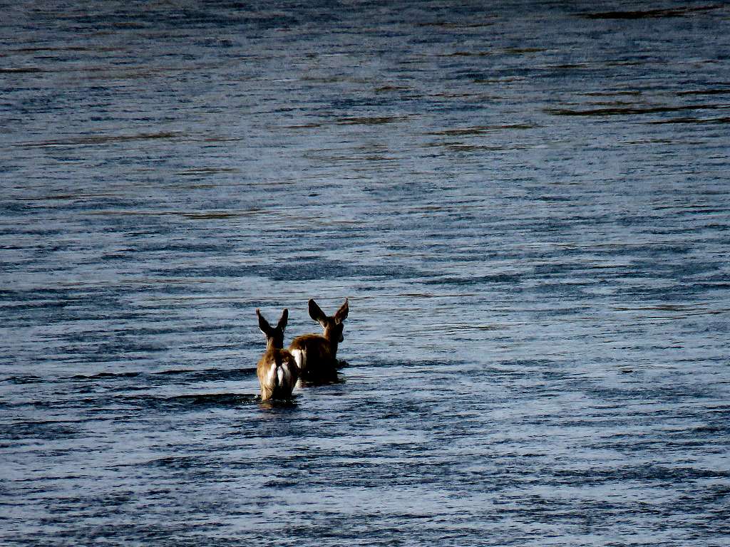
Reached the Jeep at 12:48 p.m. It was 77 degrees F. Made it back to the vacation rental house on the banks of Snake River. After eating, showering and doing office work, I spent the evening bird watching.
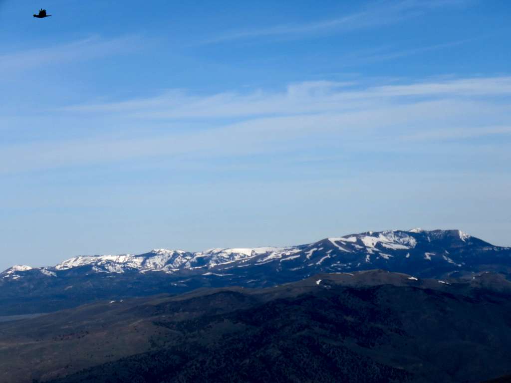
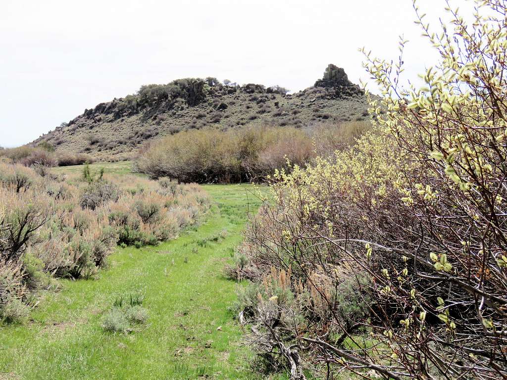
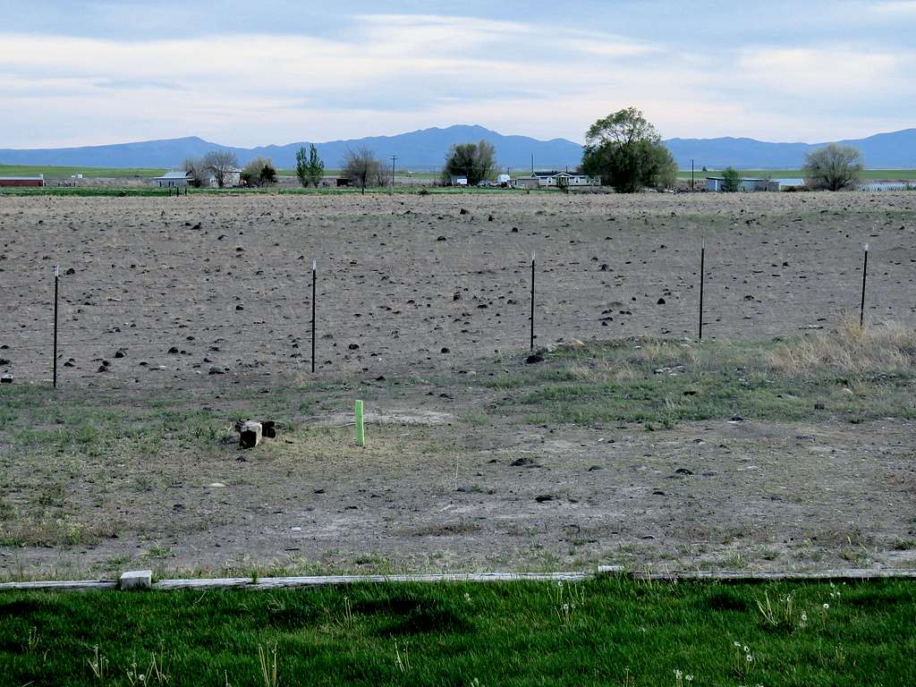
Rough Mountain from the vacation rental house 23 miles away.