|
|
Route |
|---|---|
|
|
43.86610°N / 103.5311°W |
|
|
Hike |
|
|
Half a day |
|
|
Walk-up |
|
|
Approach
The Black Hills area is accessible from Rapid City from a variety of directions. Get a road map from any town in the black hills region and you will find an adequate way to get to rt. 87, (AKA Needles Highway). The well marked Sylvan Lake trailhead area will be found on this road. Once you drive into Sylvan Lake you pay $5 to enter the park. Drive around the Lake and take a left towards the far parking area. From here you will find Trail#9, a 1300 foot, 6 mile round trip hike to the summit of Harney Peak. The whole trip should take in between 2 and 4 hours for the avid hiker.
Route Description
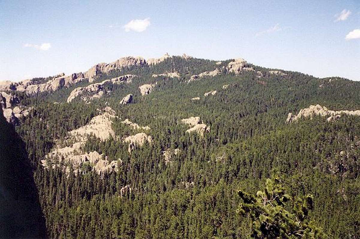
The route is pretty easy to follow. It winds around rock formations, with a gradual incline. Half way in there is a small elevation loss that will have you questioning yourself. Don't worry, you are still on the trail, which does not get really steep until the last part of the hike. There are several nice viewing areas where you can actually see the summit tower in the distance. As the trail gets steeper you will reach the summit area, where some stairs lead to the summit tower.
This is the standard, touristy route up the mountain, but is still challenging regardless. It takes anywhere from 1 to 2 hours to hike to the summit.

Harney Peak from the trail (photo courtesy of Klenke)
Essential Gear
Dress warm in cold weather due to high winds at the summit area. This is the highest point for well over 100 miles. This is a standard class 1 route. It feels similar to the Appalachian Trail, except with more rocks.
Miscellaneous Info
$6 is the fee to park at the trailhead.


