
|
|
Mountain/Rock |
|---|---|
|
|
31.91651°N / 109.27375°W |
|
|
Download GPX » View Route on Map |
|
|
Hiking, Mountaineering |
|
|
Spring, Fall |
|
|
8820 ft / 2688 m |
|
|
Overview
Buena Vista Peak is a rocky high point in the Chiricahua Mountains of southeastern Arizona. It has a prominence of only 200 ft and is therefore not a ranked peak. On its summit, however, you will find a man-made concrete platform that can provide you with some of the best views in the Chiricahua Mountains, hence the name Barfoot Lookout. The structure that was on the summit was destroyed by a fire in 2011 but the platform remains.
The easiest way to climb Buena Vista Peak is to drive 15 miles on a dirt road to Barfoot Park Campground at an elevation of 8230 ft and then follow a one-mile trail to the summit. To make the hike longer and more scenic, I started at Ida Peak Trailhead on Pinery Canyon Road (5975 ft) and went to the 8140 ft Ida Saddle, down to 7900 ft on the south side of the saddle, up again to Barfoot Park Campground and then the summit of Buena Vista Peak.
Just before Ida Saddle, the trail traverses a forested slope 450 vertical feet below the summit of the 8501 ft Ida Peak. What I could see from the summit of Ida Peak through the trees, appeared to be guarded by cliffs so I decided not to climb it.
When I did my hike in November 2023, between the elevations of 6900 to 7300 ft, Ida Trail was overgrown requiring bushwhacking sometimes through thorny bushes. The rest of the path appeared well-established.
</p
Getting There
Directions to Ida Peak Trailhead:
From the town of Wilcox, Arizona (86 miles east of Tucson on I-10), drive 31 miles east and south on Route 186 to the intersection with Route 181. Turn east onto 181 going toward Chiricahua National Monument. After 3 miles, just before entering the monument, turn south onto Pinery Canyon Road (Forest Road 42) which soon turns into a dirt road. When I visited the area, the road was graded and seemed to be suitable for average street cars. Drive 7.4 miles on Forest Road 42 to reach the signed Ida Peak Trailhead where there is no place to park a vehicle. I parked 0.15 miles before the trailhead at the junction of Forest Roads 42 and 42 C (the road to Downings Pass).
Route from Ida Trailhead/Trip Report
Hike Length: 10.66 miles
Total Ascent: 3508 ft
Starting Point Elevation: 5975 ft
Buena Vista Peak Elevation: 8820 ft
Started my hike at 7:00 AM at the junction of Forest Road 42 and 42 C (see Getting There) elevation 5975 ft. It was 28 degrees F but there was no wind so it felt much better than it would have with wind. I did not see any other people all day long. Hiked 0.15 miles on the road and got on Ida Peak Trail which began to go up steeply on a slope that was covered with a dense growth of shrubs and trees. Looking west at Point 6709 ft.
Shaw Peak to the northeast (I had climbed it 3 days earlier).
Looking up the slopes at the dense growth.
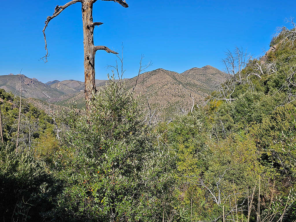
Point 6988 ft and the distant Dos Cabezas Mountains.
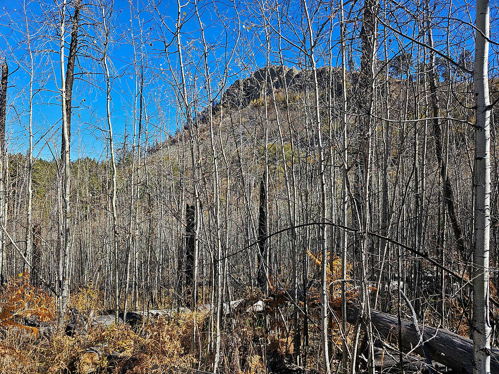
After only 1.15 miles, I had reached an elevation of 6950 ft. The trail made a sharp turn to the left and became overgrown. I had to whack my way through the bushes, a few of which were thorny. I was hoping that situation would not last very long.
The tip of Cochise Head.
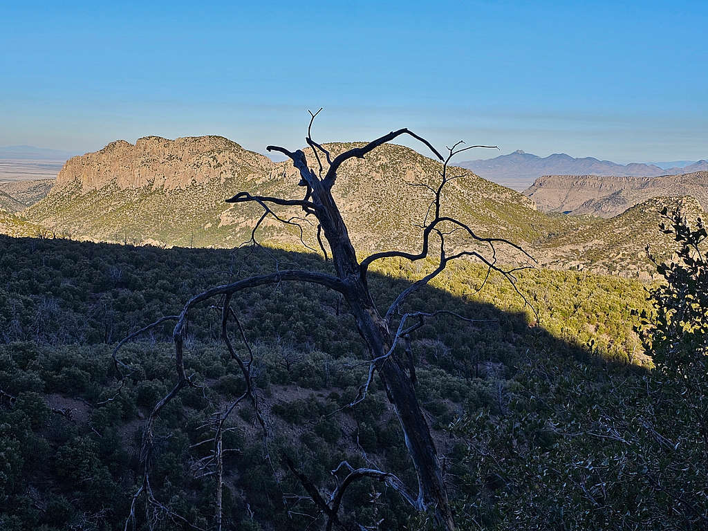
A sharp horn appeared. I later identified it as Maverick Peak.
At around 7300 ft elevation, the shrubs went away, and the trail became much more defined again.
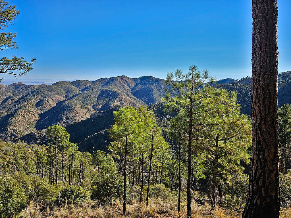
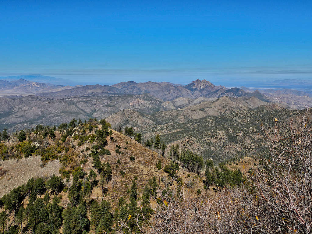
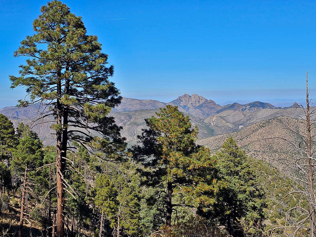
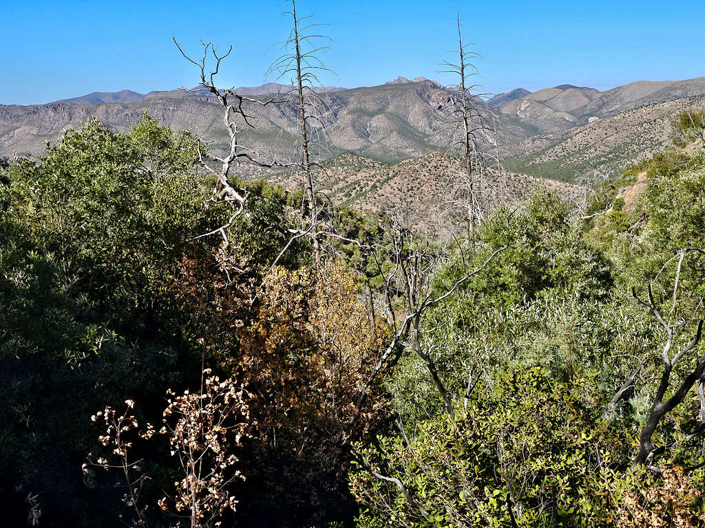
Views of South Timber Mountain (which I climbed the previous day), Shaw Peak, Maverick Peak and Cochise Head.
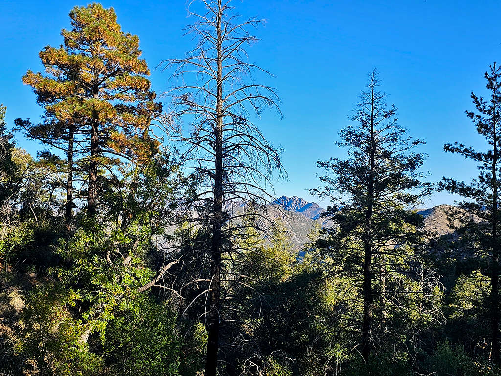
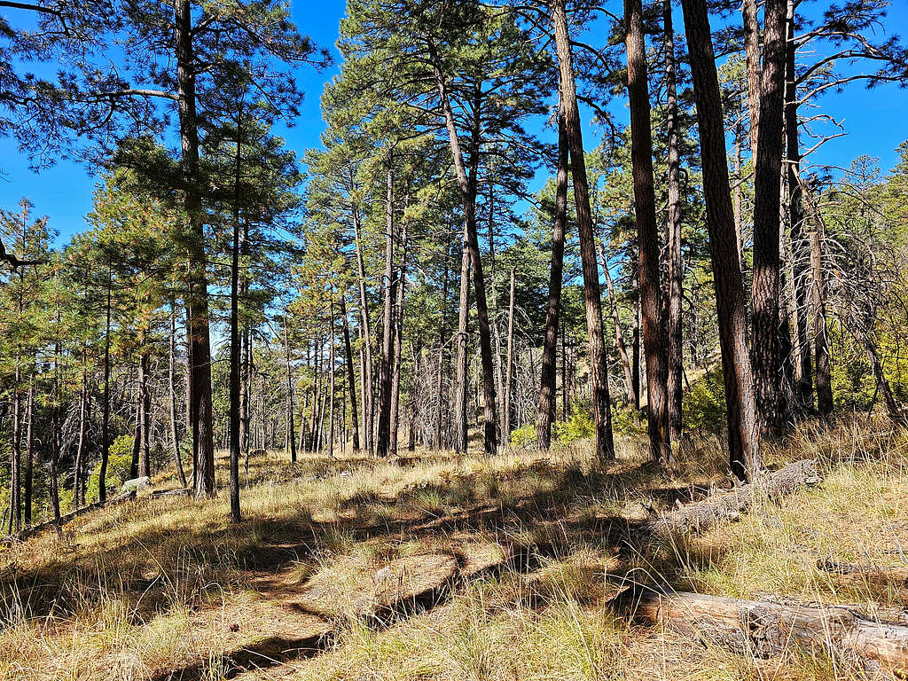
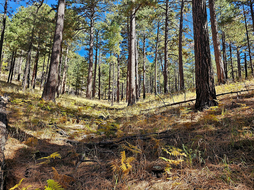
I then entered a pine forest.
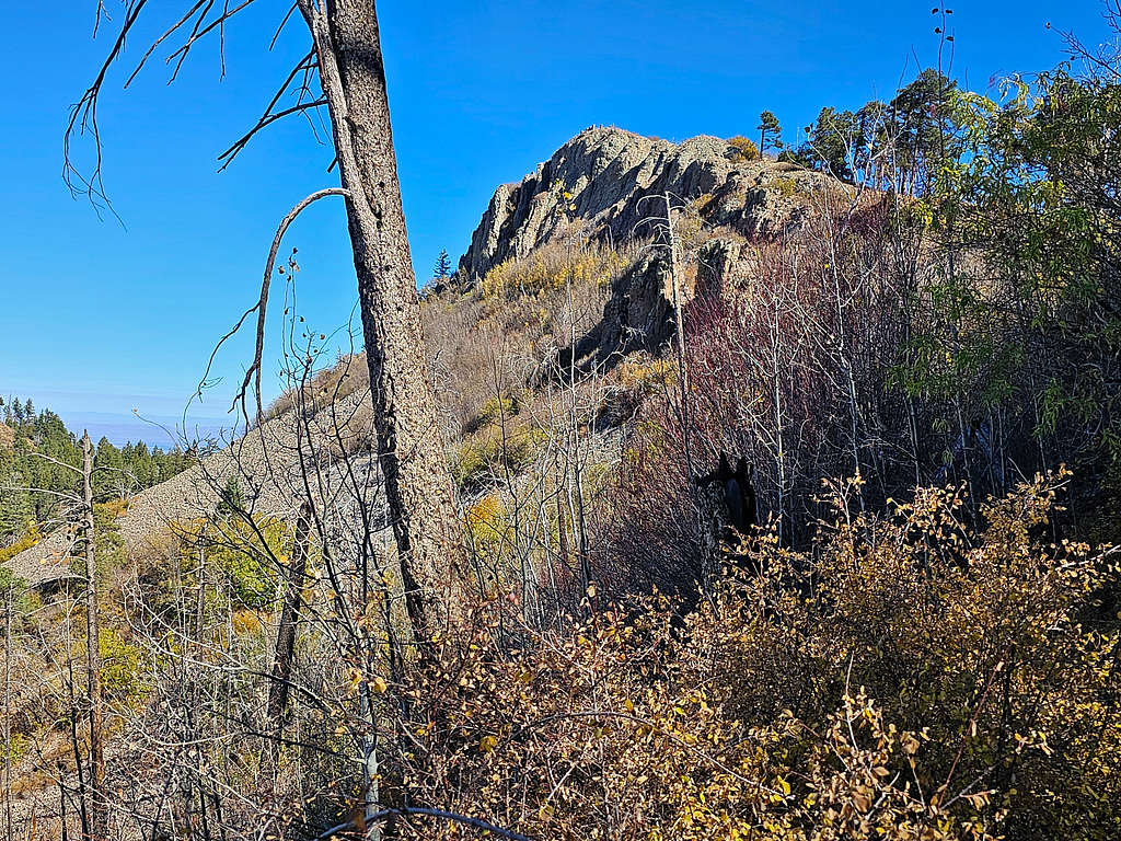
At 9:20 AM, 2.90 miles and 8040 ft elevation, the trail made a sharp turn to the left. My map had shown a beaten path that started there and went to Ida Peak. I did not see any evidence of a path but left the trail and began to go up the steep slopes toward the cliffs of Ida Peak.
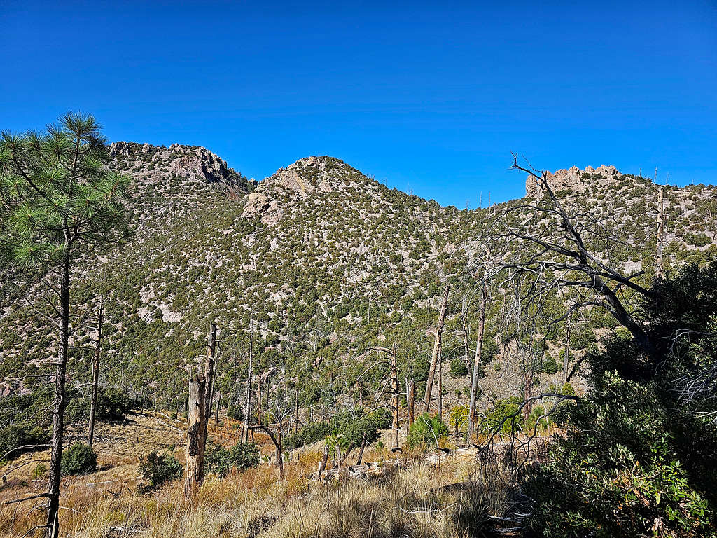
The cliffs did not appear very inviting. I thought why should I get myself involved with those cliffs while I can follow the trail to the higher Buena Vista Peak? At 8140 ft, I gave up and went back to the trail.
Followed the trail toward Ida Pass. A better view of Ida Peak.
At 9:48 AM, 3.19 miles and 8140 ft, I reached Ida Saddle. Looking north at Cochise Head.
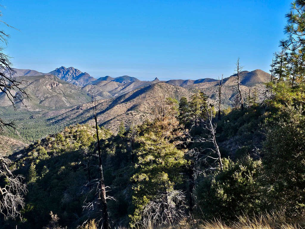
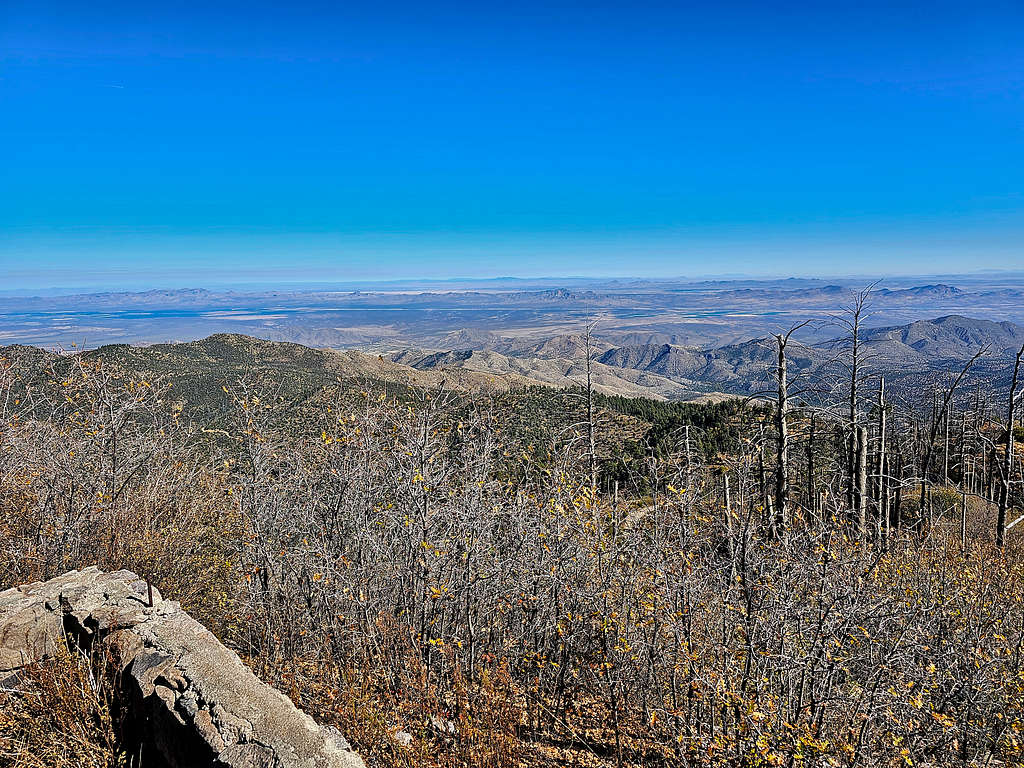
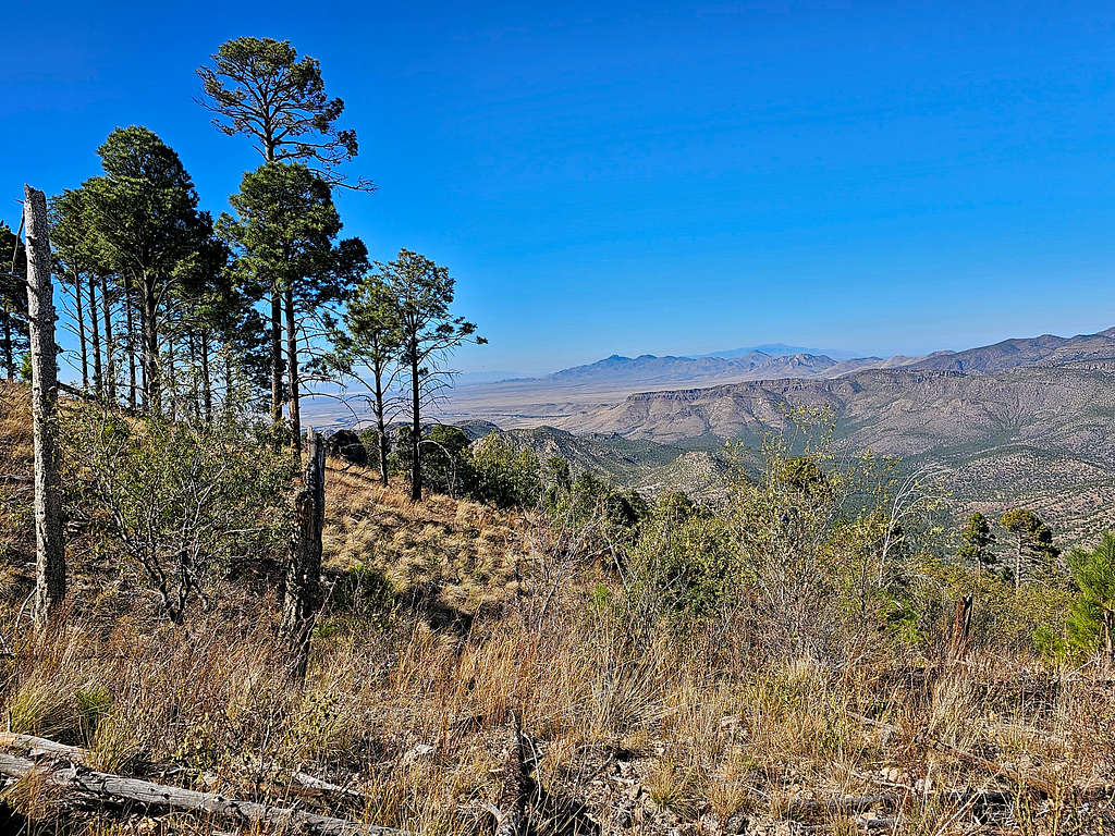
On the south side of the saddle, the trail began to go downhill. View toward the 9140 ft flattop area.
Looking back at the southeastern face of Ida Peak.
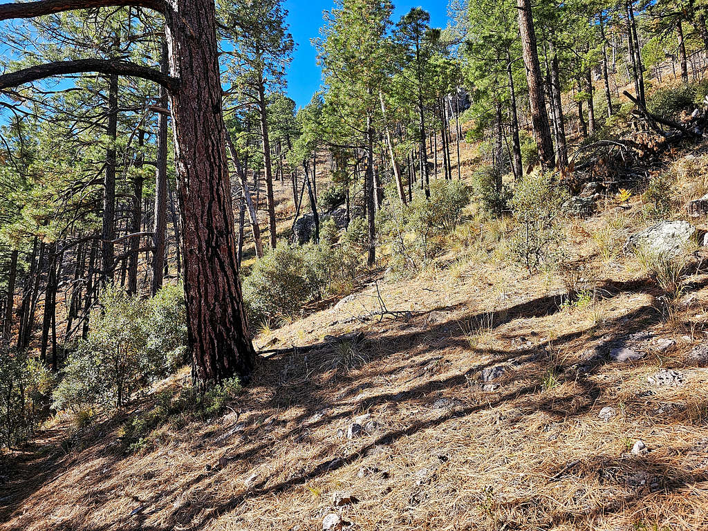
The trail went down to 7900 ft where it entered a beautiful pine forest and began to go uphill again.
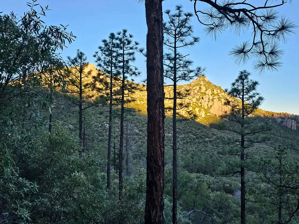
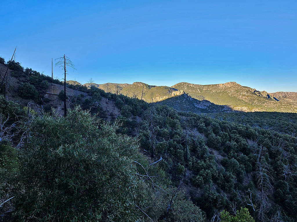
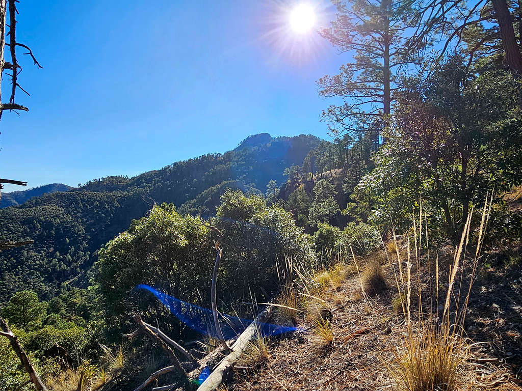
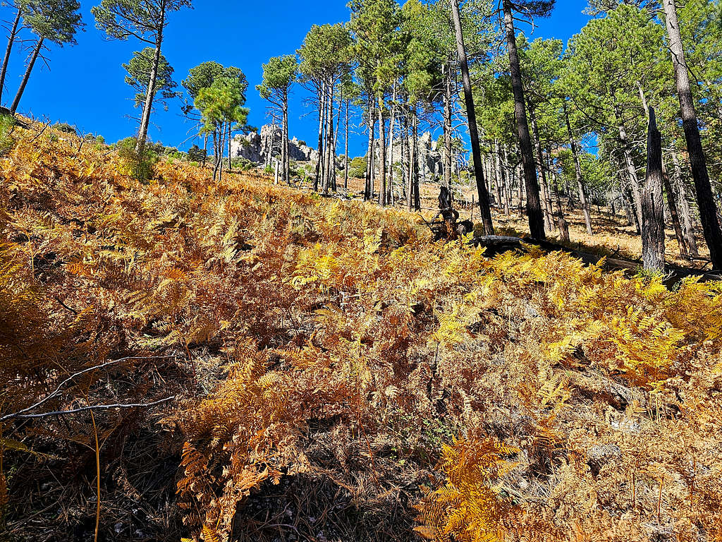
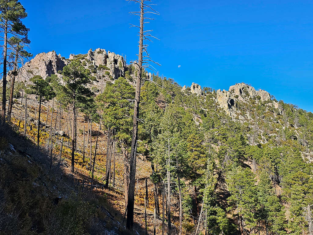
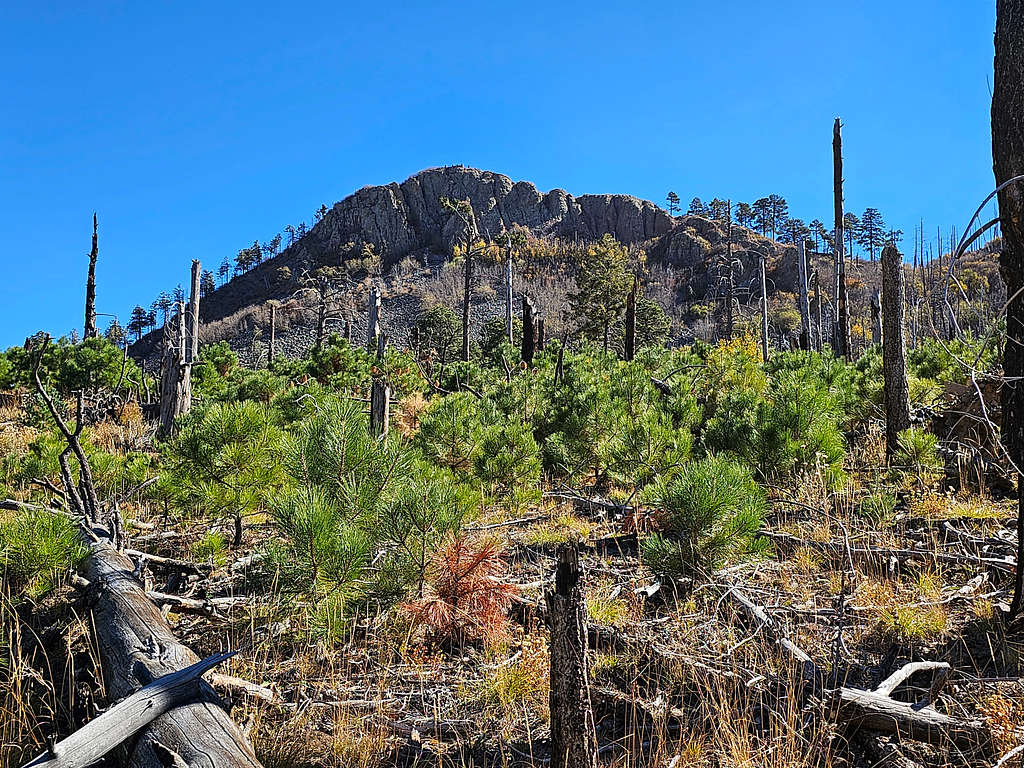
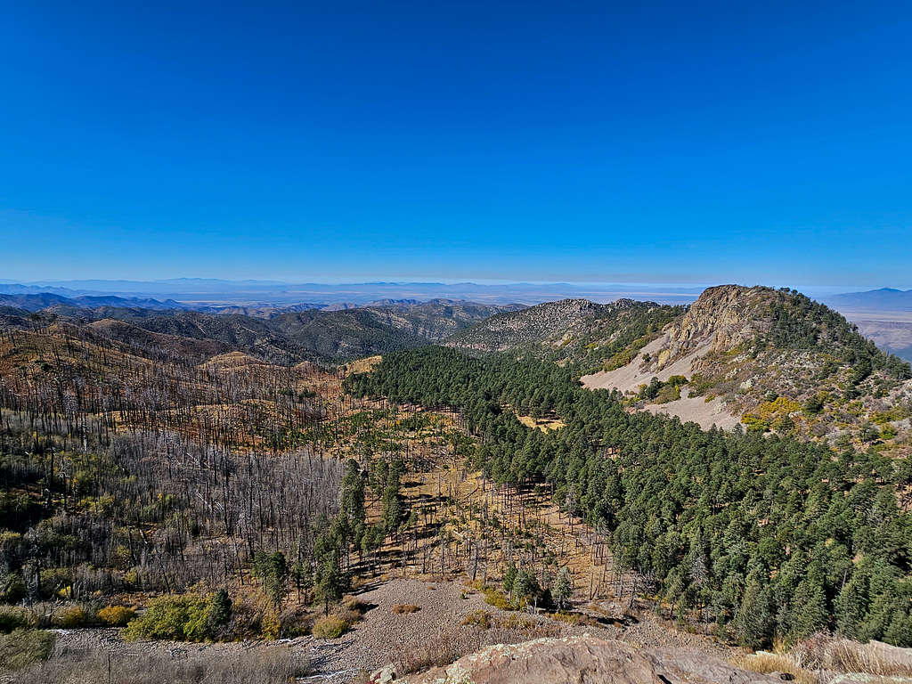
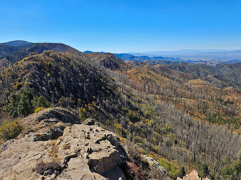
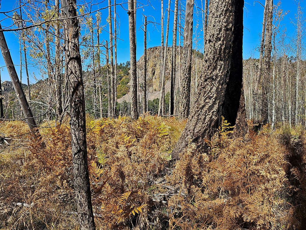
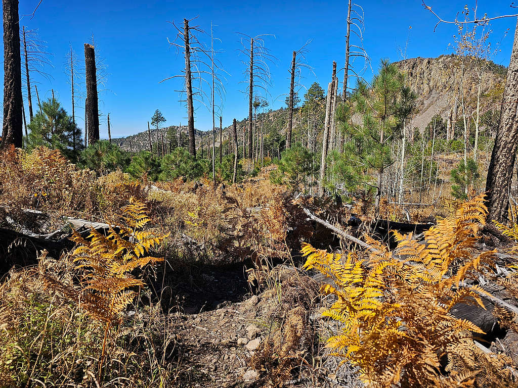
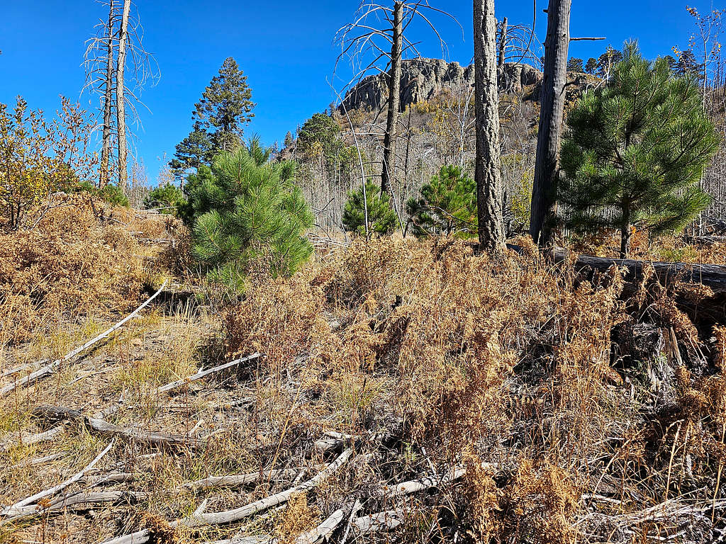
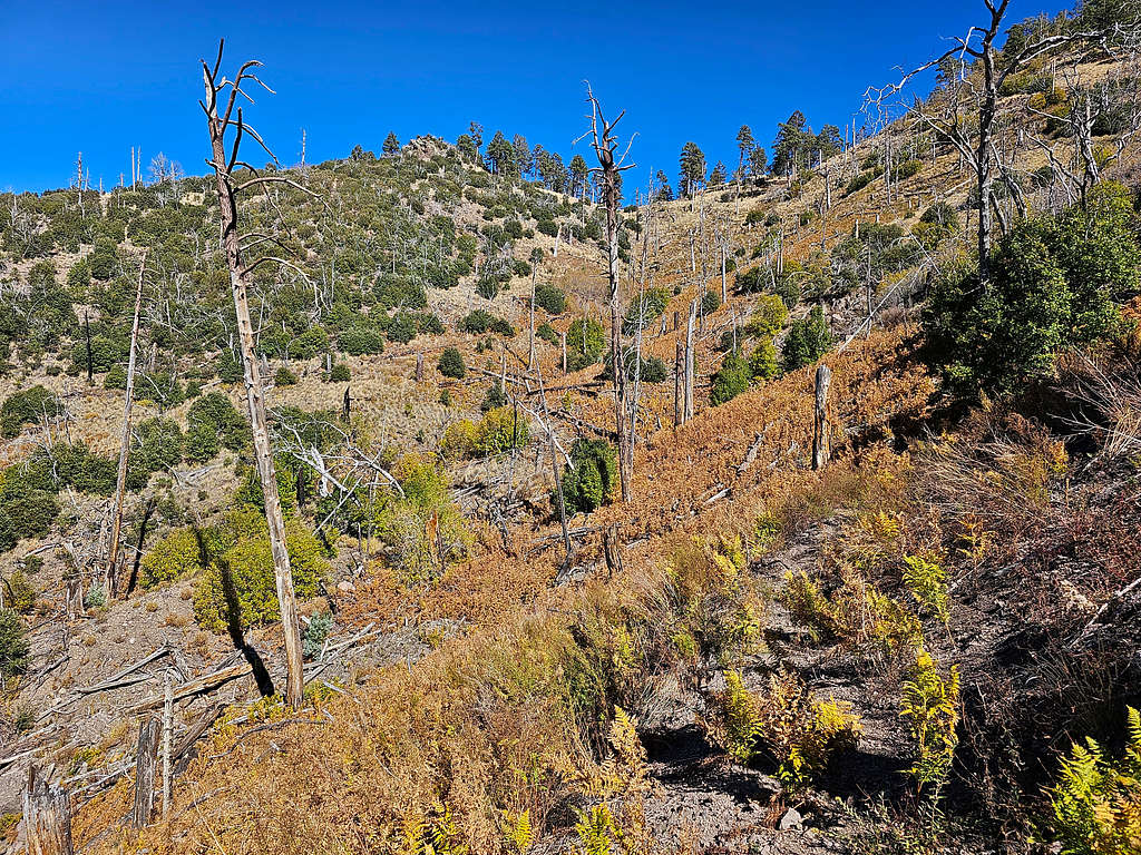
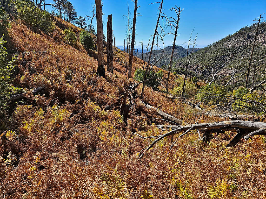
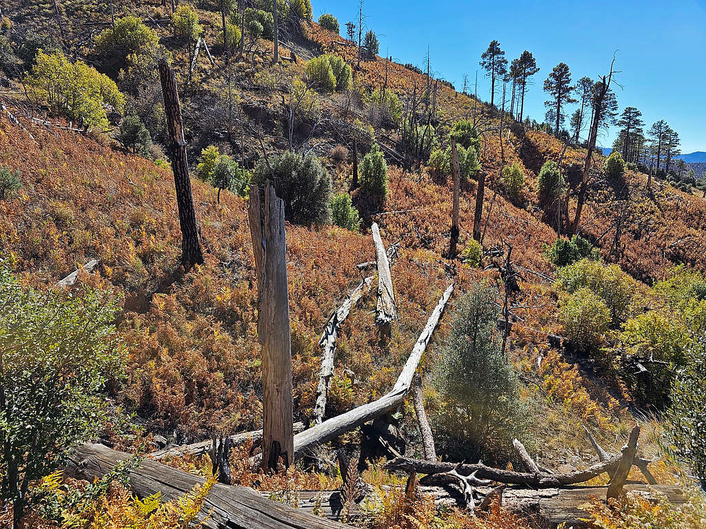
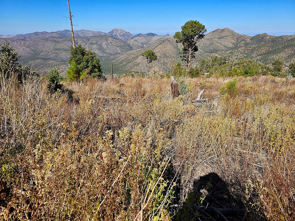
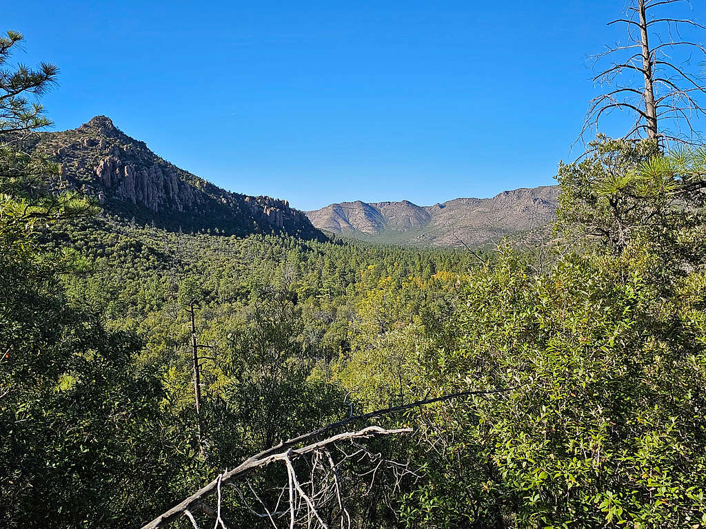
At 10:20 AM, 4.25 miles and 8140 ft, I reached a dirt road. I had reached the Barfoot Park Campground. I expected to see people there but despite the perfect weather, I was happy to find no one. Rested there a short time, then followed the dirt road 0.3 miles until I reached the trail to Buena Vista Peak. The trail got into an area where the forest had been devastated and small trees had begun to grow. Buena Vista Peak came to view.
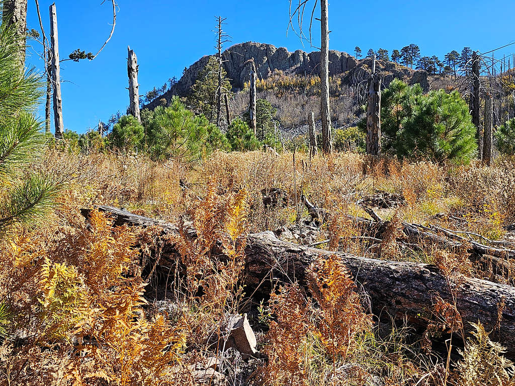
The 8803 ft Barfoot Peak (different from Barfoot Lookout which is the same thing as Buena Vista Peak).
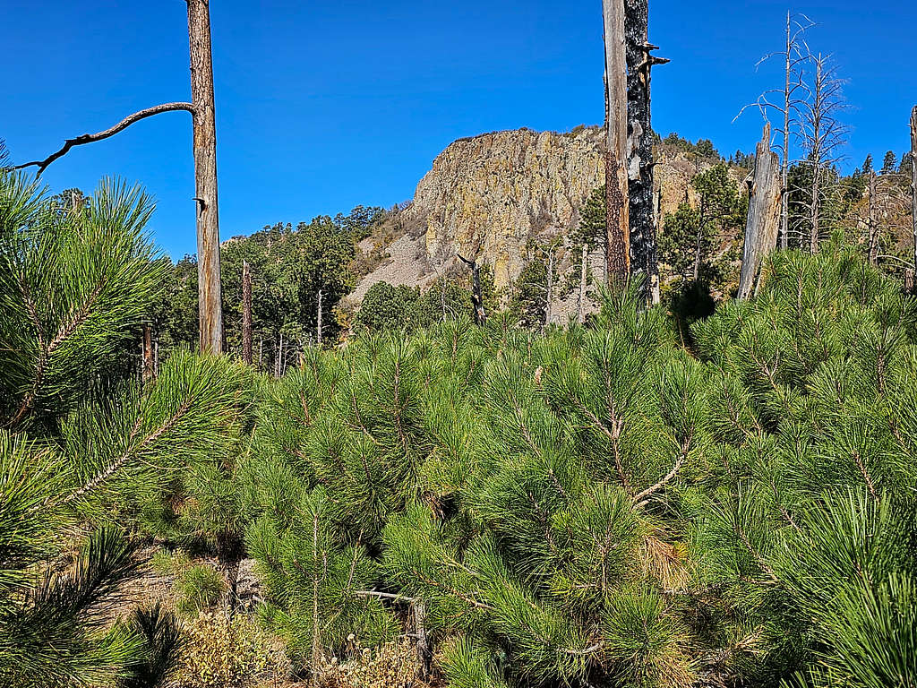
More views of the Bunea Vista Peak.
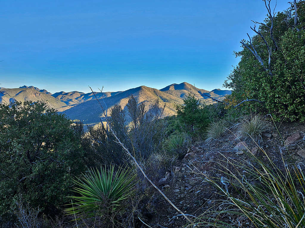
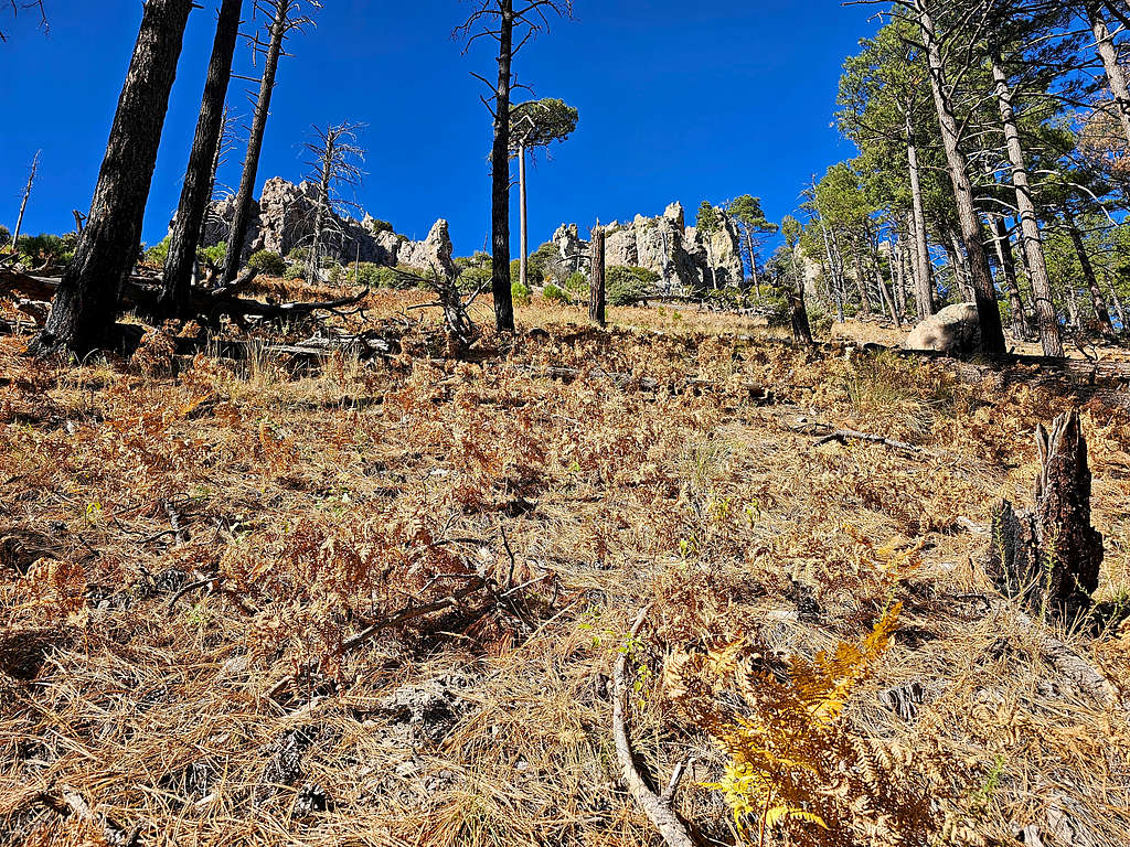
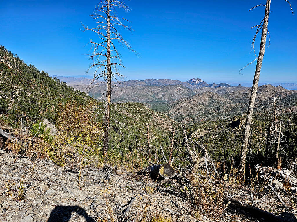
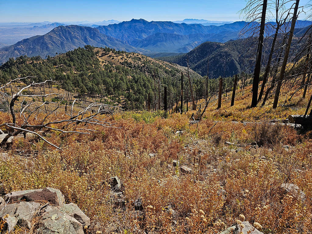
At 8640 ft, I reached a saddle to the south of Buena Vista Peak. Great views of Silver and Portal Peaks to the east.
My map had shown the trail going directly up the south ridgeline of Buena Vista Peak. Continued the trail and soon realized that it was going a different path than what I had put in my GPS. Went back to the saddle but found no other path. The trail took me to the summit via a slightly different path than what was in my GPS. Reached the summit at 11:08 AM, 5.46 miles and 8820 ft elevation. Was again happy to see no one there.
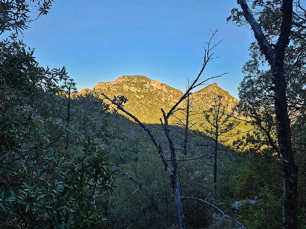
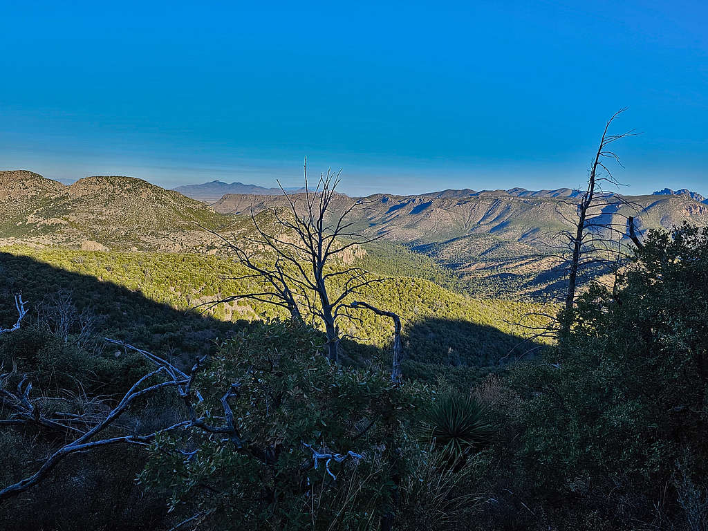
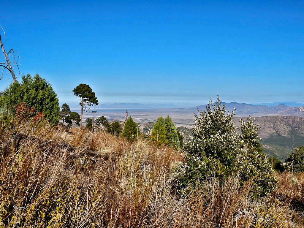
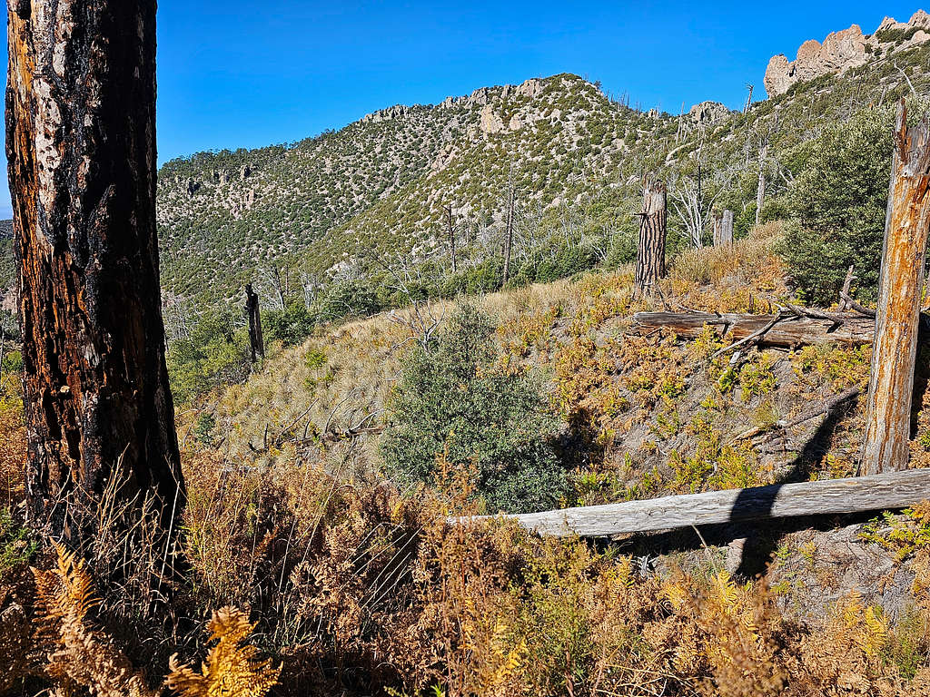
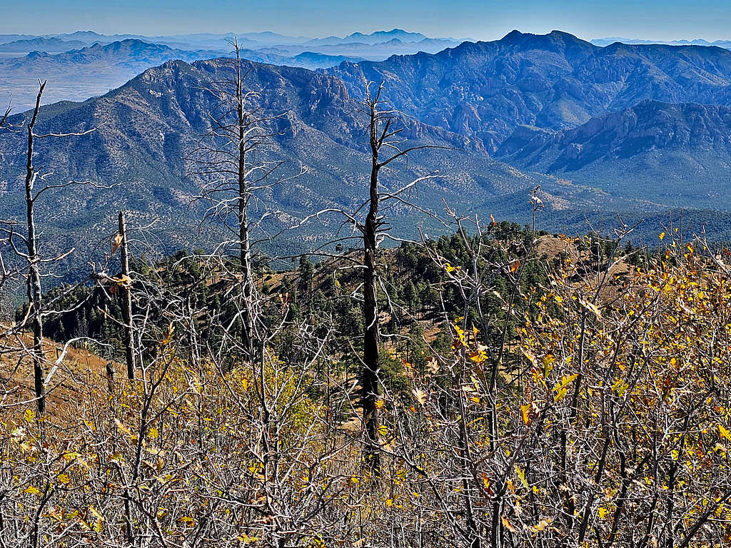
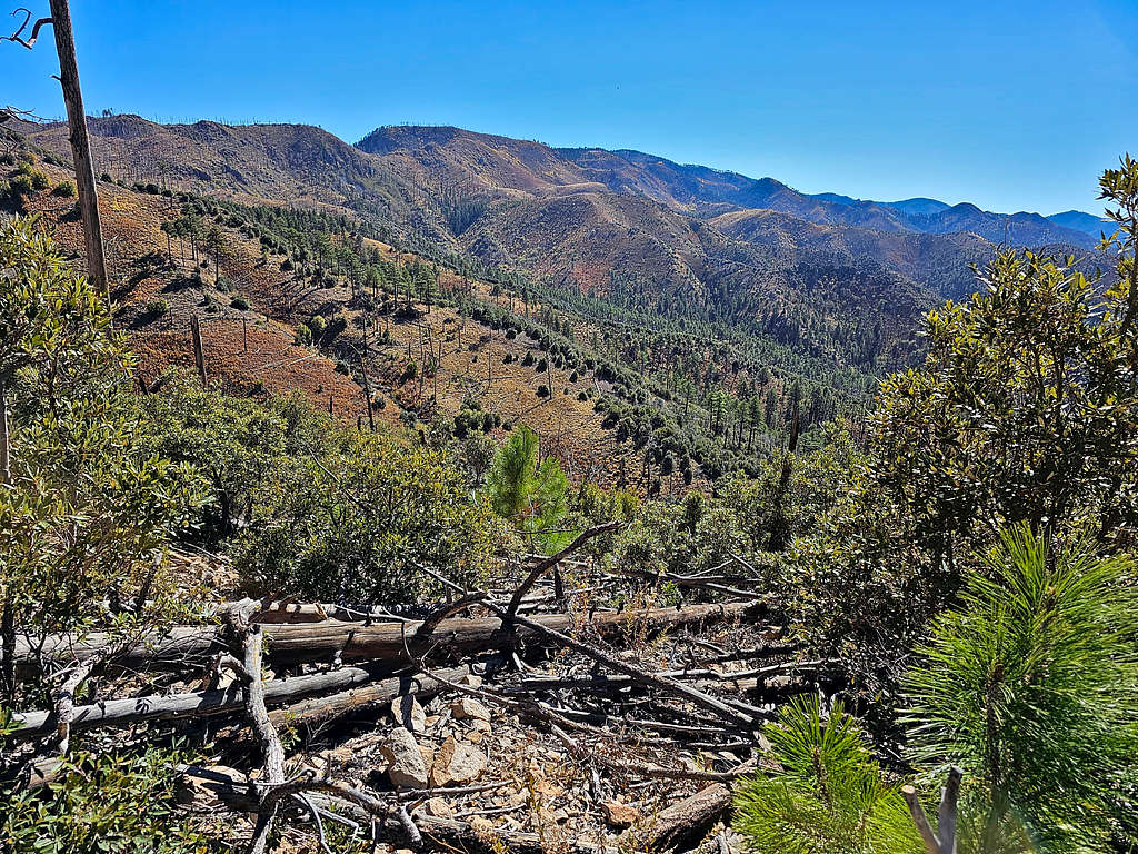
Looking west. Barfoot Peak and Ida Peak on the right. Barfoot Park seen.
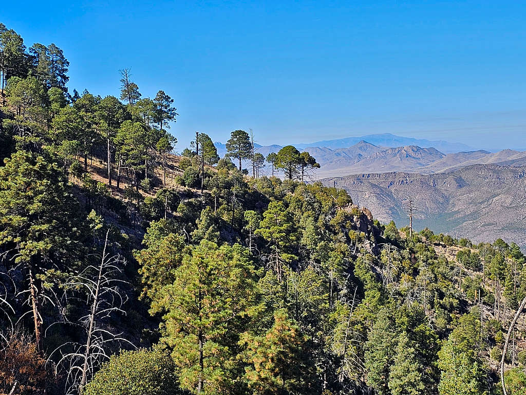
Cochise Head to the north/northwest.
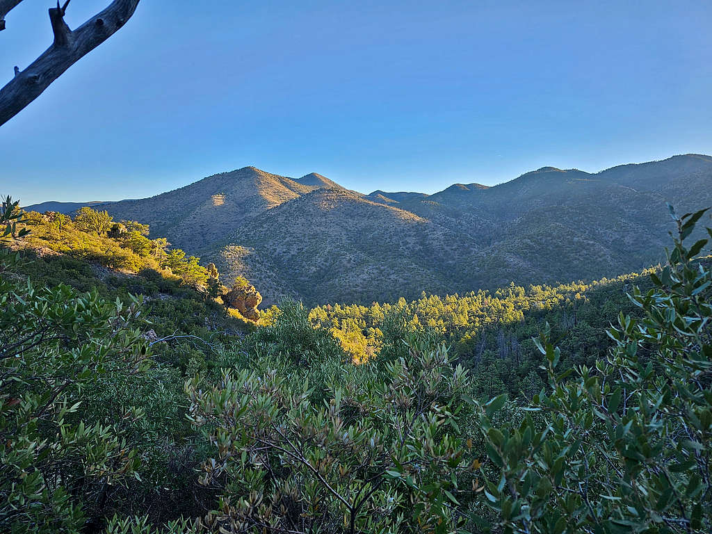
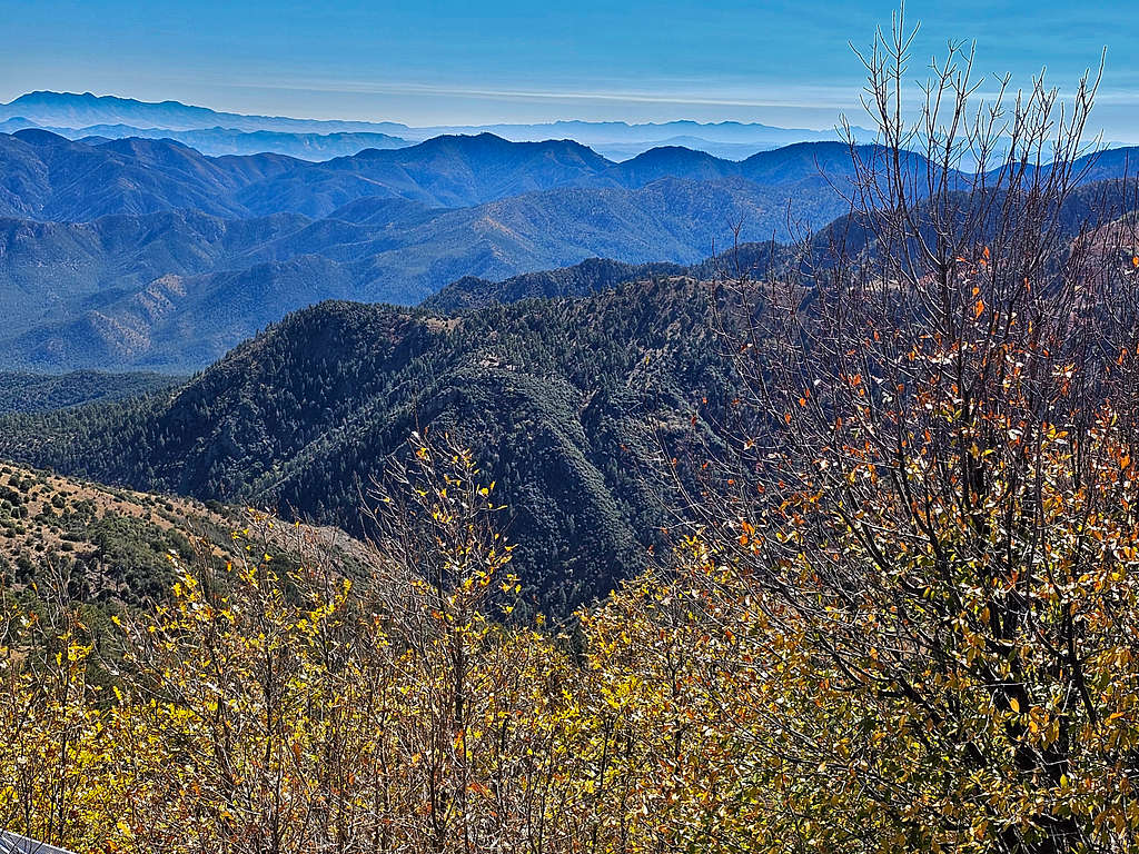
Looking northeast.
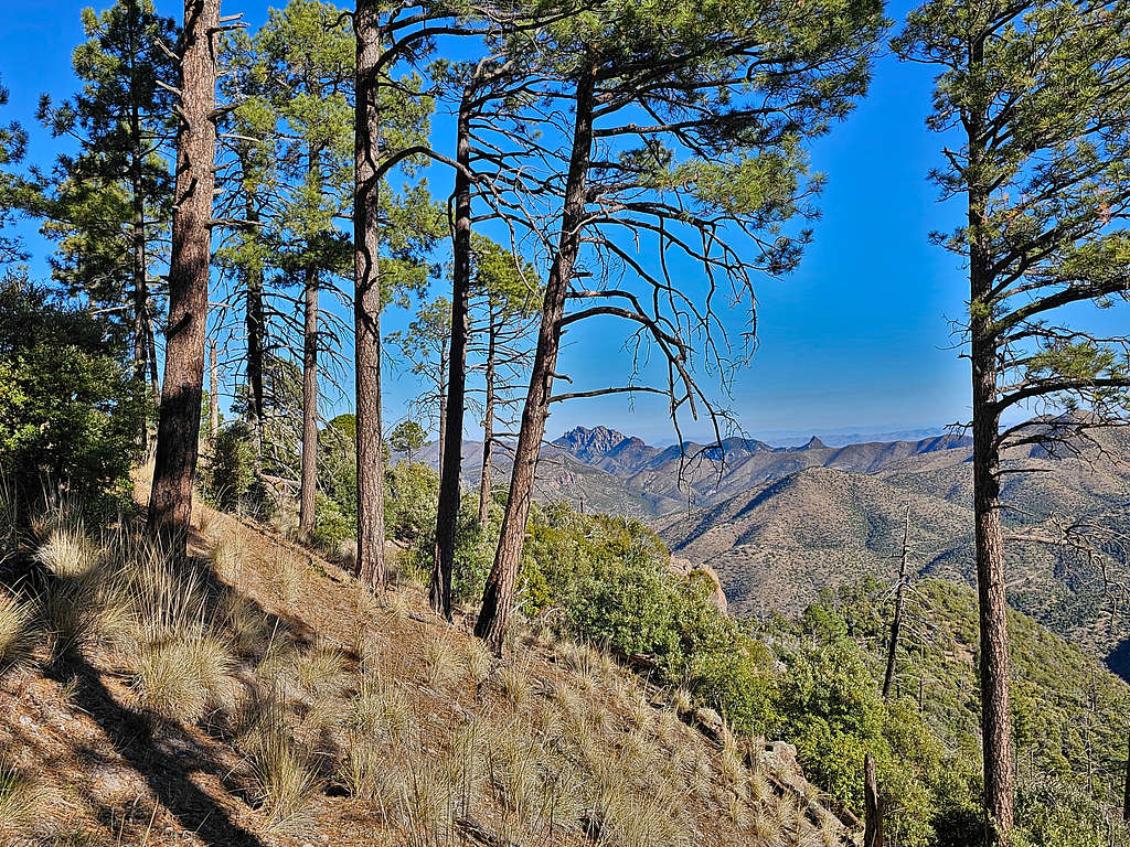
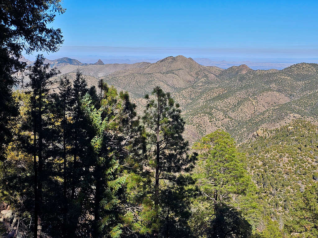
Zoomed views to the east and southeast. Silver and Portal Peaks seen.
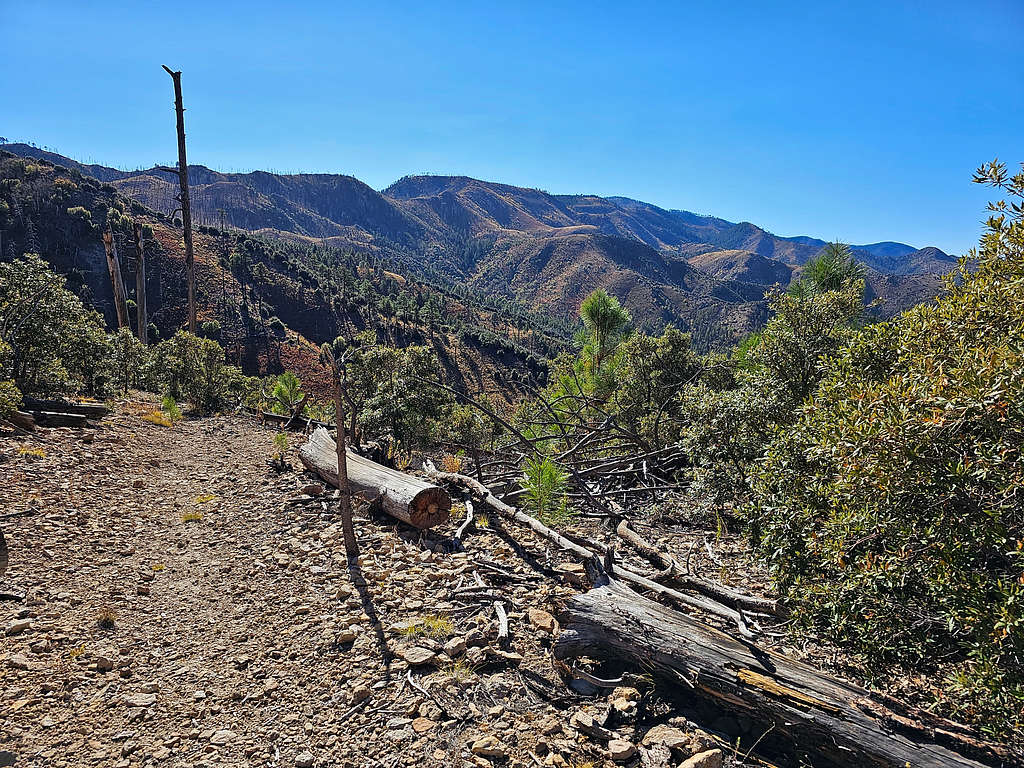
Looking south toward Flys Peak.

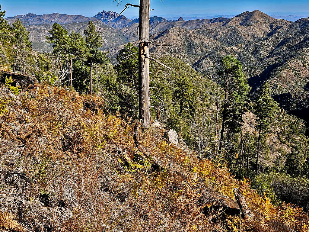
Left at 11:36 AM and began to go back the way I had come. More views of Buena Vista and Barfoot Peaks.
Back in the beautiful pine forest.
Start of the uphill toward Ida Saddle.
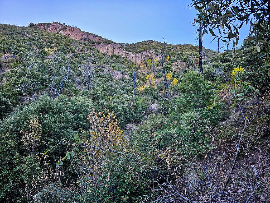
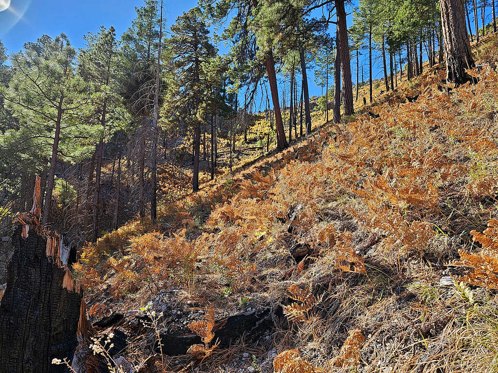
Pretty autumn gold on the south side of Ida Saddle.
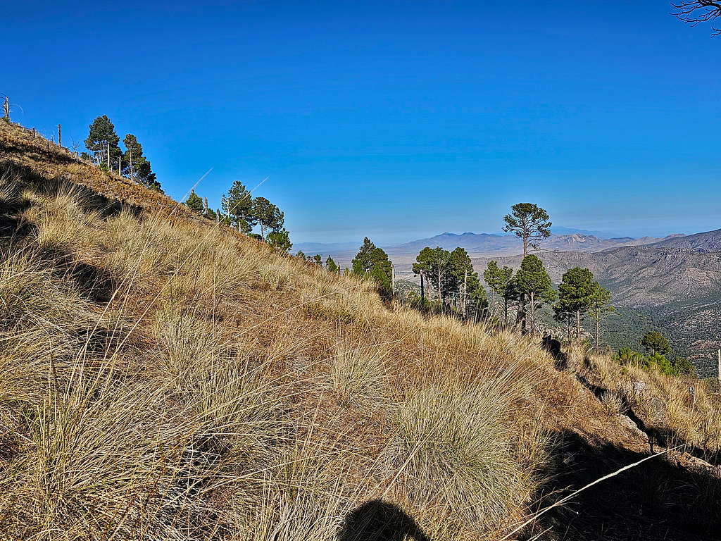
At 12:43 PM, 7.57 miles and 8140 ft, I was at Ida Saddle again. Rested a little and then followed the trail back down. Views north and northwest from the trail.
At 7300 ft, was back to the faint trail/bushwhack area again.
Was happy to be below 6900 ft where the trail became well-established again.
Reached my rental Jeep at 2:50 PM and 10.66 miles.
Red Tape
No fees or permits.
When to Climb
Spring and Fall are the best times to climb. Summer can get very hot and is the rainy season. Winter can potentially get very cold.