
|
|
Mountain/Rock |
|---|---|
|
|
32.05341°N / 109.32075°W |
|
|
Download GPX » View Route on Map |
|
|
Hiking, Mountaineering |
|
|
Spring, Fall, Winter |
|
|
7825 ft / 2385 m |
|
|
Overview
Rank: South Timber Mountain is Arizona’s 329th highest ranked peak
Prominence: 925 ft
South Timber Mountain rises in southeastern Arizona’s Chiricahua Mountains and is the highest point in Chiricahua National Monument Wilderness. No trail goes to its summit. From Bonita Canyon Road in Chiricahua National Monument, I hiked an unsigned and gated (closed to vehicles) dirt road to the abandoned King of Lead Mine. From the mine, I went 500 vertical feet up the slopes to the top of a broad ridgeline that I followed to the summit of South Timber Mountain.
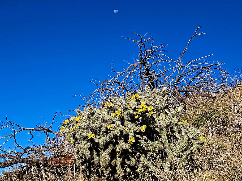
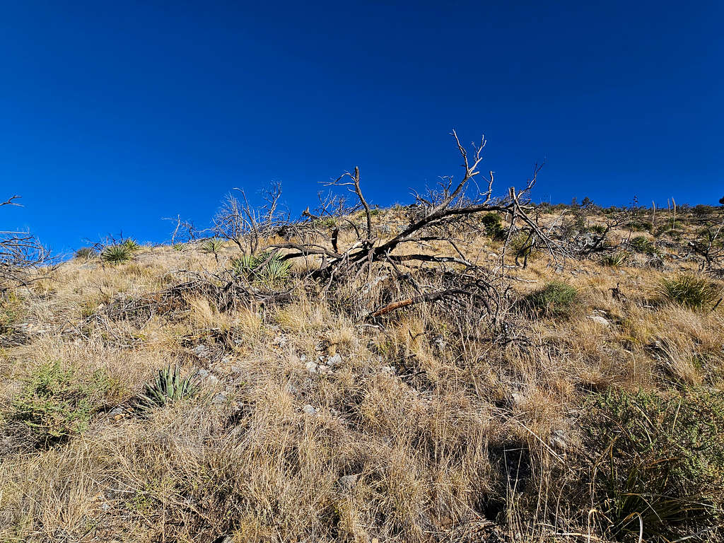
Just under the summit, I encountered a short area that required bushwhacking. The rest of the off-trail hike was on grassy slopes with deadfall and thorny plants that I easily bypassed. While walking off-trail, I was afraid of stepping on rattlesnakes but fortunately I did not see any during my hike on the first day of November.
Getting There
From the town of Wilcox, Arizona (86 miles east of Tucson on I-10), drive 31 miles east and south on Route 186 to the intersection with Route 181. Turn east onto 181 and go 3 miles to enter Chiricahua National Monument.
From the junction of Pinery Canyon Road and Bonita Canyon Road at the entrance of Chiricahua National Monument, drive 5.6 miles on Bonita Canyon Road to reach the dirt road that goes to King of Lead Mine. The dirt road is not signed and is hard to see from Bonita Canyon Road. There is no place to park there. I went 0.2 miles more and parked at a pullover that Google Map identified as Cochise Head Trail Parking (There was no sign and no trail there).
Route/Trip Report
Roundtrip Hike: 5.92 miles
Total Uphill: 1900 ft
Lowest Point: 6190 ft
Summit: 7825 ft
November 1, 2023
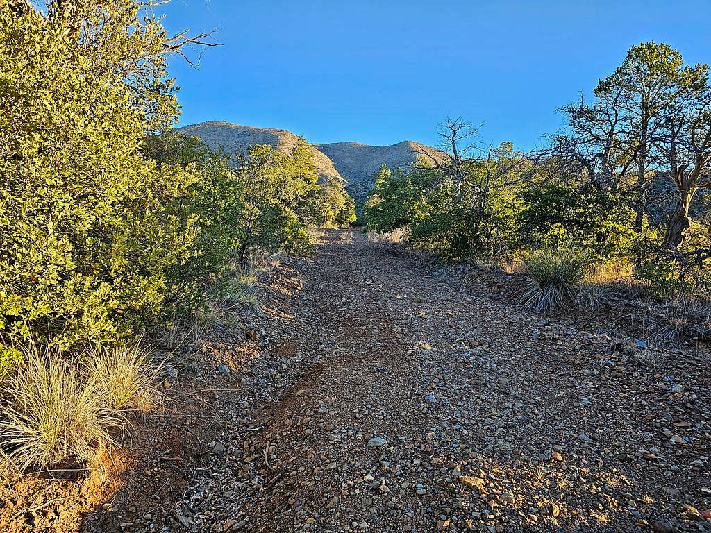
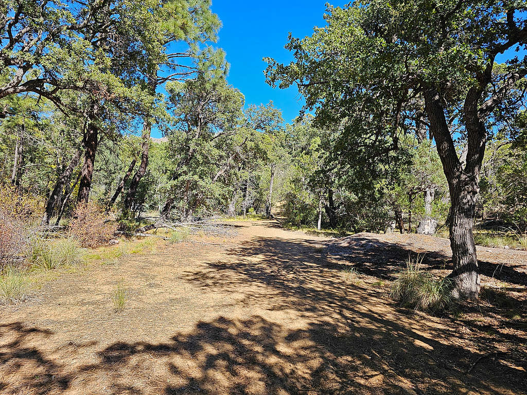
Started my hike at 7:00 AM at the pullover on Bonita Canyon Road (see Getting There), 6280 ft elevation. No one was there and I did not see any other people all day long. Hiked 0.2 miles down the road and turned on the dirt road that went to King of Lead Mine (6190 ft). The road seemed to be closed to vehicles, but I saw nothing that prohibited hikers.
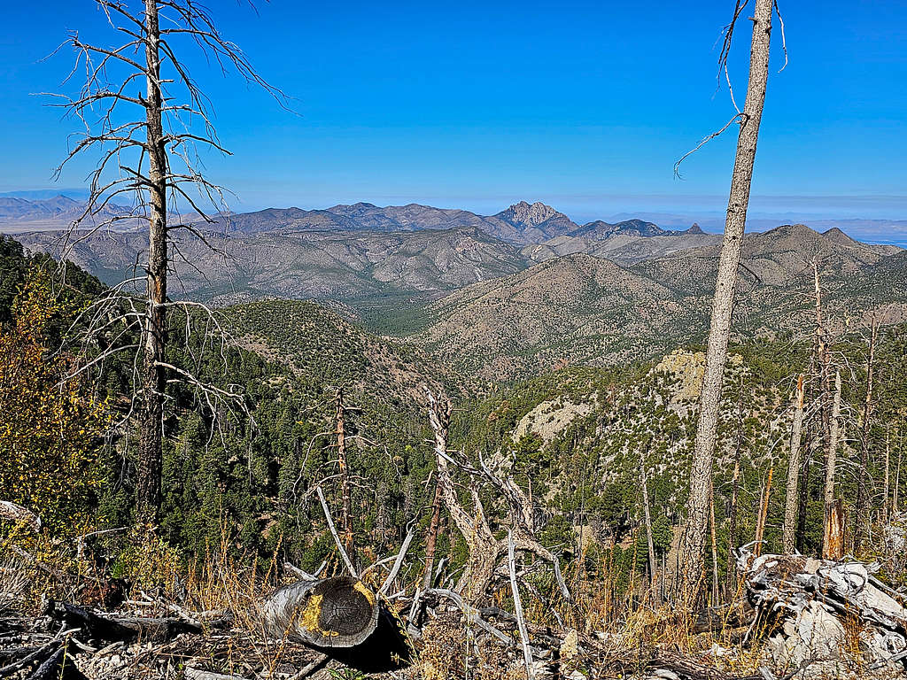
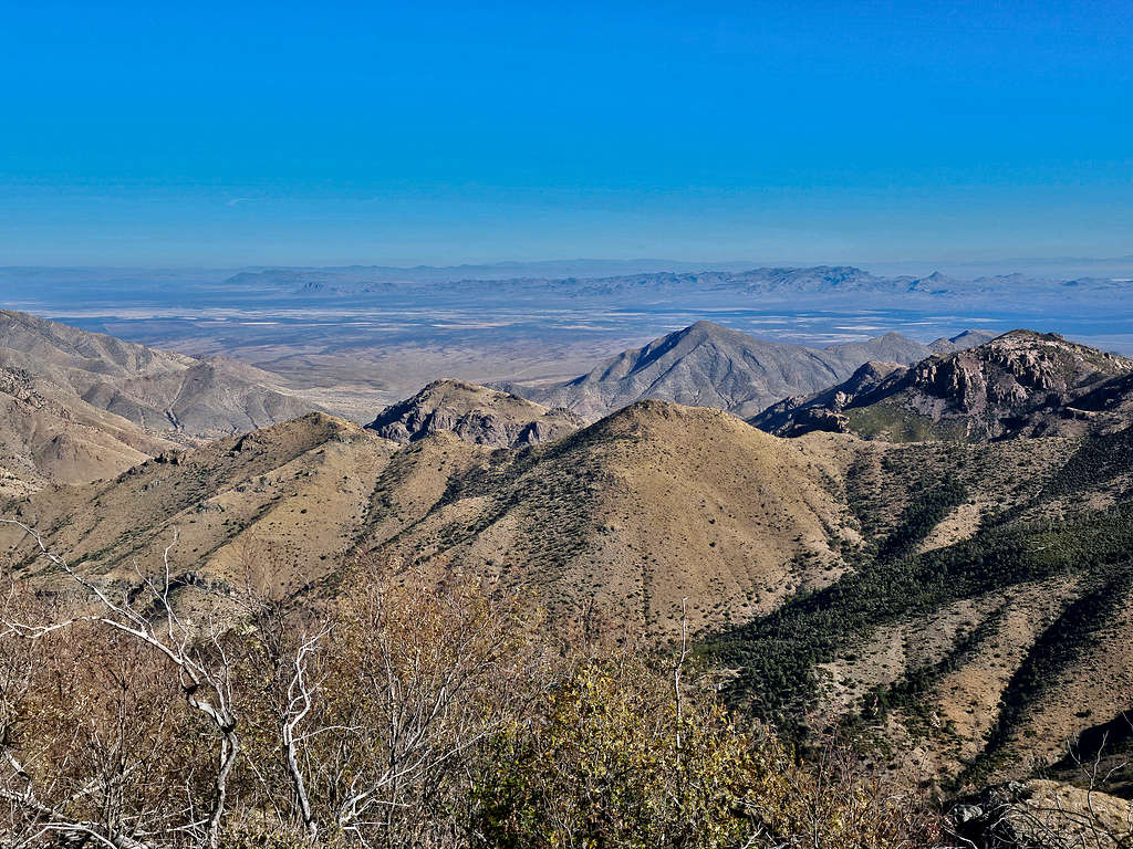
Looking south at Sugarloaf Mountain.
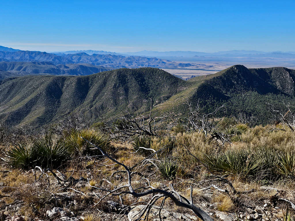
Point 7470 ft to the west.
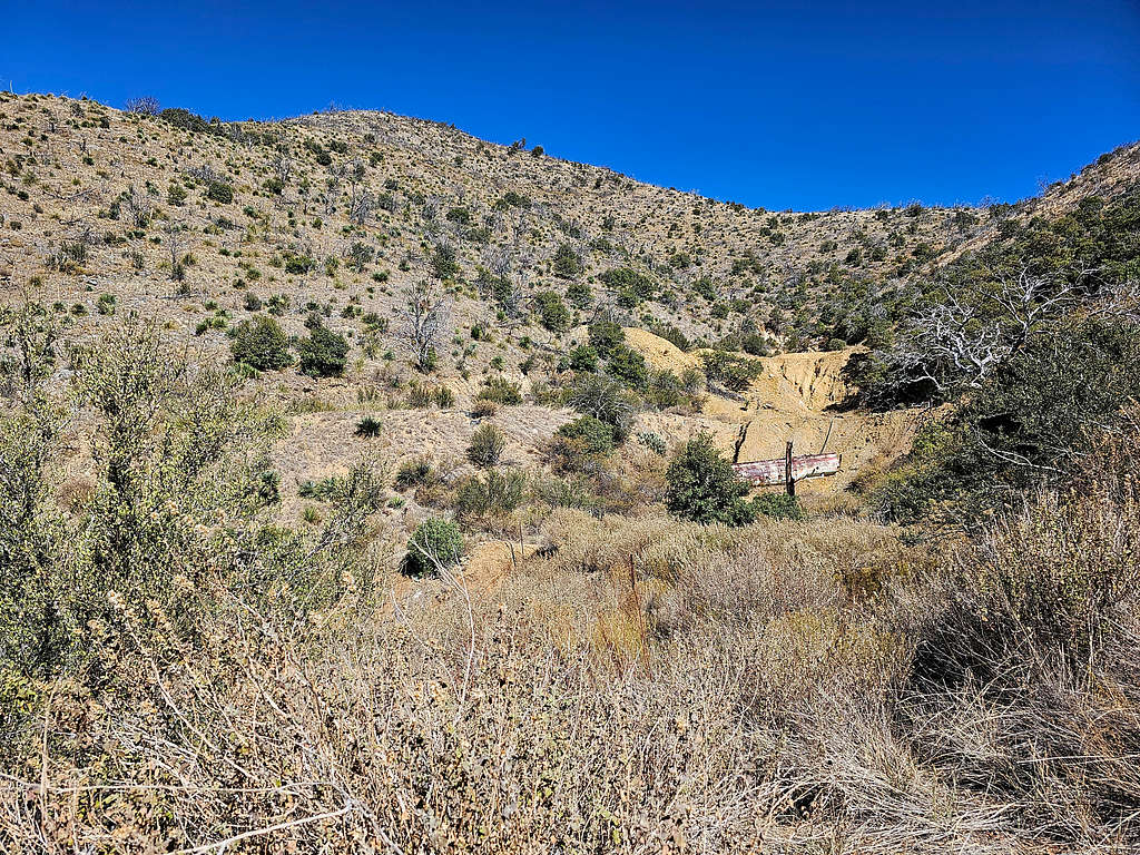
At 7:48 AM, 1.55 miles and 6930 ft, I reached King of Lead Mine.
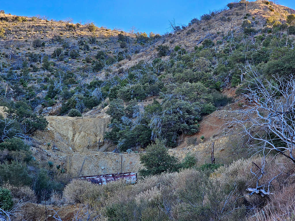
Left the road and began to hike up the steep grassy slope on the west side of the mine. Fortunately, did not come across any major obstacles.
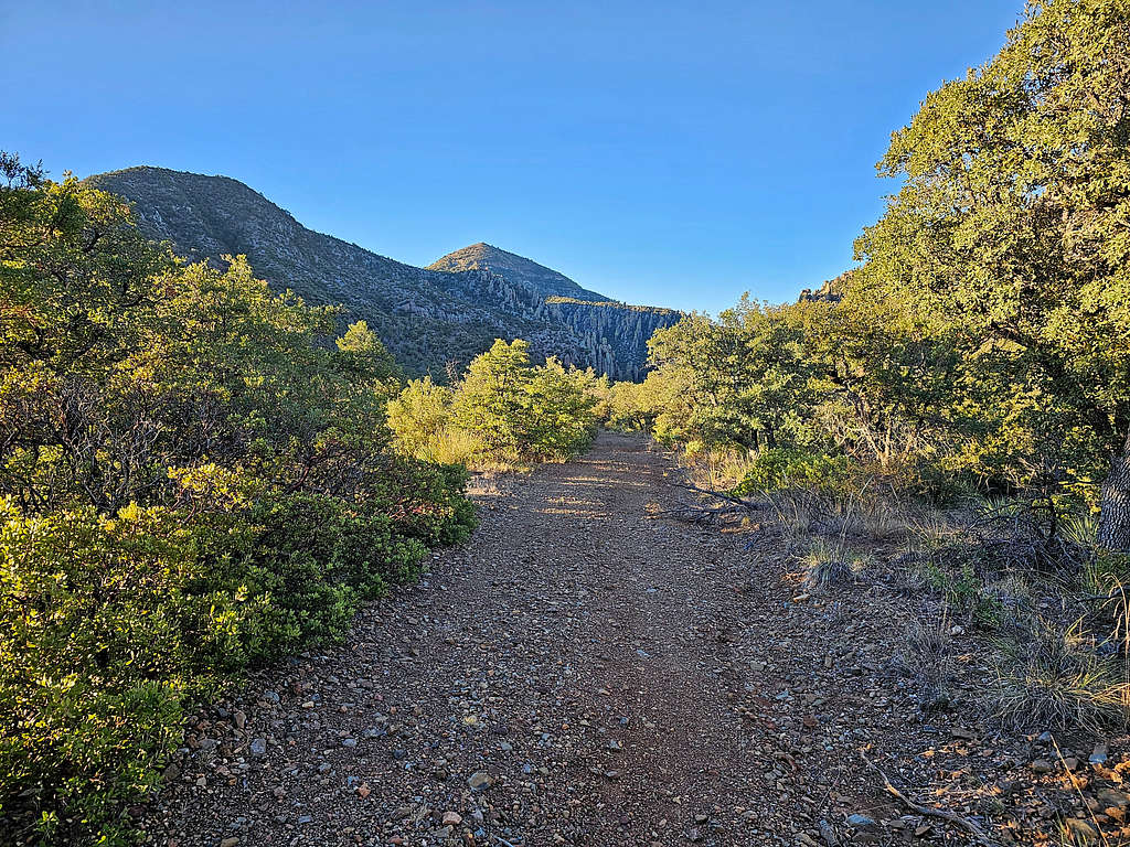
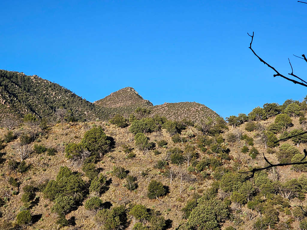
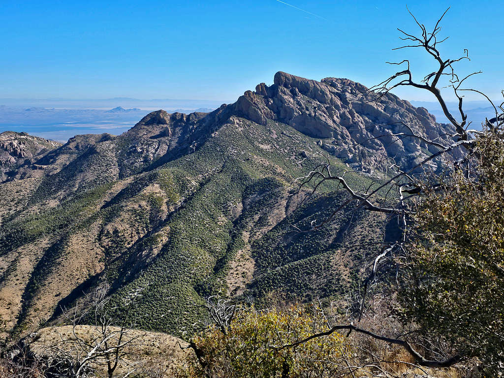
First view of the summit.
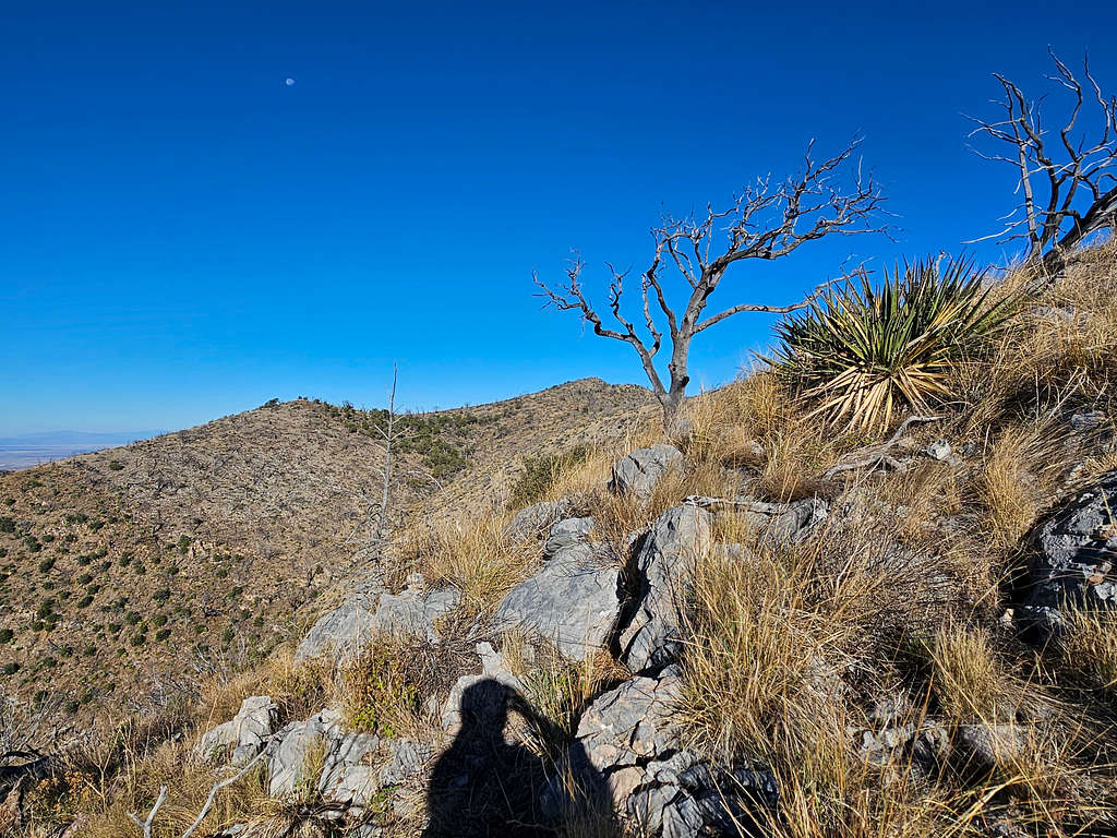
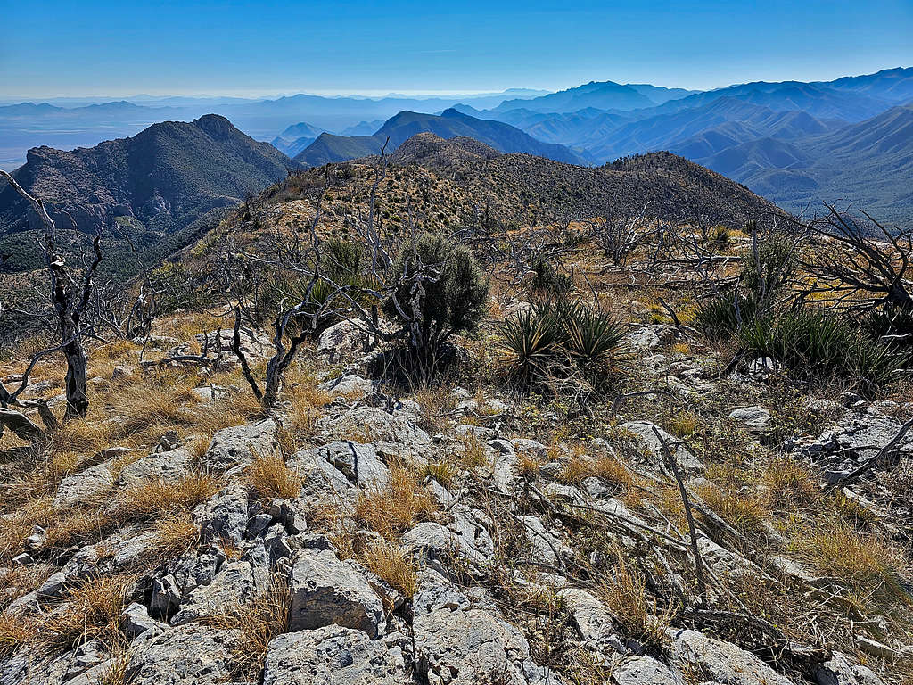
At 8:25 AM, 1.86 miles and 7500 ft, I reached the top of a broad ridgeline. Cochise Head came to view.
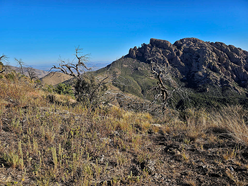
Sugarloaf Mountain 7310 ft and Point 7470 ft.
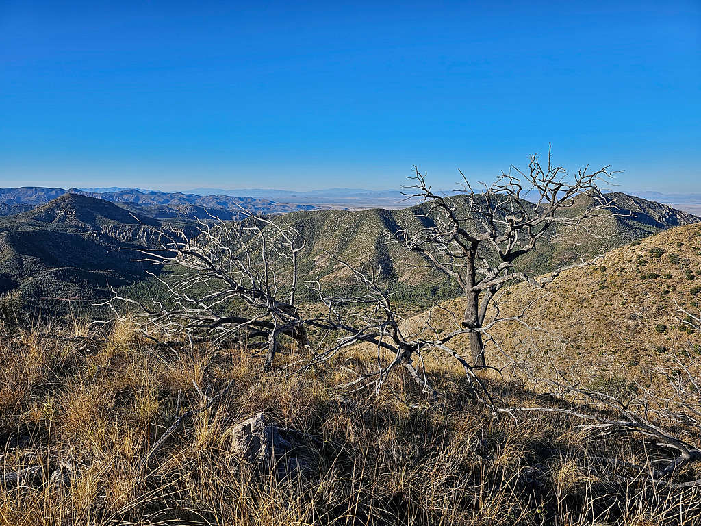
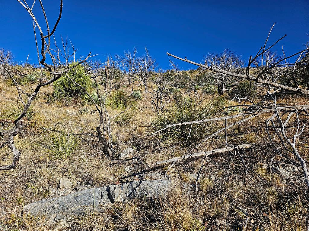
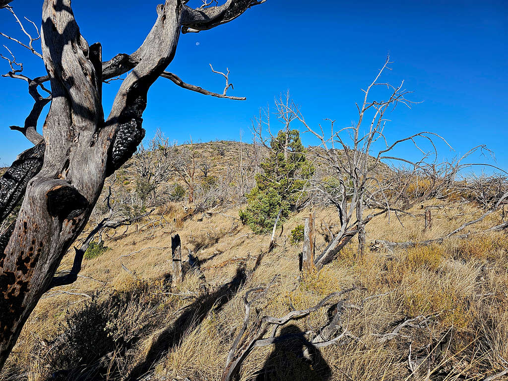
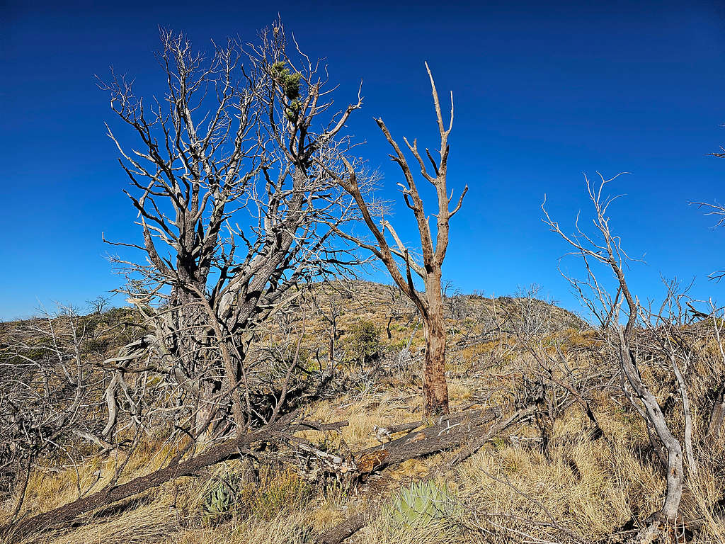
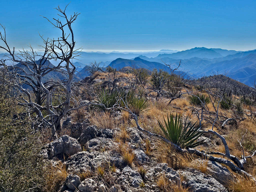
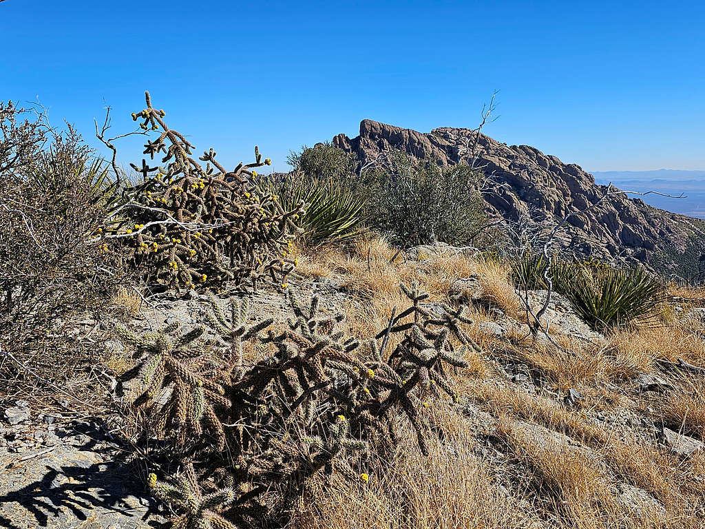
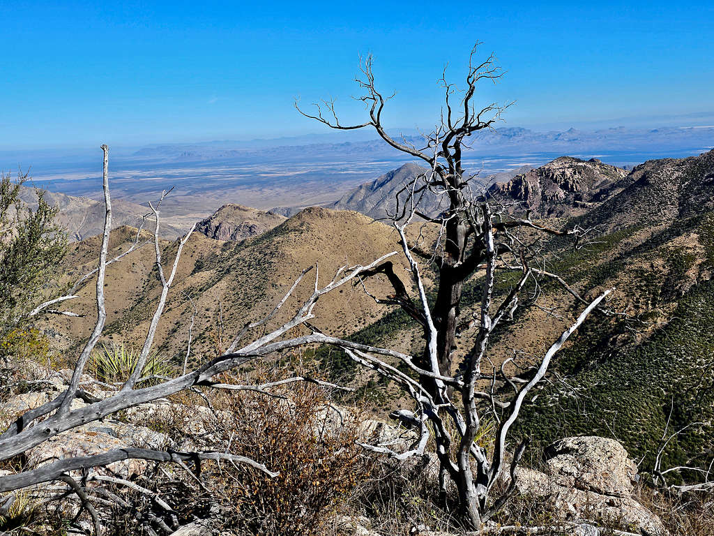
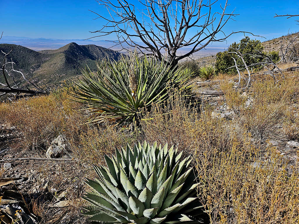
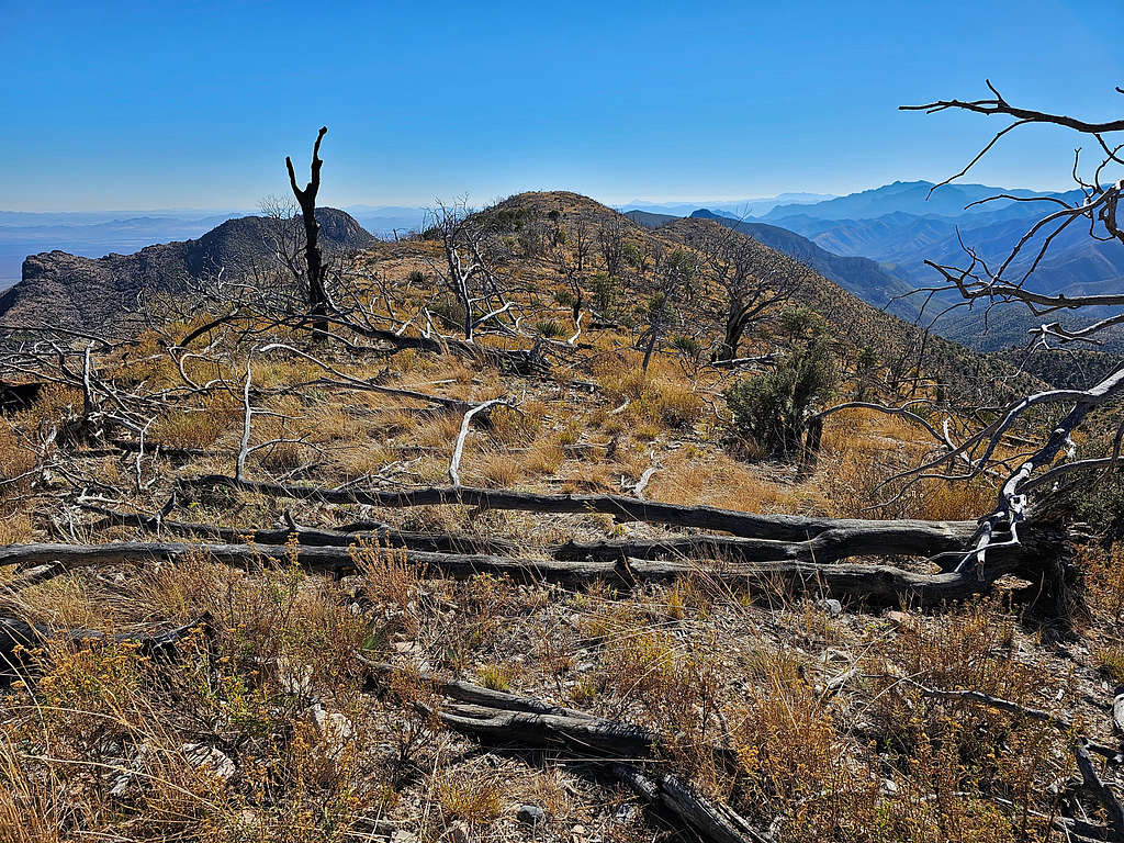
Headed northwest following the ridgetop toward the summit. Deadfall and dead standing trees made me think that a wildfire must have ravaged the area years ago.
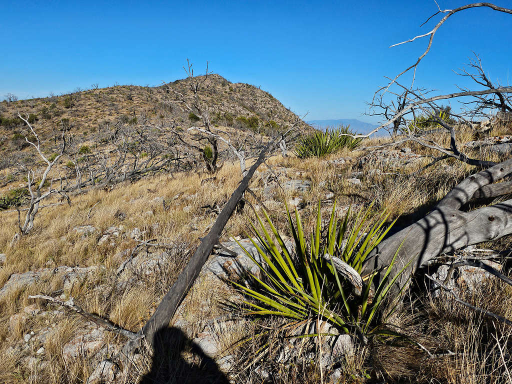
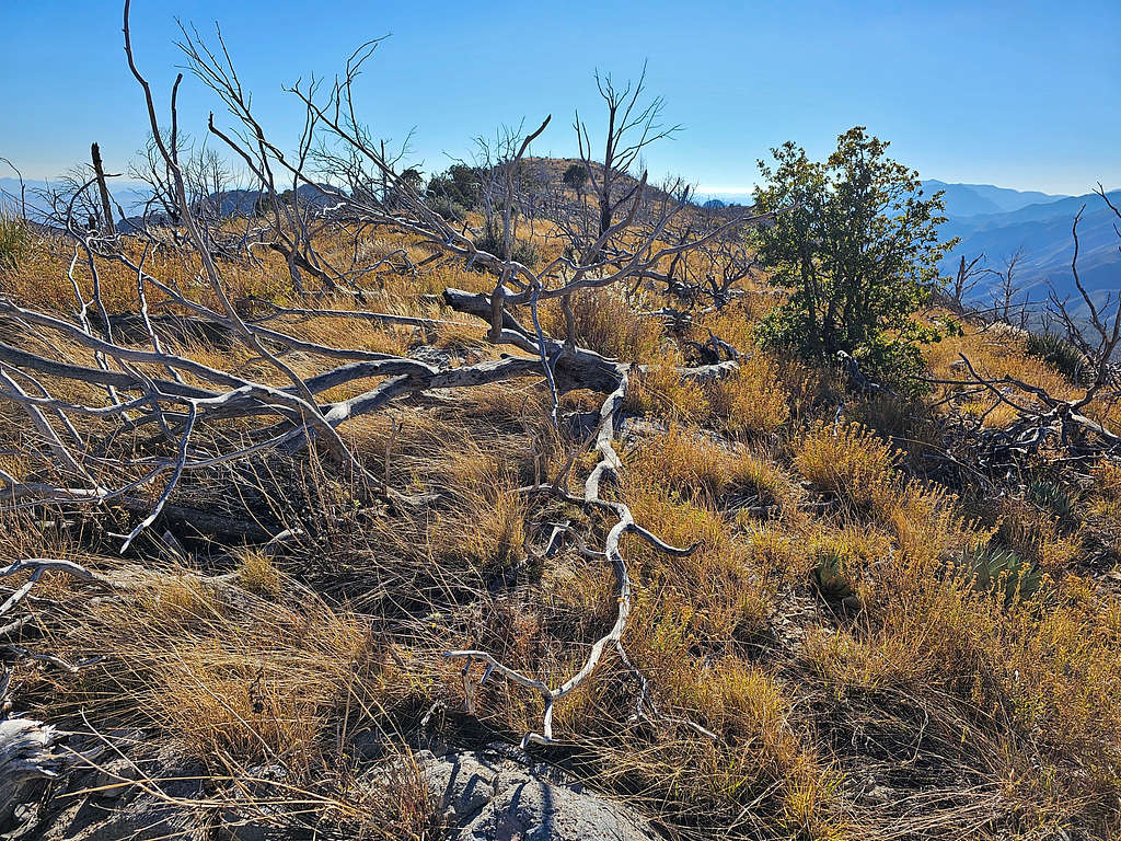
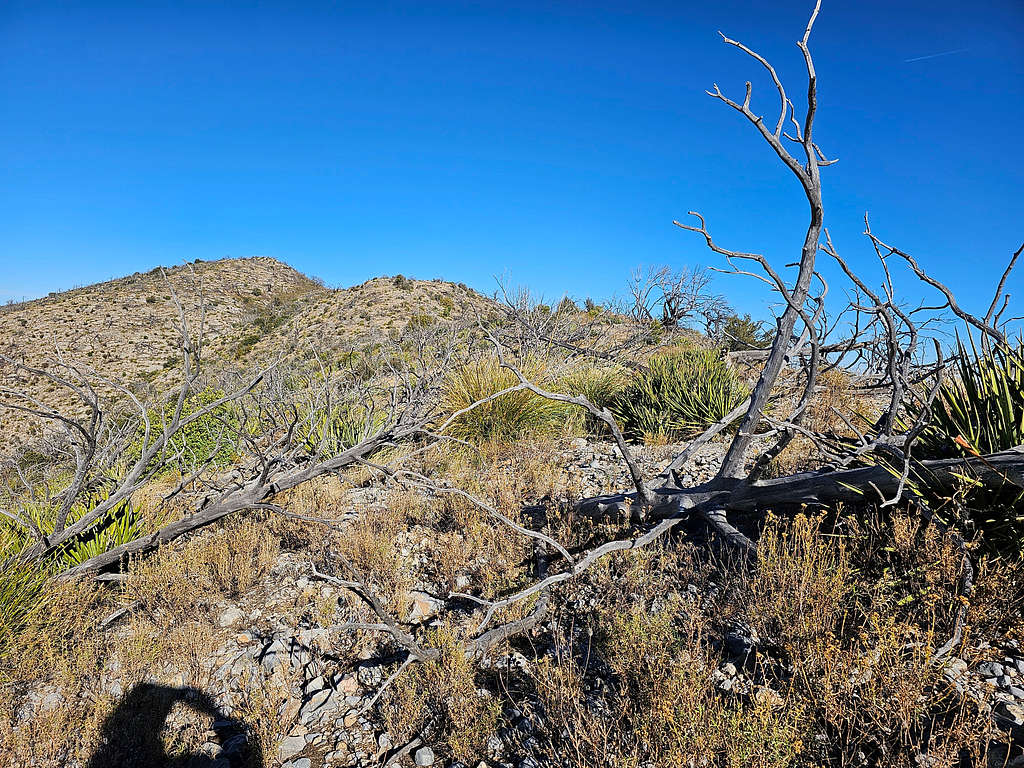
Just below the summit, I reached a dense growth of bushes. I thought it would be a shame to have to turn back at that spot, but I did find a way through. After that, my lower left leg hit the sharp needle of an Agave plant. It did hurt but I did not think much of it. A few minutes later, I was on the summit horrified to see a huge blood stain on the left leg of my pants below the knee. I quickly raised the pants expecting to see a huge wound gushing out blood. My sock and sock liner had big blood stains, but I could only see a tiny puncture wound that had already almost stopped bleeding. How did such a tiny wound bleed so much? Well, all I cared about was that it had stopped bleeding. I put a band-aid over it, and it did not bother me anymore. It was 9:19 AM, 2.93 miles and 7825 ft elevation.
Looking north at Rough Mountain7277 ft and Wood Mountain 7326 ft behind it.
Dunn Spring Mountain 6505 ft to the north-northeast.
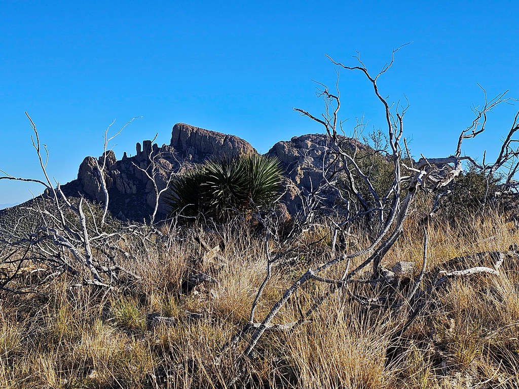
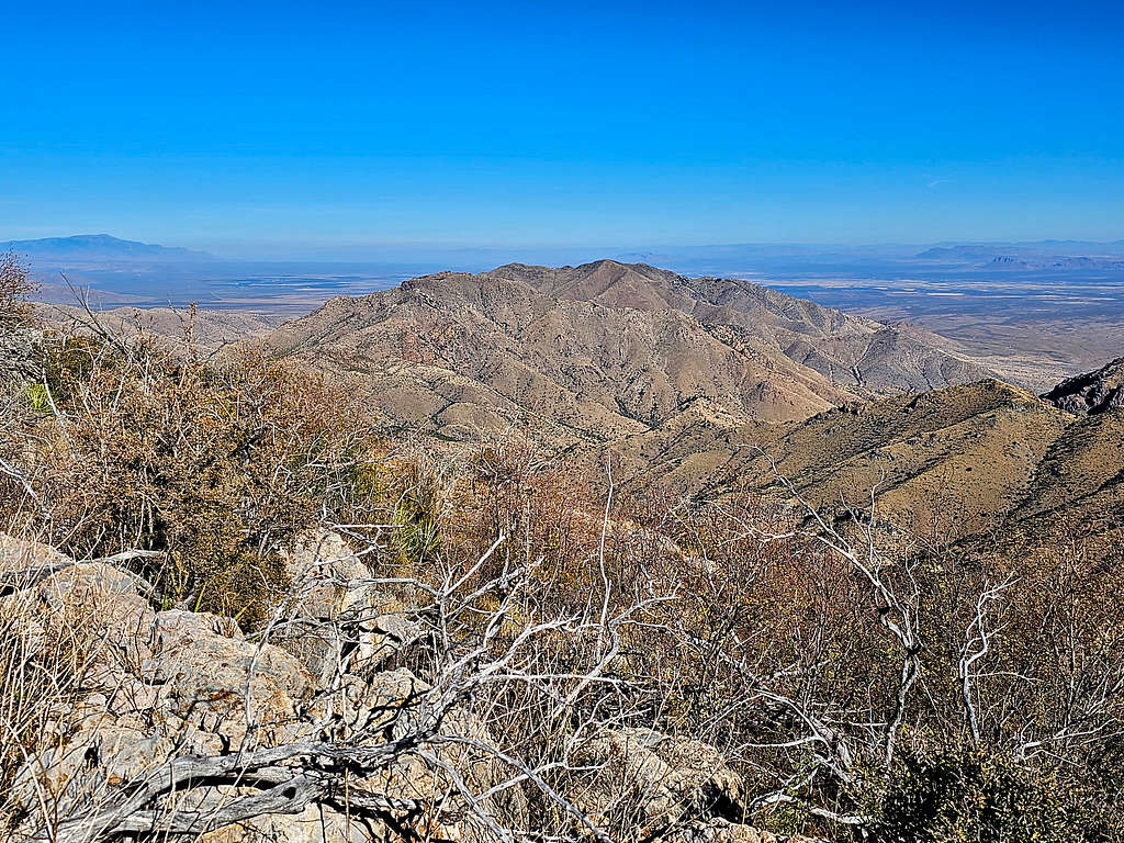
Cochise Head 8113 ft to the northeast.
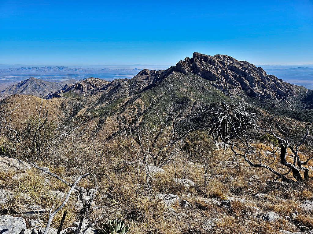
Point 7495 ft and Maverick Mountain 7290 ft to the southeast plus the ridgetop I climbed.
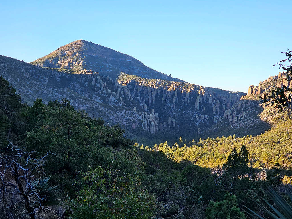
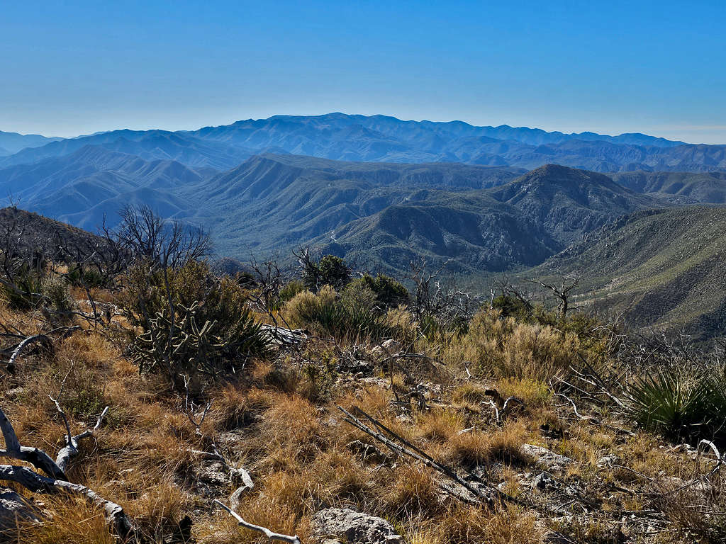
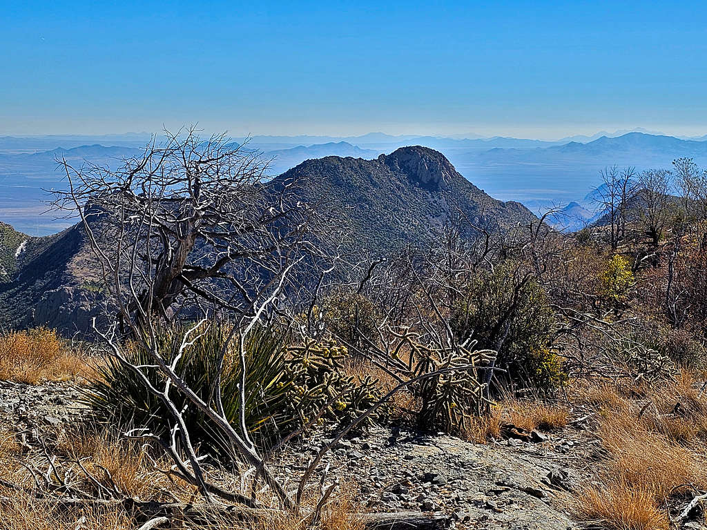
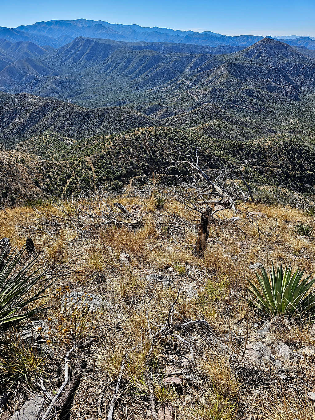
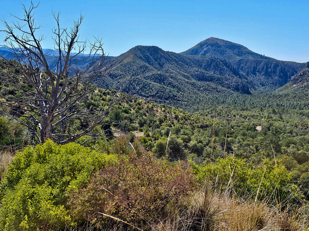
Chiricahua Peak 9759 ft. The closer peak on the right is Sugarloaf Mountain 7310 ft. Looking south.
Looking southwest. Point 7470 ft seen.
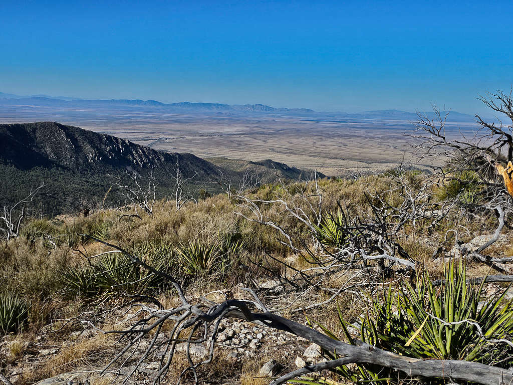
Looking west at the plains.
For the return trip, I had thought of going down to Whitetail Pass, but I really did not want to end up bushwhacking, especially with an injured leg, so I decided to go back the way I had come up from.
Looking down at the ridgetop I had climbed. Maverick Peak and Peak 7495 ft seen.
Cochise Head.
Dunn Spring Mountain.
Peak 7495 ft.
Peak 7470 ft.
Continuing down the ridgetop.
I then reached the steep slope I had climbed earlier.
Reached the mine at 11:28 AM, 4.47 miles and 6930 ft.
Hiked the road back to Bonita Canyon Road.
Reached my car at 12:12 PM.
Red Tape
No permits or fees.
When to Climb
Spring and fall are the best times. Summer can be very hot. Summer is also the rainy season. Winter can potentially get very cold.