Cleveland Mountain 3-30-2013
View Cleveland Mountain in a larger map
I have been trying to get to this one since spotting it on a recent trip up Philadelphia Mountain, so when I saw that a few other NWHikers had made it up recently I jumped on the opportunity to poach their trench in some good weather. 68 degree temps were in the forecast and while I don't think it quite got there surrounded by snow a few thousand feet up, this was no doubt the warmest hike I can remember since last October.
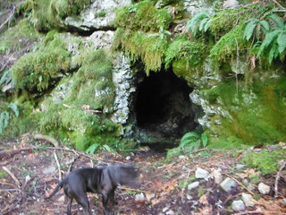
I parked at the small makeshift campsite less then 100 feet up the spur road just before the bridge over Money Creek. On a side note, signs indicate that Miller River road is closed after Money Creek, and detours lead further East on Highway 2. I planned on taking the spur road to it's end but within 1/2 mile I noticed some red and orange flagging near a bootpath heading directly East, and could not help but check it out. Heading off trail is always a risk but this one came with a reward: a few hundred feet up the path seemed to come to and end at an old mine. I ventured no more than 20 feet in with a headlamp, and could see no sign of an end. As exciting as it would be to explore further, my best judgement prevailed and I chose to return on a later date with some company.
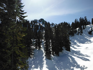
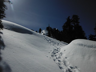
I bushwhacked to climbers right of the mine and the exposed rock surrounding it trying to pick up the path. Eventually I worked my way climbers left (Northeast) where I ran into a bootpath near the crux of the North ridge around 2400 ft. This may or may not be a completely separate path from the one I started up. Snow patches soon began to appear and it was mostly solid above 3200 ft as I crested over a small bump labeled "Temple Mountain" on my green trails map.
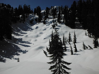
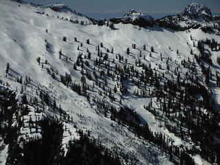
Just above 4400 ft I encountered a few pairs of snowshoe tracks from NWHikers EastKing, flatsqerl, and R3H - Thanks fellas! I followed the tracks up a small knife-edge and stopped for lunch above a small pond hidden under several feet of snow. From where I rested, I could see the snow-draped summit bathing in warm sunshine. It was clear I would need to approach from the south, which motivated me to hurry up before it got too soft and sticky up there.
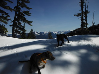
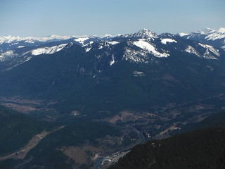
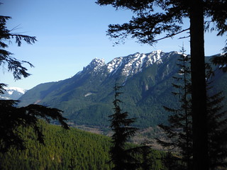
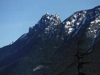
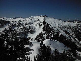
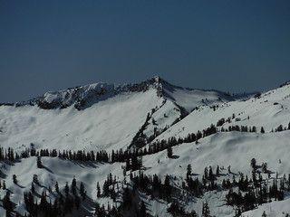
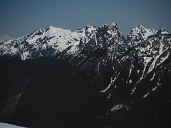
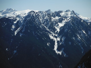
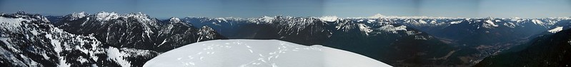
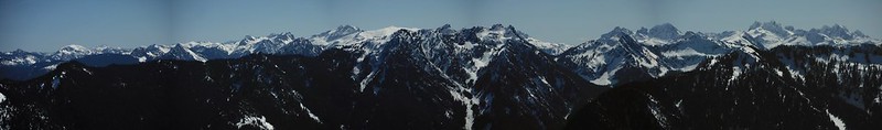
The last push to the top took a lot out of me, and the dogs were both panting harder than usual. I'm not sure if I am just a bit out of shape from a lack of regular hiking recently, or if the higher temps today were really taking such a toll on us all. The summit views greatly surpassed my expectations. Lennox Mountain looked stunning from this perspective, as did Baring and Index.
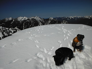
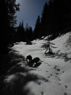
On the descent we followed the NWHiker tracks until the snow thinned enough on the road to remove snowshoes. With one more summit down and both dogs exhausted, I went home satisfied!
Comments
No comments posted yet.
