
|
|
Mountain/Rock |
|---|---|
|
|
43.65347°N / 110.91871°W |
|
|
Download GPX » View Route on Map |
|
|
Mountaineering |
|
|
Summer |
|
|
10916 ft / 3327 m |
|
|
Overview
Fossil Mountain rises in Wyoming’s Teton Range to the southwest of Grand Teton. Easiest access is from the town of Driggs, Idaho to the west. From Darby Canyon Trailhead, a trail takes you up to a couple of caves known as Wind Cave and Ice Cave. Beyond the caves, you can leave trail and find your own way up a broad gently sloped valley to a 9980 ft saddle at the base of the summit of Fossil Mountain where steep talus fields lead to the summit.
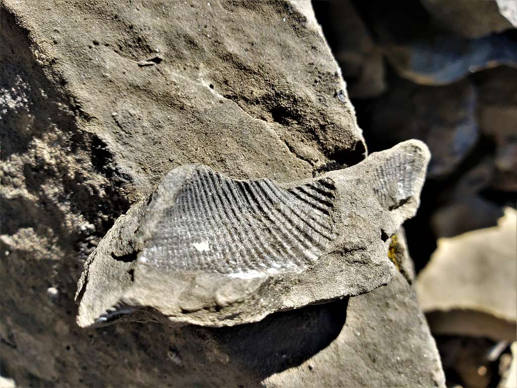
Fossil Mountain is so called because of the abundance of small fossils near its summit.
From the summit of Fossil Mountain, you will have spectacular views of Grand Teton and other nearby jagged peaks.
Getting There
Directions to Darby Canyon Trailhead:
From the traffic light in Driggs, Idaho drive 3 miles south on Route 33 and turn east onto W 3000 S. Drive 3.2 miles and turn south onto S Stateline Road. Go 600 ft to where the road turns east and changes name to Darby Canyon Road. Drive 4.25 miles to the end of the road at Darby Canyon Trailhead. Pavement goes away halfway into W 3000 S. When I was in the area, the dirt roads were well graded and appeared passable by any vehicle (in dry conditions).
Route/Trip Report
Elevation at Darby Canyon Trailhead: 7040 ft
Summit of Fossil Mountain: 10916 ft
Length of this hike as shown on map: 10.7 miles
September 4, 2022
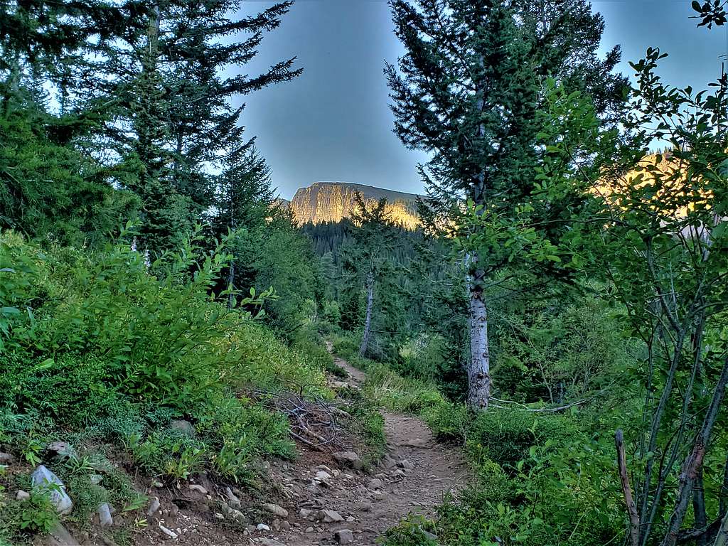
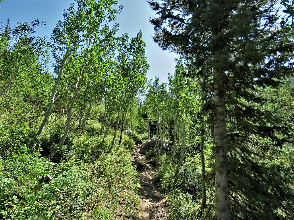
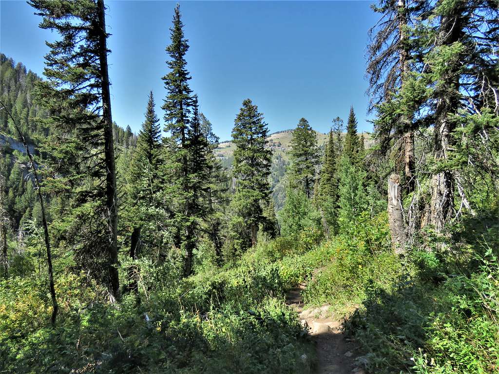
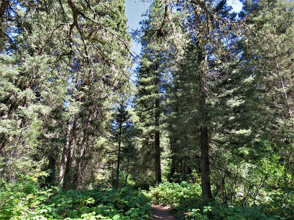
Jeff and I started our hike from Darby Canyon Trailhead at 6:55 AM. Got on the trail to Wind Cave following it up the South Fork of Darby Canyon.
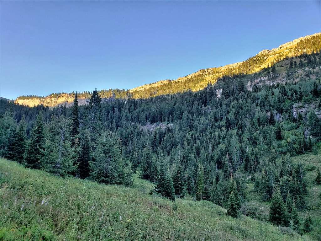
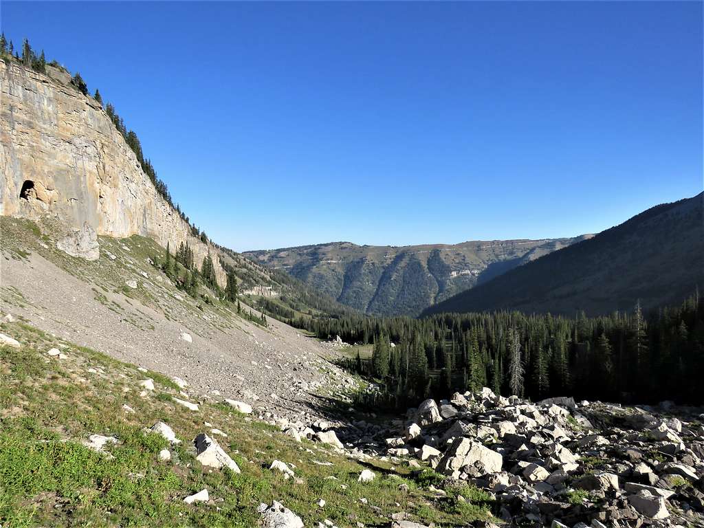
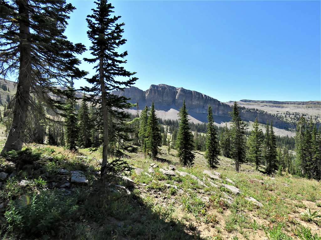
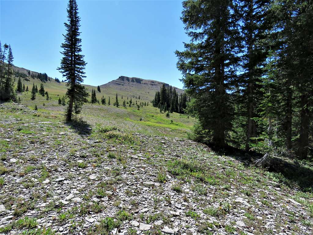
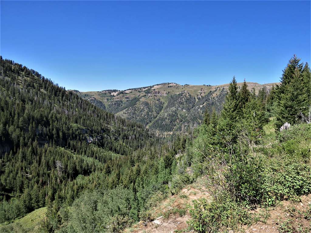
After 2.25 miles, at an elevation of 8225 ft, we reached a place where Wind Cave came to view as a big opening in the long line of cliffs to the southwest of Darby Canyon.
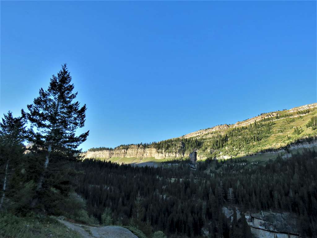
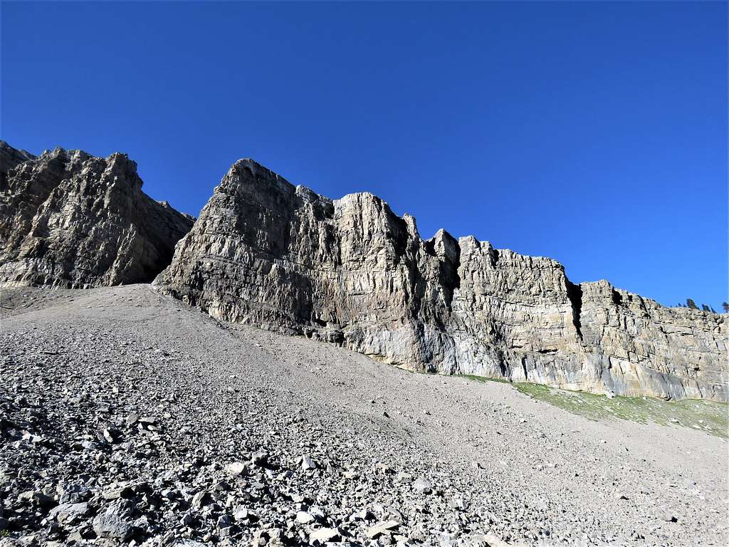
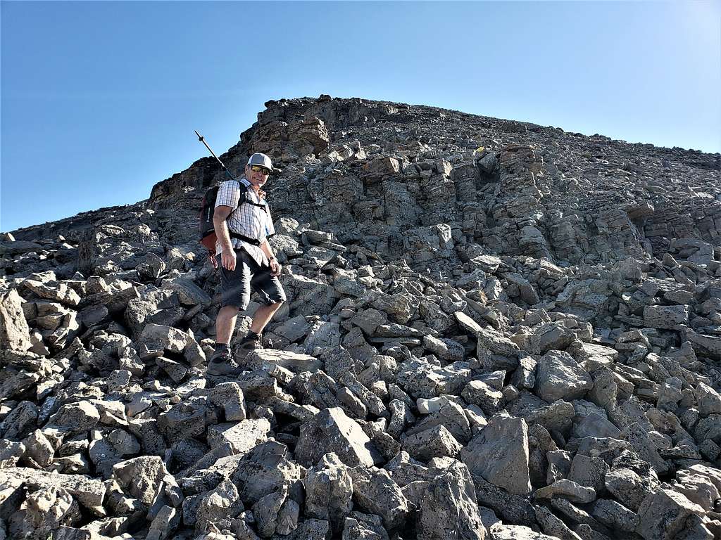
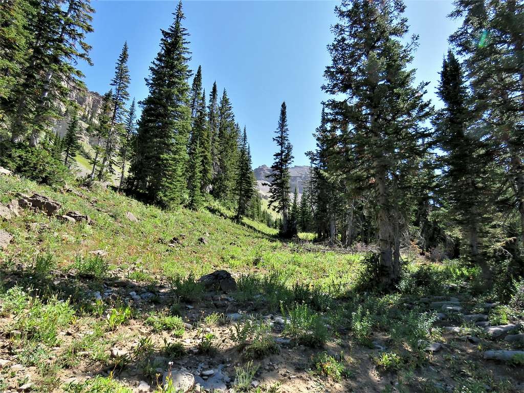
My plan was to leave trail at that point and follow the grassy slopes up the northeast side of Darby Canyon to reach the 9980 ft saddle, but Jeff had us continue the trail until we left the trail just before Wind Cave and then went up the slopes at the base of the cliffs on the southwest side of the canyon. Jeff’s path turned out to be okay except that in some places we had to traverse (not difficult) scree slopes.
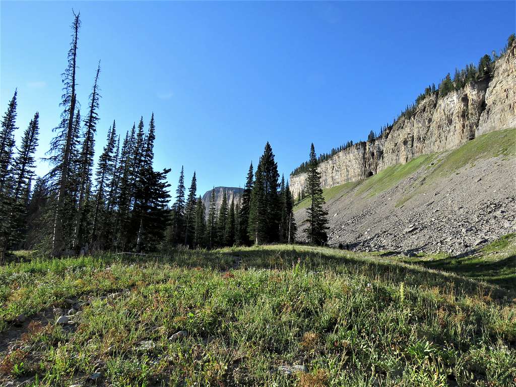
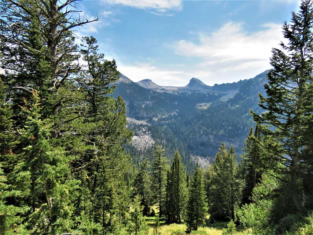
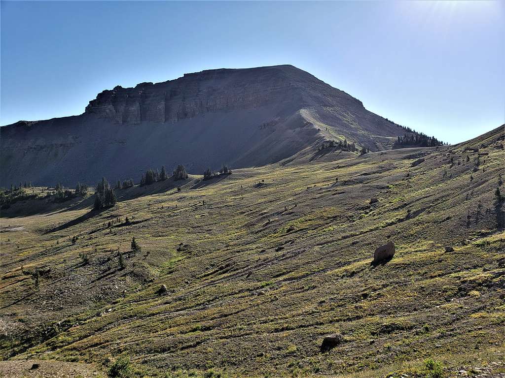
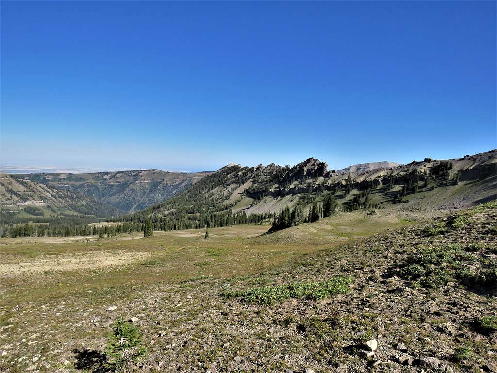
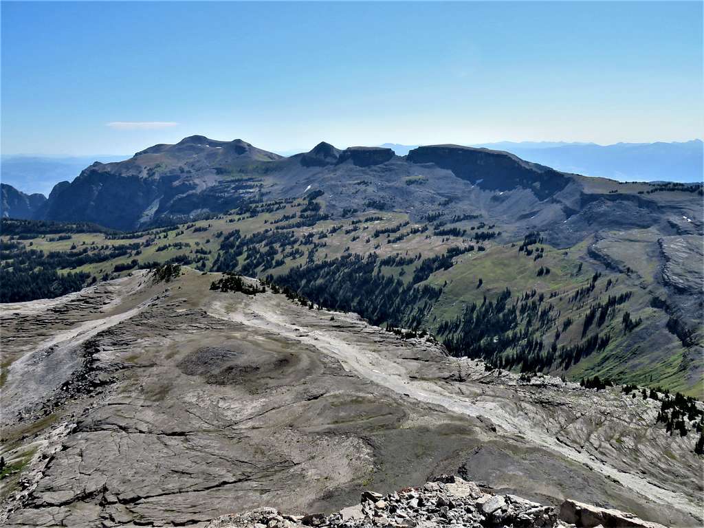
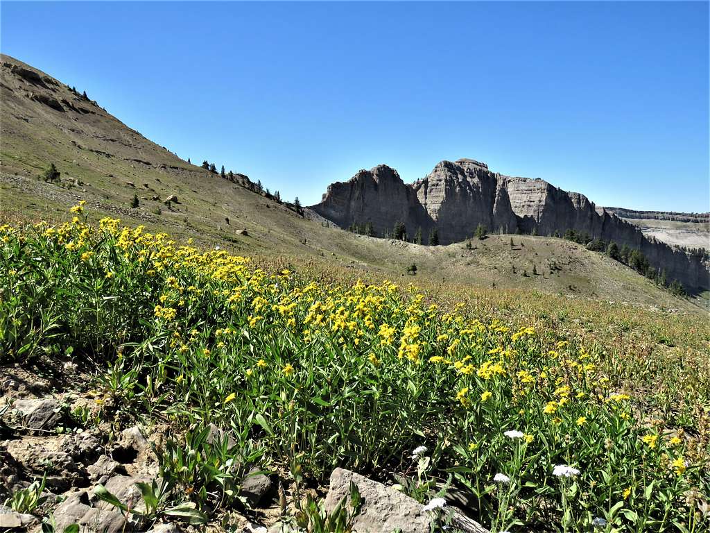
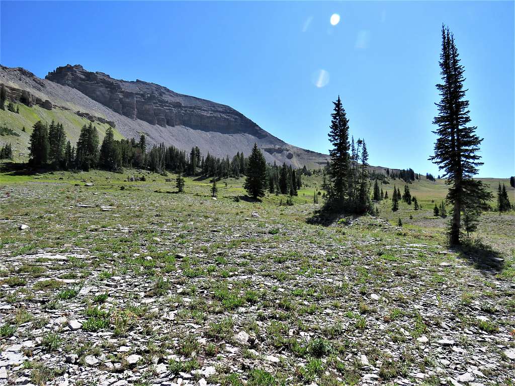
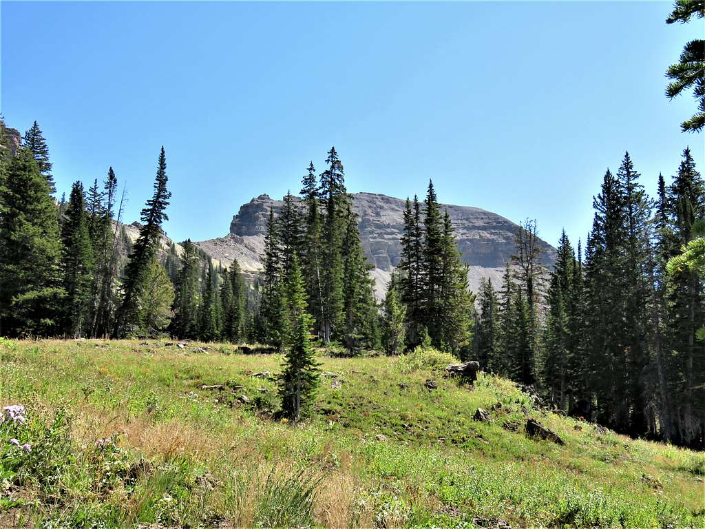
Summit of Fossil Mountains came to view.
Summit and the 9980 ft saddle.
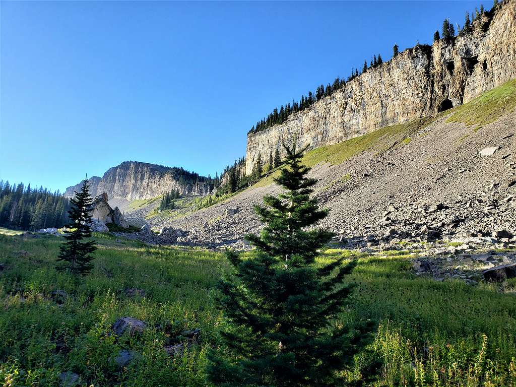
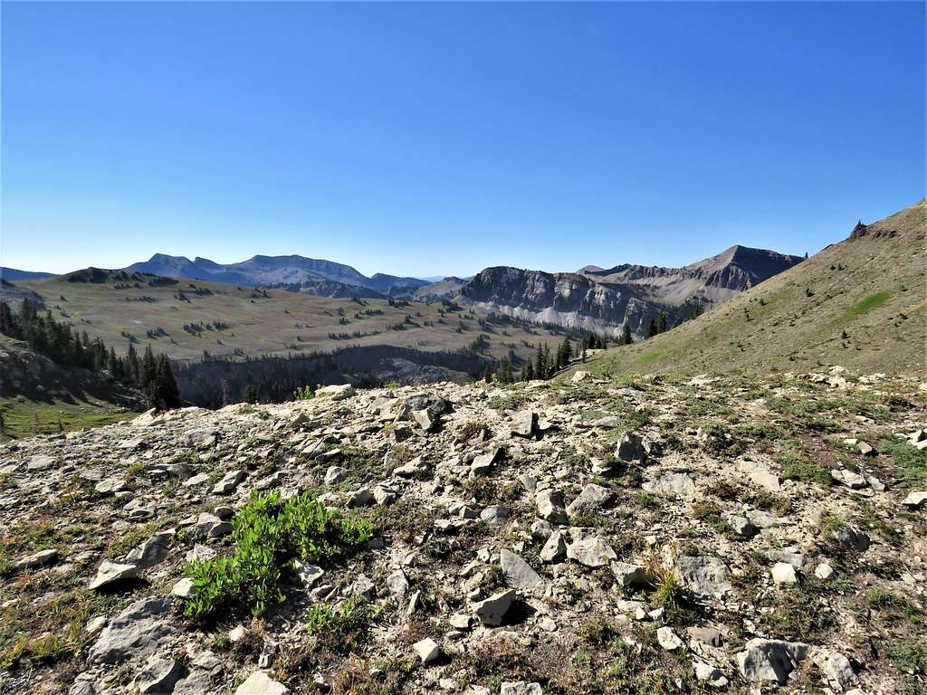
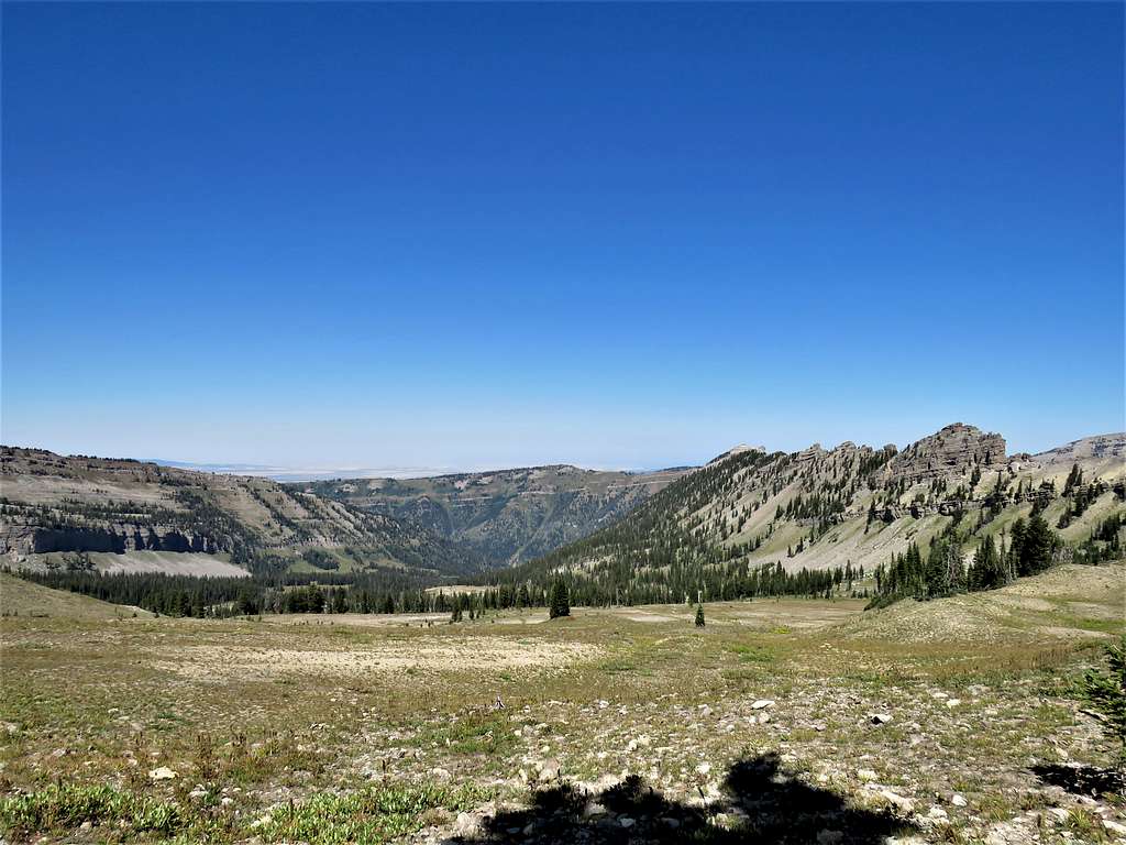
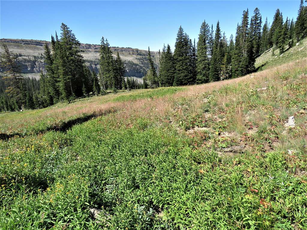
At 10:05 AM and 4.90 miles of hiking, we reached the 9980 ft saddle. Looking down the gentle upper slopes of the South Fork of Darby Canyon.
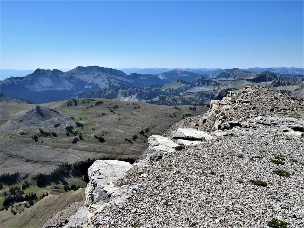
Housetop and Rendezvous Mountains from the saddle.
Had a short rest and then began to go up toward the summit of Fossil Mountain.
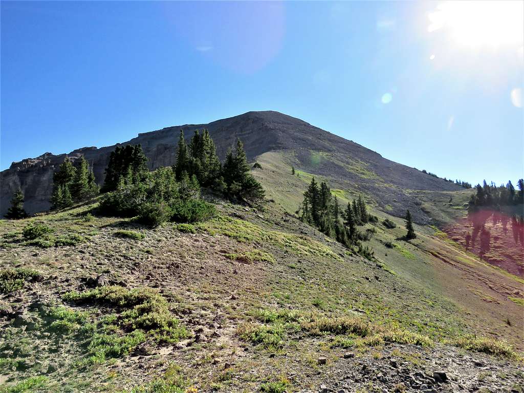
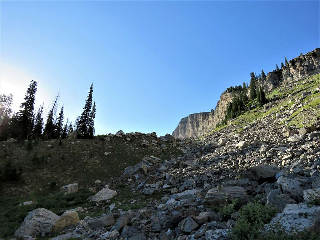
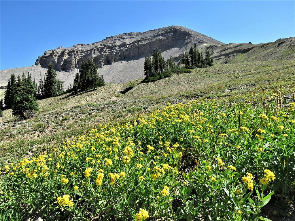
Another view of the saddle and Housetop Mountain.
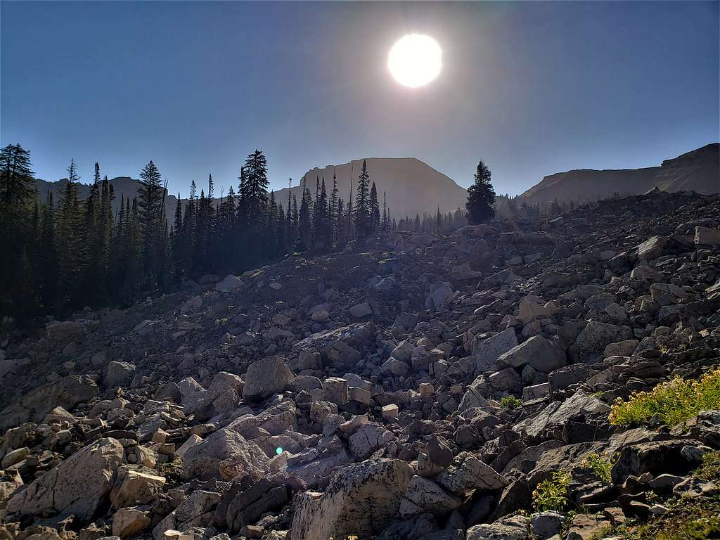
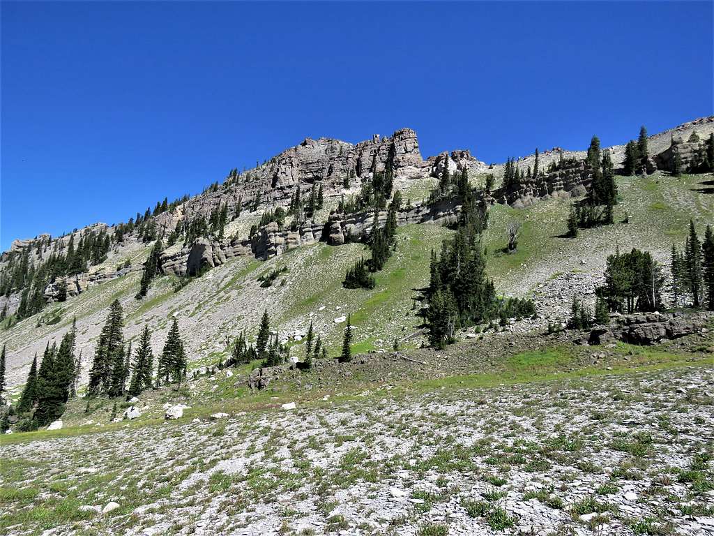
The last 500 vertical feet were steep scree slopes.
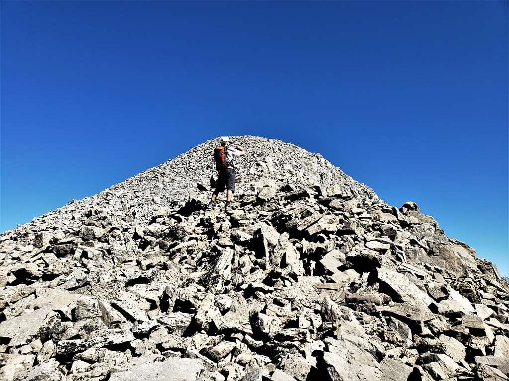
Reached the summit at 11:08 AM and 5.52 miles of hiking. The weather was perfect.
Spectacular view of Grand Teton, Mt. Moran and Buck Mountain with the closer Mt. Bannon with so many more.
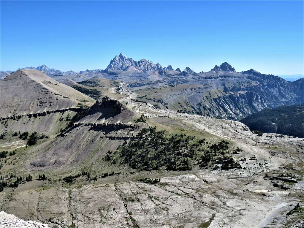
The distant Mt. Moran and the closer Mt. Bannon. The Wedge also seen.
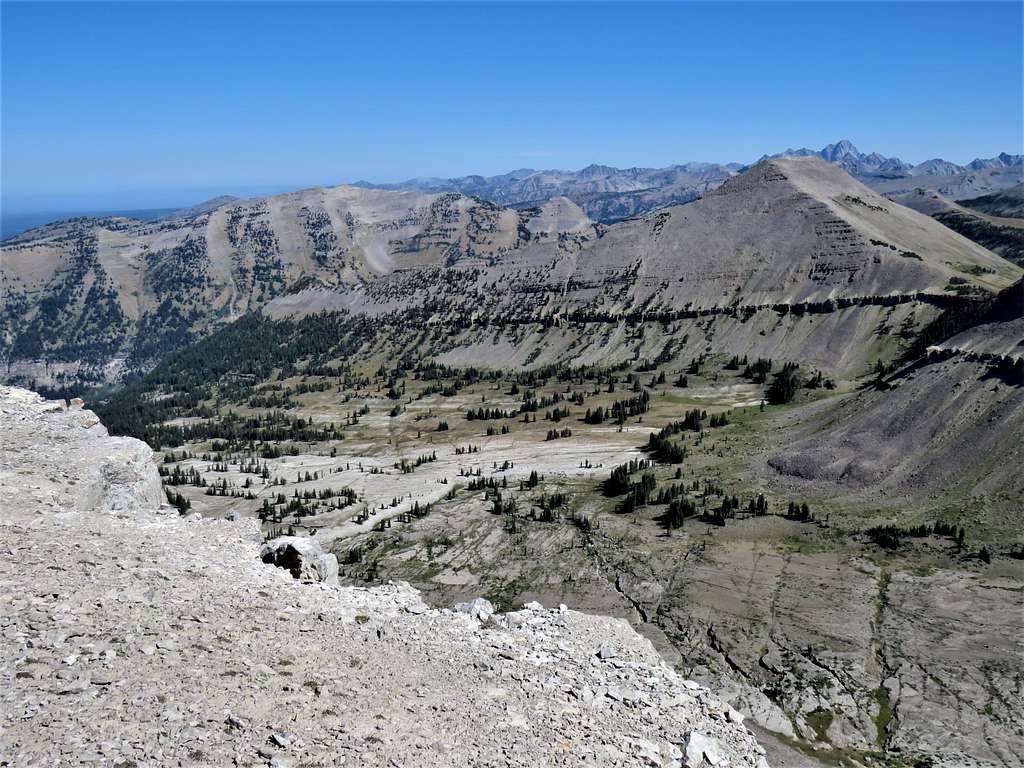
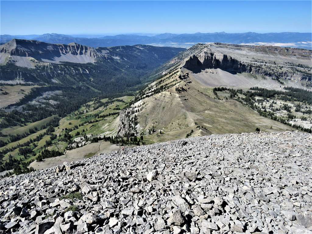
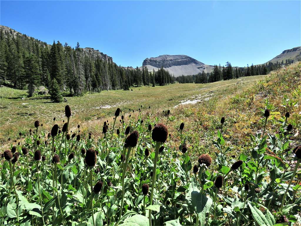
Prospectors Mountain.
Rendezvous Mountain. The horn of Spearhead Peak on the left middle of the picture.
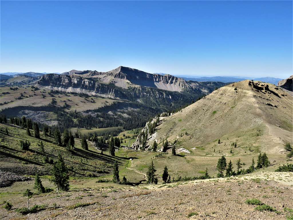
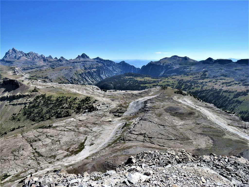
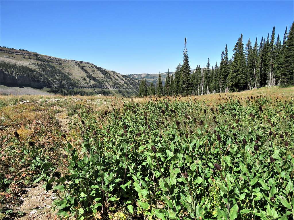
Looking toward Driggs, Idaho. The broad gently sloped upper parts of the South Fork of Darby Canyon also see.
Another view of Grand Teton and Death Canyon.
Rest, enjoy views, sandwich and start descent at 11:35 AM. View of Housetop Mountain and Peak 10336 ft.
Reached the 9980 ft saddle at 12:21 PM and 6.06 PM. Instead of going back down the route we had come up from, we decided to follow the path that I had chosen down the beautiful grassy slopes on the northeast side of the South Fork of Darby Canyon.
Peak 10336 ft.
Looking back at the summit of Fossil Mountain.
We saw no trail but the hike down the gentle grassy slopes was beautiful.
Last look back at the summit of Fossil Mountain.
At 8225 ft and 8.15 miles, we reached the trail. Started running into people. Had not seen anyone all day. Hiking down Wind Cave trail back to trailhead.
Reached trailhead at 2:41 PM and 10.71 miles of hiking.
Red Tape
Day hikes do not require permits or fees.
When to Climb
Summer