-
 17297 Hits
-
 90.36% Score
-
 32 Votes
|
|
Mountain/Rock |
|---|---|
|
|
46.07728°N / 114.36579°W |
|
|
Download GPX » View Route on Map |
|
|
Ravalli |
|
|
Mountaineering, Scrambling |
|
|
Spring, Summer, Fall |
|
|
9072 ft / 2765 m |
|
|
Overview

|
|---|
|
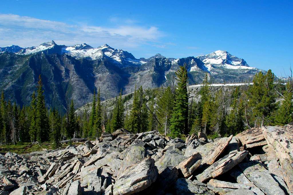
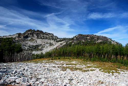
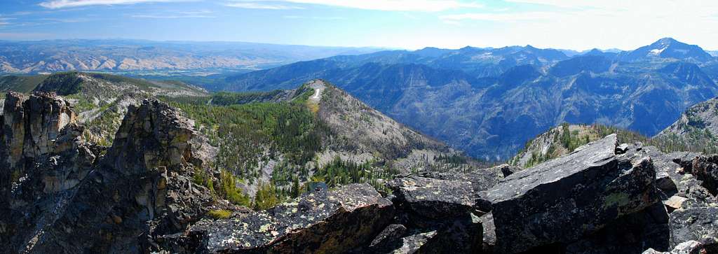
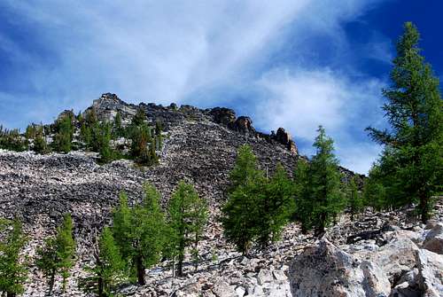
Koch Mountain is located west-northwest of Lake Como and a good distance from any trailhead. Although it can be ascended directly from the south and the Rock Creek Trail, the best routes approach from the east using the much gentler slopes of the east ridge.
It's amazing how many of those who have lived in the Bitterroot Valley all their lives have never heard of Koch Mountain, much less recognize its prominence from the valley floor. Most climbers from this area in western Montana - a group which we like to think is more aware of the surroundings - are not aware of this peak and its wonderful climbing opportunities. |
|
|---|
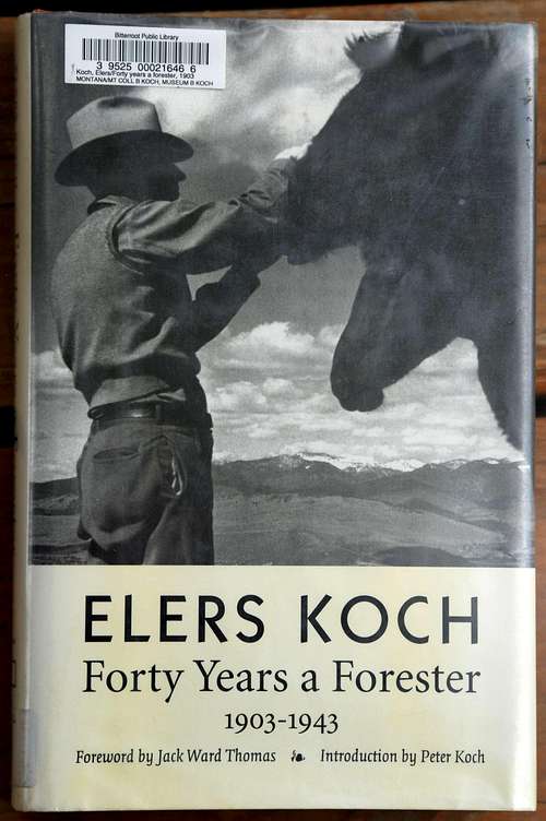
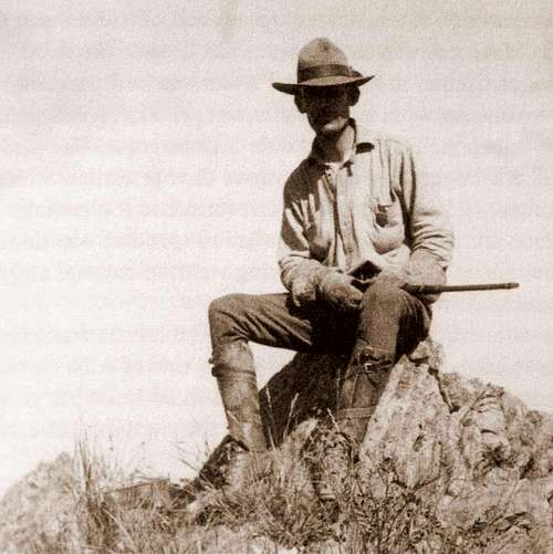
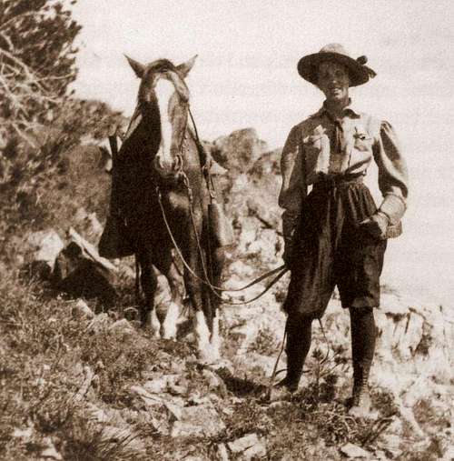
| It should be noted that Elers had a father, Peter, who was important (or at least famous) enough to have a peak named after him, Koch Peak in the Madison Range, Montana. |
Getting There
|
|---|
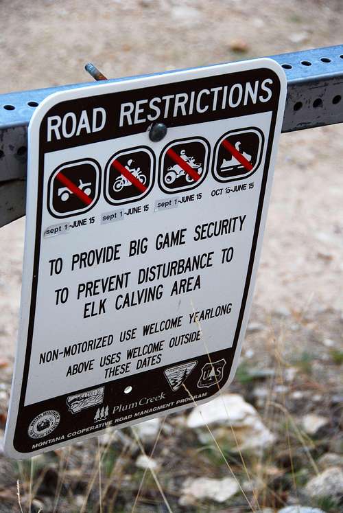
Area Restrictions (Red tape)
|
|---|
Camping
|
There are a couple of campgrounds near Lake Como. They’re probably the best places to camp.
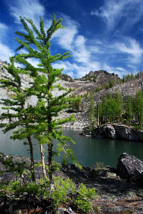
Although I don’t advise it, you could set up a camp on high ground near the streams that drain the hanging valley you pass through about 3.5 miles in - South Ridge Route and the East Ridge Routes. Another place to camp would be at the unnamed lake in the cirque southwest and below Koch’s summit. It would take a supreme effort to carry camping gear to that cirque, but if you can do it, go for it. |
The Routes
| The following routes share an approach on the mountain’s east ridge. The shared portion of the routes is described first. |
|
Approach – Trailhead to Diversion of Routes at 7,750’
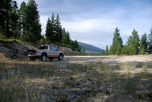
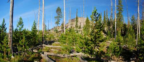
This is an off-trail approach. There is no official trail even partway to the summit of Koch Mountain. From the large parking area at the end of the road, follow the obvious but abandoned roadbed as it heads first northwest then begins a slow curve to the southwest. At approximately .3 miles from the trailhead, head uphill to the east on the trail which follows an old firebreak. Still obvious, this firebreak has a very obvious trail following it through what would otherwise be dense brush and forest re-growth. This trail is being kept open by wild animals, mostly ungulates. |
|
|---|
|
|---|
|
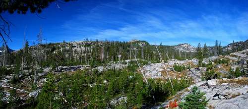
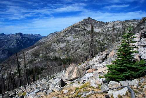
The western edge of the valley is quite steep. Traverse up the slope and out of the hanging valley. Once on the ridge, follow the crest west-northwest.
This approach ends when you reach an elevation of 7,750’ on the ridge-crest.
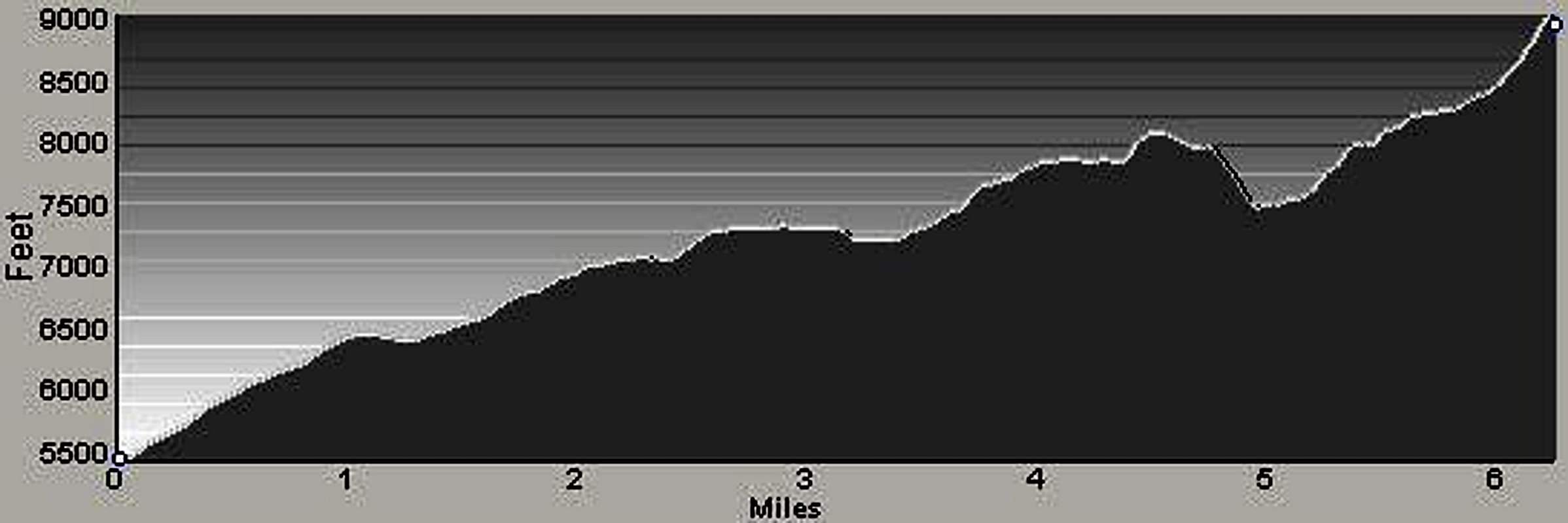
South Ridge Route |
| Of these three routes, this is the more strenuous and lengthy. One thing this track has to offer the others do not, is a visit to the unnamed and beautiful tarn located in the upper portion of a cirque southwest of the summit. If you plan to ascend using one route and descend by another, use this route for your ascent. |
|
|
|---|
|
|---|
|
|---|
|
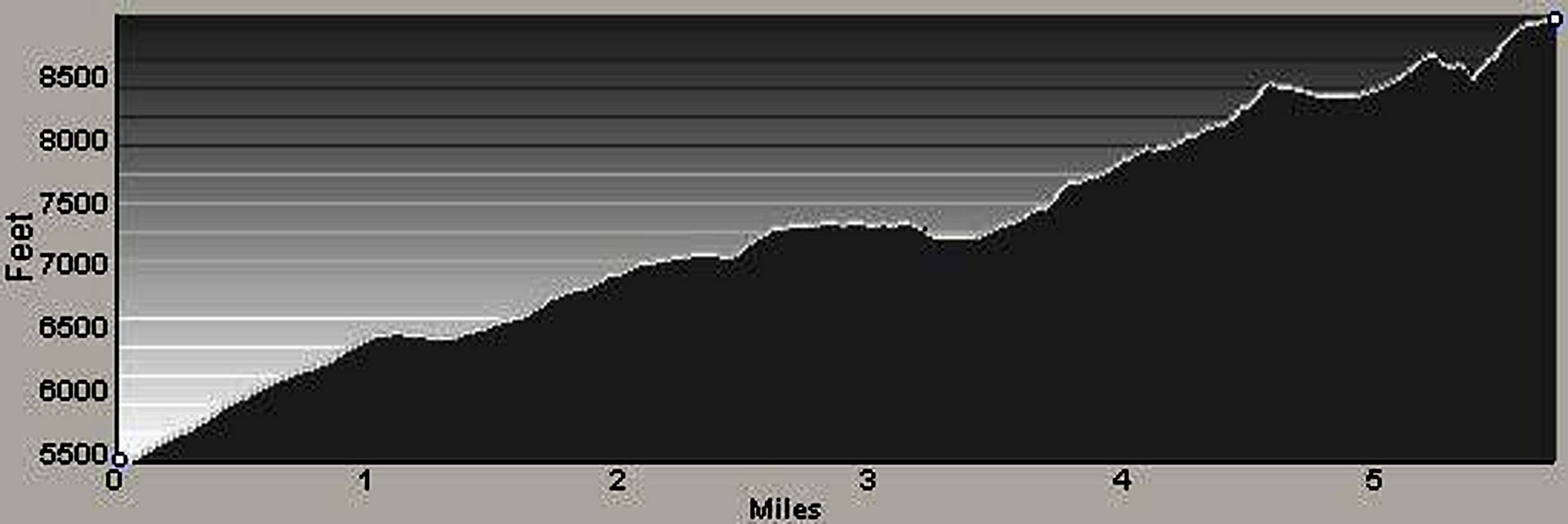
East Ridge Route |
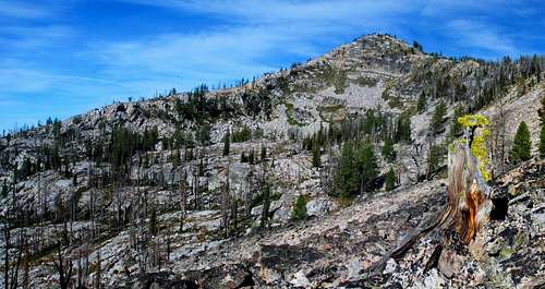
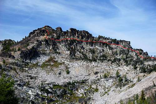
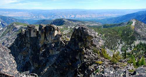
| A shorter route to the summit, this one offers some of the best views of the summit during the approach. Route-finding is a little more difficult on this route than that required during the South Ridge Route, but not by much. This route includes an especially fun traverse on cliff ledges across the upper portion of the east ridge. |
|
|
|---|
|
|---|
|
|---|
|
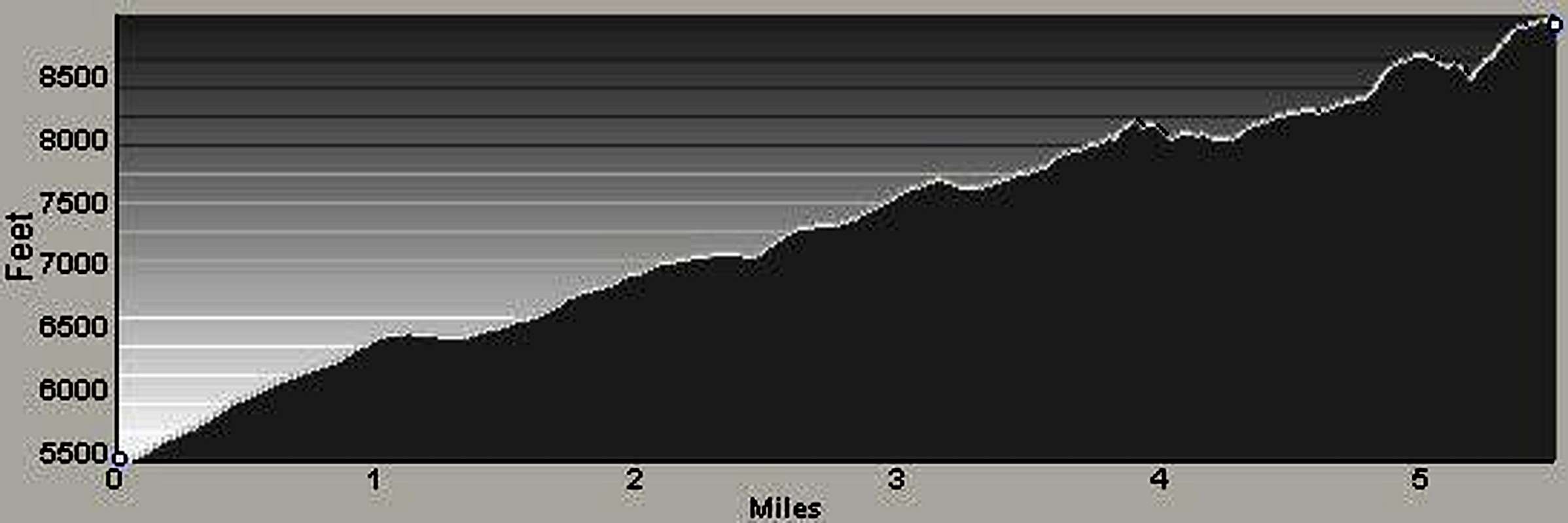
East Ridge Alternate Route |
| The shortest of the routes to the summit, this route offers some of the best views of the summit during the approach. Route-finding on this path is the most difficult of the three routes, but only by a little. This route includes the fun traverse on cliff ledges across the upper portion of the east ridge – great fun! |
|
|
|---|
|
|---|
|
|---|
When To Go
| I’d advise against climbing this summit anytime the gate on the access road is locked. Traveling to and from the gate adds an additional 7.4 miles to an already long round trip. Of course, when there is snow on the route, a person could always use skis and set up a camp on the snow somewhere along the route. But, there are several places along these routes which are prone to avalanche. I suggest forgetting about attempting this summit on snow unless you like to live dangerously or maybe have a death wish! |
Essential Gear
|
Most of the time only standard hiking gear along with plenty of water and food is required to complete a trip to this summit. However, if there is well-consolidated snow on the routes, you’re likely to need an ice axe and crampons.
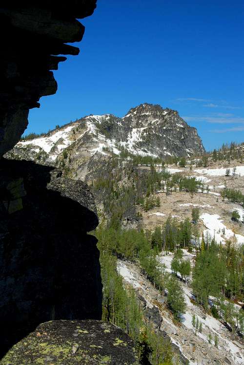
The South Ridge Route is especially problematic on snow, even if well consolidated. There are many places on this route where the climbing is quite steep and even with the proper equipment, may be dangerous. I do not recommend that route on snow. The ledges along and below the upper portion of the ridge-crest for both East Ridge Routes must be mostly free of snow to make them passable. Since those ledges are south facing, that usually occurs by late spring, but certainly not always. Your best bet is to view Koch Mountain’s south side from another highpoint south of this summit to make absolutely sure of the snow conditions before attempting any climbing over snow. The ridge to Como Point is a good place to get such a view. |


