-
 22594 Hits
-
 93.81% Score
-
 44 Votes
|
|
Mountain/Rock |
|---|---|
|
|
45.95842°N / 114.33598°W |
|
|
Ravalli |
|
|
Mountaineering, Scrambling, Skiing |
|
|
Spring, Summer, Fall, Winter |
|
|
9883 ft / 3012 m |
|
|
Overview
Latitude & Longitude – 45.95842 N / 114.33598 W
Elevation – 9,883'
Route Types – Scramble
Class Level – Class 3
Length of Time Required to Complete the Routes – One or More Days

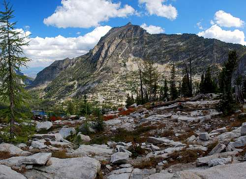
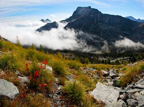
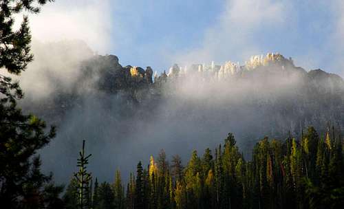
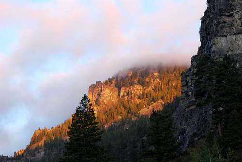
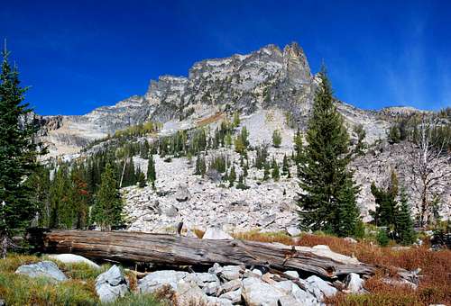
"Point 9883" or "The Shard", which is it? Officially Point 9883, and that's how it's shown on most maps. But to local climbers it is The Shard. And with good reason. Just looking at the jagged ridge crest from a distance gives one the sense it may be unclimbable, at least without plenty gear and experience. I have no idea who first called Point 9883 The Shard, but for those in the climbing community, the name stuck.
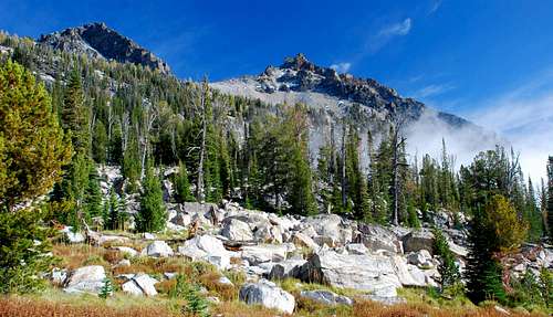
Almost directly north of Chaffin Lake, The Shard is the highpoint of the ridgeline separating the Chaffin Creek and Tin Cup Drainages. As the ridgeline swings south then east from The Shard, it forms the cirque from which the Chaffin Creek headwaters flow.
Chaffin Creek is named for Alex of John S. Chaffin who homesteaded on the creek in 1880.
My History with This Mountain
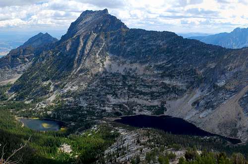
The first time I spied "The Shard" from the floor of the Bitterroot Valley, I wanted to know its name and information about climbing to its summit. I did a bit of research, trying to find someone, anyone, who had either climbed The Shard, or at least made an attempt. I was unable to find a single person who had even heard of anyone making an attempt, that is, until this year, 2007. It turns out a local SPer has been on its summit. He recalled it wasn't too difficult a climb, but that it had been a number of years since his attempt, and he couldn't accurately remember the details. So, I knew it was climbable, I just didn't know (for sure) how difficult it would be.
I had made an attempt during 2006 (before I'd met anyone who had climbed this mountain), using (which at the time was "proposed") the Little Tincup route, but was turned back by bad weather. Last month, September 2007, I climbed it twice, the first time using a variation of the Chaffin High-Lakes Route to reach the west summit, and the second time, the South Slopes Route to reach the true highpoint just east of the "Great Notch".
During my second climb, I did enough off-route exploring to verify that the Little Tincup Route is viable. Viable yes, but only recommended for someone who loves traveling ridge-crests and is willing to expend the extra time and effort required to route-find along The Shard's rocky ridge.
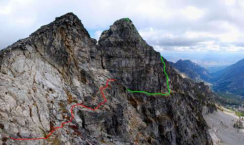
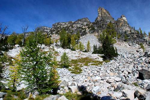
Note: During my climb to the west summit, I did a little reconnaissance to see if there is a non-technical way to reach the true highpoint of The Shard using the west approach. As you can see from the pictures there is a deep notch in the mountain's ridge, one which appears to preclude any such connecting route. What I found is a series of cliff-bands on both sides of the notch which appear to be no more difficult than Class 4. (I climbed along the cliff bands on the west side of the notch and found them to be Class 3.) However, getting across the bottom of the notch looked like it could be problematic. I decided not to attempt it, as I was climbing alone. I left it for another day, or another climber.
Getting There
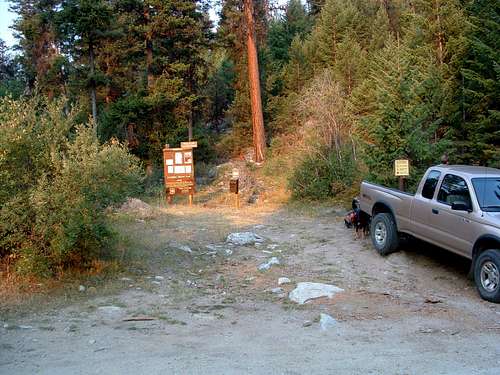
Chaffin Creek Trailhead
Drive south on Hwy 93 from Darby, MT for about 4.5 miles. Turn right (south) onto the West Fork Road (473). Go only about 100 yards, then turn right (southwest) onto Tin Cup-Chaffin Road (not signed – first road to the right).
Continue for about 2.8 miles to an unmarked junction and stay to the right (continuing westward). Drive a little over a mile to the trailhead which is located at a right-turning switchback. The trailhead will be on your left (west).
There is limited parking space, though people sometimes just park along the road. There are no restroom facilities.
Area Restrictions (Red tape)
No permits of any kind are required, but the area surrounding The Shard is official Wilderness. Act accordingly.
Camping
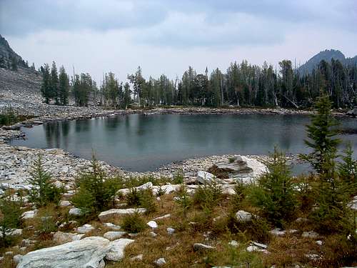
There are good camping sites near Hart, Tamarack, and Chaffin Lakes.
However better camp sites are in the cirque from which the headwaters of the Little Tincup Creek flow. It's a difficult climb to this cirque, gaining 1,900' within a half mile, but the area is well worth the effort and completely unused.
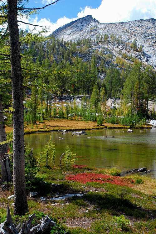
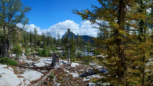
The best camping though, is in the area of the Chaffin High Lakes. In my opinion, this is the absolute best Bitterroot back-country camping area I have ever seen, period!
The Routes
There are three routes which can be used to reach the summits of The Shard.
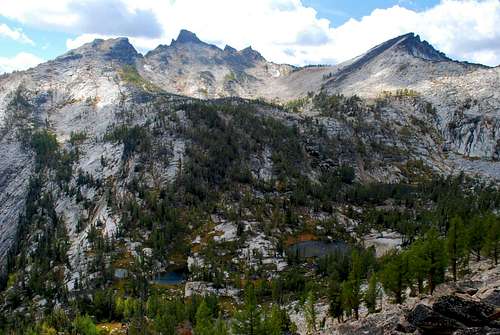
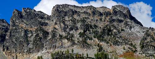
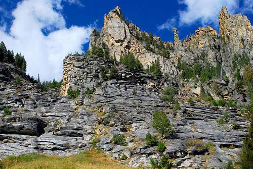
When To Go

It should be possible to reach The Shard using any of the three attached routes any time of the year. My preference for a winter or early spring ascent would be using the Chaffin High Lakes Route as it has the least exposure to avalanche. Though the other two routes do have avalanche exposure, if you know how to judge snow conditions and are experienced, then either looks doable.
Album of Additional Pictures
