-
 15512 Hits
-
 88.6% Score
-
 27 Votes
|
|
Mountain/Rock |
|---|---|
|
|
45.82466°N / 114.46007°W |
|
|
Ravalli |
|
|
Hiking, Scrambling |
|
|
Spring, Summer, Fall |
|
|
9355 ft / 2851 m |
|
|
Overview
Latitude & Longitude – 45.82466 N / 114.46007 W
Elevation – 9,355’
Route Types – Scramble
Class Level – Class 3
Length of Time Required to Complete the Routes – One Long Day
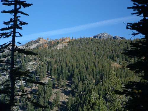
Mount Jerusalem is way "up the West Fork", as we in the Bitterroot Valley say. It lies toward the north end of a long north-south ridge between the Little West Fork Drainage to the east and the Watchtower Creek Drainage to the west.
This summit is quite remote and reaching it requires an amount of effort sufficient to ensure that it is seldom visited. During my visit, I found no signs of human visitation (no cairns, no survey marks, no summit register, no footprints, not even litter), though I suspect someone must have been there before.
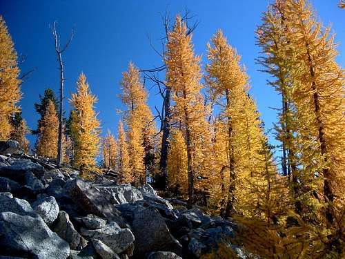
During my trip to the summit, I did find signs (trail segments) that a few humans have been part way along the route I chose, though these signs disappeared more than 2 miles before the summit.
The same ridge has another highpoint 1.2 miles to the north of Mount Jerusalem. This summit, Point 9169, is sometimes referred to as Mount Jerusalem North. Between them is a saddle with an elevation more than 300’ below the lower of the two highpoints. Though some may disagree, I think that and the craggy connecting ridgeline qualify Point 9169 as a separate summit.
Getting There
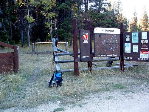
From Hwy 93 take Montana Hwy 473 (West Fork Road) west for 14.3 miles to the junction with Nez Perce Road (468).
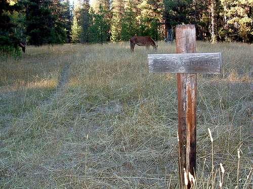
Follow the Nez Perce Road for 9.2 miles to the signed turnoff for Watchtower Creek Trail (142).
Turn right (northwest) onto FR road 5638 and follow it .4 mile to the trailhead loop.
There is a spacious clearing with plentiful parking.
There is an outhouse plus stock facilities at the trailhead.
Area Restrictions (Red tape)
The first 3.5 miles of this route are through National Forest before it enters the official Wilderness Area. Rules appropriate to both areas apply respectively.
Camping
There is plenty of space at the trailhead for camping. The Watchtower Creek Trail is a stock-accessible trail, so the trailhead has a good sized area dedicated to stock (unloading, grazing,…). There is also an outhouse. The creek is close so water is available.
Routes
South Ridge Route
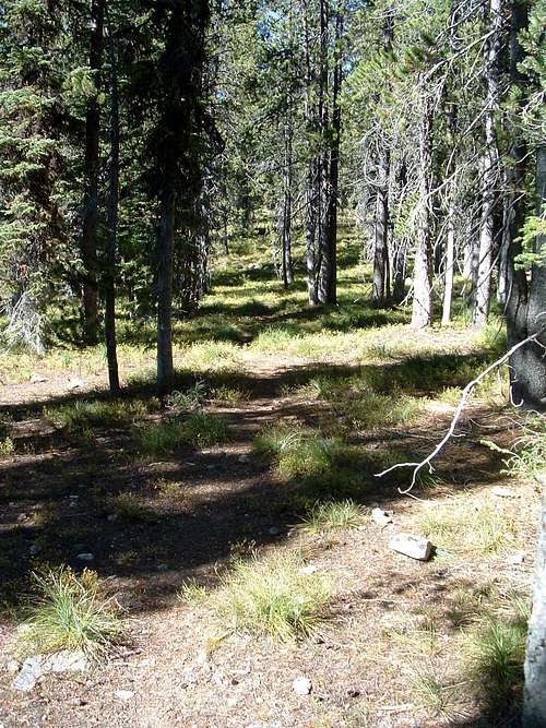
This route to the summit is long and strenuous. It climbs steadily (and sometimes steeply) through some very dense woods. Portions of the woods are filled with deadfall, fortunately, most of it in places where the going is over mostly level ground.
Once above treeline, the route passes over talus boulders and a few gendarmes. With good route finding, it's possible to stay at or below Clas 3 climbing. But, Class 4 climbing is there if you want it.
Cliff Bands Traverse
Still long and strenuous, this route bypasses most of the very dense woods and all of the deadfall. It adds a great Class 3 traverse up a series of cliffs and some great views of the Watchtower Drainage you can't get anywhere else.

