
|
|
Mountain/Rock |
|---|---|
|
|
46.46736°N / 12.05700°E |
|
|
Hiking, Mountaineering, Scrambling, Via Ferrata |
|
|
Summer |
|
|
8740 ft / 2664 m |
|
|
Overview
Monte Cernera 2664 m
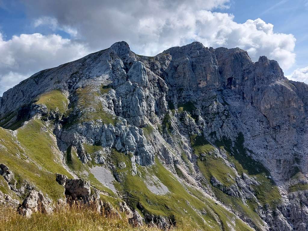
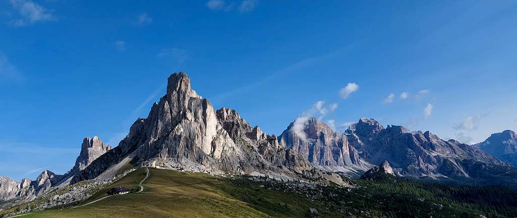
Monte Cernera 2664 m is situated in the neighbourhood of Passo Giau 2236 m, a fine and panoramic road pass amongst the meadows which connects the municipalities of Colle Santa Lucia and Selva di Cadore with Cortina d'Ampezzo. Monte Cernera is considered a "minor" mountain in the Dolomites and does not deserve it. The panorama from its summit is grandiose, the South wall is of considerable mountaineering importance. Its ascent by the normal route is short but interesting.
Getting There
The starting point to climb is Passo Giau 2236 m.
- From Cortina take the state road in the direction of the Falzarego pass. At the crossroads in Pocol, leave the main road and turn left following the signposts to Passo Giau.
- From Selva di Cadore drive along the whole Val Codalonga road with several hairpins up to the pass. Val Codalunga is important because it connects the Agordino to the Ampezzano through the Passo Giau, with which it culminates. The main waterway is the Rio Codalunga, which originates just at the foot of Monte Cernera. The entrance opens at the beginning of Val Fiorentina, between the villages of Colle Santa Lucia and Selva di Cadore. It is a narrow valley with steep sides and for this reason, apart from a few villages perched at the beginning of the left side, the human settlement is practically absent.
Normal Route from Passo Giau
Monte Cernera Normal route report
Summit altitude: 2664 m
Difficulty: hiking and easy via ferrata
Vertical gain: 450 m from the parking lot at Passo Giau 2236 m
Starting point: Passo Giau
From the Passo Giau take the marked path n. 436 which branches off to the South next to a chapel (signpost to Forcella Giau and Rifugio Palmieri), continue for a good stretch on a slight slope crossing Forcella Zonia and then reach Forcella Col Piombìn (15 minutes).
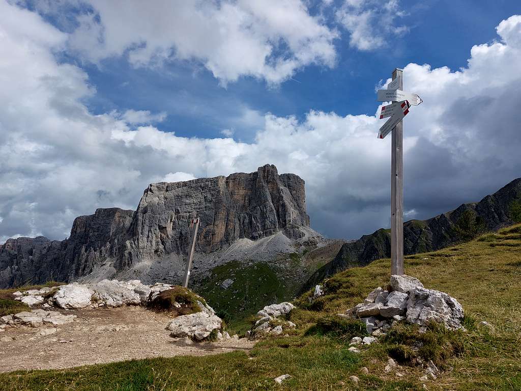
Here is the main crossroads: on the left the continuation of the path 436 towards Forcella Giau and Mondeval and on the right the beginning of the high mountain itinerary of Monte Cernera. Ignore the main path and take the path on the right (signpost to Monte Cernera - mountaineering path). Descend briefly over some rocks and then continue with a long traverse on mixed terrain main at altitude between rocks and grass. Then the slope increases as you approach the ridge characterized by a curious rock formation. To get there we have to overcome a rocky slab equipped with an iron cable (from here the self-insurance kit can be useful). It follows another aided section, simpler, after which you steeply go up the grassy slope above by more uncertain track up to a steep rock wall. Here there is a signposted crossroads: on the right, a track branches off to Forcella Ciazza and Monte Verdàl, a smaller peak from where the view is already very open with the exception in the East direction, closed by Monte Cernera.
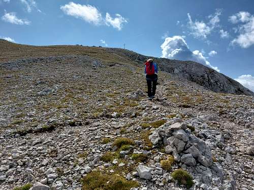
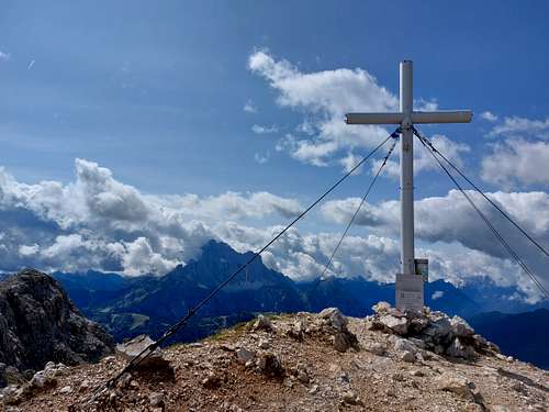
We continue on the left, immediately passing the last and steepest equipped stretch, easy but on often wet rock. Go up the first grassy then debris and rocky slope with hairpin bends, reaching the wide North ridge of the mountain and then in a short time the high summit cross.
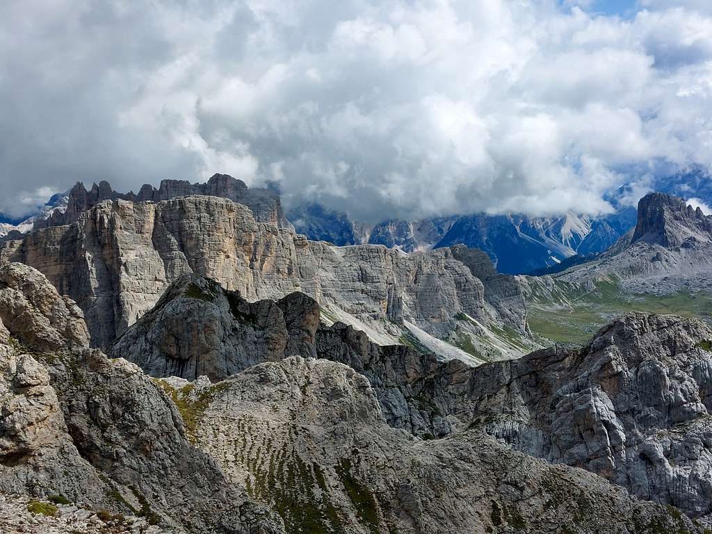
The mountain also has other elevations as the Southern peak, connected to the point where we are by a vertiginous ridge. Thanks to the excellent visibility we can recognize the numerous peaks that surround us, first of all the Lastoi de Formin and the Mondeval, just in fronte in the East direction.
Descent: reversing the same itinerary
Red Tape
No permits no fees for climbing are required.
When to Climb
From middle June to the end of September
Accomodation
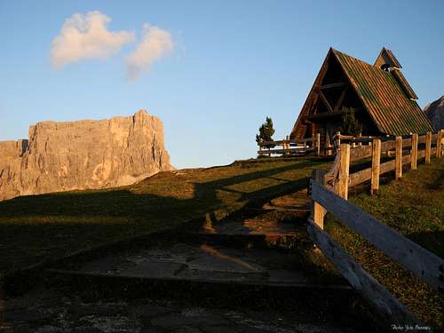
Different opportunity of accomodation at Passo Giau and surroundings:
- Rif. Passo Giau 2236 m.on the pass
- Rif. Fedare on the road to Passo Giau (Southern side)
- Rif. Col Gallina 2054 m. on Passo Falzarego road.
Meteo forecast
ARPAV Dolomiti Meteo
Dolomiti Meteo Veneto
ARPAV DOLOMITI METEO Phone +390436780007 fax +390436780008
CENTRO VALANGHE DI ARABBA Phone +390436755711 fax 043679319 e-mail cva@arpa.veneto.it