-
 7610 Hits
-
 89.77% Score
-
 30 Votes
|
|
Mountain/Rock |
|---|---|
|
|
46.52663°N / 12.02282°E |
|
|
Veneto |
|
|
Trad Climbing |
|
|
Summer, Fall |
|
|
9121 ft / 2780 m |
|
|
Overview
Geographical classification: Eastern Alps > Dolomites > Fanis Group > Torre Lagazuoi
Torre Lagazuoi 2789 m
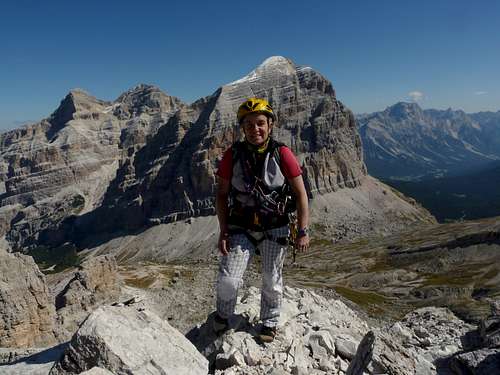
Torre Lagazuoi is a slender rocky tower of "dolomia" located in the Southern sector of the Fanis Group, nearby Lagazuoi Grande. This peak overlooks Col Travenanzes and it’s situated just in front of Tofana di Rozes Western face. Its steep and sunny South edge offers a pleasant classic climbing route on pure and sharp “dolomia” leading to a beautiful and secluded summit.
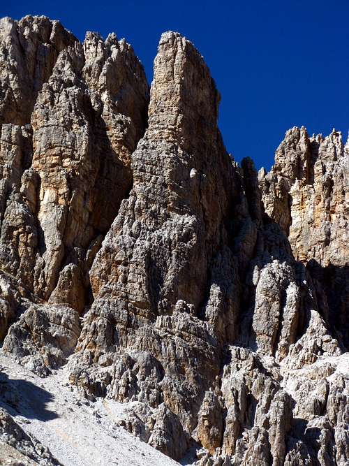
The route was realized in 1944 by E. Costantini, L. Ghedina, M. Astaldi and U. Samaja.
Getting There
ROAD ACCESS
The starting point is Passo Falzarego 2105 m, situated 16 km. West from Cortina d’Ampezzo 1211 m
Northern access - From Bolzano- Bozen follow Brennero Motorway, exit to Bressanone, then follow Pusteria Valley (SS49) towards Brunico. The shortest way to reach Falzarego Pass from Pusteria Valley is rising along Badia Valley straightforward to the pass: once at San Lorenzo di Sebato – 3,8 km. before Brunico - leave SS 49 (Pusteria Valley) and turn to right, following SS 244 ( Badia Valley) as far as La Villa. Here leave SS 49, turning to left to San Cassiano, Valparola Pass and Falzarego Pass.
Southern access - Falzarego Pass can be approached also from Belluno via Longarone, Boite Valley, Cortina d’Ampezzo and SS 48 to Falzarego Pass (16 kms. from Cortina d’Ampezzo).
WALKING ACCESS
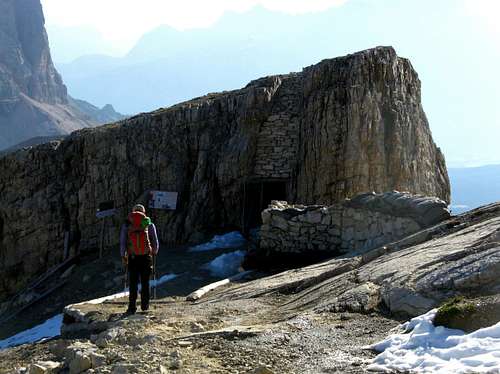
From Passo Falzarego take the air cableway to Piccolo Lagazuoi m. 2752. From the upper station follow a good path going down towards Passo Lagazuoi m 2572. This Eastern Dolomites sector, being situated in the middle of the war operations between Italian alpine troops on the Southern side and the Austrian ones on the Northern side during the First World War, shows several interesting galleries and war buildings, especially in Tofane and Lagazuoi subgroups. Once getting to the saddle (wooden marks), turn to right following the path n. 401 to Col Travenanzes. A bit before reaching the Col, leave the main path rising steeply on your left-hand side along a scree, leading to the starting point of the route (0,50 minutes from Little Lagazuoi).
South Ridge Costantini-Ghedina
Costantini-Ghedina report
Summit Altitude: m 2780
Difficulty: D inf., max UIAA IV+
Climbing length: 160 m
Exposure: S
First ascent: E. Costantini, L. Ghedina, M. Astaldi and U. Samaja 8-9-1944
Starting point: Passo Falzarego m. 2105
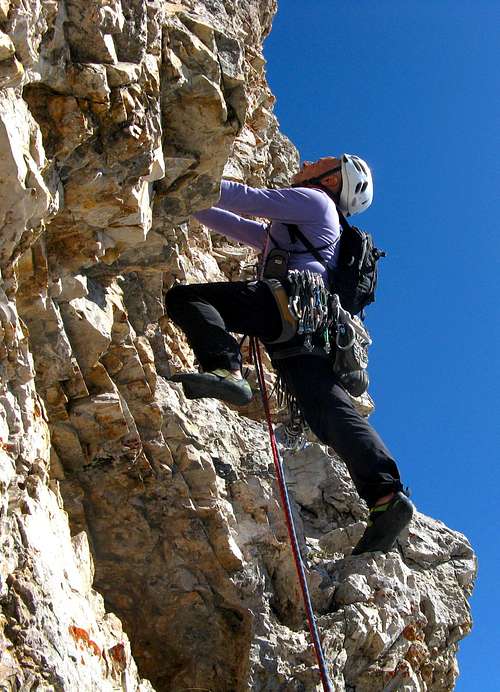
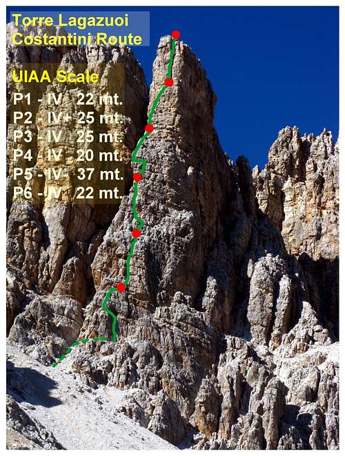
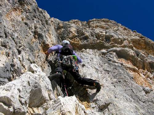
A fine and very satisfactory route offering a steep climb with spectacular views on Tofana di Rozes and Cinque Torri Groups; dolomia is very good and sharp. The pegs in place are enough, anyhow some cams 2,5 – 3 are advisable.
L1 – Climb a steep corner, then traverse left towards the airy edge, climb it (one hole) reaching a stance below a chimney. Friends 2,5-3 useful. IV, IV+, 22 mt. L2 – Up along the chimney – a bad big iron peg - then climb an overhang leading towards left to a little pillar. Climb it, reaching a stance inside a cave. IV, IV+, 25 mt. L3 – Easier rocks lead to a ledge; traverse left towards the edge. Climb the edge, then a slab reaching a stance below a yellow overhanging zone. Hole. III, IV, 25 mt. L4 Slants to right avoiding the yellow overhangs, then traverse left towards the edge and climb straight to another stance. IV, 20 mt. L5 – A long pitch straight along the edge; finally head to right on yellow rock to a good stance below a chimney-crack. IV-, 37 mt. L6 – Climb the chimney-crack, avoiding at least an overhang on the left and reaching the summit. IV, 22 mt.
Descent: attention is required while scramble down from the summit to reach the lower abseils’ ledge. From the summit scramble down 40 mt. towards East (red marks) along detrital ground, then head towards South reaching a huge flake (cairn). Go down along an easy gully towards SW, then head towards right following the cairns and reaching a ledge. On its left end is situated an equipped abseil.
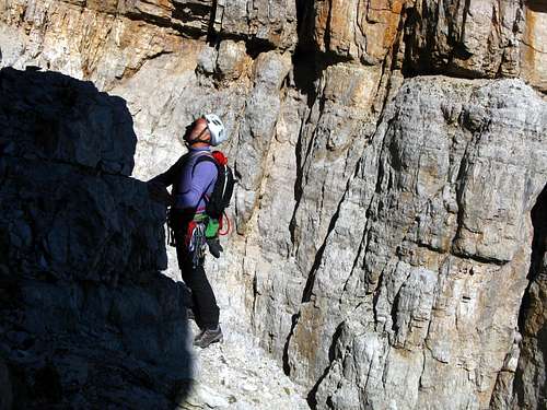
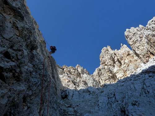
After the first 25 mt. abseil, heads toward West reaching another equipped stance, leading to a gully. Scramble the gully to the starting point (1 hour from the summit)
Essential Gear
Rope 2 x 50 mt., helmet, ribbons, friends 2,5 – 3, ten expresses
Red Tape
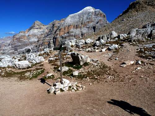
There are not particular restrictions in climbing or hiking; Fanis Group had been acknowledged inside UNESCO WORLD HERITAGE natural sites' list and requires the best care and respect.
My dedicated article on SP: Dolomites living mountains.
More info about Dolomiti Unesco World Heritage: Dolomiti Unesco.
When to climb
Best season goes from middle June to middle October.
Meteo
ARPAV Dolomiti Meteo
Dolomiti Meteo Veneto
ARPAV DOLOMITI METEO Phone +390436780007 fax +390436780008
CENTRO VALANGHE DI ARABBA Phone +390436755711 fax 043679319 e-mail cva@arpa.veneto.it
Guidebooks and maps
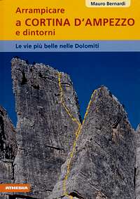

“Arrampicare a Cortina d’Ampezzo e dintorni – Le vie più belle nelle Dolomiti” by Mauro Bernardi Athesia Editore
“Dolomiti Orientali” Vol. I Parte I by Antonio Berti – Guide dei Monti d’Italia CAI-TCI

