
|
|
Mountain/Rock |
|---|---|
|
|
39.83800°N / 105.7133°W |
|
|
13391 ft / 4082 m |
|
|
Overview
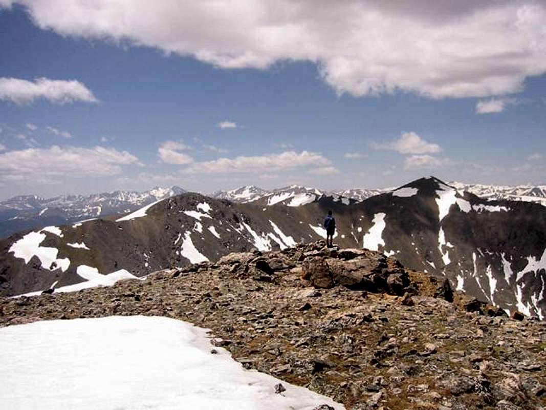
Parry Peak is the highest peak of the James Group of the Front Range of Colorado. The James group is the continental divide section between the Indian Peaks to the north and Berthoud Pass to the southwest. It is the east side of this group of peaks that attracts the eye as one crests the first foothill of I-70 above Denver at Genesee. The west side of Parry is the visage that dominates the backdrop for the Winter Park ski area (from where skiers have long known it as "the baseball mitt" due to the resemblance). The peak is on the ridgeline between Eva and James but due to its position it does not appear as dominant (nor as nearly as popular) as James from most angles. Resultingly, mountaineers traditionally refer to the group as the James Peak group. The peak's south face is the headwall of the Fall River, known for St. Mary's Glacier. The west face drops quickly to the upper Fraser River. A false summit on the eastern shoulder is known as Mt. Bancroft, due to its appearance as a separate mountain to miners from below. The peak is visible from the Denver-metro area. A walk-up from all sides, often climbed in conjunction with James, it is a pleasant if typical Front Range peak that also gives the satisfaction of summiting the highest of a group. The James group remains popular for glisse mountaineering (caution must be used due to wind-loading across the continental divide).
 |
 |
| Eva, Parry (rear) and James (far right) from I-70 (photo: JonBradford) | Mountaineer eyes Parry from James (photo: JonBradford) |
 |
 |
 |
 |
 |
Getting There - Roads
Southeast Approach - Exit #238 from I-70 in Clear Creek canyon and follow signs to up the Fall River canyon 9 miles to the left turn for Alice Road. Stay right at the first fork (old schoolhouse) and turn right at the road to Loch Lomond (Stewart Road). The road becomes gradually rougher and 4WD's can continue to the loch at 10,800'. For the approach via James Peak/Jamaica Plateau (and to avoid the 4wd section), continue past Alice to the parking lot (often at capacity) under St. Mary's Glacier.
Northeast Approach - From Rollinsville take the gravel road towards the East Portal (of the Moffat Amtrak tunnel). After 5 miles turn left onto the Mammoth Gulch Road. This road becomes 4WD eventually topping out onto the Jamaica Plateau, NE of the peak at 12,000 (likely on foot). This puts you in a nice position to add James first (or second by first dropping to the loch).
West Approach - The west side of the peak is directly above Highway 40 between the Mary Jane entrance to Winter Park ski area and the first switchback of Berthoud Pass. A climb from this side starts with a ford of the Fraser River.
Berhoud Pass - The Continental Divide Trail is often followed from Berthoud Pass (US 40) over Mounts Flora and Eva.This is a popular spring-ski traverse.
Winter Glisse/Fall River Direct Approach (East Side) - From I-70, just west of Idaho Springs, exit #238 and head up Fall River Road. At the upper switchback (9600' level, 6.7 milemark) turn left onto Rainbow Road. Drive (or ski, per conditions) on Rainbow Road toward Fall River Reservoir. From the lake, skin up the slope to the NW of the dam to reach the bench above the lake at timberline. Traverse the bench to the drainage below Parry. Climb the large snowfield on the SE slope (when safe). This is the usual ski descent so by climbing here you can evaluate the snow conditions during the ascent. This approach is also used in the summer - particularly if combining the ascent with Mount Eva. (With contribution by WestEndAllStar and dgreaser).
Management
Managed as the recently designated James Peak Wilderness of Arapaho National Forest. Wilderness regulations apply for camp locations, group size, motorized travel and ethics. (With contribution by CharlesD).
Season/Conditions
Parry commonly sees ski ascents in the winter and spring. Summer conditions are found from early July to early October. Peak snow depth on Front Range peaks occurs in late April/early May with the heaviest snow month being March. The driest conditions are normally September - mid October.
Berthoud Pass weather.
<BR=CLEAR ALL>
 |
 |
 |
 |
Etymology and History
Parry Peak was named for eminent botanist Charles Christopher Parry (1823-1890)...by himself. He named neighboring Mount Eva for his wife and in keeping with the theme, he renamed Grays, Torreys, James, and Engelmann for reknowned botanists (and peers) as well as naming nearby Mt. Flora. One could think of this section of the Continental Divide as the 'Botany Peaks'. Parry was born in England and immigrated to America at the age of nine. He received his doctorate at Columbia and studied in the field under Asa Gray and Edwin James. Upon reaching Colorado in 1861 he began studying the alpine environment and made one of the earliest ascents of Pikes Peak, ascended this peak and countless others. He discovered so many plants that the Genus of Neoparrya and Parryella were named for him. His best known discovery was the Torrey Pine of California. In 1863 he climbed Grays with the 62-year old Asa Gray. The Parry Collection of his thousands of discoveries is displayed at the Hayden Herbarium.
James Group : Links and Facts
The James Group of the Front Range contains these independant summits (listed north to south):
Mount Epworth
Heartbeat Peak
James Peak
Parry Peak
Mount Eva
Mount Flora
Colorado Mines Peak
The Saint Marys Glacier is technically an icefield caused by wind deposition.
West of Berthoud Pass, the Continental Divide rises up as the Vasquéz Mountains.
The far north end of the group can be reached via road at Rollins Pass. The pass is no longer drivable from the east due to the collapse of the Needle Eye. Low-clearance vehicles can usually make it (in dry conditions) to Yankee Doodle Lake and medium-clearance vehicles to the switchback at Forest Lakes (at timberline).
The 6.2 mile-long Moffat Tunnel (used by Amtrak and other lines to cross the divide) traverses under the northern end of the group. The western end of the tunnel is just behind the base lodge for the Winter Park ski area.
Flight Patterns -
Hikers and Mounatineers in the James group often notice the abundance of air traffic. Since the early days of Stapleton Airport (Denver), when passenger planes first began serving routes to the west, Rollins Pass was considered the best approach for the gain over the Front Range and the Continental Divide. The pass evolved as a thruway for commercial air travel and though today's airliners are well above the pass by the time they reach the divide, this is still a popular crossing for smaller craft.
Sources/Bibliography
Weber, William (1997). King of Colorado Botany, Charles Christopher Parry; Univ. Press of Colorado. Boulder, CO.