-
 18039 Hits
-
 78.27% Score
-
 9 Votes
|
|
Mountain/Rock |
|---|---|
|
|
45.84721°N / 114.34191°W |
|
|
Ravalli |
|
|
Hiking, Mountaineering, Scrambling, Skiing |
|
|
Spring, Summer, Fall |
|
|
9804 ft / 2988 m |
|
|
Overview


Latitude & Longitude – 45.84721 N / 114.34191 W
Elevation – 9,804’
Route Type – Scramble
Class Level – Class 3
Length of Time Required to Complete Route – Long Day
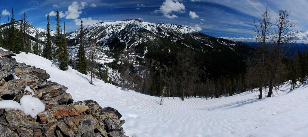
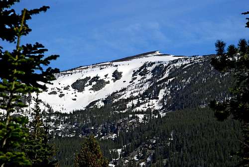
Boulder Peak, at 9,804’, is the fourth highest point in the Bitterroot Mountains to the west of the Bitterroot Valley. It lays along a west-northwest ridge crest just south of Trapper Peak and the Boulder Creek Drainage. It shares the ridge with two other points above 9,000’ – Point 9509 (I call it East Boulder Peak) and Point 9334 (West Boulder Peak). Boulder Peak’s summit can be accessed using several routes, but is most often visited by people using the Boulder Point Route.
Boulder Point is home to a lookout tower which is no longer in use by the Forest Service but is in the process of being brought up to snuff by a ski club whose members use it for winter outings. At this point the lookout is available to anyone, no fees or reservations - first come, first serve. There is a wood stove for heat, pots and pans for cooking, and minimal sleeping gear for a couple of people. One nice feature is the existence of an operational outhouse a few yards away which even includes toilet paper, a real surprise on a any summit!

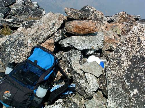
On 24jul05, Montanaboy(a fellow SPer) climbed Boulder Peak by way of Nelson Lake and left a new summit register. When I visited the summit on 24aug06, only three others had signed the new register since its placement; I was the fourth. Obviously, few people make the effort to reach this remote summit. Its distance "up the West Fork" is one of the reasons. Another has to be the lung-busting effort required to reach any point of the ridge-crest on which Boulder Peak lays. Of course the fact that no discernable trail leads to its summit may be a contributing factor to its loneliness.
Getting There

From Darby, MT, go south on Hwy 93 just under 4.5 miles and turn right (southwest) onto Montana Highway 473 (West Fork Road). Drive a short distance past mile marker 13 and turn right (northwest) onto Barn Draw Road (373) - the second road on your right.
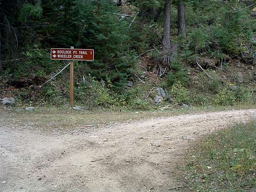
Continue on Barn Draw Road for almost 2 miles to a signed junction and turn right (northeast), following the sign for Boulder Point Trailhead. The road will end at the trailhead in just over a mile.
The trailhead is now marked. There are parking spots for several vehicles, but no restroom facilities.
Red Tape
No permits of any kind are required, but this is an official Wilderness Area.
Camping
If you want access to an outhouse, camp near the Boulder Point Lookout. Otherwise camp anywhere you can find a fairly level spot - there aren't many!
No water is available anywhere along the ridge.
Routes
See the Boulder Point Route for details.

