-
 11702 Hits
-
 78.36% Score
-
 10 Votes
|
|
Area/Range |
|---|---|
|
|
44.01650°N / 91.4502°W |
|
|
Hiking |
|
|
Spring, Summer, Fall, Winter |
|
|
1190 ft / 363 m |
|
|
Overview
In a state which is not noted for an abundance of ranked summits (just 71), only one state park has three ranked summits. Perrot State Park not only has those named and ranked summits, but also has six more named summits on a terrain that is as close to mountain foothills as one can find in the Midwest. Since the park is also situated on the eastern banks of the Mississippi River, the views from the park’s summits are just that much more spectacular.
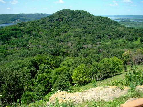 Brady's Bluff View from Perrot Ridge
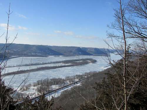 Mississippi River from Bunnels Bluff
Nearly 400,000 people annually come to visit this 1,270-acre state park, located at the junction of the Mississippi and Trempealeau rivers. The park has great camping facilities, picnic areas and over 22 miles of trails in the park that are used not only for hiking, but also for cross-country skiing in the winter. Also, the 24-mile Great River State Trail passes along the edge of the park. Some trails in the park are open to mountain biking as well. Canoe and kayak rentals are available in the park to make use of the Voyageurs Canoe Trail or go over to the Trempealeau Mountain island.![Perrot State Park Wildflowers]() Perrot State Park Wildflowers
Perrot State Park Wildflowers![Trailside Wildflowers at Perrot State PArk]() Trailside Wildflowers at Perrot State PArkThe area around Perrot State Park has been inhabitated by humans for thousands of years. A few effigy mounds still exist in the park and thesurrounding region, attesting to human habitation long ago. Native Americans used Trempealeau Mountain for navigation, a practice adopted by French explorers who came into the region as early as 1685. French explorer Nicolas Perrot led a group there late that year, and the group determined it was a good place to winter, so they built a fort on the island. Remnants of that fort were discovered during railroad construction late in the 1800’s. The land for the state park was donated by an area resident in 1918 and was named for Perrot.
Trailside Wildflowers at Perrot State PArkThe area around Perrot State Park has been inhabitated by humans for thousands of years. A few effigy mounds still exist in the park and thesurrounding region, attesting to human habitation long ago. Native Americans used Trempealeau Mountain for navigation, a practice adopted by French explorers who came into the region as early as 1685. French explorer Nicolas Perrot led a group there late that year, and the group determined it was a good place to winter, so they built a fort on the island. Remnants of that fort were discovered during railroad construction late in the 1800’s. The land for the state park was donated by an area resident in 1918 and was named for Perrot.
Perrot State Park History
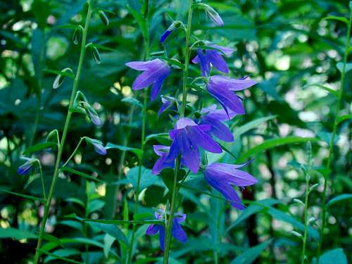 Perrot State Park Wildflowers
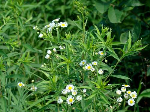 Trailside Wildflowers at Perrot State PArk
Getting There
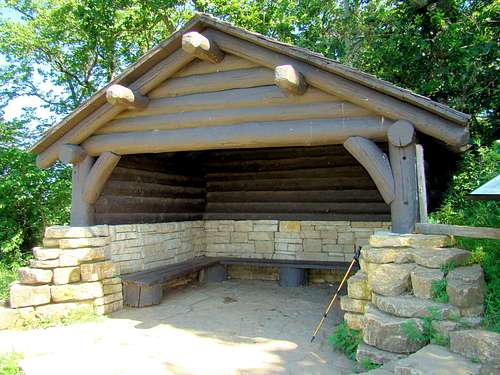 Brady's Bluff Summit Shelter in Summer
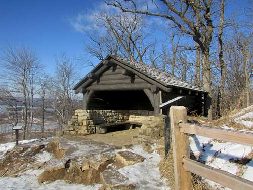 Brady's Bluff Summit
From the east or south (from state park website), take US Highway 53/State Highway 35 north from La Crosse. North of Holmen, turn left on Highway 35 where it splits from Highway 53. Take Highway 35 about eight miles to Trempealeau.
Routes
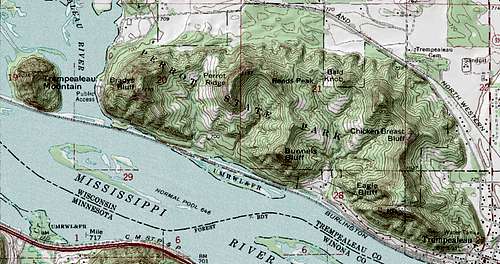 Perrot State Park Topo Map
Twelve trails have been developed in the park, though some are for hiking only, while others are more for skiing. A few are multi-purpose, allowing mountain bikers some routes to enjoy. One trail is for snowmobiles too. For up-to-date official information on all the trails in Perrot State Park, click on this link:
Perrot State Park Trail Descriptions
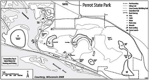 Perrot Trails Map
When to Visit
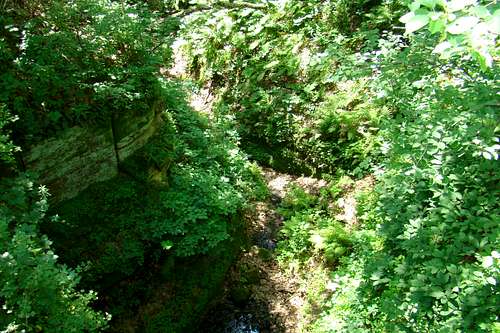 Small Gorge in Perrot State Park
Perrot State Park Information & Park Updates
Perrot State Park Weather Forecast & Conditions
Red Tape
The state park requires either a daily or annual vehicle pass. There are fees for a campsite.
Camping
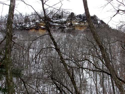 Brady's Bluff