
|
|
Mountain/Rock |
|---|---|
|
|
38.81930°N / 110.9077°W |
|
|
Download GPX » View Route on Map |
|
|
Hiking |
|
|
Spring, Summer, Fall, Winter |
|
|
7460 ft / 2274 m |
|
|
Overview
Rank: Sagebrush Bench is Utah’s 1835th highest ranked peak
Prominence: 320 ft
Sagebrush Bench rises in the western parts of Utah’s San Rafael Swell near San Rafael Knob. The eastern, southern and northern face of Sagebrush Bench create walls that drop 300 vertical feet. To the northwest, elevation goes down over what looks like a juniper covered sloped plateau.
Sagebrush Bench had come to my attention when I was looking at the map searching for a mountain I could explore on my own. I had not found any information on the internet about Sagebrush Bench. Looking at Google Earth and satellite photos, it appeared that reaching the base of the northwestern slopes of Sagebrush Bench involved hiking up canyons where one might come across obstacles (I have no real information about this). In the end, I came up with a convoluted path that involved hiking a four wheel drive road for 4.5 miles and then hiking 2.5 more miles off trail. To my surprise, where I left the road, I came across a trail that followed the exact path that I had chosen myself all the way to the summit.
Getting There
Take Exit 116 on I-70 and go to the south side of the highway. Get on a road that turns east and goes parallel to the highway (there is no other place to go on the side of I-70). I went 1.4 miles to a place called Justensen Flats where I decided to start my hike (in dry conditions, any vehicle should be able to make it to this spot). With 4WD, you can go 4.5 more miles on the road.
Route/Trip Report
Hike Length: 14.05 miles
Maximum Elevation: 7460 ft
Minimum Elevation: 6720 ft
Total Ascent: 1950 ft
Left the motel in Ferron, Utah at 6:30 a.m. Drove to Exit 116 on I-70 and first went to a view point/rest area on the north side of the highway that had a good view of Eagle Canyon.
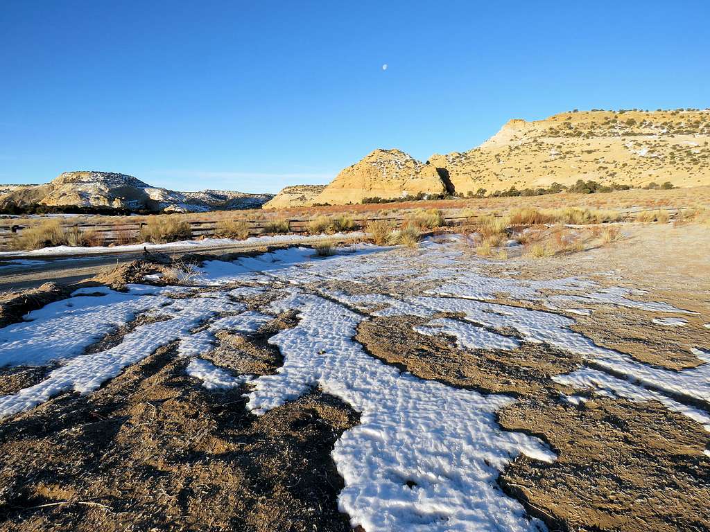
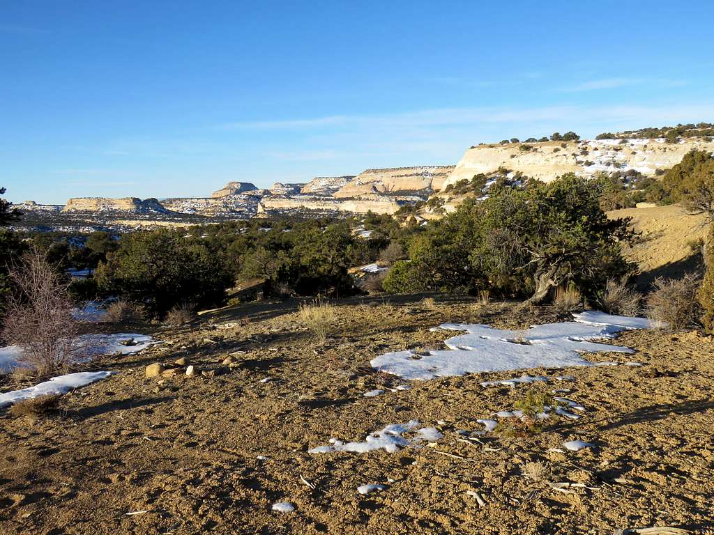
Took a picture and then went to the south side of the highway getting on a dirt road that headed east parallel to the highway. The road turned out to be covered by ice and had some uphill. I had a Jeep Wrangler rental but was still concerned about getting stuck on the ice. After 1.4 miles, I reached a flat dirt area known as Justensen Flats. I could have driven 4.5 more miles on the rough icy road but I wanted to enjoy the beautiful cross country hike, not worry about getting stuck on the road so I decided to park at that area. I was very close to I-70 but did not see any other people during the hike. Started my hike at 7:30 a.m. It was 19 degrees F and elevation was 6950 ft. Headed east on the road that slowly went up in elevation. I saw what looked like wild horses not too far away but they ran away as I approached.
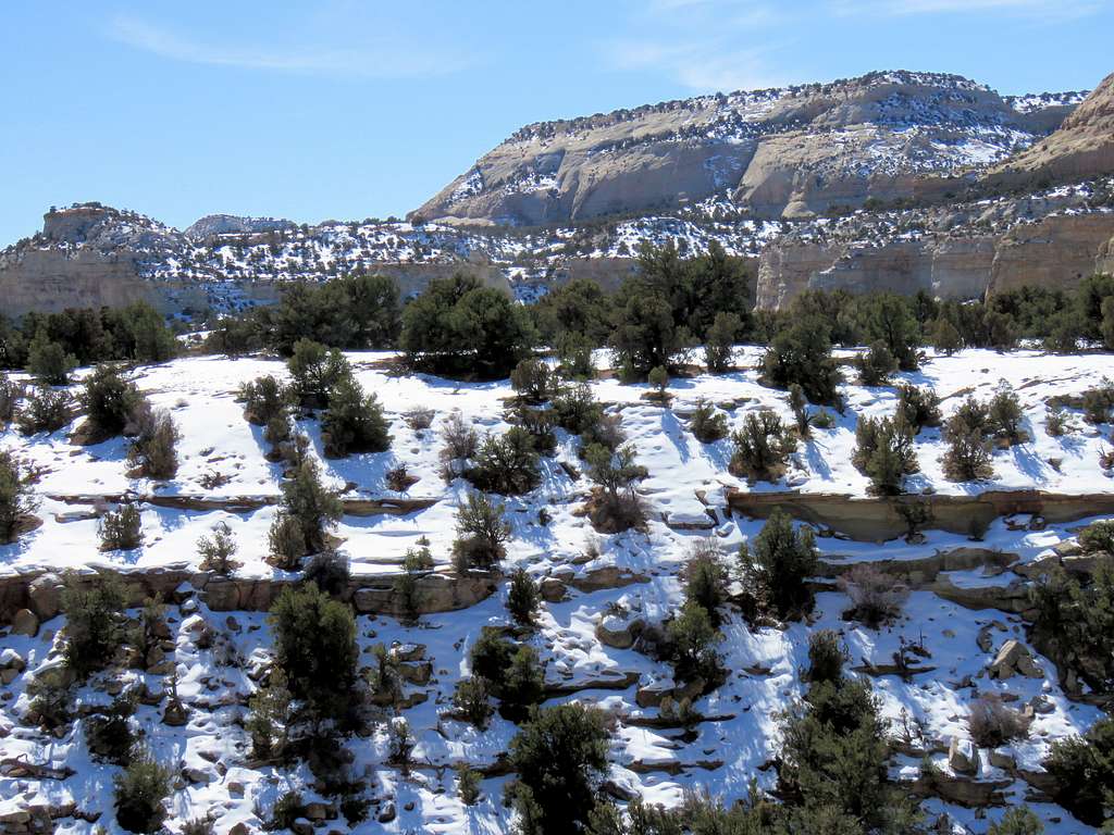
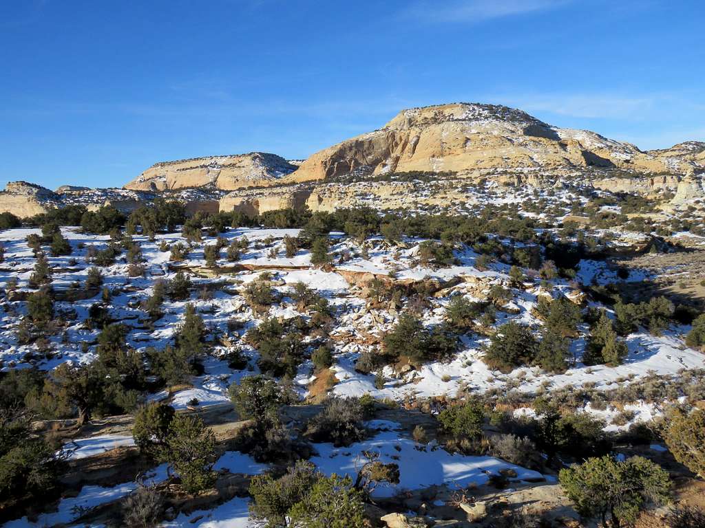
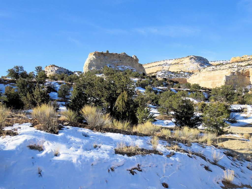
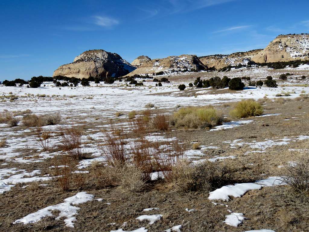
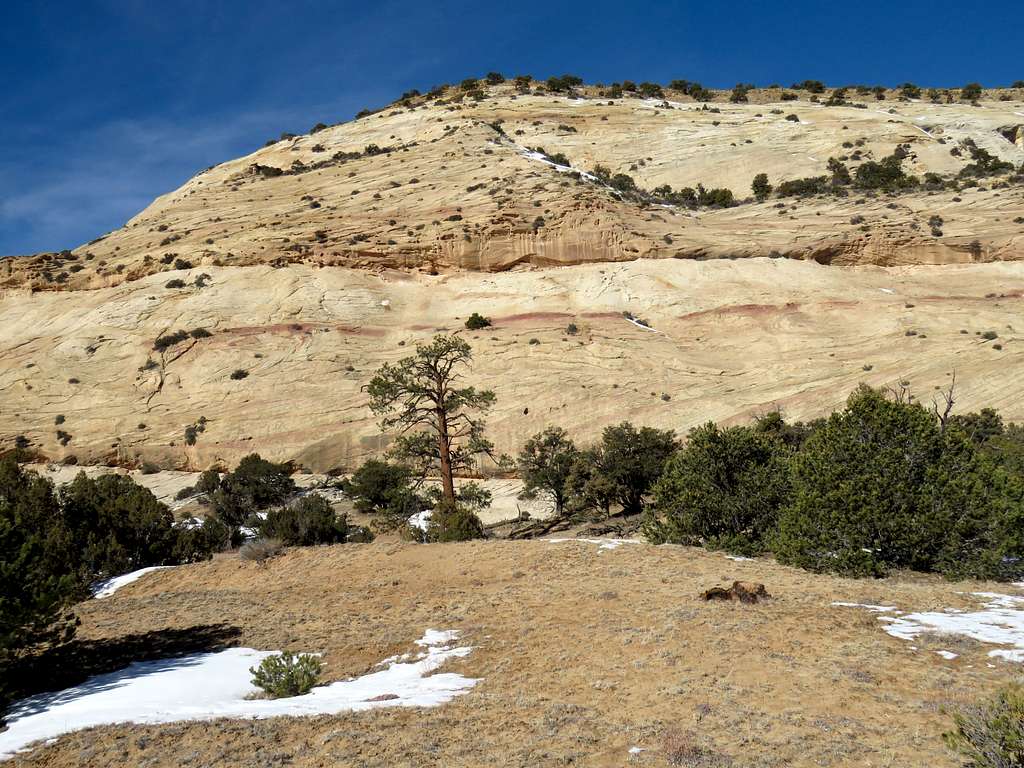
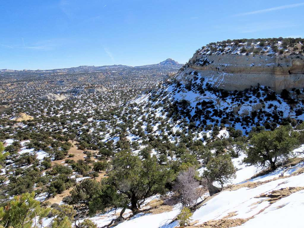
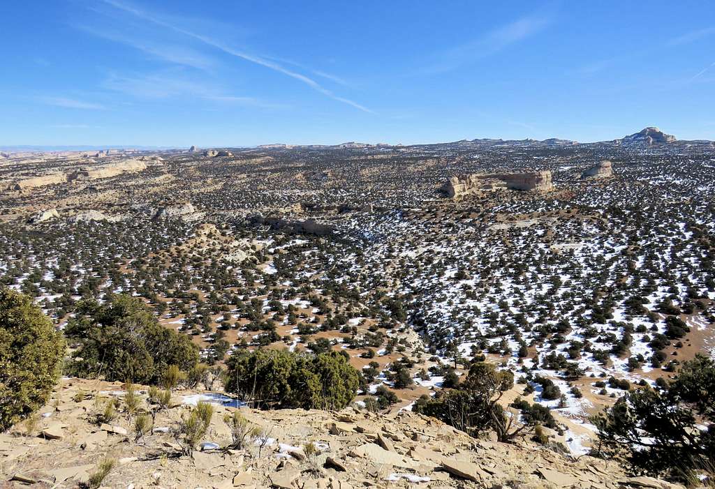
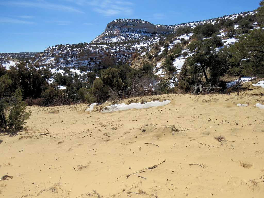
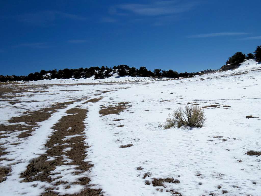
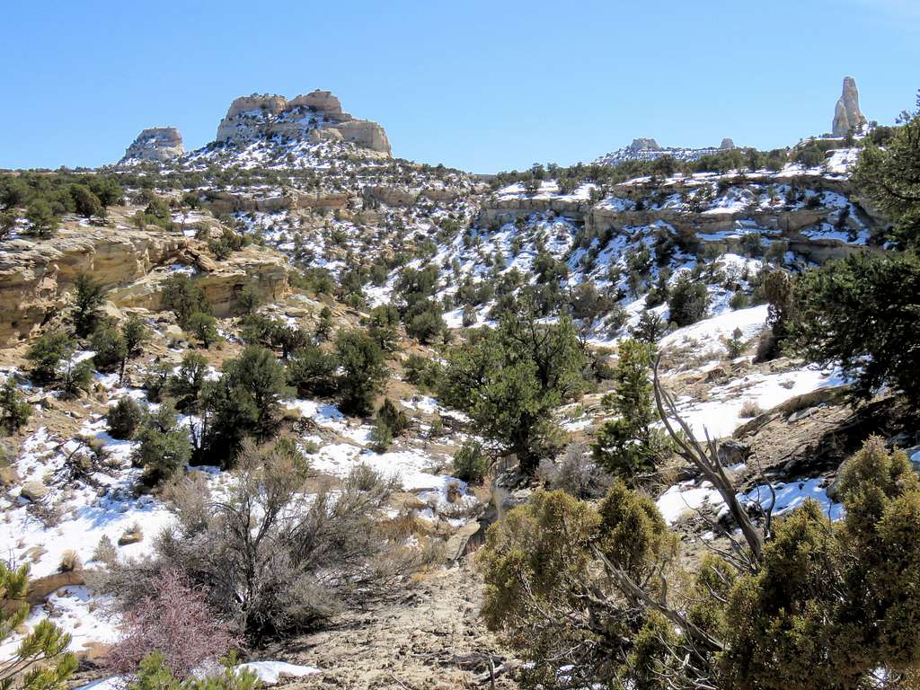
After 0.9 miles of hiking, I was up to 7090 ft in elevation where the road made a near 180 degree turn going down into a canyon. A number of flat-top benches could be seen to the west/southwest. I knew Sagebrush Bench was one of those but at the time could not tell which one (second from the right in the picture below).
San Rafael Knob and a bunch of other nameless “needles/towers” came to view.
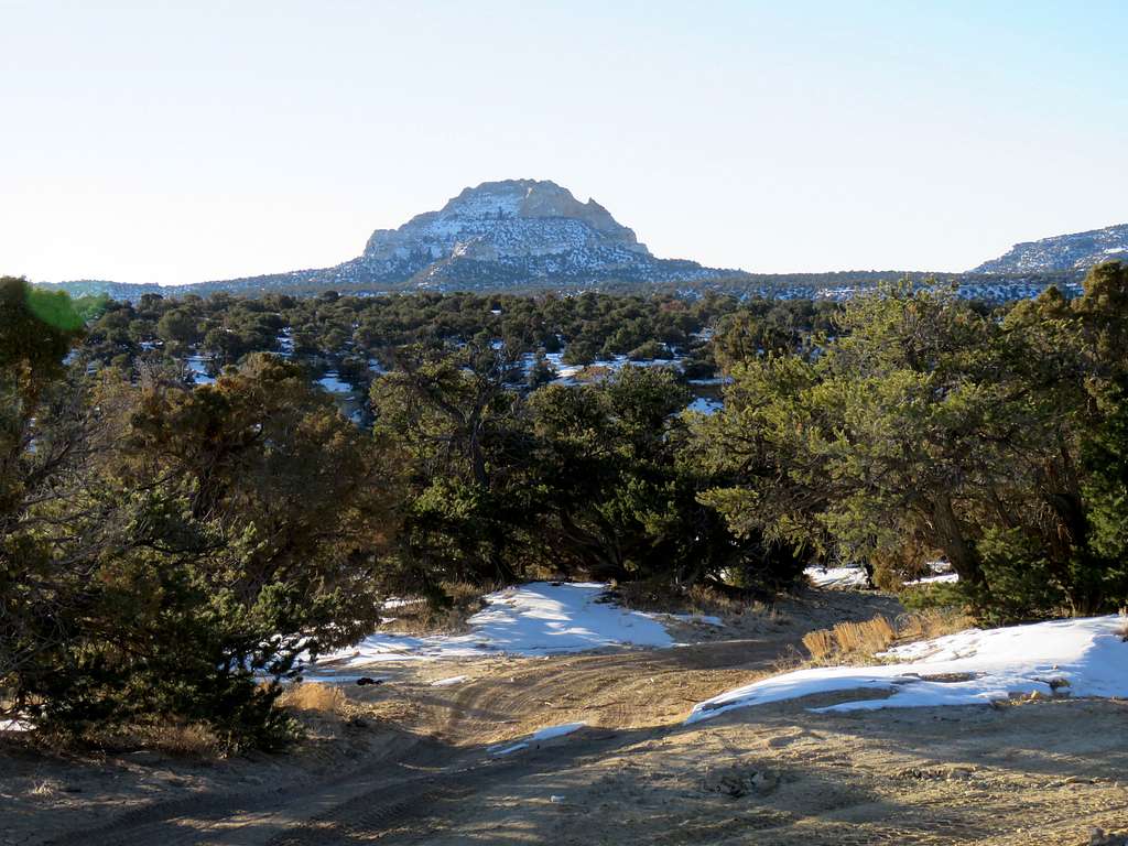
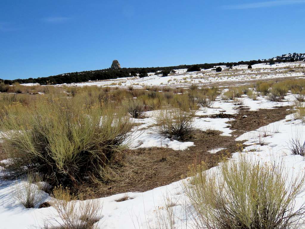
I could finally identify Sagebrush Bench (7460 ft) and Point 7380 ft to the right (north) of it.
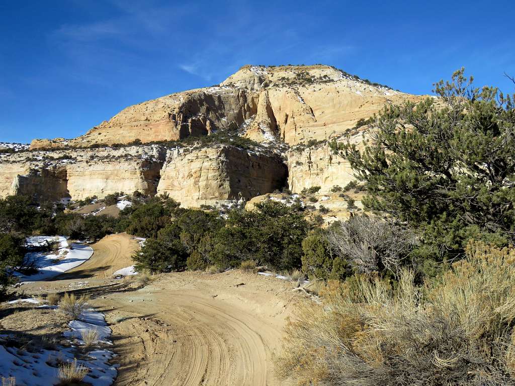
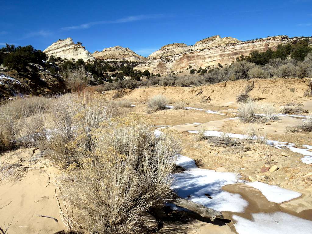
Down to 6720 ft, the road crossed the sandy bottom of Devils Canyon and then began to head south climbing out of the canyon. Where the road split, I went right (west).
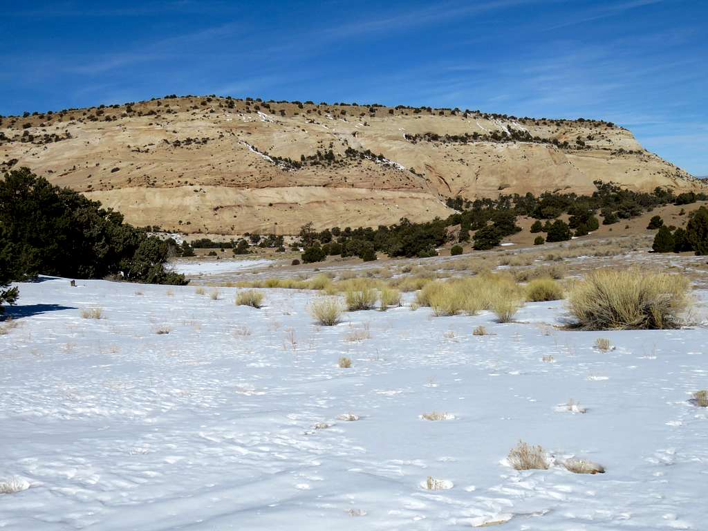
Up a switchback, the east face of Point 7380 ft came into good view. On Google Earth I had noted that if I could traverse the east face of Point 7380 ft, I could make a big shortcut to reach the base of Sagebrush Bench. Google Earth had shown a big canyon cutting into the east face potentially creating an obstacle so I had decided not to even try that path. The canyon scarring the east face was then visible.
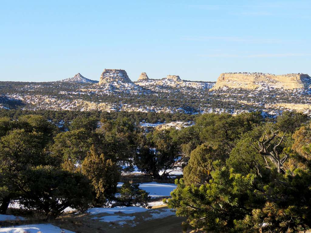
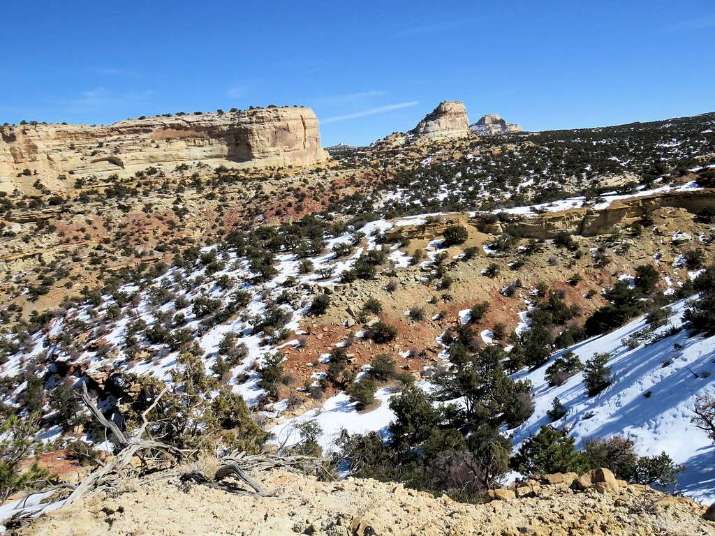
Sagebrush Bench and Point 6940 ft.
Looking north (behind)
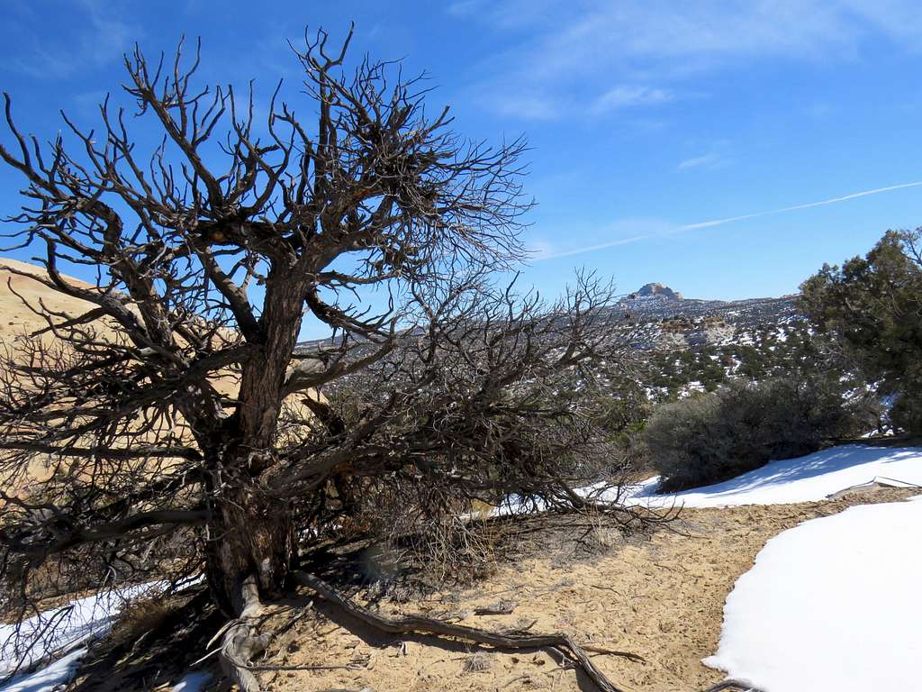
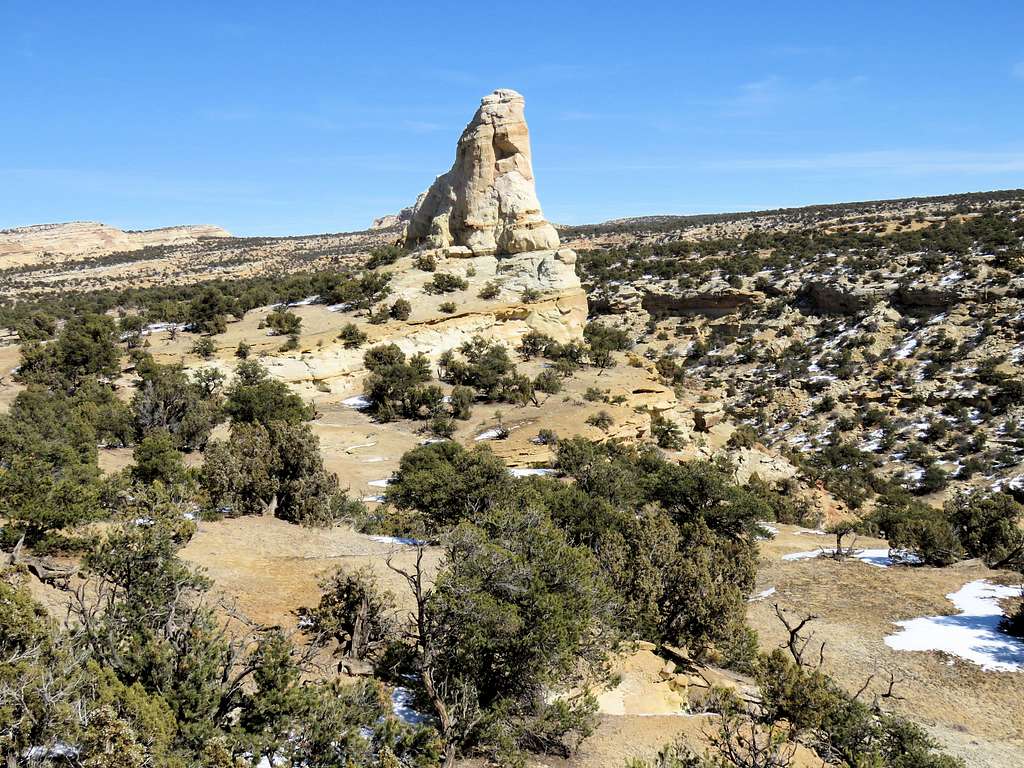
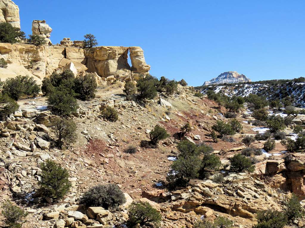
A beautiful tower, which I referred to as the 7020 ft tall tower.
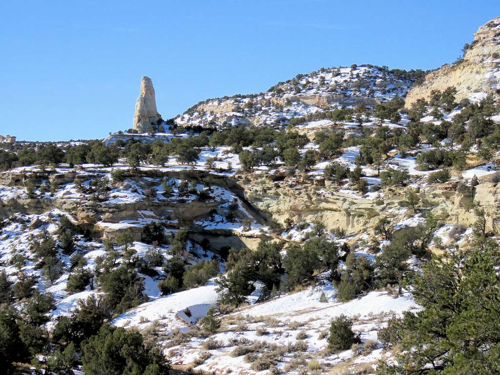
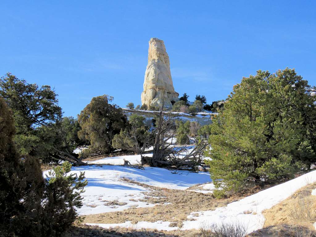
Another nameless tower.
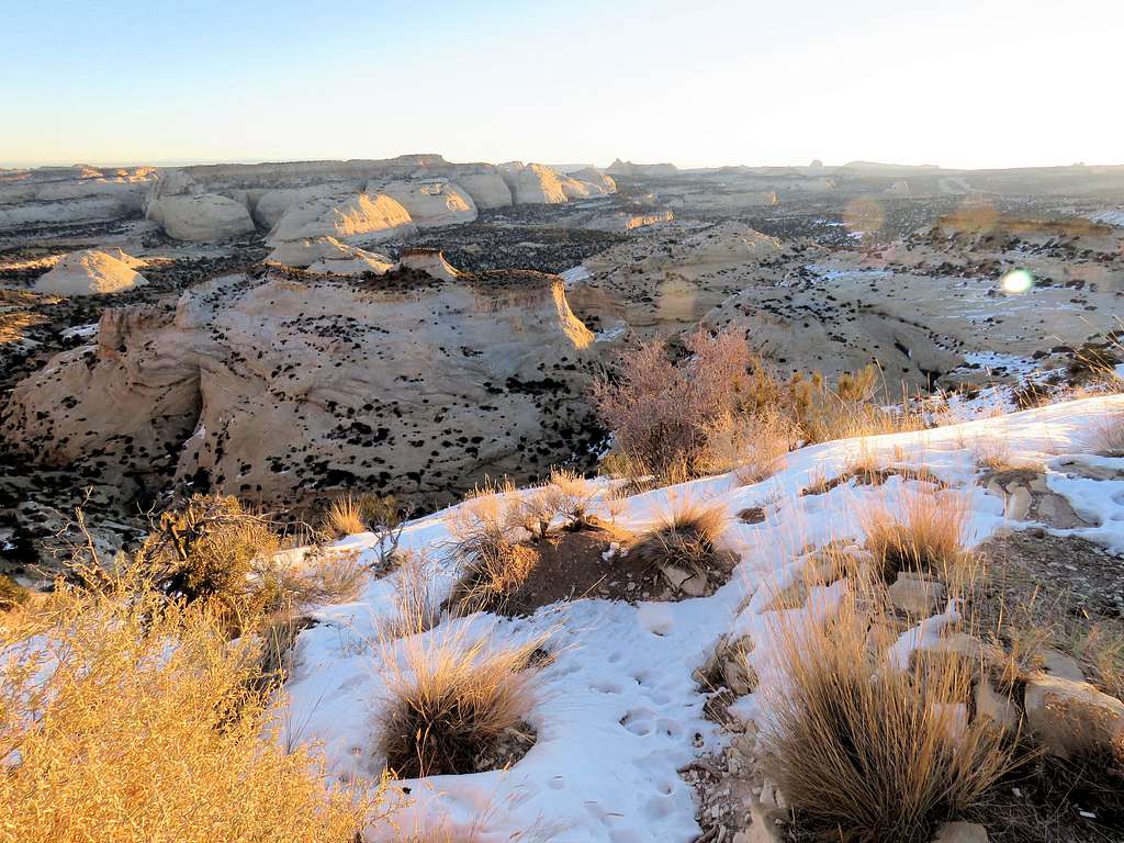
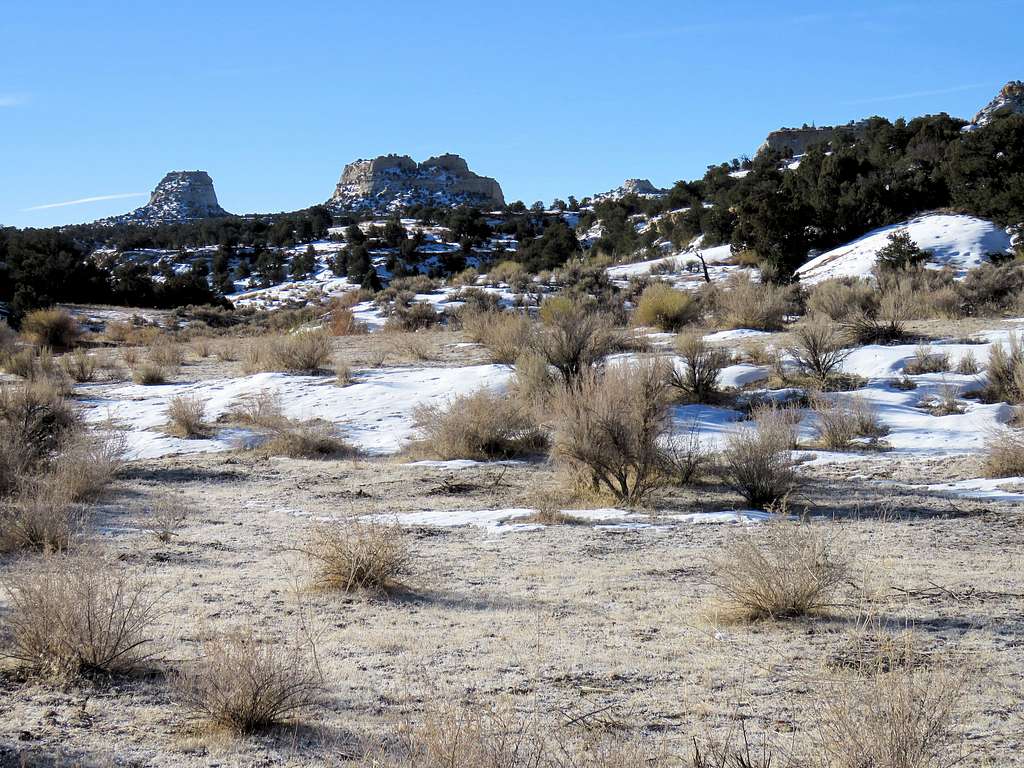
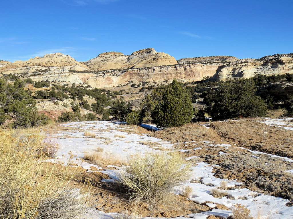
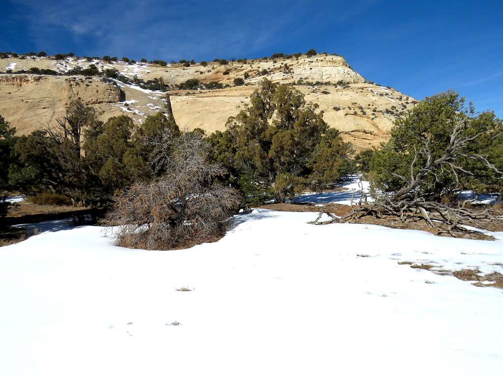
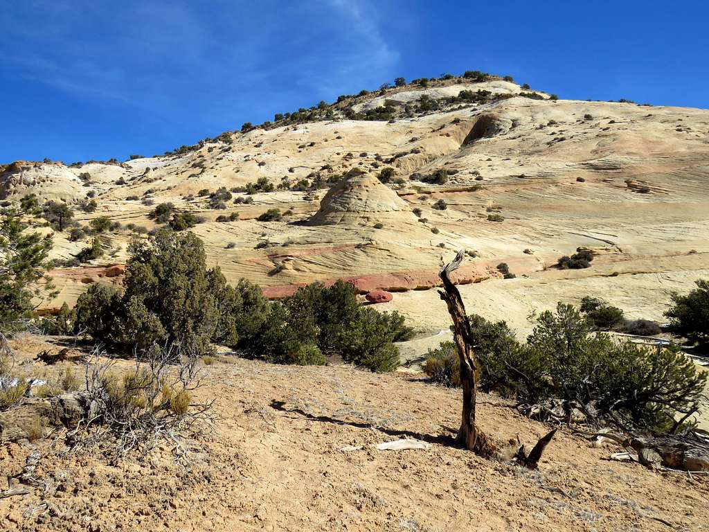
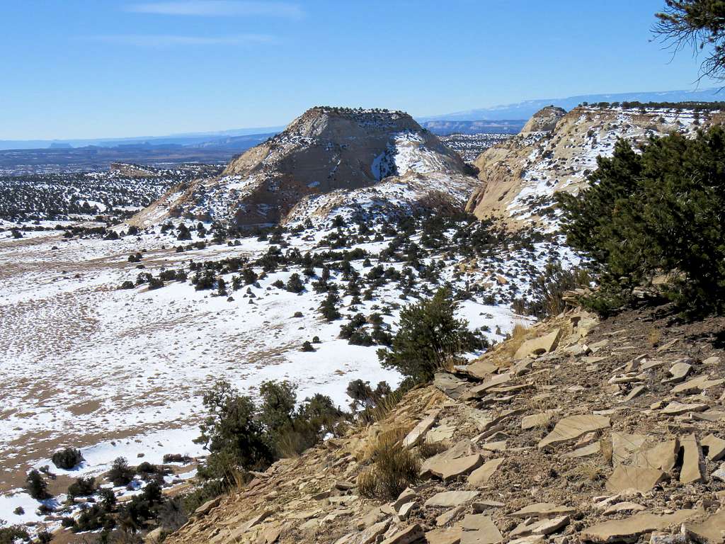
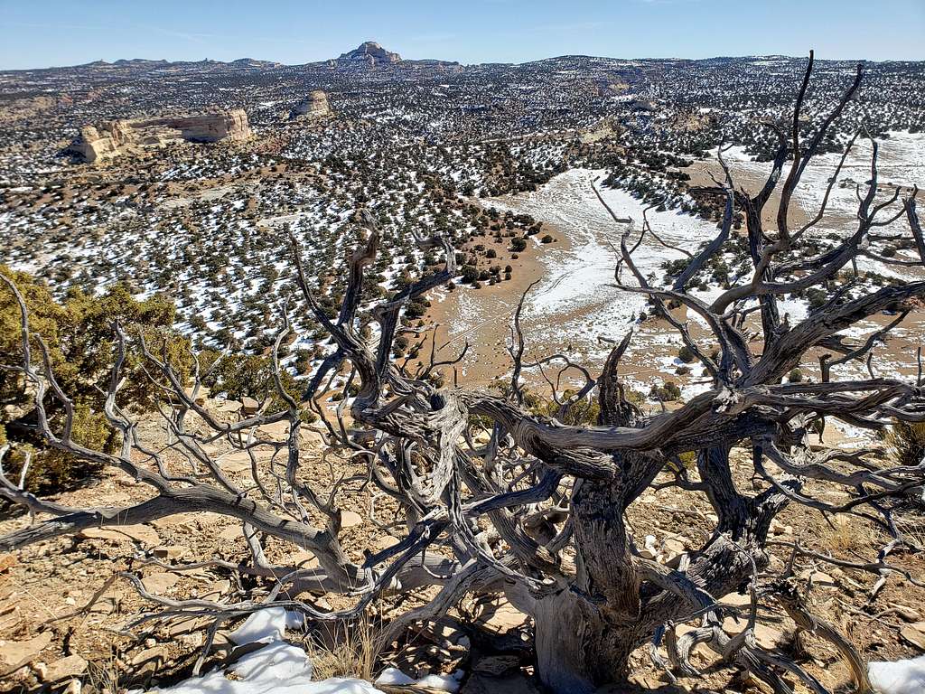
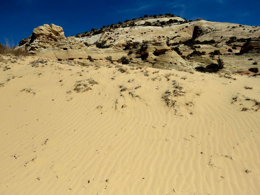
At 9:36 a.m., 7085 ft elevation and 4.54 miles of hiking, I reached a plateau called Copper Globe. The eastern wall of Sagebrush Bench could be seen rising above the west end of the plateau.
Point 7500 ft at the south end of the plateau.
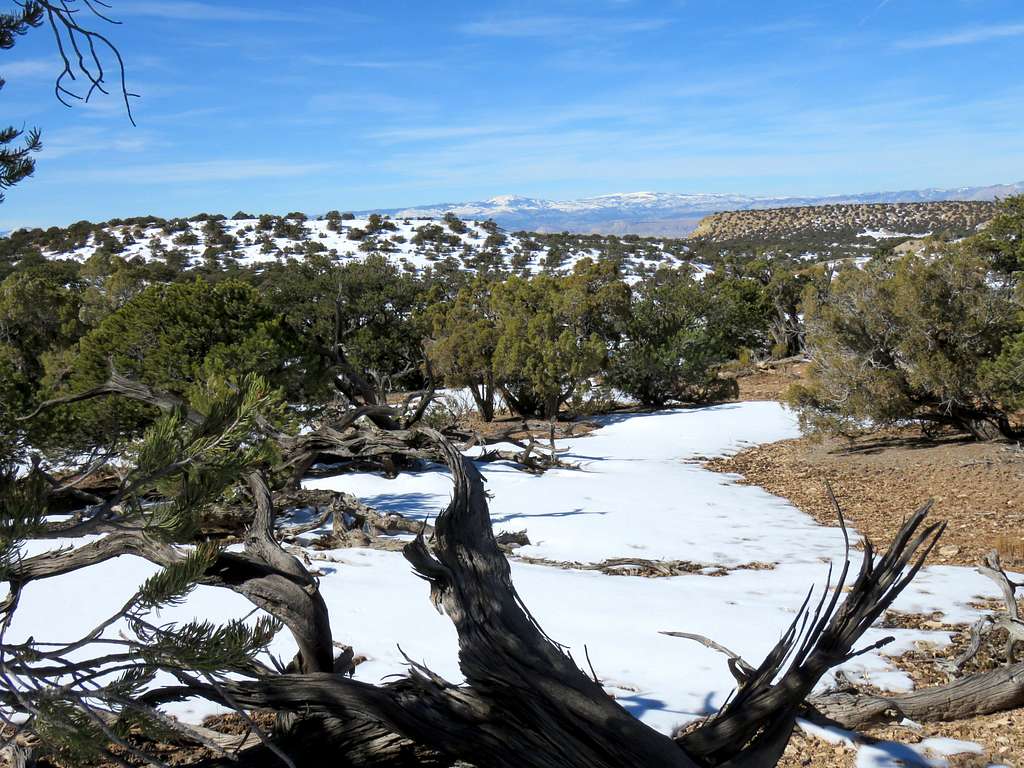
Left the road and made an almost 180 degree turn heading northwest and then north on the plateau following the path that I had entered into my GPS. Could see one big tree among a sea of junipers. Was jokingly thinking about some sort of a commercial about being the only true one among all the fake .
Half the ground was covered with snow. Where there was no snow, to my surprise, a trail appeared that seemed to follow the path that I had entered into my GPS myself.
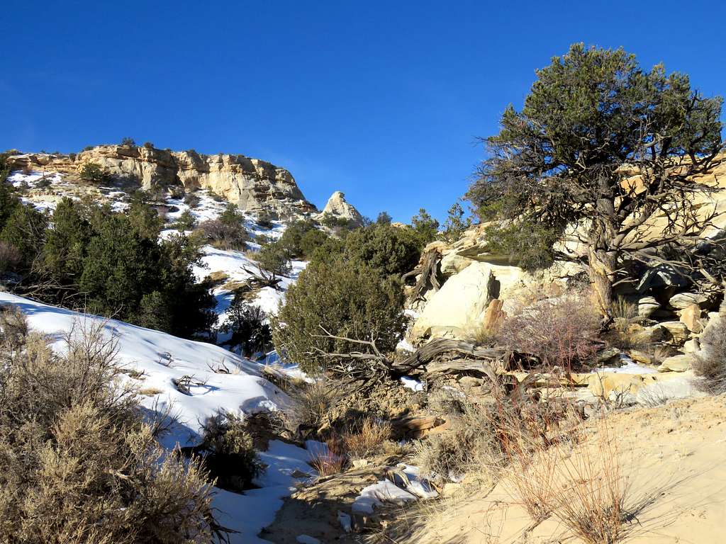
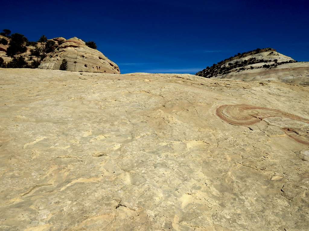
The trail soon seemed to want to go a different route than what I had entered into my GPS. I did not know what that trail was and where it went so I left it and went up a slickrock slope to reach a slickrock saddle.
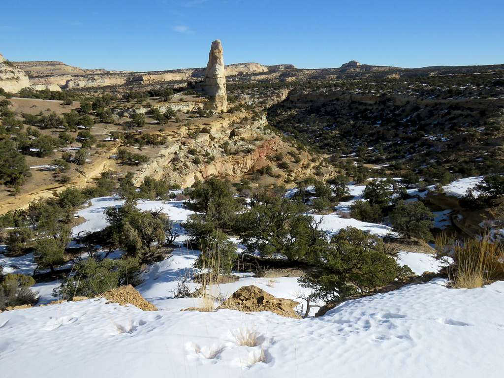
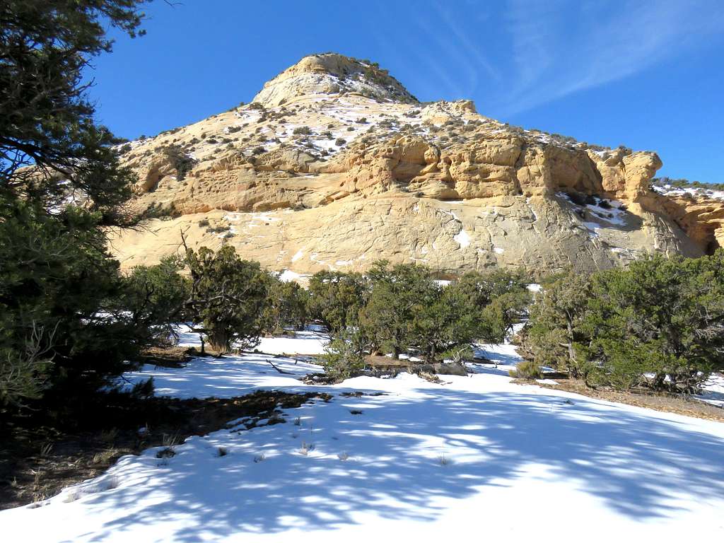
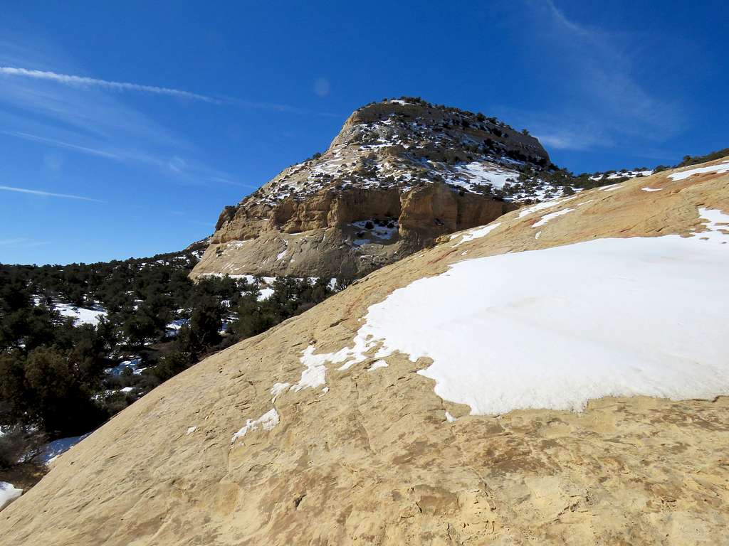
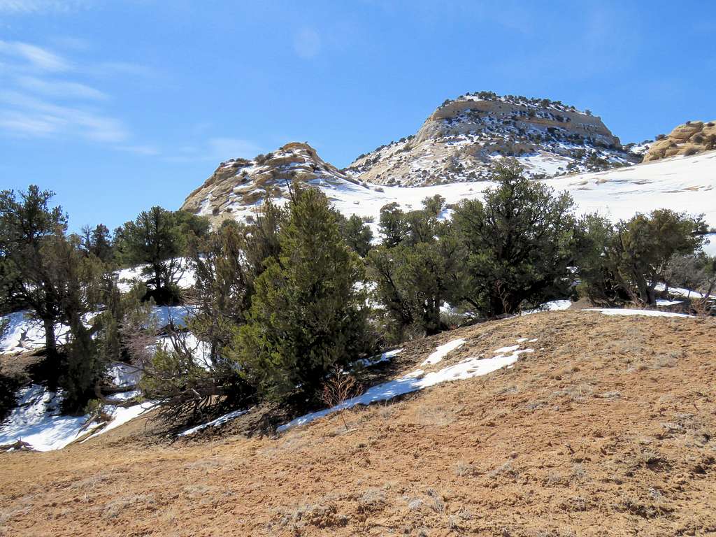
North face of Sagebrush Bench from the saddle.
From the slickrock saddle, I had to go down some 50 vertical feet into a drainage. The north slope of the saddle was made of slickrock covered by snow. I did not want to slip and break a bone so had to look a lot until I found a safe path down. Once at the bottom of the drainage, the trail appeared again. I was at that point at the southern base of Point 7380 ft.
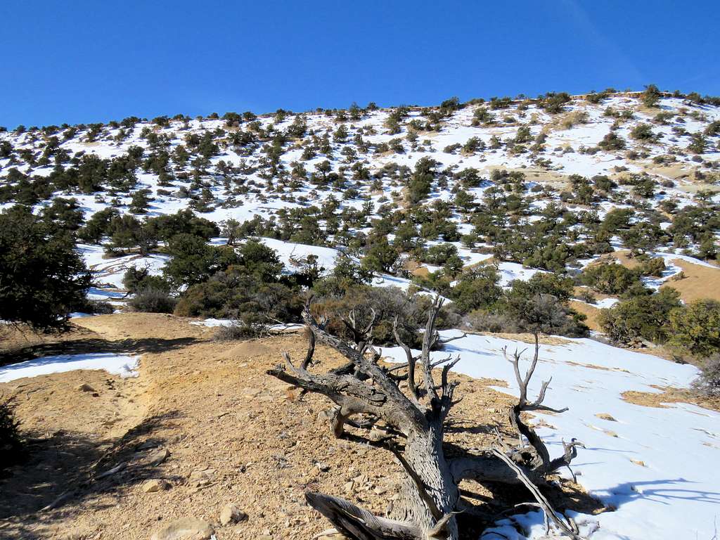
Followed the trail up a snowy juniper covered slope.
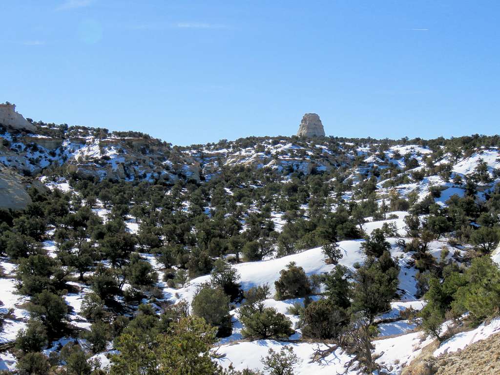
North face of Sagebrush Bench and San Rafael Knob.
At an elevation of 7290 ft, the trail went through a short rocky area and then I was suddenly on the top plateau. Followed the trail south through the juniper covered sloped plateau. It was hard to say where the exact summit was but I had entered it into my GPS. When close, I left the trail and hiked 200 feet to reach the summit at the edge of the eastern wall that dropped down onto Copper Globe Plateau. A pile of rock identified the summit. It was 11:00 a.m. and I had hiked 7.07 miles. Looking south at Point 7500 ft.
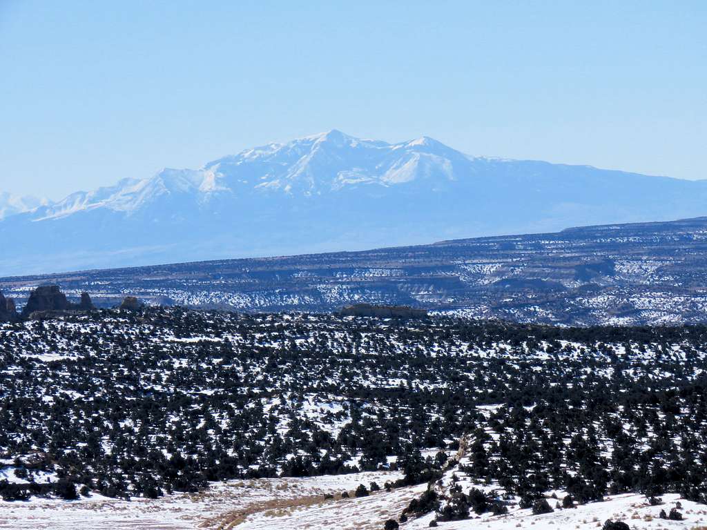
Henry Mountains 48 miles to the south. Zoomed views.
San Rafael Knob 3 miles to the east.
Looking west.
Another view of San Rafael Knob.
Had lunch, enjoyed the views and left at 11:25 going back the way I had come. Went down the juniper covered slope until I was back in the drainage north of the slickrock saddle.
Sandy area at the base of Point 7380 ft.
Instead of going back up to the slick rock saddle, I chose to follow the trail. It made a nice bypass around it.
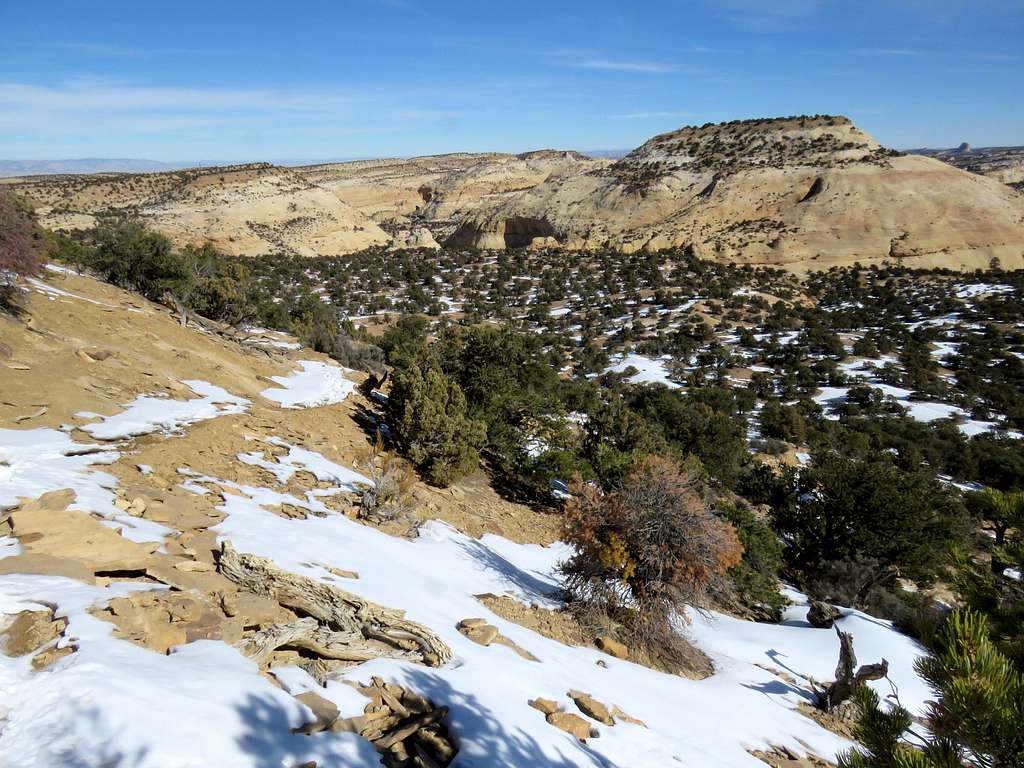
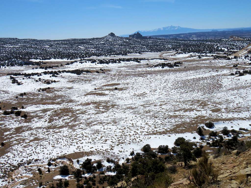
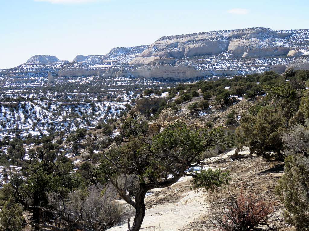
More views from Copper Globe Plateau.
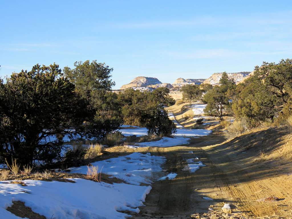
Reached the road a little farther south than where I had left it at 12:35 p.m. After a short rest, began to follow the road back.
Devils Canyon area.
Up out of Devils Canyon.
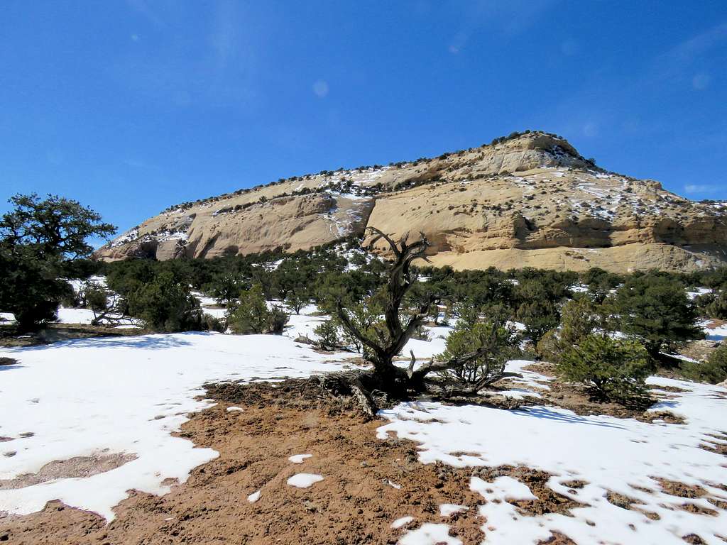
Last look back at Sagebrush bench (the flat-top on the right).
Reached the Jeep at 2:32 p.m. It was up to low 40s degrees F. No one was there.
Red Tape
No fees or permits needed.