
Comments
No comments posted yet.
|
|
Trip Report |
|---|---|
|
|
36.22714°N / 114.62127°W |
|
|
Download GPX » View Route on Map |
|
|
Feb 9, 2022 |
|
|
Hiking |
Note: Bowl of Fire is a different place than the nearby similarly named Valley of Fire.
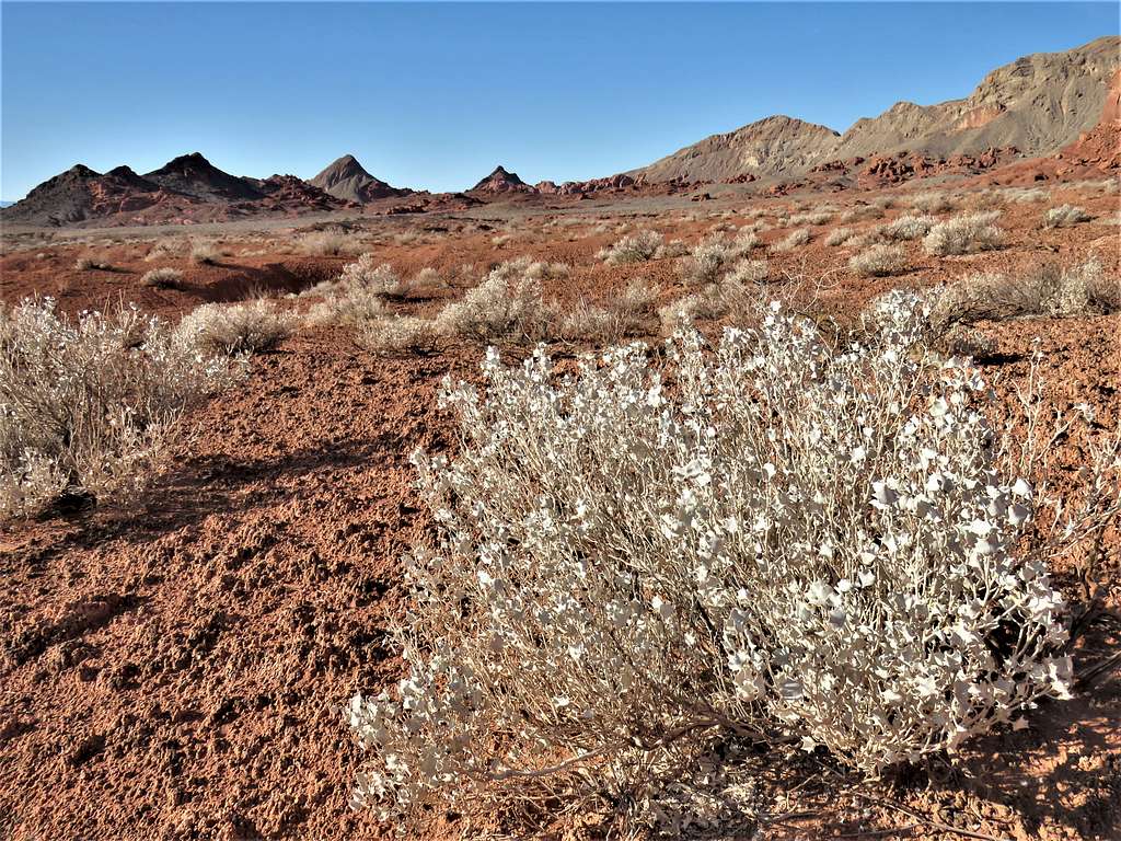
Bowl of Fire refers to an area of red colored lands to the east of Las Vegas, Nevada. In November of 2013, more than 8 years prior to this hike, I had visited the western parts of the Bowl of Fire . This time, I wanted to explore the eastern areas. No trail went into Bowl of Fire. Looking at Google Earth and online maps, it appeared that Northshore Summit Trail Head on Northshore Drive would be a good starting point. I came up with a path that took me half a mile up the trail to the top of a hill with good views of the surrounding badlands. I then went beyond the trail into the Bowl of Fire.
Hike Length: 7.15 miles
Maximum Elevation: 2560 ft
Minimum Elevation: 2040 ft
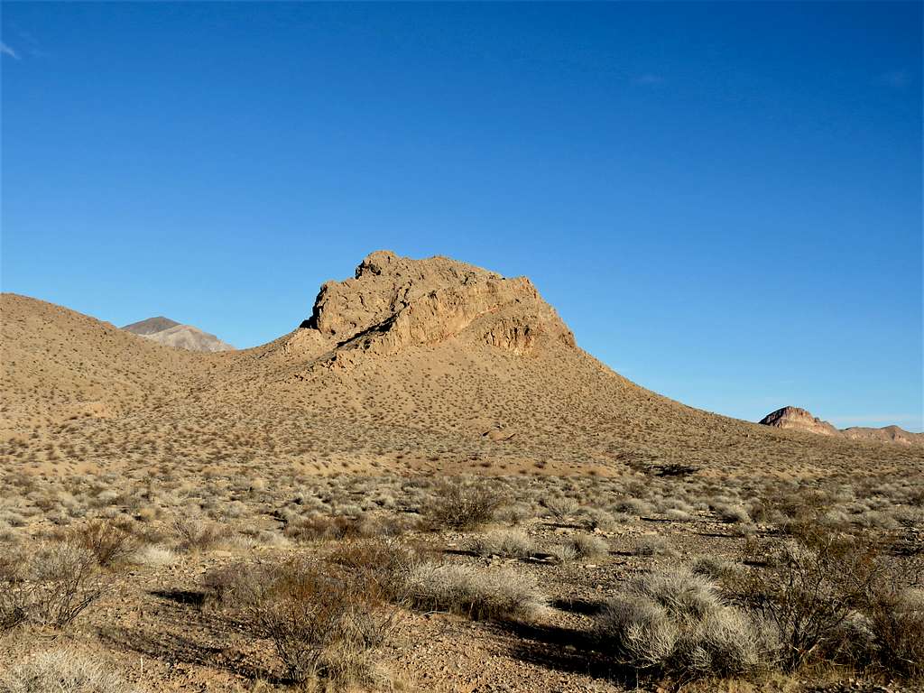
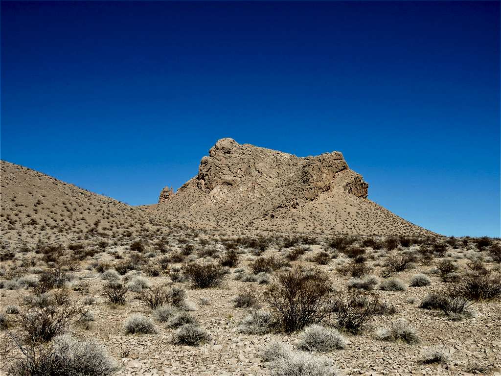
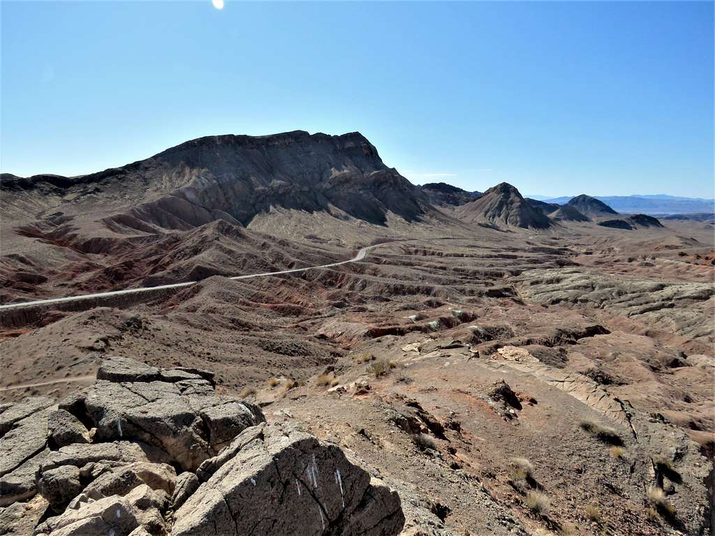
Drove to Northshore Summit Trail Head on Northshore Drive beyond mile marker 20. No one was there and I did not see any other person until the end of the hike. Started my hike at 6:35 a.m. It was in the upper 40s degrees F and elevation was 2370 ft. The 3330 ft high Northshore Peak rose dramatically on the south side of the road. I had climbed it in November of 2013.
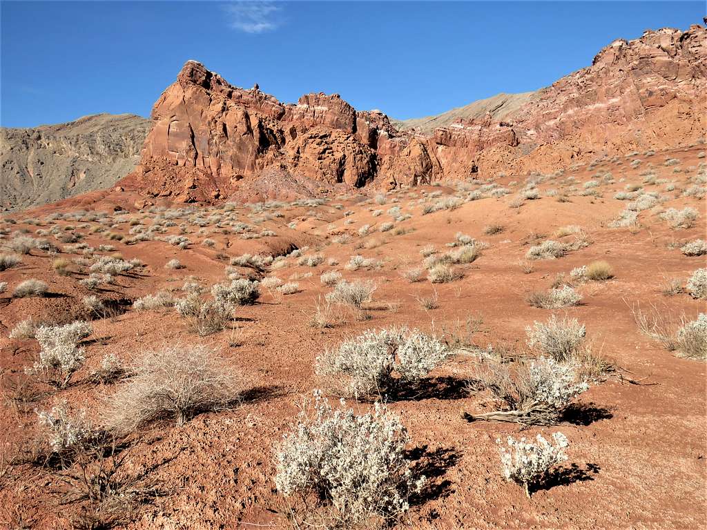
Got on a trail that went northwest climbing a hill. In 0.25 miles, I was on top of a ridgeline at 2560 ft elevation with great views of the badlands to the west.
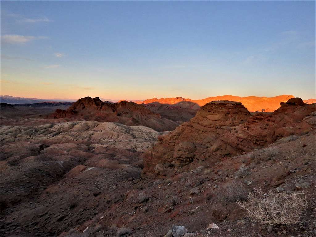
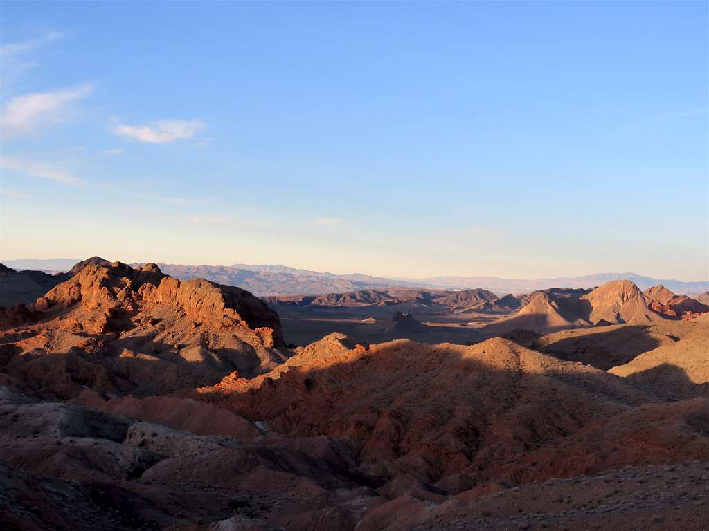
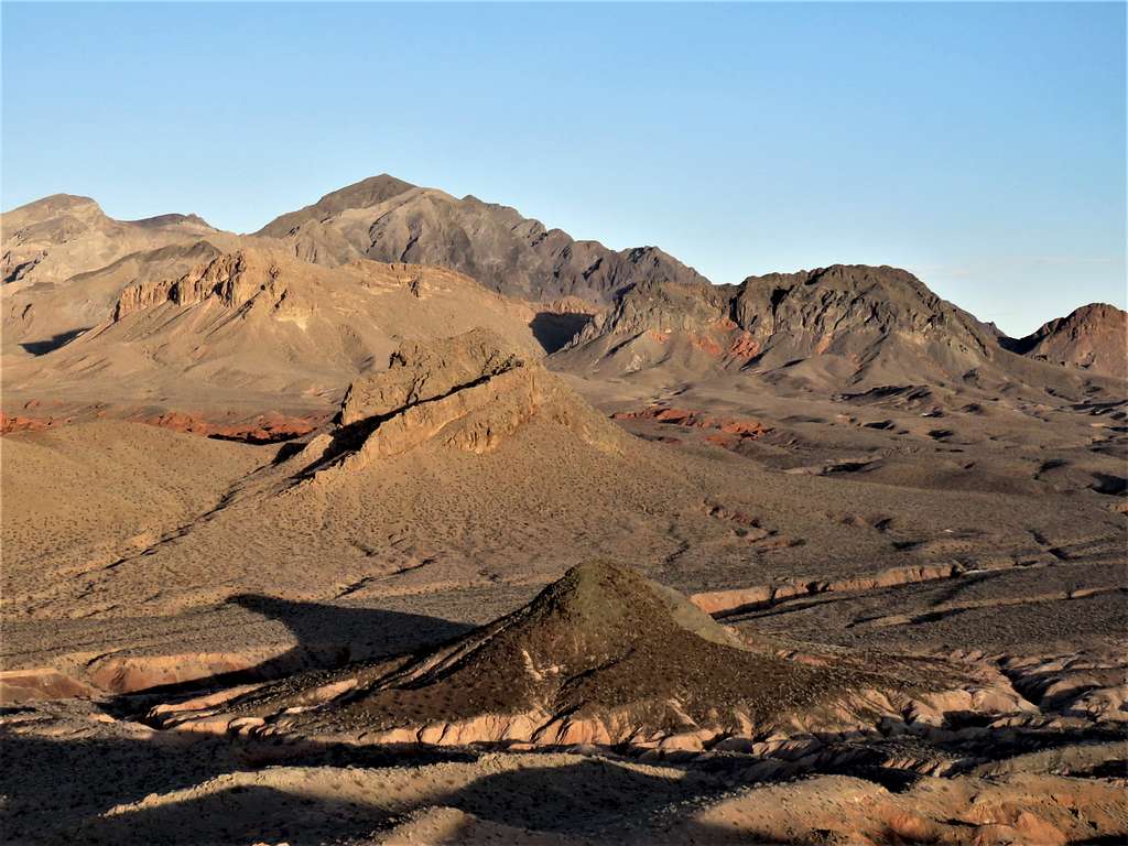
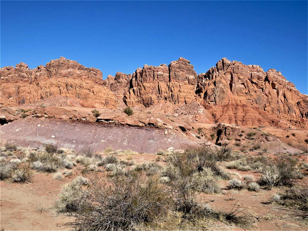
Northshore Peak.
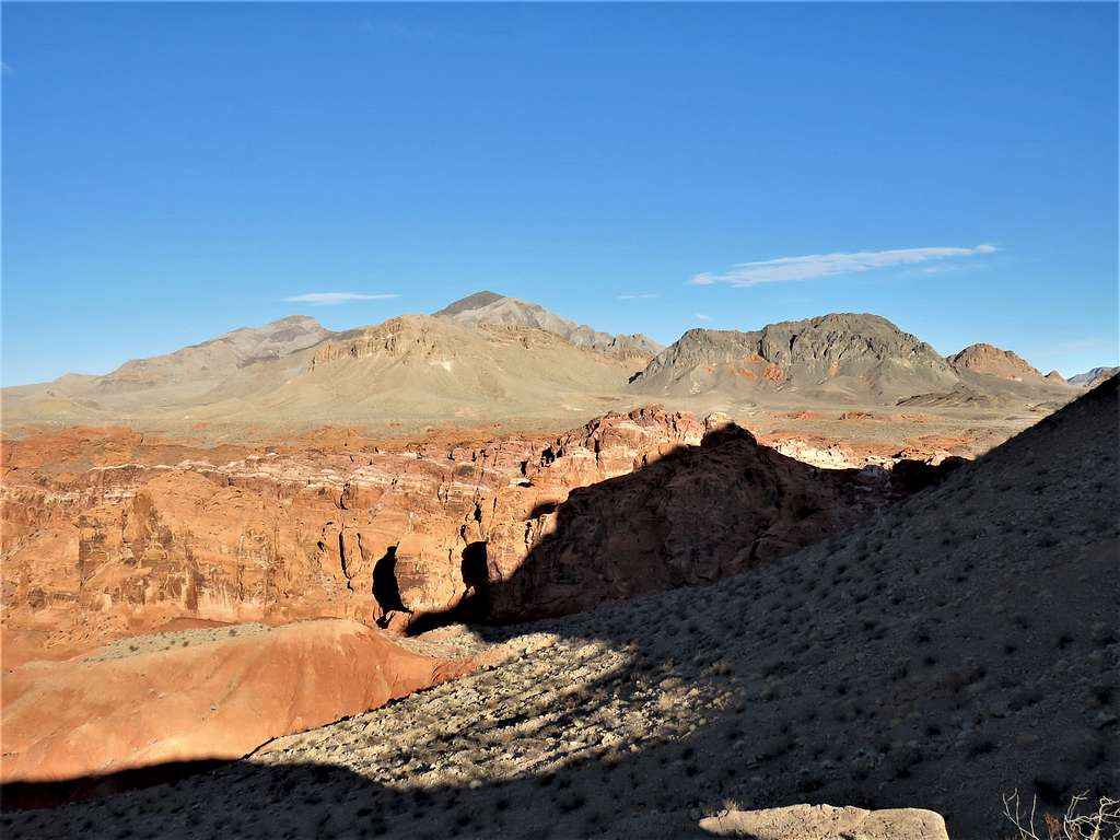
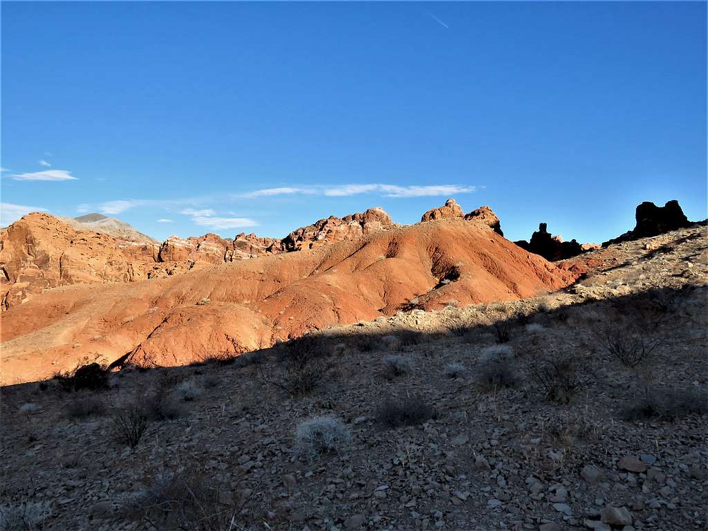
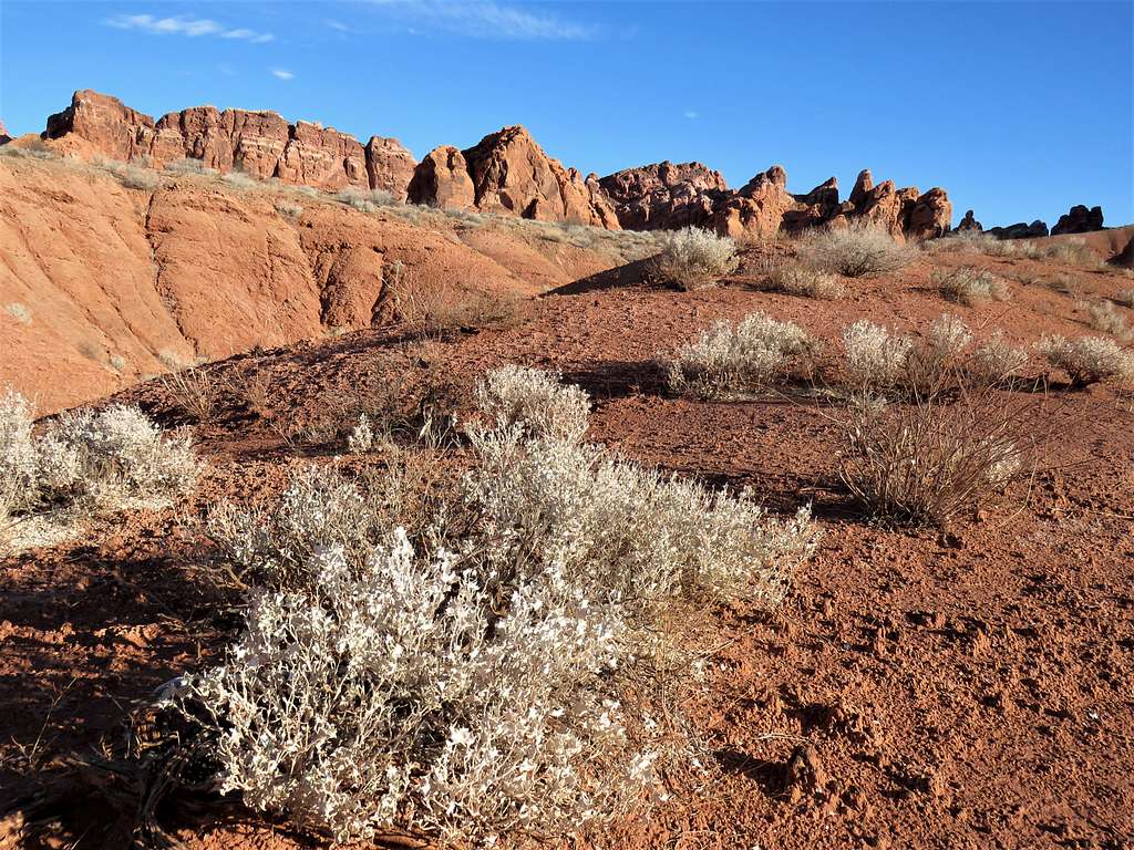
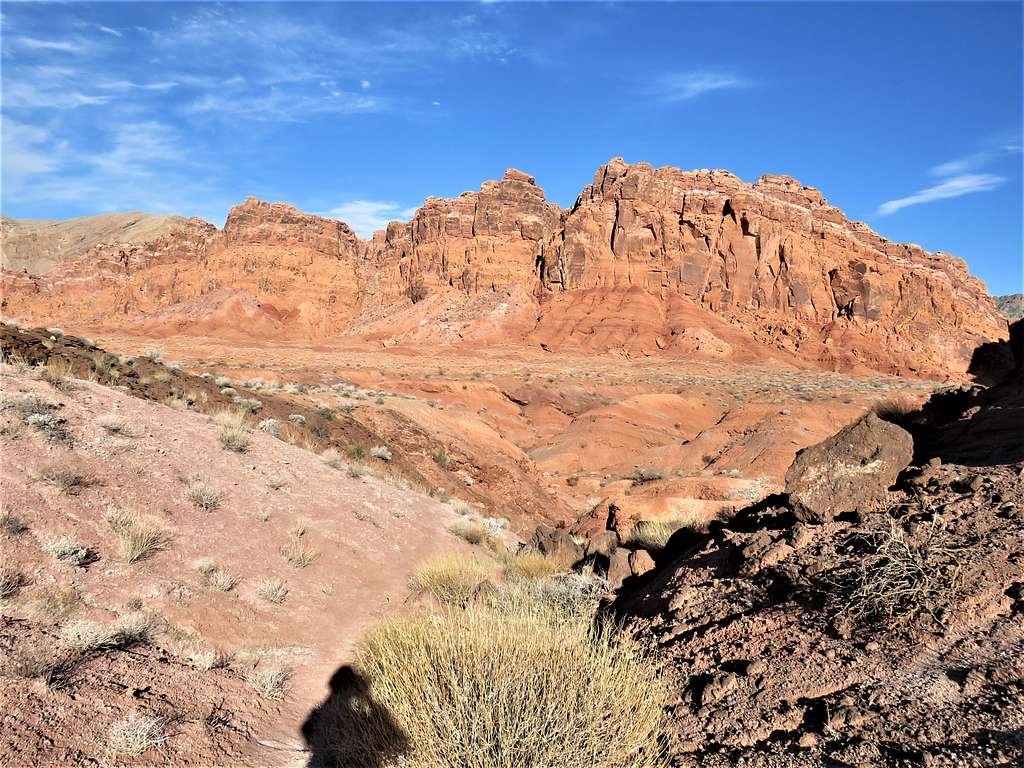
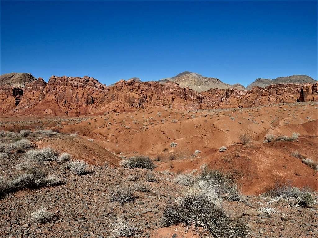
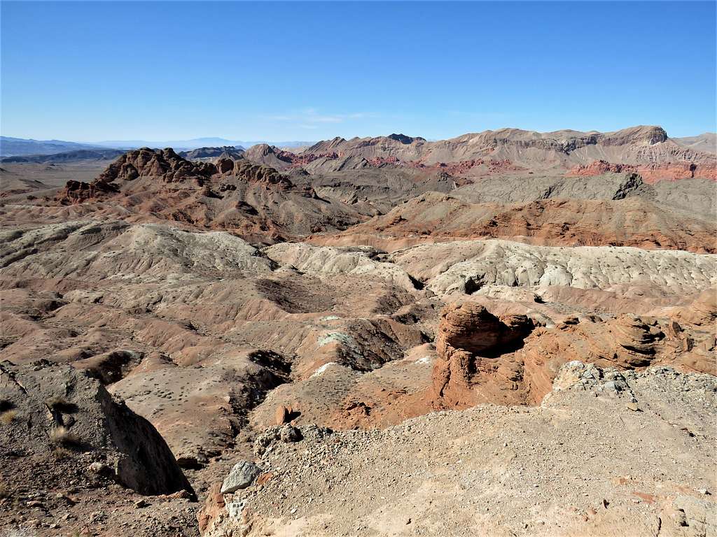
Zoomed view of Muddy Mountains and the red cliffs of Bowl of Fire.
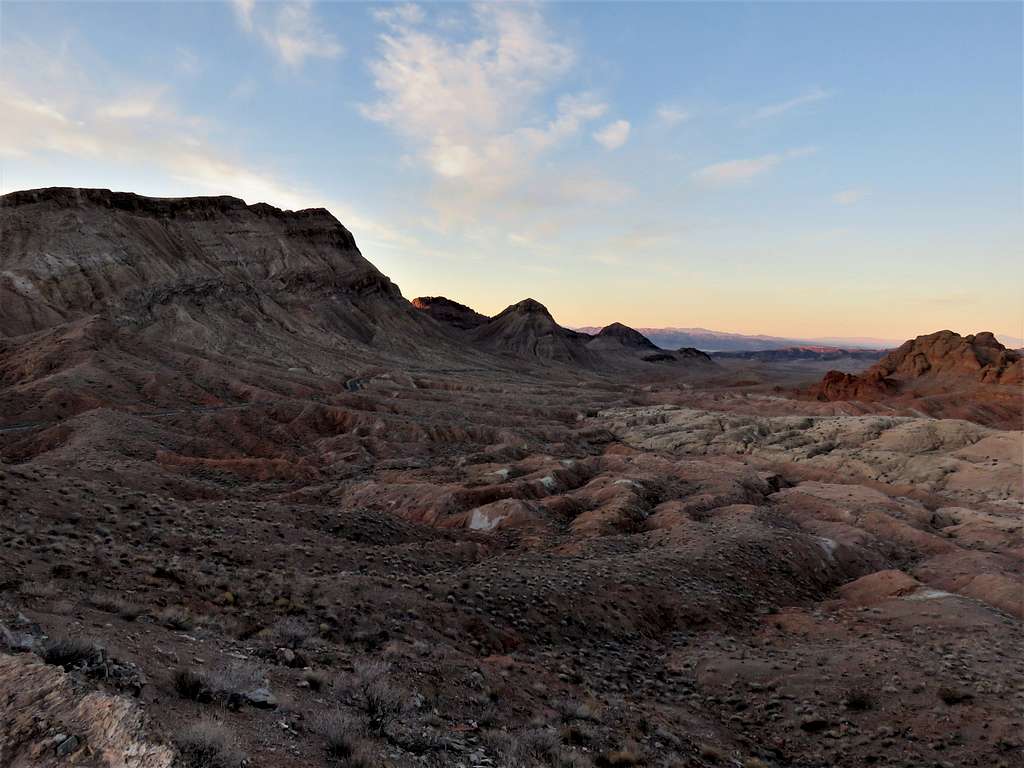
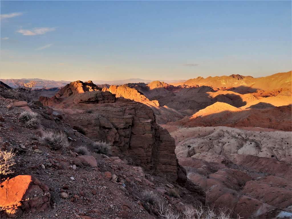
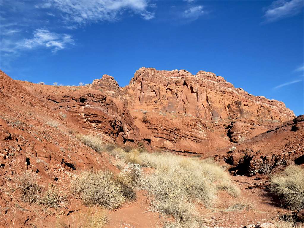
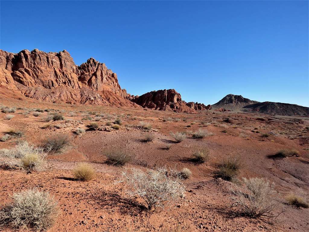
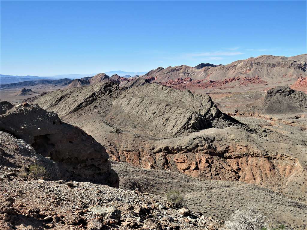
Continued north on the ridgetop trail.
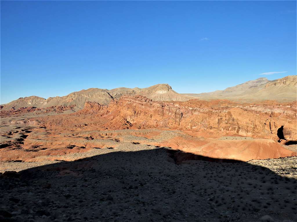
More good views from the trail.
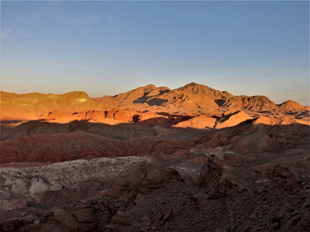
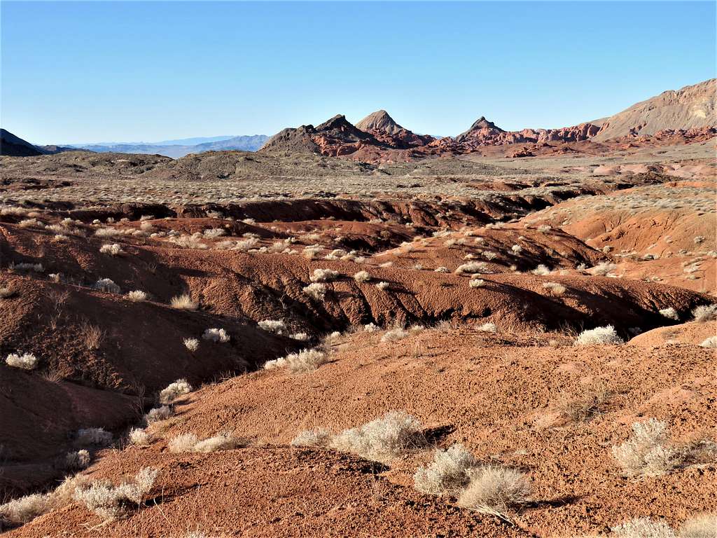
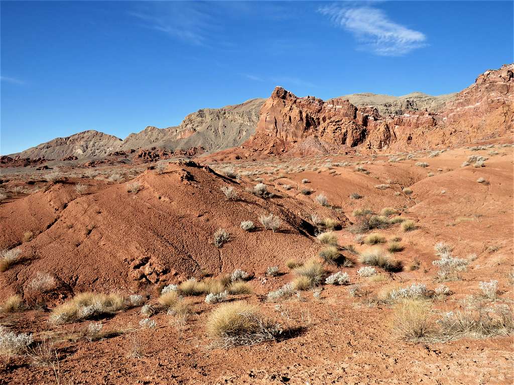
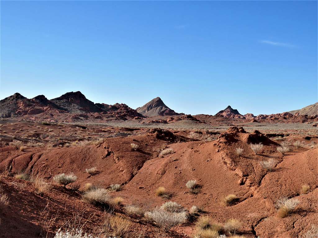
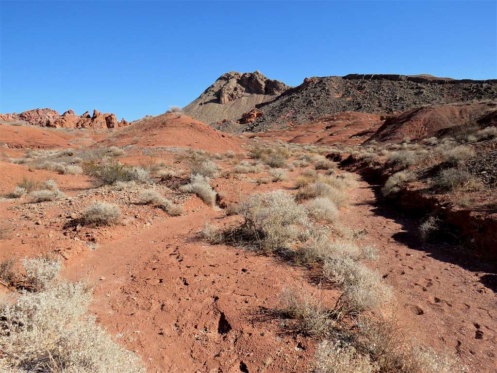
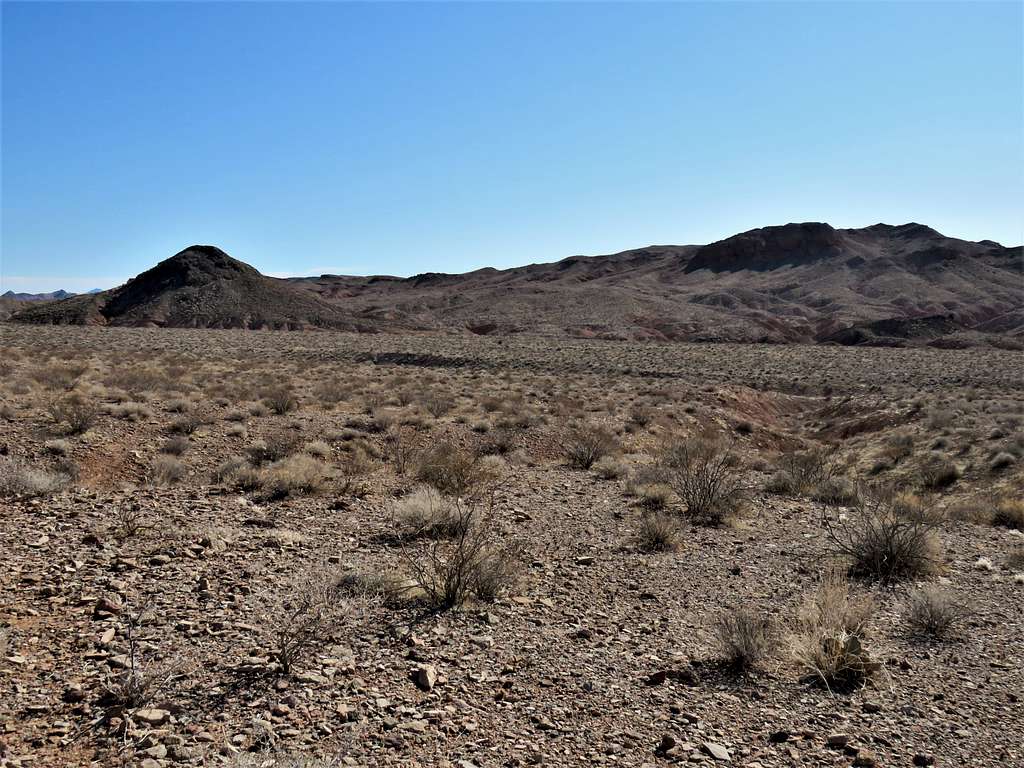
After 0.75 miles, the trail reached a place where it began to go downhill. Had good views of Muddy Peak (5387 ft) and Muddy Benchmark (5431 ft). Two nameless peaks, one 2693 ft and the other 2313 ft were also in good view (on the USGS Maps identified as 821 m and 705 m). I had considered going to the top of Peak 2693 ft since I first planned the hike.
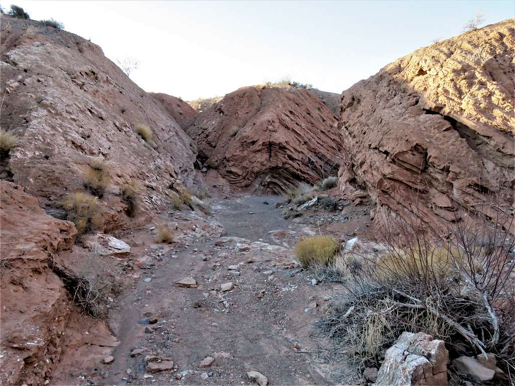
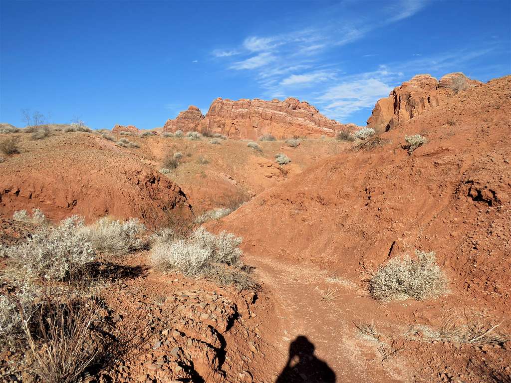
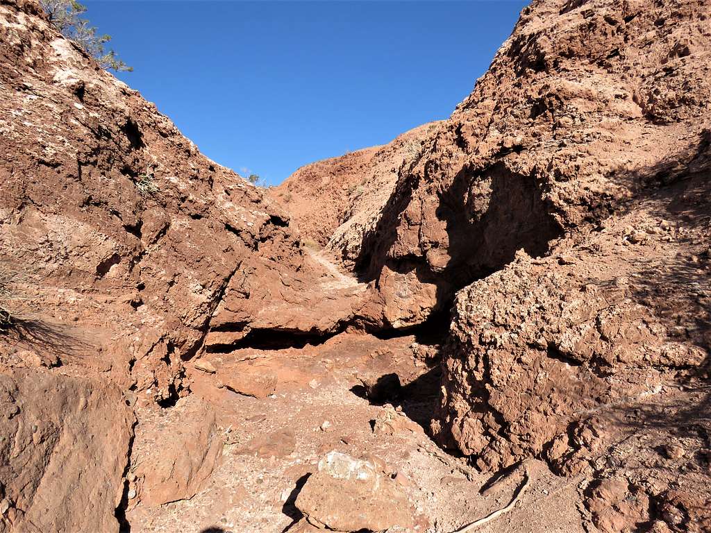
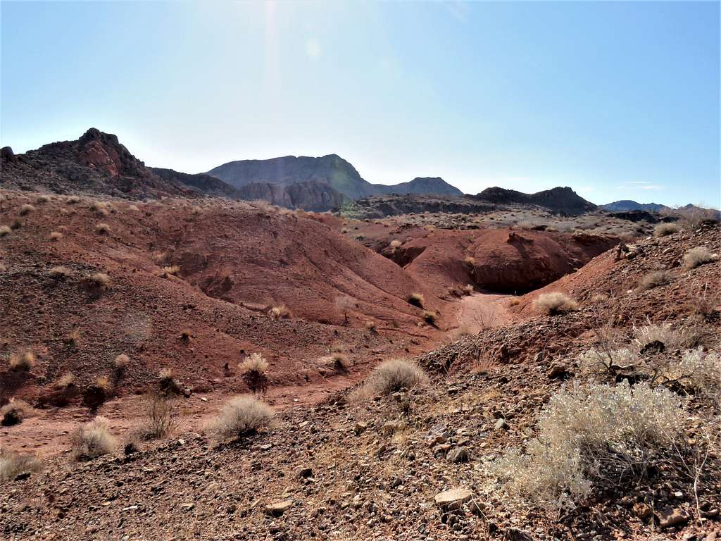
Hiked the trail down the slopes until the trail faded away and I got into the bottom of a network of meandering small canyons that did not follow the path that I had entered into my GPS but I knew that the canyons would eventually take me to where I needed to be.
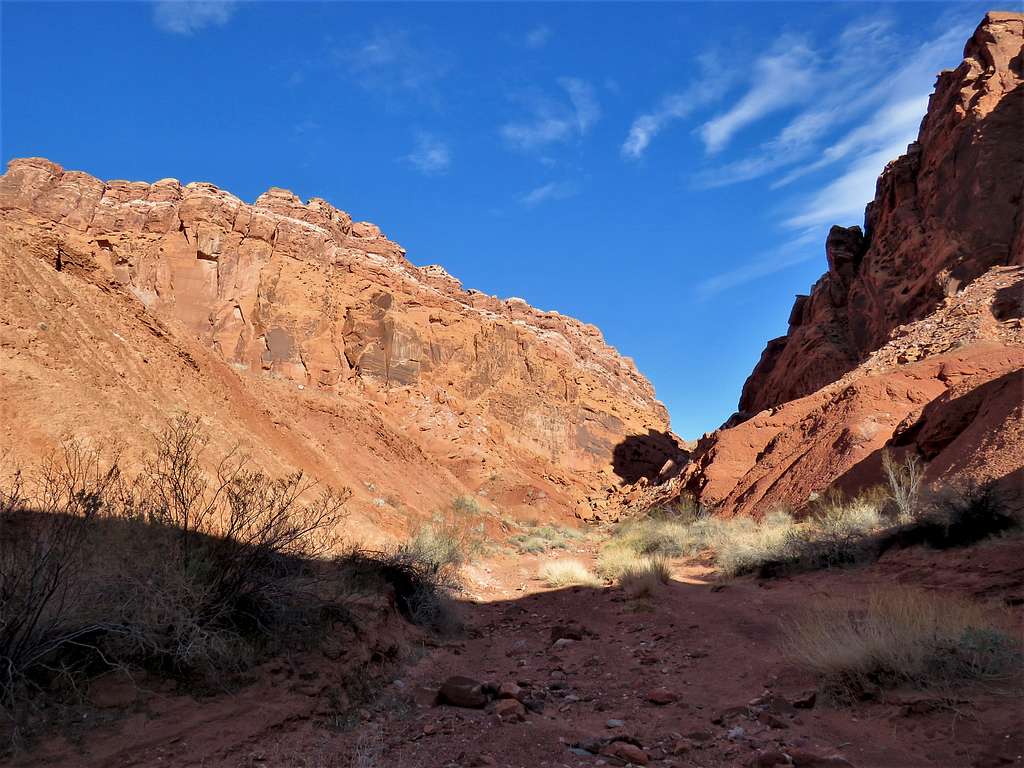
View north before entering the canyons.
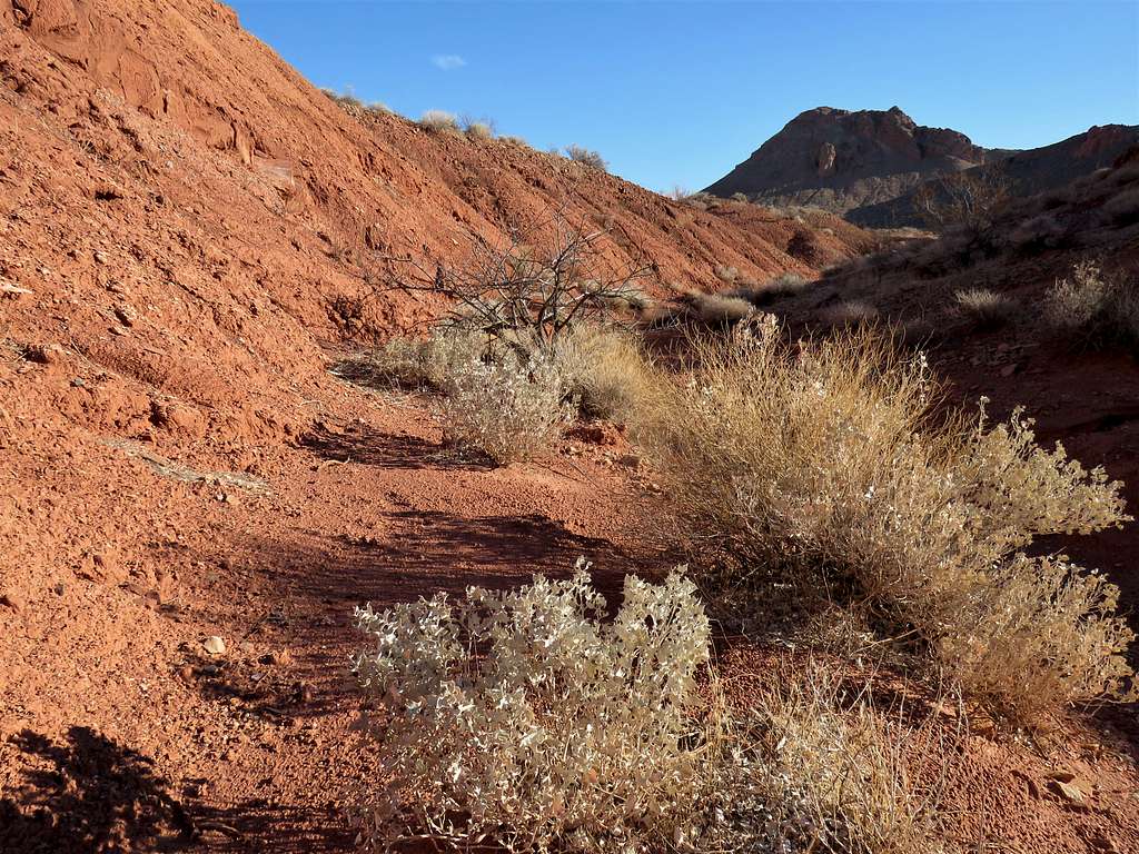
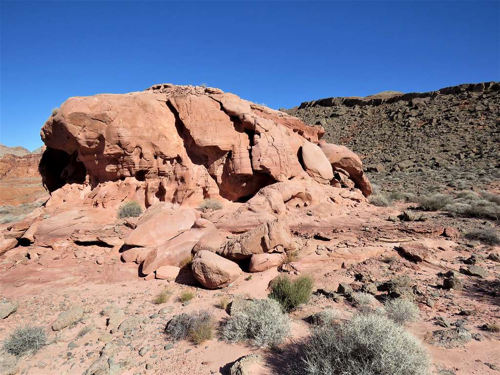
Inside the canyon.
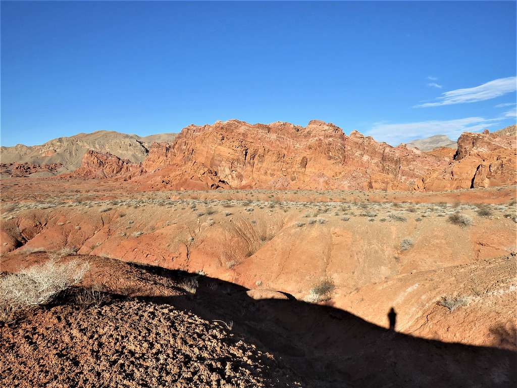
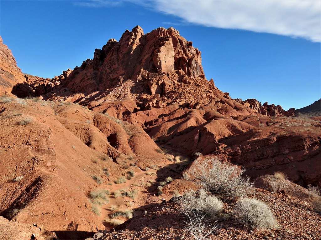
Hiked through the canyon first north and then west until the canyon ended in a broad dry desert wash (2160 ft). Saw a lot of Jeep/ATV tracks in the wash. I really did not want to run into those loud annoying vehicles. Fortunately, none were there at that hour. Went up a slope and got on a brown desert plain going toward Peak 2693 ft. To reach the Bowl of Fire, I had planned to go up to a saddle on the south side of the peak. Google earth had shown that the summit of Peak 2693 ft was guarded by cliffs on 3 sides. Only the south side of it, which was scarred by a deep drainage groove, seemed to provide a possible walk-up path. As I got closer to the peak, I felt that I did not want to get myself involved with potentially nasty slopes. I wanted to have a relaxing hike in Bowl of Fire, so I decided not to climb Peak 2693 ft.
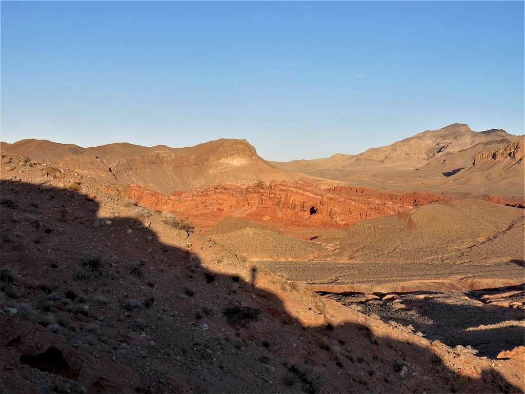
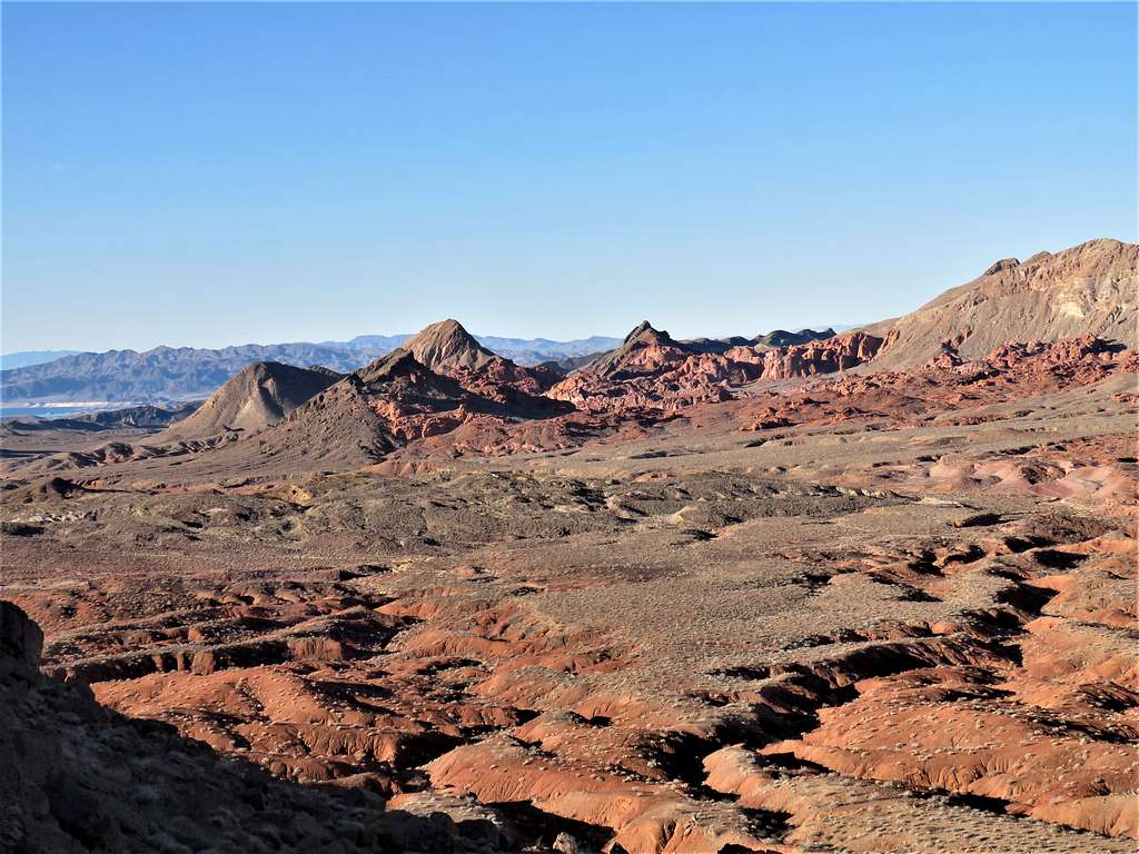
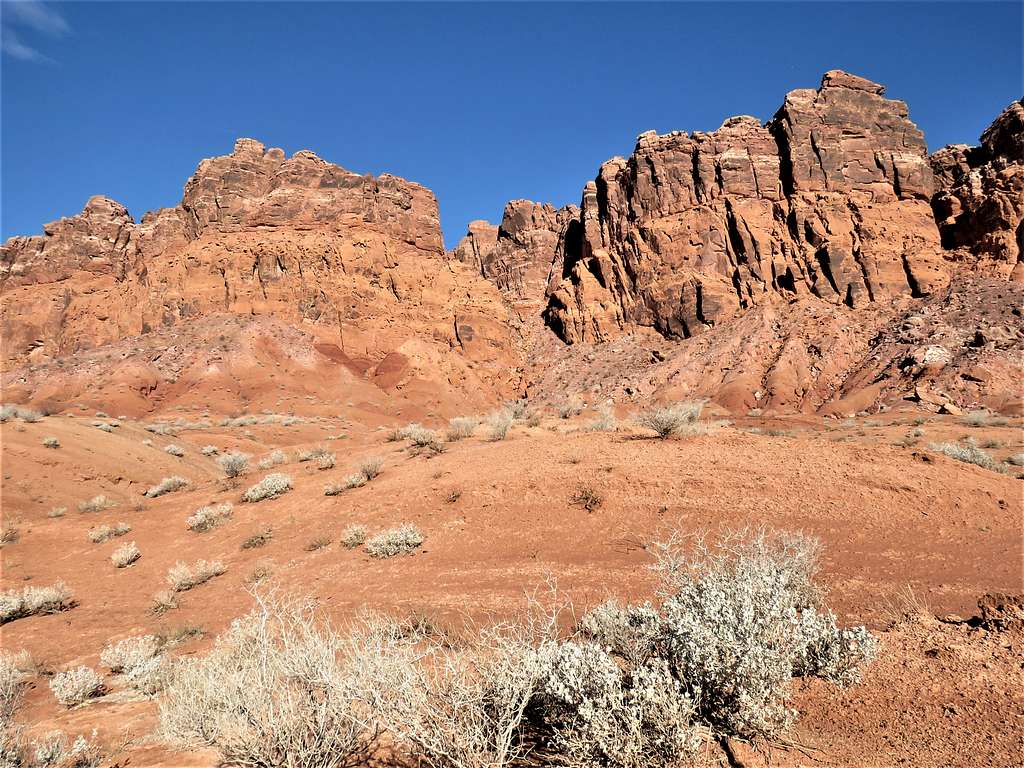
At 8:00 a.m., 2.25 miles and 2400 ft elevation, I reached the saddle on the south side of Peak 2693 ft. Bowl of Fire came to view to the west. What a spectacular scene.
With much joy, I began to go down the other side of the saddle into the Bowl of Fire.
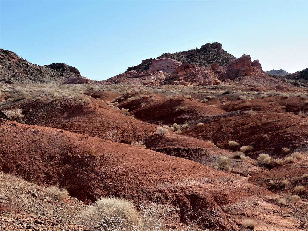
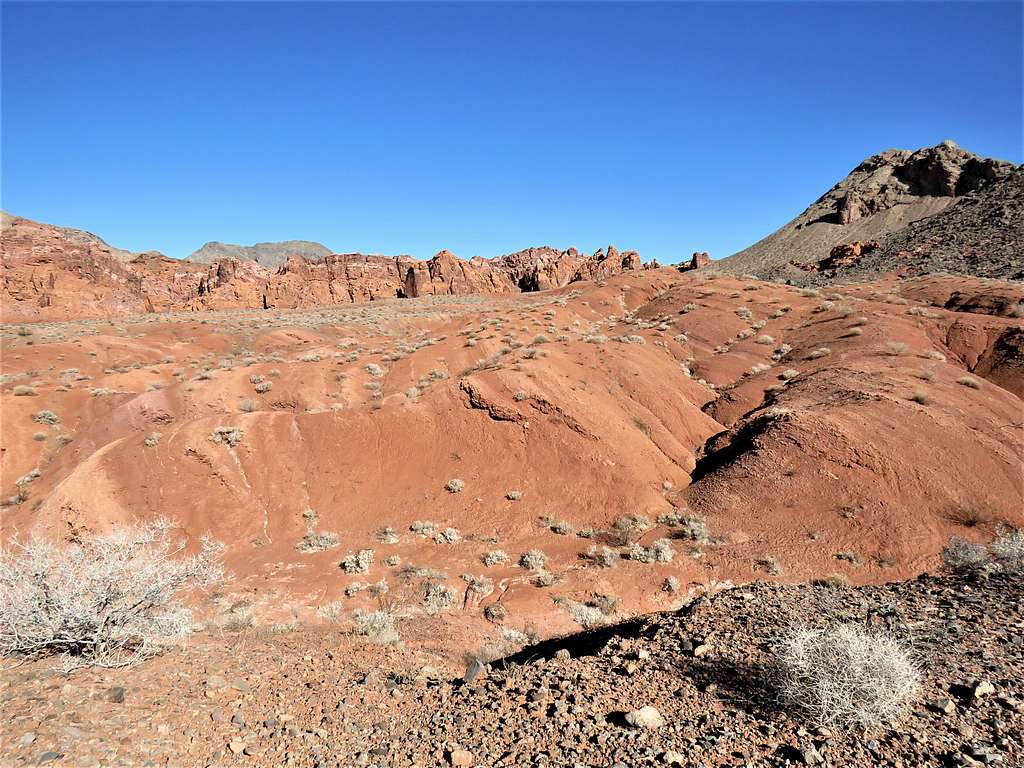
Got onto beautiful soft sandy red soil. I was somewhat hesitant to walk on it fearing that I might be trampling cryptobiotic soil.
Did not want to go into drainages where my view would be limited but did so in the end and felt better that I was not damaging fragile soil.
At 8:41 a.m., 3.21 miles and 2090 ft elevation, I reached a major canyon that I had seen on satellite photos going north cutting into the red cliffs. To avoid a dry waterfall, I got out of the drainage and then went down a slope to reach the bottom of the canyon. Hiked north up the meandering canyon a short distance until I could see boulders filling the bottom of the canyon ahead.
Went up the western walls of the canyon and continued west on the beautiful red colored plain.
From 9:05 to 9:15 a.m., I sat in a place to eat and enjoy the views. I very much loved being all alone at that spot.
Then left and got into a drainage/canyon heading generally south.
The canyon emptied into a broad desert wash. My original plan had been to go south in the wash and then north inside another wash to reach the spot I had been in the wash earlier in the day. I then thought that would be close to 4 miles of desert hiking outside the Redlands without much of a scenery so, I decided to make a shortcut aiming east toward Peak 2693 ft. Obstacles popped up along the way but with a little bit of planning, I ended up with an easy hike.
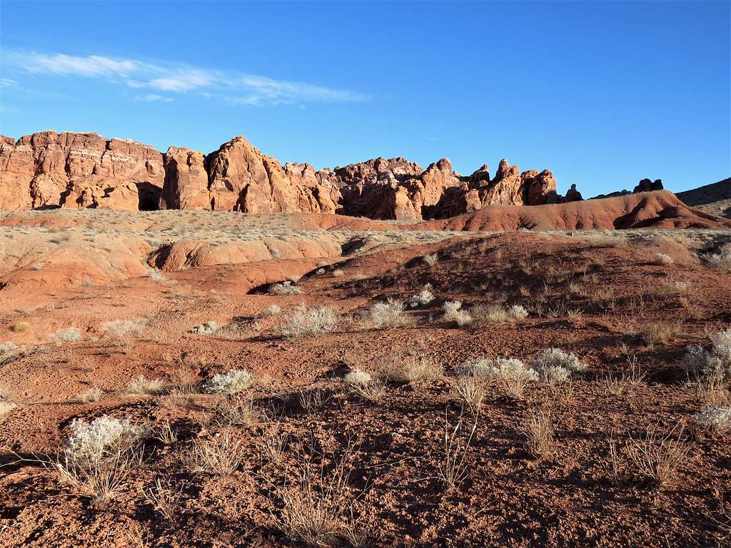
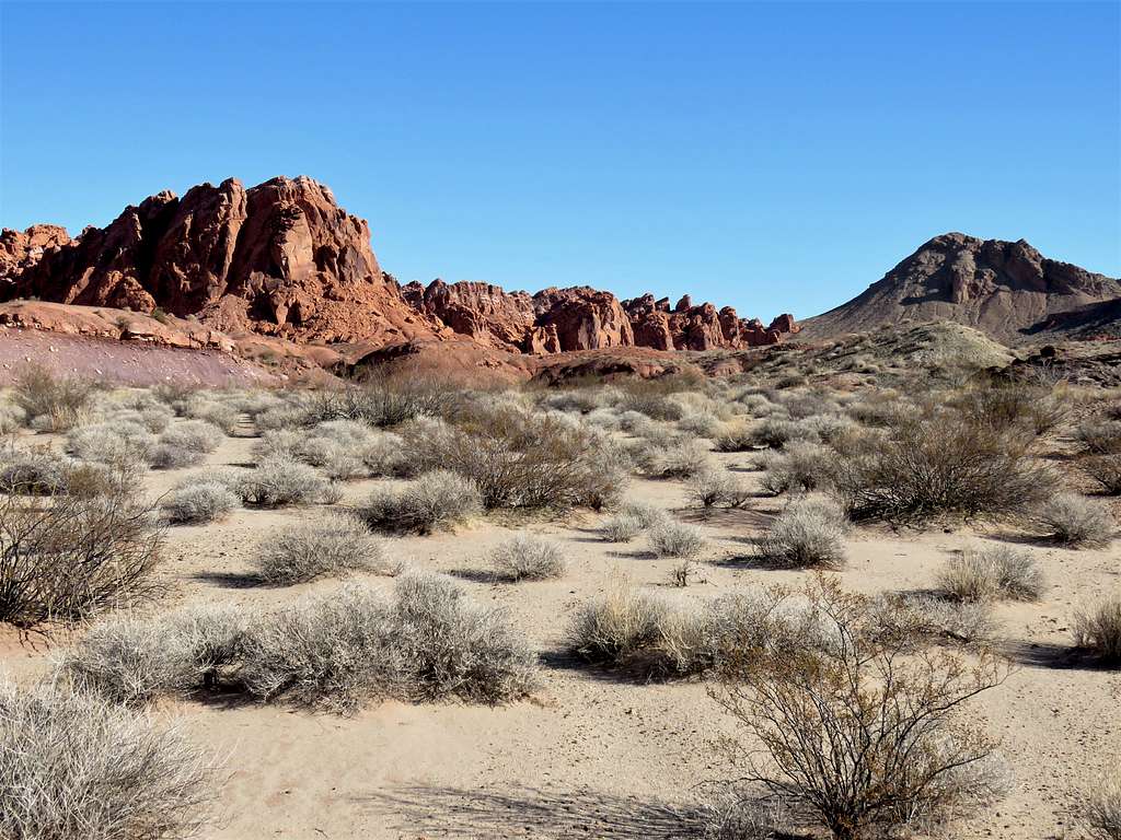
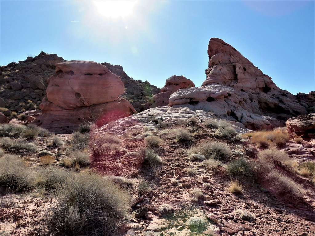
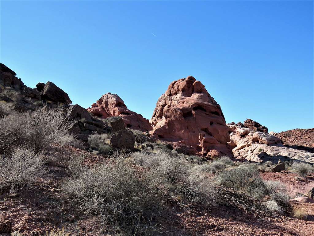
For variety, instead of going back to the saddle south of Peak 2693 ft, I decided to go to a different saddle further south. I actually found a trail there along with a number of interesting pink rock formations.
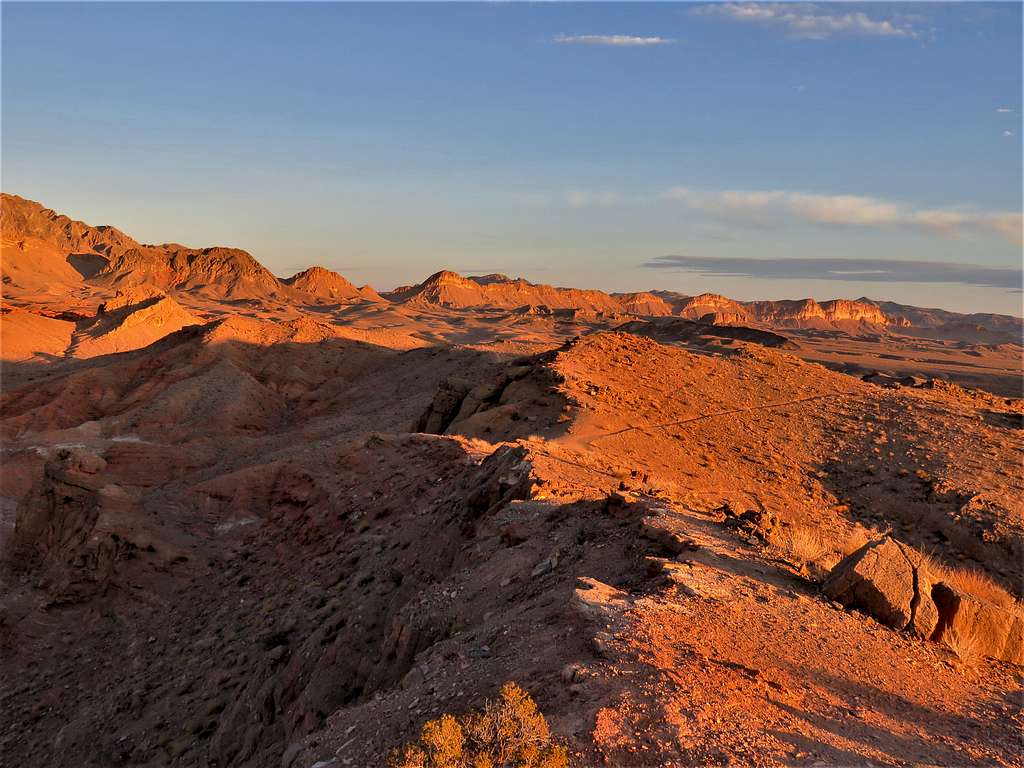
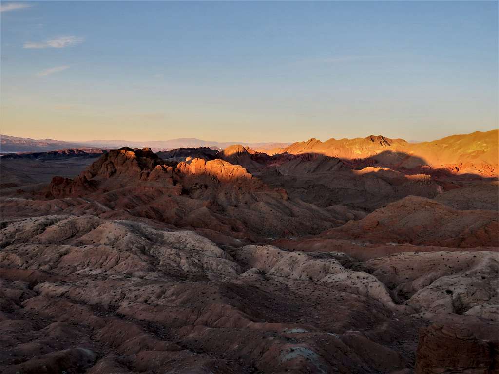
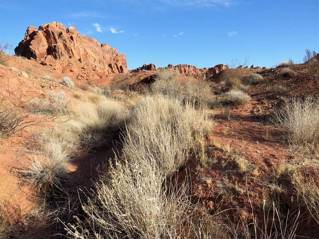
Last views of Bowl of Fire.
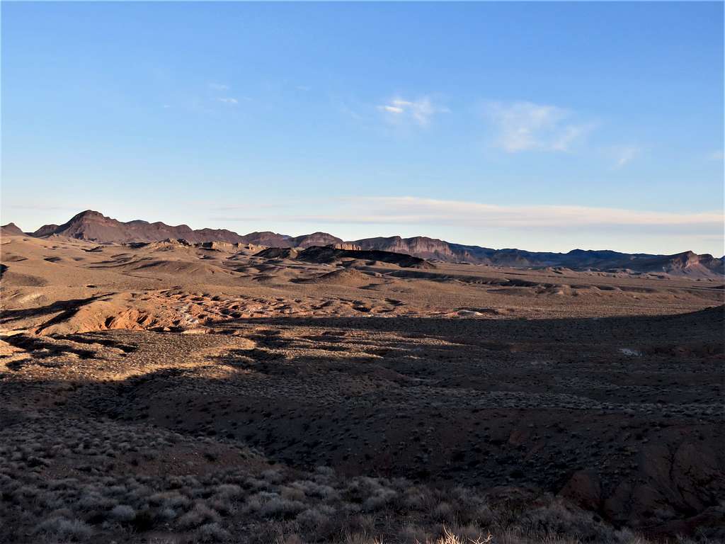
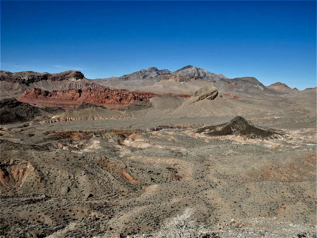
On the east side of the saddle, I was back on the brown desert plain to the south of Peak 2693 ft. Views of Peak 2693 ft and Peak 2313 ft. The 2560 ft ridgetop near the beginning of the trail was also visible.
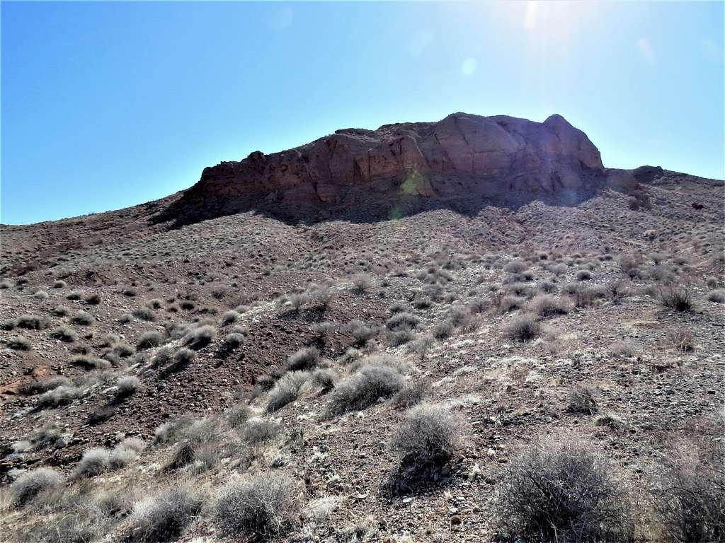
I then reached the broad desert wash where I had been in the morning. Instead of going into the canyon where I had come from in the morning, I went up the eastern wall of the wash and aimed directly for the trail where it went up the ridgetop (as it appeared in my GPS). Reaching there, ended up requiring going in and out of several drainages. View of the ridgetop.
I then reached the trail and hiked back up to the top of the ridgeline. Had good views of what I had seen first thing in the morning but under different light.
Reached the car at 11:21 a.m. another car was there.
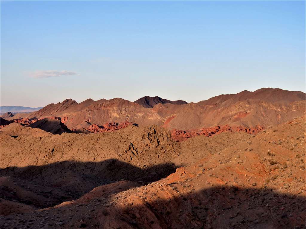
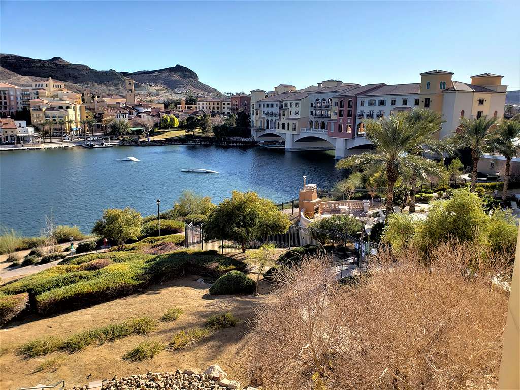
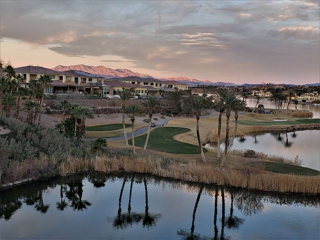
Drove back to the vacation rental condo in Lake Las Vegas. Nice evening views from the porch.