


Comments
No comments posted yet.
|
|
Trip Report |
|---|---|
|
|
36.20135°N / 114.67093°W |
|
|
Download GPX » View Route on Map |
|
|
Feb 8, 2022 |
|
|
Hiking |
|
|
Winter |
Lake Mead is created by Colorado River behind Hoover Dam near the city of Las Vegas, NV. This huge body of water stretches over desert plains and meanders through desolate mountain canyons. I wanted to come up with a hike that would take me from State Route 167 (Northshore Drive) through the mountains to Lake Mead. Looking at Google Earth, a desert wash/canyon to the east of Pinto West Peak seemed to provide me with such an opportunity. Google Earth images were of course not detailed enough to show obstacles such as 20 ft walls. This website, however, indicated that such an obstacle did exist at the lower end of my chosen canyon. Therefore, I came up with a path that was supposed to take me out of the canyon just before the obstacle, up and down many points to reach Lake Mead.
The USGS Map puts the surface elevation of Lake Mead at 1220 ft above sea level. Due to drought, the level of the lake at the time of my hike had dropped to 1067 ft. In the end, I chose to stop my hike at a 1430 ft point with good views of the lake.
Hike Length: 10.25 miles
Starting Point Elevation: 1825 ft
Highest Point Elevation: 2370 ft
Lowest Point Elevation: 1290 ft
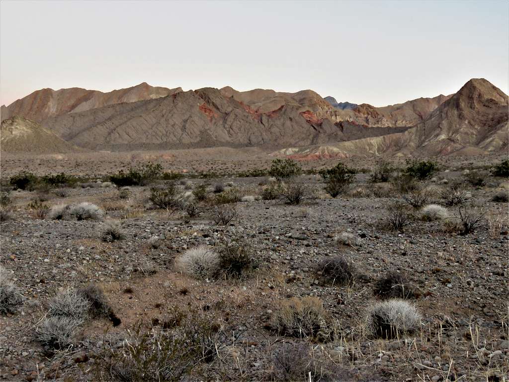
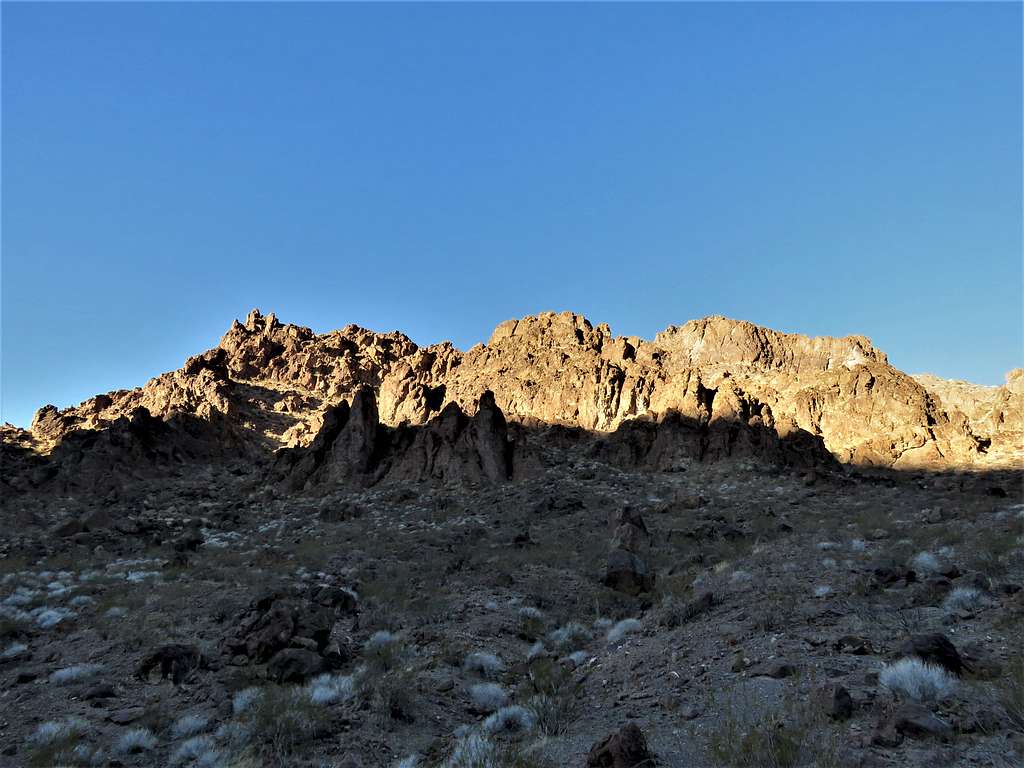
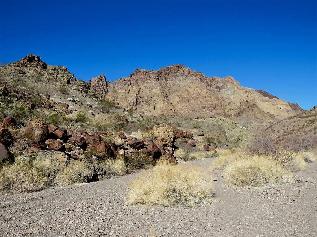
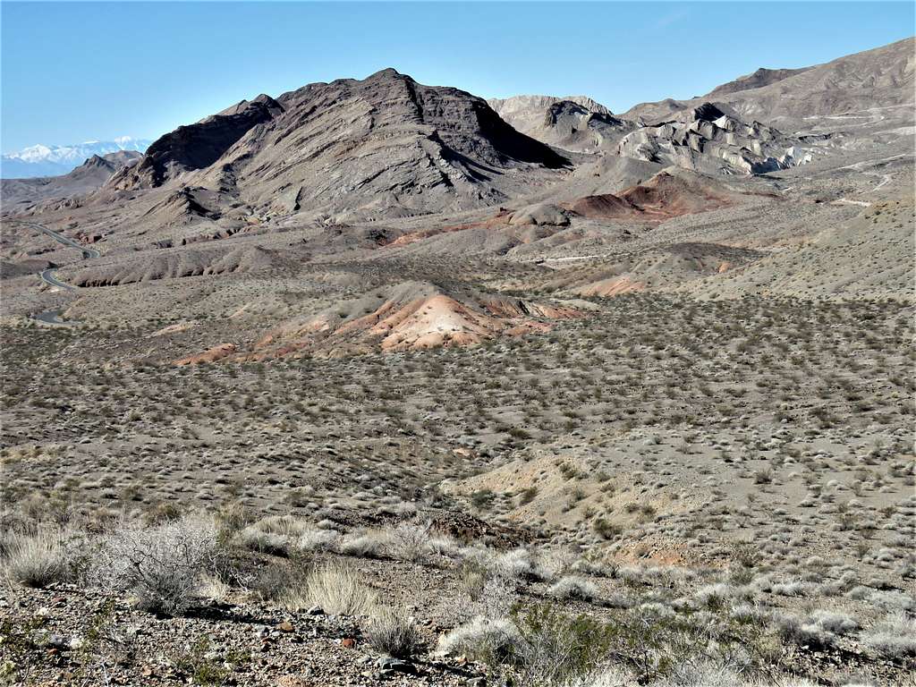
Drove Northshore Drive to just beyond mile marker 17 where on satellite photos, I had seen a pull-off. It was 41 degrees F. Started my hike at 6:26 a.m. and followed the path that I had put in my GPS. My first objective was to go south bypassing the western edge of Hamblin Butte where I could enter a valley to the south of it. The desert floor that I was walking on turned out to be carved by countless little drainages requiring small ups and downs, some deeper than others. I was hoping to not come across a big canyon.
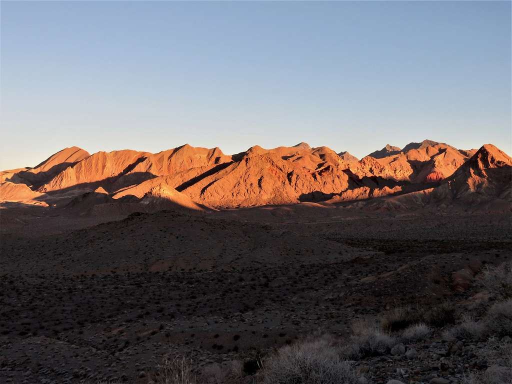
View north before sunrise.
At sunrise.
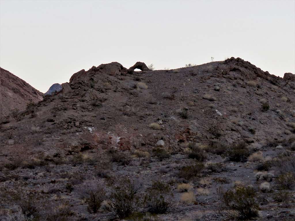
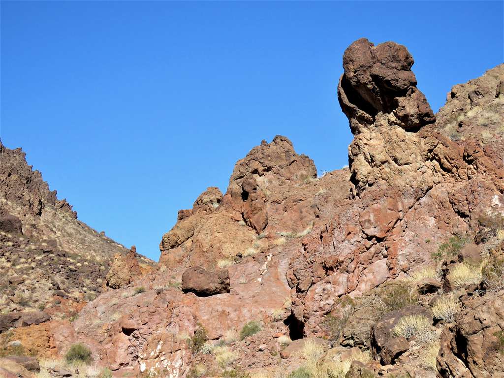
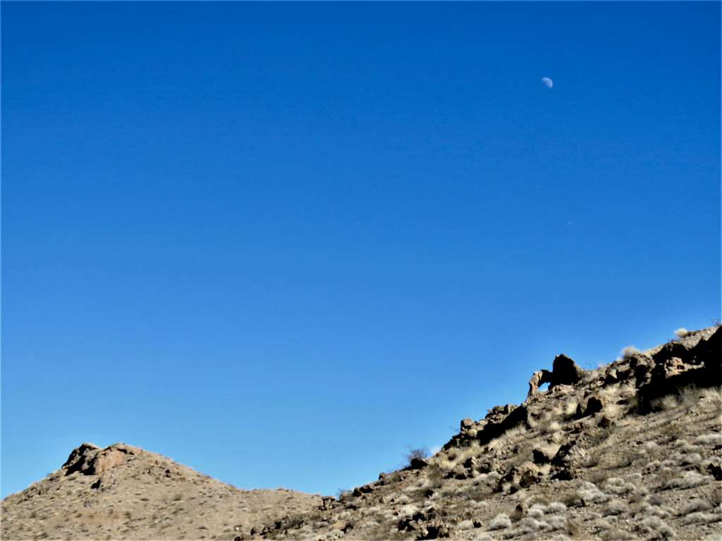
Noted a nameless arch on top of a hill.
Zoomed view southwest.
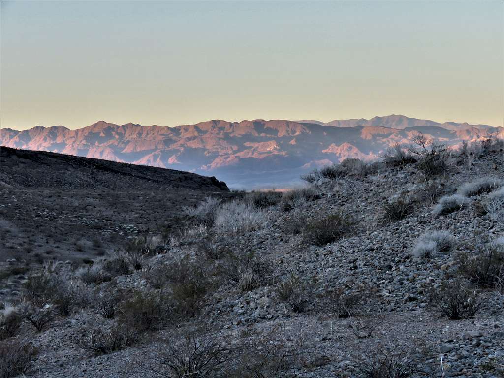
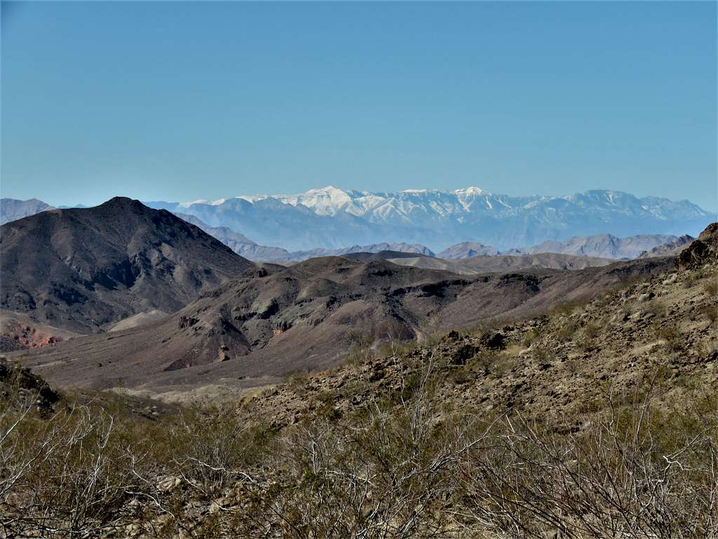
Zoomed view toward Mt. Charleston to the northwest.
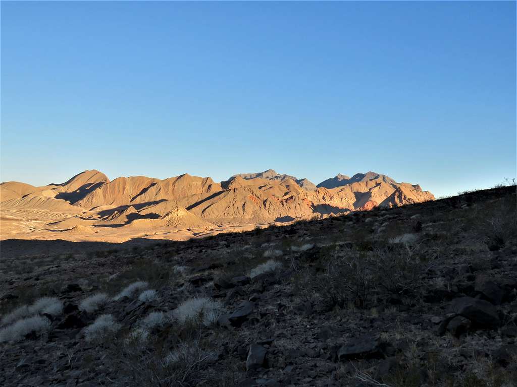
View north again.
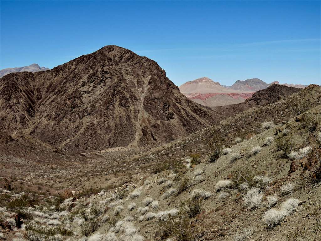
One of the drainages in front of me seemed to be somewhat deep so I veered east to go across it close to the origin of it where it was not very deep. Once I was at the southwestern foot of Hamblin Butte, I turned east going into a broad valley on the south side of the butte and then south again going up the valley to the east of Pinto West Peak. Looking back north at Hamblin Butte and Muddy Mountains behind it.
At 7:41 a.m. and 2.18 miles of hiking, I reached the highest point of my hike on a broad saddle 2370 ft high. Lake Mead was not visible yet, but I knew that I had 1300 ft of descent before reaching its shore. Continued south down a valley with mountains rising on both sides.
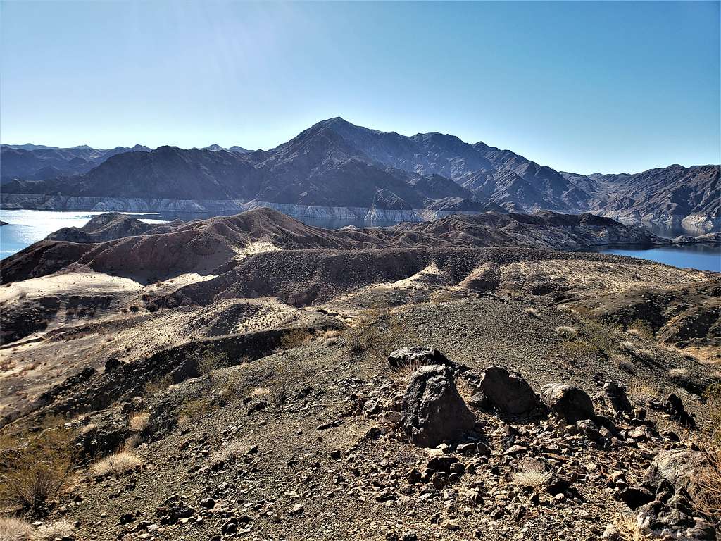
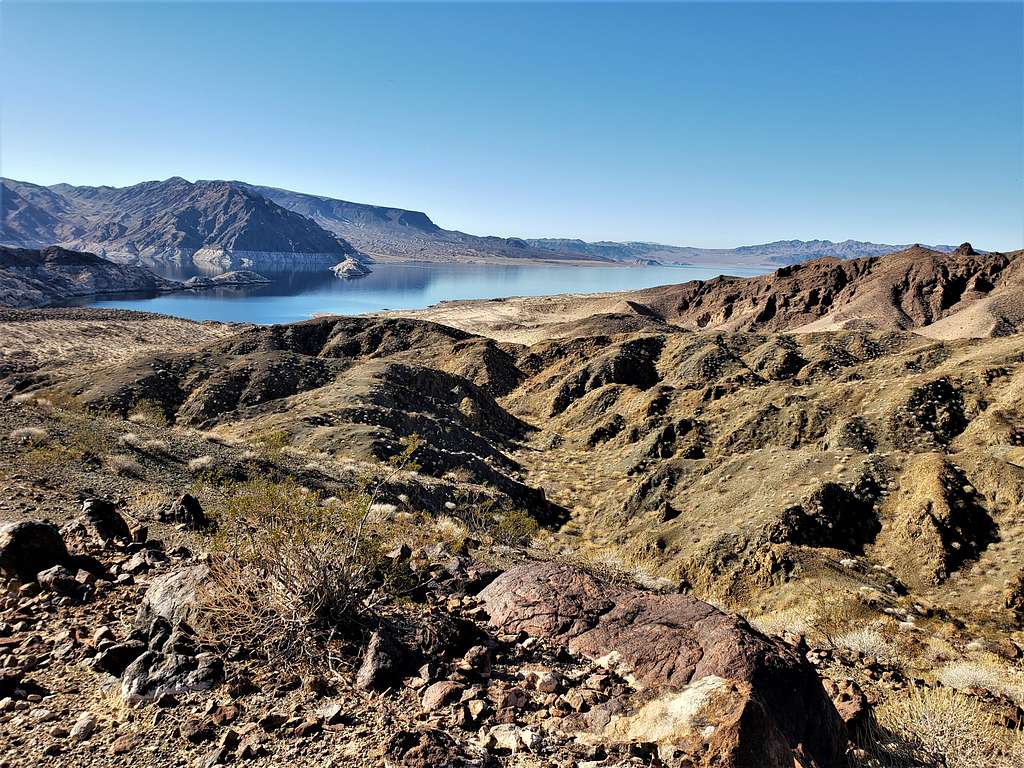
Lake Mead and its so-called bathtub ring finally came to view. Seeing the 150 vertical ft of water level drop below the bathtub ring was depressing and concerning for the future of water supply in southwestern US.
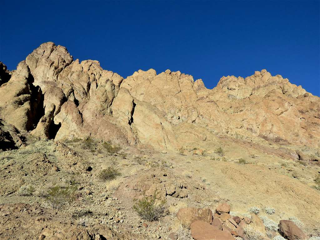
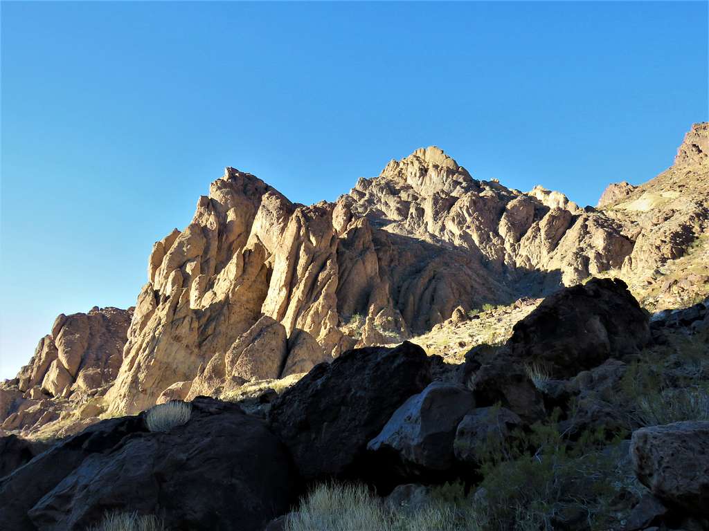
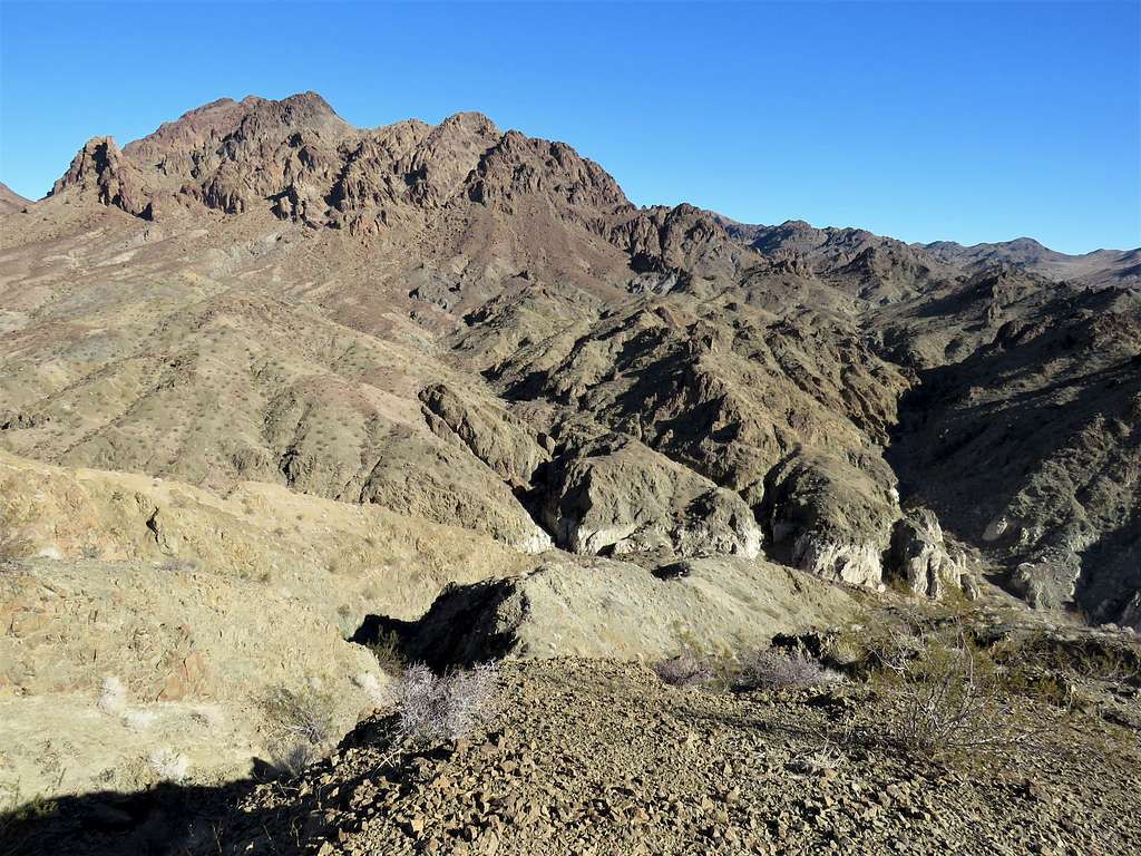
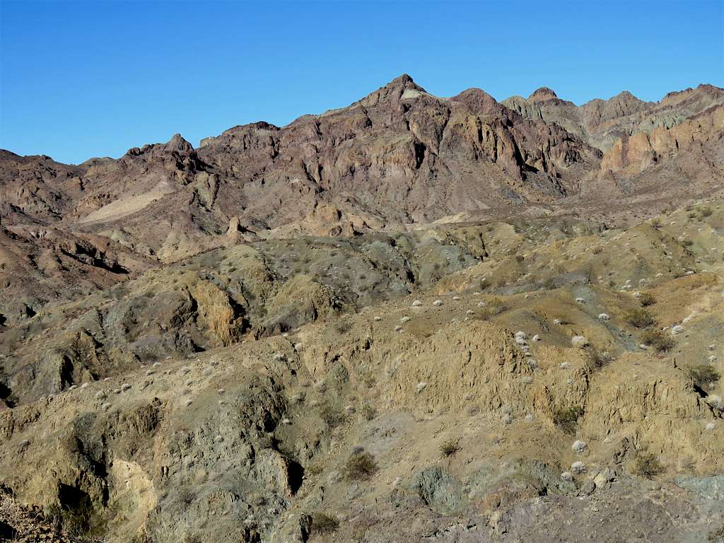
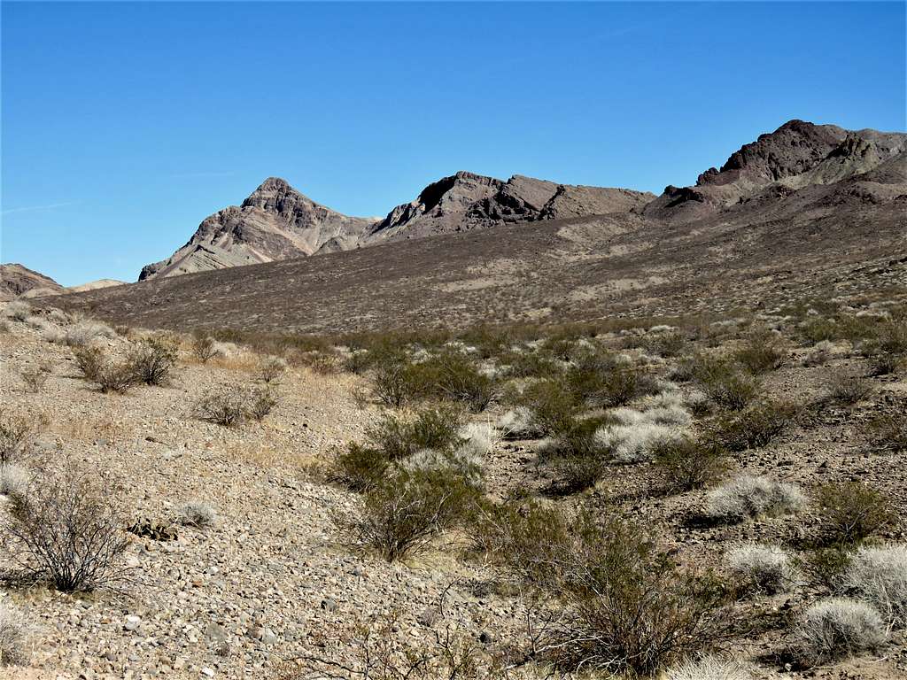
An impressive yellow peak.
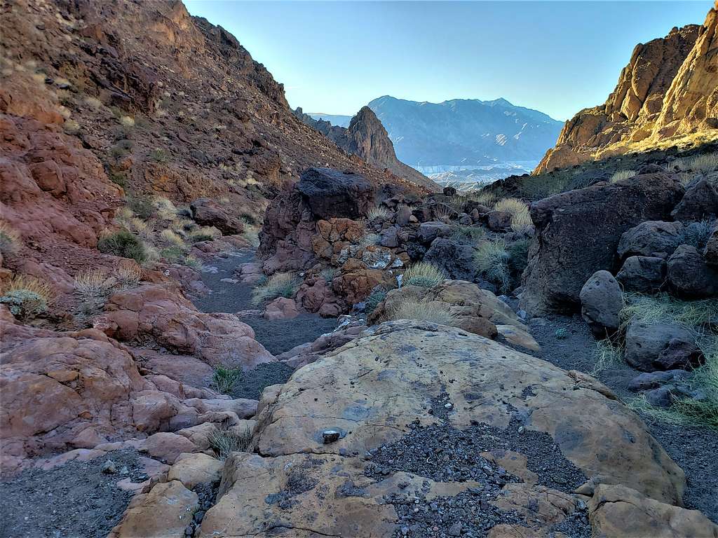
Continuing down the valley.
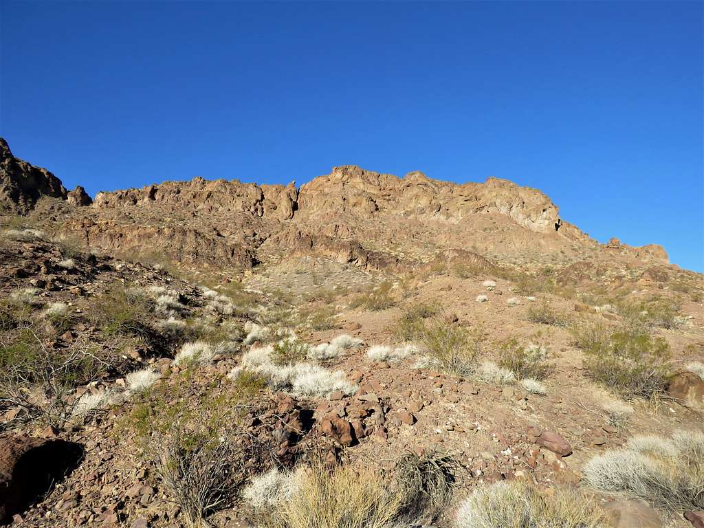
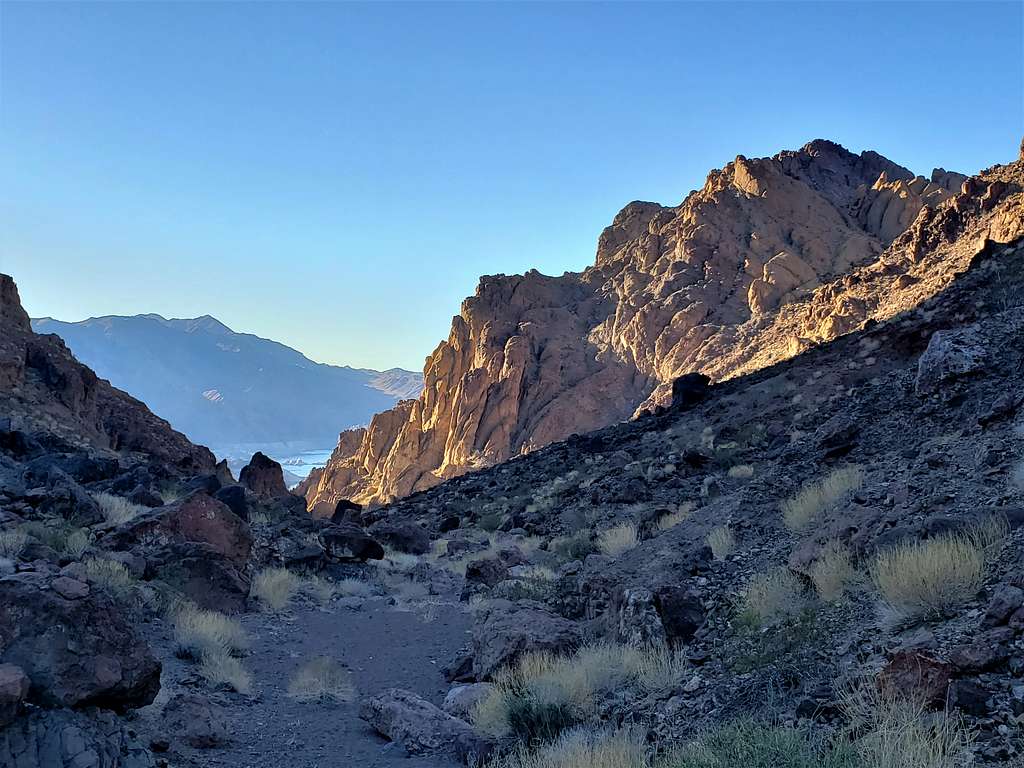
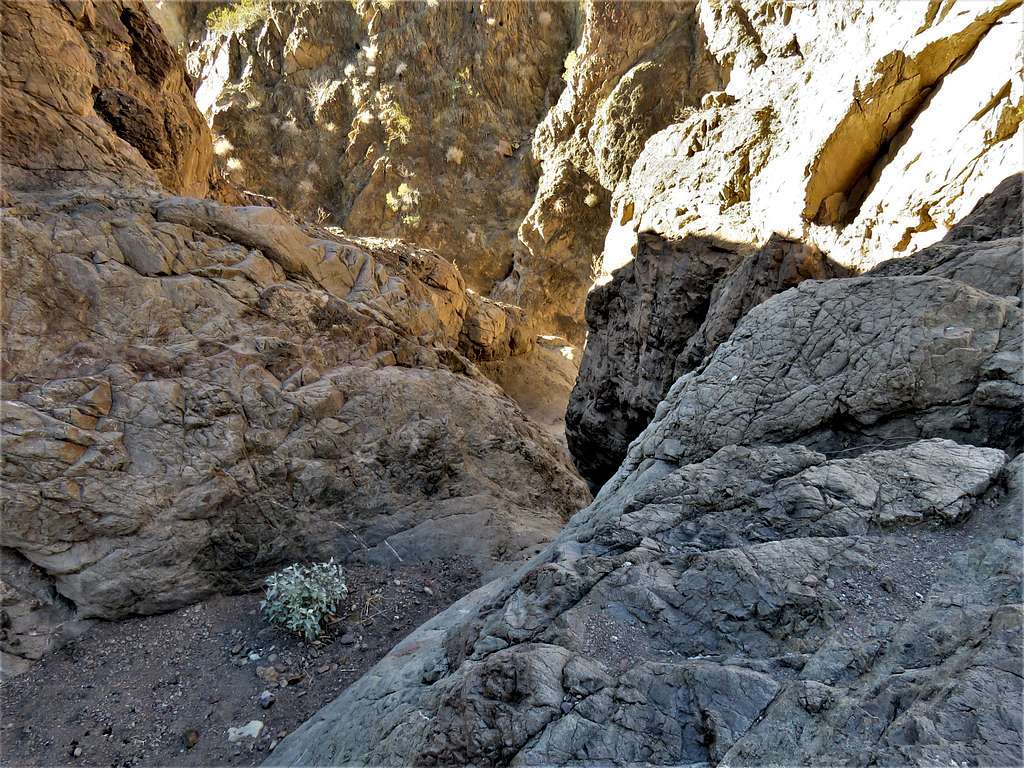
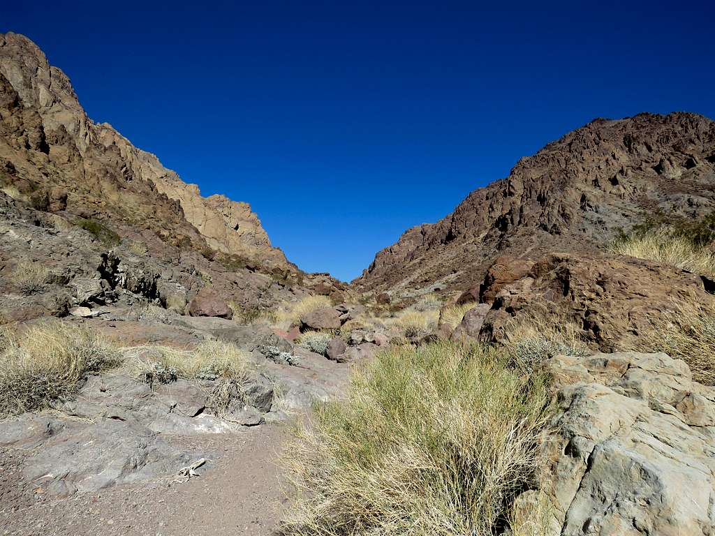
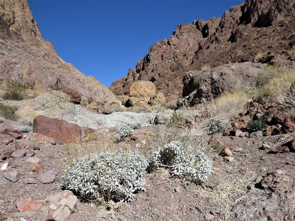
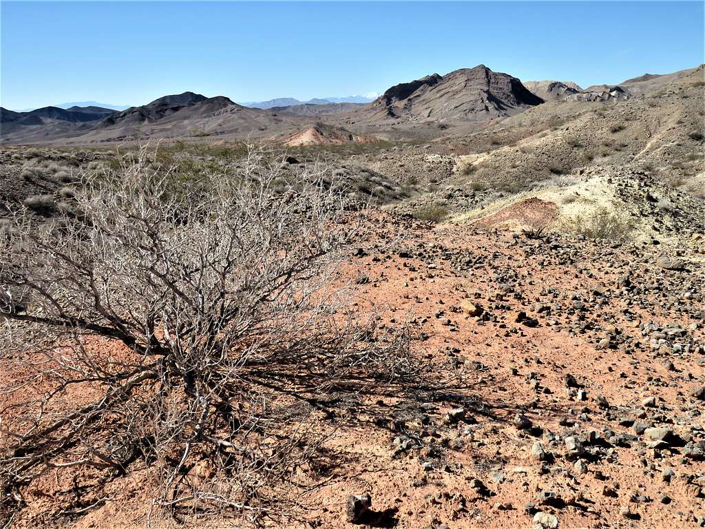
I got into a broad wash and kept going downhill looking at my GPS until I reached the spot where the path in my GPS said that I needed to exit the wash. Continuing down the wash required downclimbing an easy rocky area. I doubted that I was at the obstacle mentioned by the website but decided to give it a try and stayed in the wash which turned into a canyon with vertical walls.
Soon reached the obstacle.
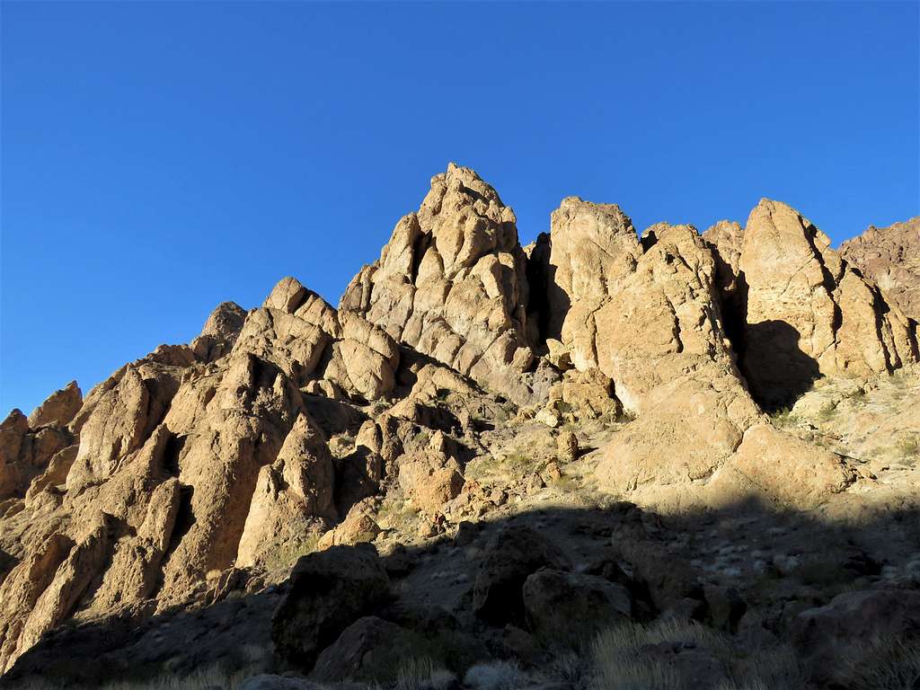
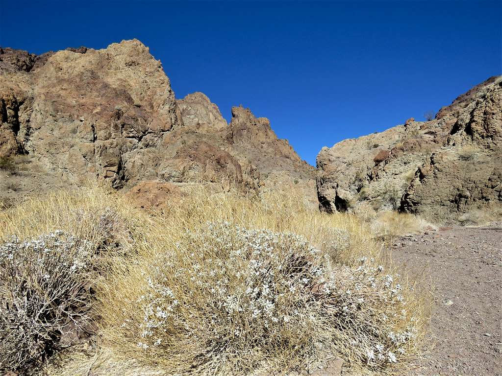
Being all alone in the middle of nowhere, I did not even want to attempt to find a way down, so I turned back and went up to follow the path in my GPS. I needed to be on the left side of a small side canyon but that would have required climbing walls. Went up the not so pleasant slopes on the right side until I was on top of a ridgeline. Lake Mead came to view. Continued up and down the ridgetop to reach a 1430 ft high point with good views of the lake. Could have gone down 400 vertical feet to reach the lake but the views were much better where I was, so I decided to not go any more. Sat there to rest and eat. It was 9:20 a.m. and I had hiked 5.17 miles.
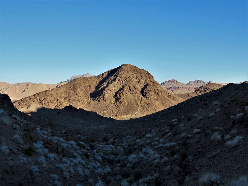
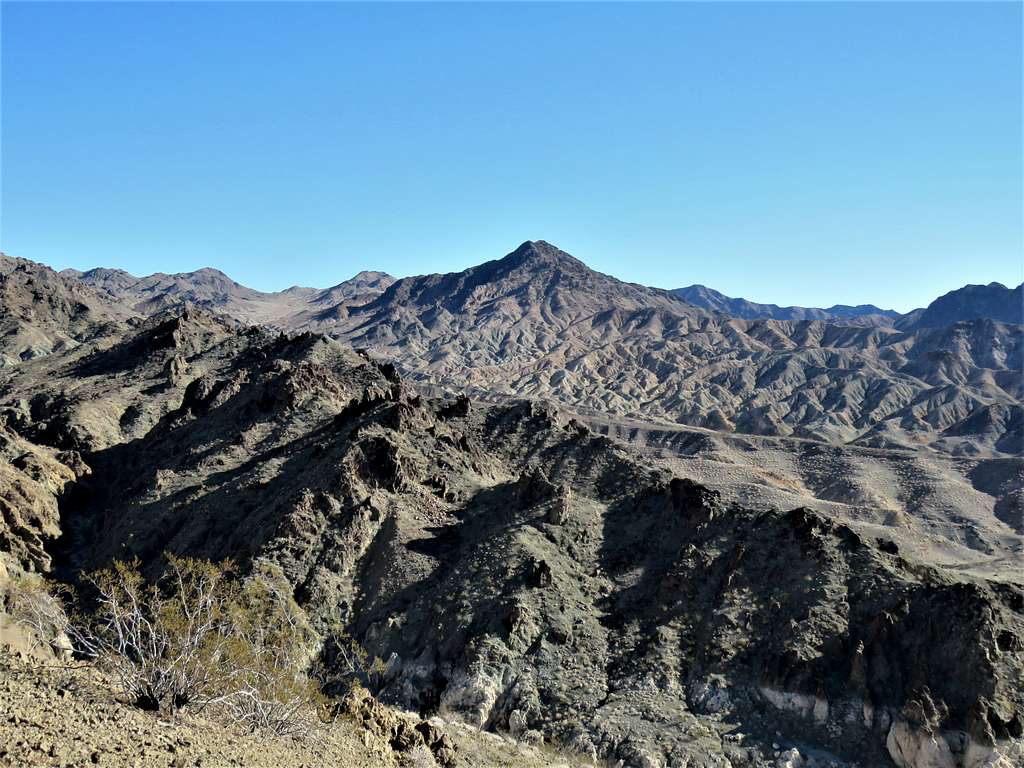
Bearing Peak to the east.
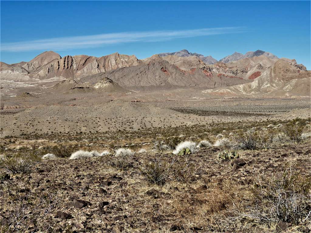
Looking southeast.
Looking south
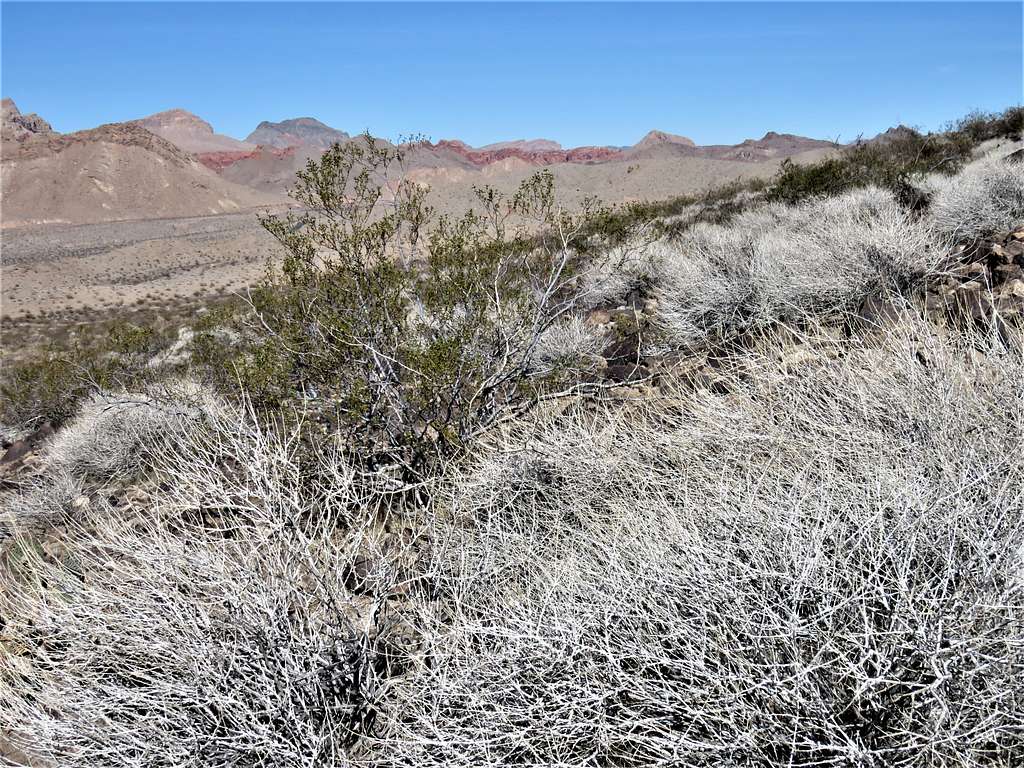
Looking southwest.
Looking north
Zoomed view northwest.
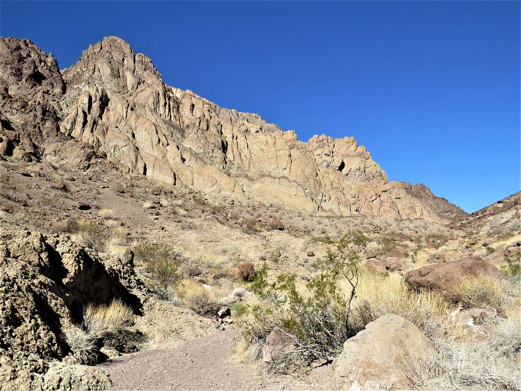
Left at 9:50 a.m. going down into the broad wash retracing my path back up to the 2370 ft saddle.
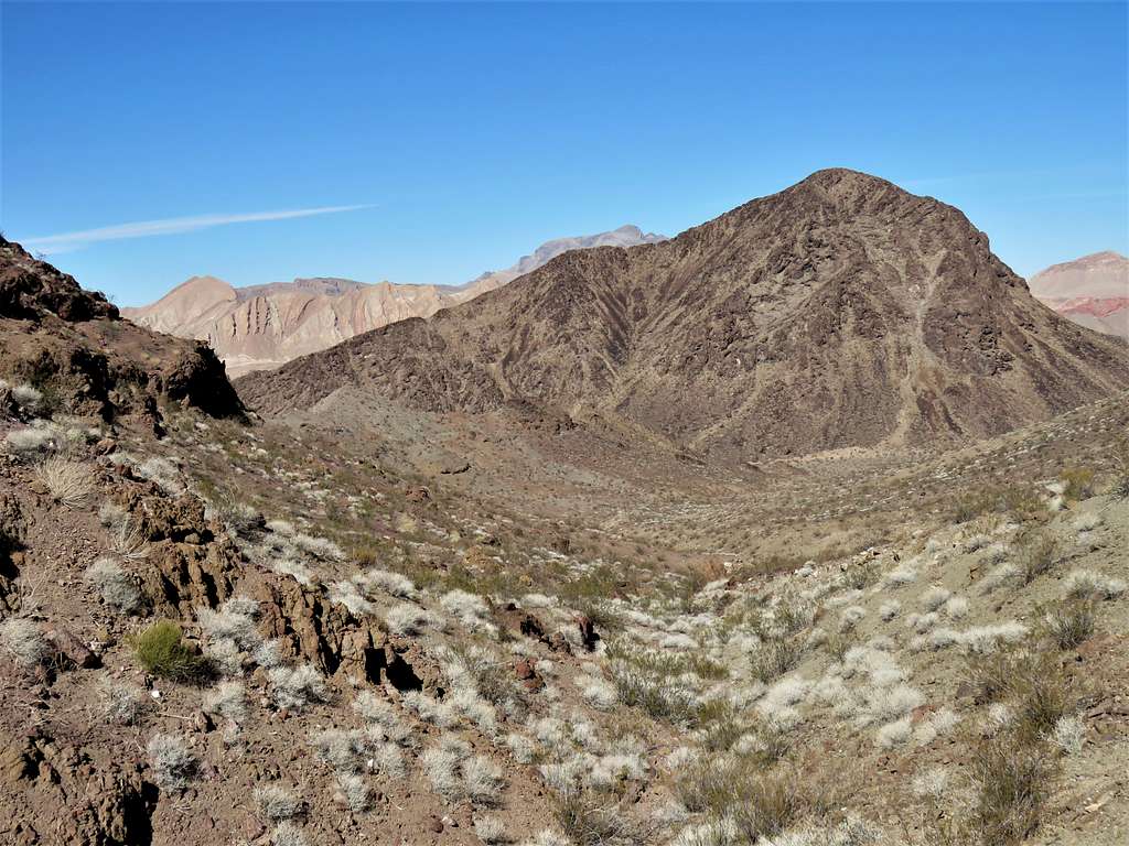
Was at the 2370 ft saddle at 11:36 a.m. and 8.09 miles. Views of Hamblin Butte and Muddy Mountains.
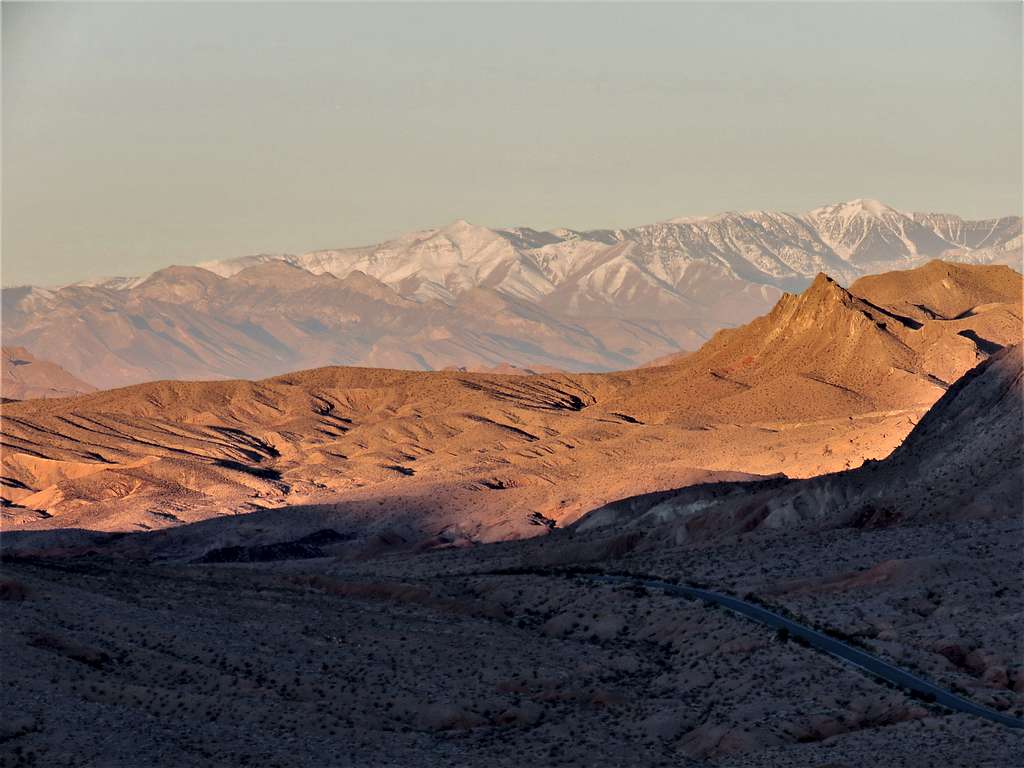
Was then retracing my path back to the car. Zoomed view toward Mt. Charleston.
More views.
Arch and the moon.
Reached my car at 12:51 p.m. and 10.28 miles of hiking. Temperature had risen to a pleasant 70 degrees F.