|
|
Mountain/Rock |
|---|---|
|
|
40.69900°N / 110.902°W |
|
|
11947 ft / 3641 m |
|
|
Overview
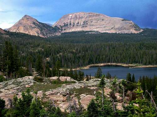
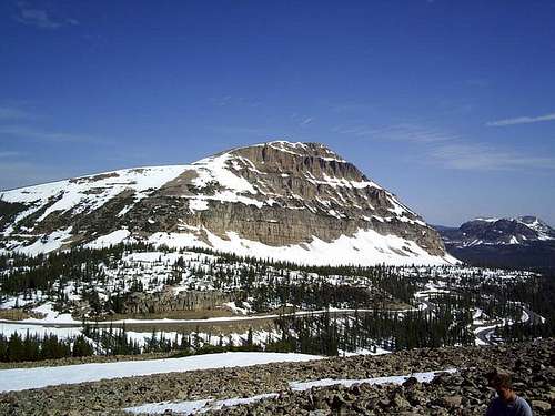
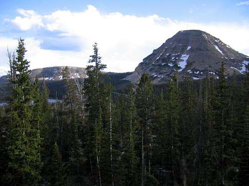
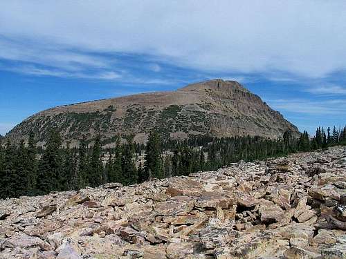
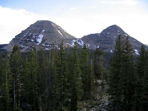
Bald Mountain is the most popular peak in the Uinta Mountains. It is also one of the most popular peaks in the state. Bald Mountain also holds the distinction of being the only mountain in the entire Uinta chain that has a maintained trail to the summit.
The Uinta Mountains are one of the few mountain ranges in North America that run east to west rather than north to south. Within the Uinta Mountains are about 2000 lakes, and some 900-1000 are full of trout. Along with the San Juans in Colorado, the Uintas have more contiguous area above timberline than any other area in the Continental United States. This is a beautiful area with many lakes, meadows, wildflowers, and some rugged peaks.
This is one of the easiest peaks of this elevation in the state of Utah. The rewards are great for doing this spectacular hike. The trail to the summit offers the beginner hiker a taste of what it is like to stand on top of an alpine summit.
Getting There
Bald Mountain Trailhead
To reach the Bald Mountain Trailhead, either drive east and north of Kamas along Highway 150 for 29 miles from Kamas; or south on Highway 150 49 miles south of Evanston. There is a sign that marks the trailhead.
Pass Lake Trailhead
To reach the Pass Lake Trailhead, drive Highway 150 32 miles north, and east of Kamas or 46 miles south of Evanston. There is a sign that marks the trailhead.
Routes Overview
From the Bald Mountain Trailhead, the Bald Mountain Trail climbs 1250 feet in 1.75 miles. This is by far the easiest and most popular route to the mountain, and is probably used for well over 99% of the ascents of the peak.
There are several more challenging routes available. The Northwest Ridge from the Notch Mountain Trail makes a good route. Another good and challenging route is the Northwest Ridge from Pass Lake. Both of these routes have the added attraction of climbing the spectacular Reids Peak in the same trip.
Guidebook Available
More details about the area can be found in the book Western Uinta Backcountry Guide, including many routes to the summit, and hiking trails to the many lakes, and fishing information. Just send me a PM if you want to purchase the book.
SP members can have the book for 1/2 price, and there is no shipping cost.
Red Tape
There is a $3 access fee for parking at the trailhead, or any other trailheads along Highway 150.
When To Climb
July though September is the normal season. There will be snow on the trail in June. Highway 150 is not open in winter, and it would be a multi day trip to climb Bald Mountain unless you have access to a snowmobile.
Camping
There are many campgrounds along Highway 150, but expect them to be crowded on summer weekends, especially around holidays. There are no backcountry campsites on this trail, but the surrounding trails have good backcountry campsites.
Mountain Conditions
Contact the ranger station in Kamas for current road and trail conditions. Their phone number is 435-783-4338.
WEATHER FORECAST FOR WESTERN UINTA MOUNTAINS
Here are some average highs and lows from the 12,139 foot elevation (3700 meters) in the Uintas (about the same altitude as the summit):
| MONTH | HIGH | LOW |
| JAN | 14 | -1 |
| FEB | 16 | 1 |
| MAR | 19 | 4 |
| APR | 27 | 11 |
| MAY | 35 | 18 |
| JUN | 45 | 25 |
| JUL | 55 | 32 |
| AUG | 53 | 31 |
| SEP | 45 | 24 |
| OCT | 34 | 15 |
| NOV | 22 | 8 |
| DEC | 17 | 3 |
External Links
- Climb Utah
Updated trail conditions.



Clubbox42 - Jun 21, 2017 12:53 pm - Hasn't voted
Phone NumberSo, I tried calling the Kamas Ranger Station, and the number on the page sent me to Any Hour Electric, Plumbing, Heating, and Air...
Scott - Jul 9, 2017 3:22 am - Hasn't voted
Re: Phone NumberIt must have changed. I'll fix it with the new number.
Scott - Jul 13, 2017 12:36 am - Hasn't voted
Re: Phone NumberIt's the area code that changed. I'll make sure to update the other pages as well.