|
|
Mountain/Rock |
|---|---|
|
|
40.28760°N / 111.315°W |
|
|
9714 ft / 2961 m |
|
|
Overview


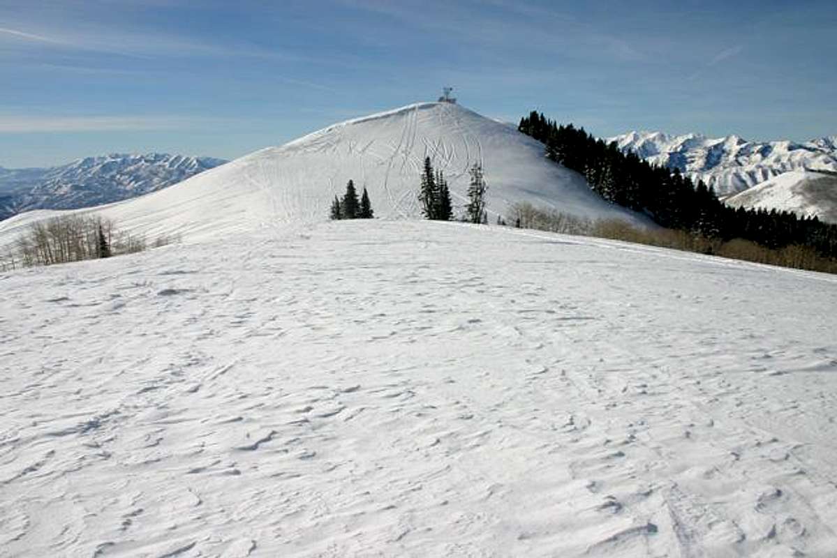
Between the south end of the Wasatch Mountain Range and the western Uinta Mountain Range, lies a broad basin interrupted by multiple, moderate-altitude ridges, running north to south. Arguably the most popular area within this basin is the Strawberry Lake area. The lake is bordered on the west by one of the fore-mentioned ridges, named Strawberry Ridge. The highest point on this ridge lies on the north side and is recorded as Strawberry Peak. The mountain is located roughly 28 miles south of Park City, or roughly 16 miles south of Heber City. Twin Peaks is Strawberry Peak’s neighbor, one mile to the south. Although they have almost exactly 300 feet of prominence between them, and they are separately recorded on the USGS topo maps, there is no distinguishing feature that would cause you to choose Twin Peaks as a destination so I’ll include them together on this page.
Strawberry Peak is not a formidable mountain; in fact you could categorize it as a large hill at 9,714 feet. What makes this mountain noteworthy is its spectacular location east of the southern Wasatch. Unique and rare views of Mount Nebo, Provo Peak, Cascade Mountain, Mount Timpanogos, and North Timpanogos will make you glad you visited Strawberry. Additionally, you have excellent, more distant, views of Lowe Peak, Box Elder Peak, White Baldy, American Fork Twin Peaks, Sugarloaf Mountain, and Hayden Peak.
Strawberry Peak receives a ridiculous amount of snow, yet it is a docile area with very low, mostly non-existent, avalanche danger. This makes it popular for ski tours and snowmobiling. This summit is perfect for days of high avalanche danger that would keep you off the major peaks in Utah.
Click for the Full Trip Report on my photography website.
If coming from Salt Lake City, take I-15 to I-80 East. Travel on I-80 until is connects with Highway 40. Take Highway 40 south. Highway 40 will travel past Park City and continue on to Heber City. Drive through Heber City's main street and at the south end of the town you will come to a traffic light with an obvious junction. The signage points that west will take you to Provo and east will take you to Strawberry Lake. Continue towards Strawberry for roughly 16 miles and you will see the Daniel's Summit Lodge development on your right-hand side. Together with the trailhead you find a General Store, Restaurant, Overnight Lodge, and snowmobile rentals (See the Daniel's Summit route for exact details).
From Utah Valley, travel up Provo Canyon to Heber City. Once you reach Heber, turn right on Highway 40 and travel 16 miles to Daniel's Summit Lodge.
Getting There
The easiest way to access Strawberry Peak is through Daniel's Summit (recorded on USGS topo maps as Daniel's Pass), on Highway 40, south of Heber City.If coming from Salt Lake City, take I-15 to I-80 East. Travel on I-80 until is connects with Highway 40. Take Highway 40 south. Highway 40 will travel past Park City and continue on to Heber City. Drive through Heber City's main street and at the south end of the town you will come to a traffic light with an obvious junction. The signage points that west will take you to Provo and east will take you to Strawberry Lake. Continue towards Strawberry for roughly 16 miles and you will see the Daniel's Summit Lodge development on your right-hand side. Together with the trailhead you find a General Store, Restaurant, Overnight Lodge, and snowmobile rentals (See the Daniel's Summit route for exact details).
From Utah Valley, travel up Provo Canyon to Heber City. Once you reach Heber, turn right on Highway 40 and travel 16 miles to Daniel's Summit Lodge.


