
-
 6301 Hits
-
 82.81% Score
-
 16 Votes
|
|
Mountain/Rock |
|---|---|
|
|
38.97739°N / 122.55882°W |
|
|
Lake |
|
|
Hiking |
|
|
Spring, Summer, Fall, Winter |
|
|
2288 ft / 697 m |
|
|
Overview
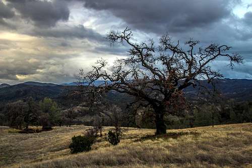
Hillside oak by the Bally Peak trail
Getting There

Trail start by the road side
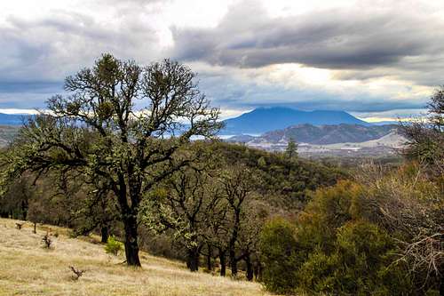
Mt. Konocti from Bally Peak
From the junction of Hwy 53 and Hwy 20 on the east side of Clear Lake take Hwy. 20 east 4.9 miles to the trailhead. There is a blue callbox sign on the left hand side of the road about a hundred yards before the trailhead which is on the right side of the road with some trees right before it. Park on the road side.
If you are coming from Interstate 5 take Hwy 20 just north of Williams. Go 32 miles to the trailhead on the left .6 miles past the sign to the Cache Creek Redbud Trail on the left.
Route

Sign at trailhead a few yards in from the roadside entrance

Beginning of the trail up to the right just past the trail sign
The hike is approximately 3.5 miles round trip with a 1,300' gain.
For more info check out Bob Burd's trip report.
Red Tape
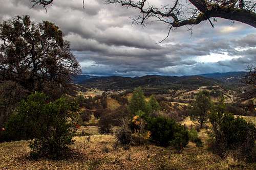
Cache Creek Wilderness from the Bally Peak trail
When to Climb
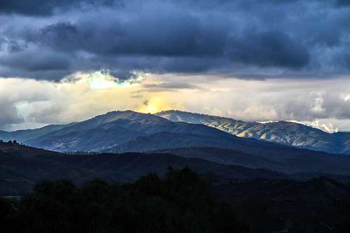
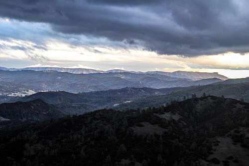
Northwest to Mendocino Nat. Forest from Bally Peak trail
Camping
East across the Cache Creek Wilderness from below Bally Peak
Click here for some backpacking suggestions.
Weather and forecast

Salamander out in the wet weather