-
 7915 Hits
-
 83.43% Score
-
 17 Votes
|
|
Mountain/Rock |
|---|---|
|
|
39.20901°N / 122.81°W |
|
|
Lake |
|
|
Hiking |
|
|
Spring, Summer, Fall, Winter |
|
|
4840 ft / 1475 m |
|
|
Overview
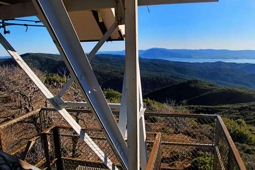
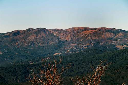
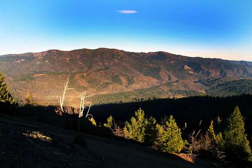
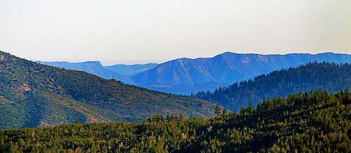
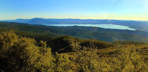
This is one of the best viewpoints in the Clear Lake area. A well graded dirt road with remarkable views as well climbs to over 4,200' in the southern part of the Mendocino National Forest to a pass. The High Glade fire lookout is about a mile up another road. The summit area is open and the views out over the north Clear Lake area are truly exceptional. To the north and east rise Goat and Snow Mtns.. To the west and northwest other prominent peaks like Cow Mtn. Middle Mtn., Horse Mtn, Big Signal Peak and Hull Mtn. dominate the horizon.Getting There
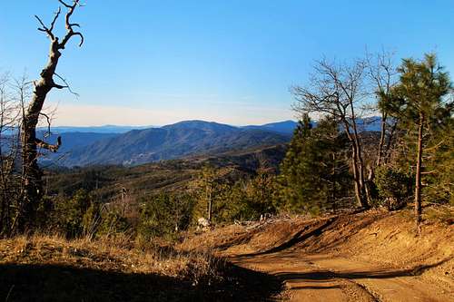
At the junction of Hwy. 20 and Hwy. 29 go .5 miles east to Mendocino Ave. on Hwy. 20 (Elk Mtn. Road). Go left on Mendocino Ave. 1.5 miles (with a few turns) to Pitney Lane. Take Pitney .8 mile to Sam Alley Rd.. Take Sam Alley 8 miles (1st mile paved and well graded enough for most all vehicles) to the pass. The peak with the lookout tower is about a mile up to the right. Park off road at the pass.Route
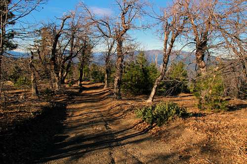
A ranger told me the road to the Fire lookout is open sometimes. When I was there it was closed near the pass.If the gate to the top is closed: Go up about 200 yards around the locked gate. Just past the gate is a level graded area with roads going left and right. Stay right. Walk up about half mile and continue up to the left at a fork. The Fire Lookout is visible up to the left.
You can go part way up the steps of the tower.
The road to the top could be questionable for some low riding vehicles.


