
|
|
Mountain/Rock |
|---|---|
|
|
44.61021°N / 104.7761°W |
|
|
Crook |
|
|
Hiking |
|
|
5376 ft / 1639 m |
|
|
Overview
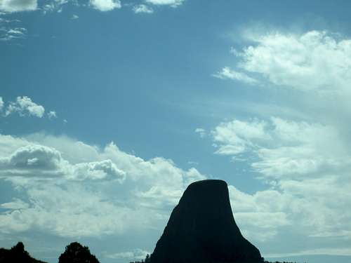
Devils Tower(left) and the Missouri Buttes(right)
PLEASE NOTE - THE MISSOURI BUTTES ARE ON PRIVATE PROPERTY AND THE LANDOWNER HAS REQUESTED PEOPLE NOT HIKE THESE BUTTES.
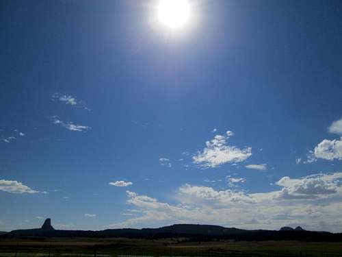
The Missouri Buttes are located 3.5 miles northwest of Devils Tower. While they are taller than Devils Tower, the Missouri Buttes are much less sheer and thus, recieve little attention. The Missouri Buttes consist of four separate summits which rise from an eroded mesa. They are composed of igneous phenolite, the same type of rock that Devils Tower is made of. It is a slick form of volcanic rock that forms into columns as it erodes, with the outer layers peeling off almost like an onion.
The four Missouri Buttes, seen from the top of Devils Tower
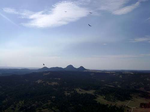
The Northwest Butte is the highest point of the Missouri Buttes, clocking in at 5,374 feet (1,638 m). The Northeast Butte has an elevation of 5,212 feet (1,589 m), the southwest butte has an elevation of 5,020 feet (1,530 m) and the southeast butte has an elevation of 5,055 feet (1,541 m).
Getting There
From Moorcroft, head north for about 60 miles to Devils Tower Junction. From Devils Tower Junction drive towards Hulett for a couple miles. Make a left when you see a large sign for a ranch and a lake. Contunue down a dirt road past ranches for a few more miles. Take a left at the first major junction. You should be able to see the Buttes on your left after breifly gaining some elevation. The Northwest Butte(the tallest of the buttes) is plainly distinguishable.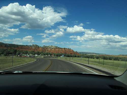
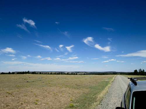
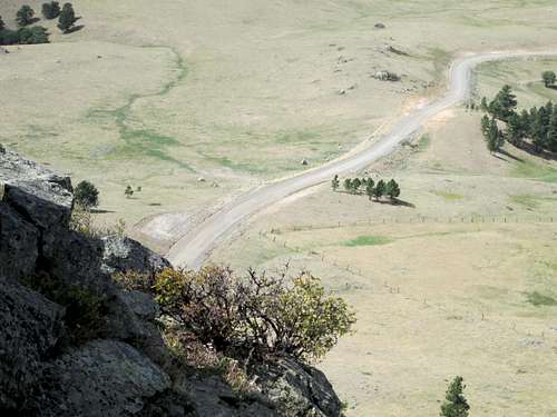
The road near Devils Tower Junction
Devils Tower National Monument
Looking back down the dirt road to the Missouri Buttes.
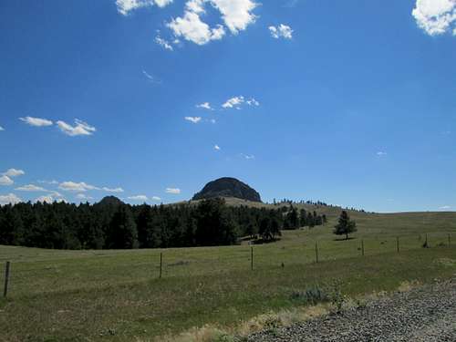
The Missouri Buttes from the road.
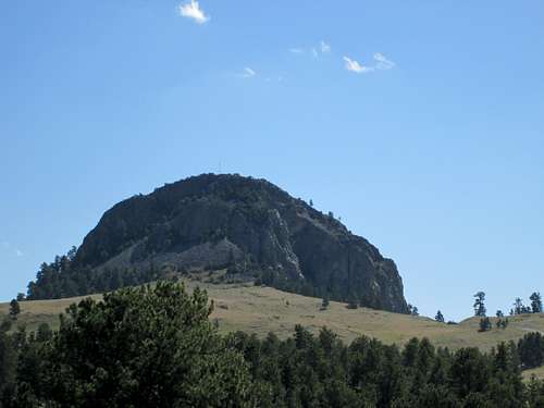 The Northwest Missouri Butte, tallest of the Missouri Buttes
Ascent
 Steep cliffs at the top of the Northwest Missouri Butte
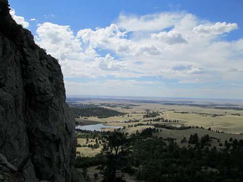
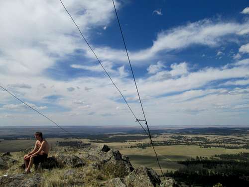
One can reach the top by walking up some easy terrain, followed by 3rd/4th class scrambling to the top. Dependeing on which way you scramble to the top, the route can become moderatly exposed. At the top you will catch spectacular views of Devils Tower and the surrounding prairie. There is also an old radio tower up there, along with a USGS marker.
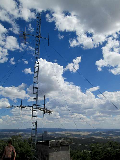
The radio tower on the top
Looking down at the road from the summit of the Northwest butte.
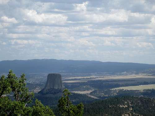
Devils Tower seen from the top of the Northwest Missouri Butte
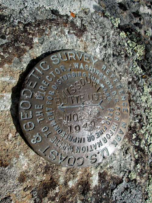
The USGS marker on top of the Northwest Missouri Butte
View of the prairie from the top of the Northwest Missouri Butte. You can see for miles in any direction from the summit.